105 results
7th grade geography resources for Easel Assessments and for homeschool
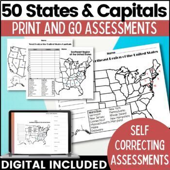
50 States and Capitals Map Activities Print & Digital Resource
Help your students learn and remember the 50 United States and Capitals. This product breaks the 50 states into five regions to make learning easier to manage and teach. United States maps are included with printable assessments, self correcting digital assessment and digital practice worksheets.Update! Easel Digital Version is Included (updated 7/2022)Self Correcting Assessments and Easy to Assign!Save $$$ when you buy as a bundle:The United States and Capitals Geography Review Activities and A
Grades:
3rd - 5th
Types:
Also included in: 50 States and Capitals Bundle Map Print & Digital Resource 50% OFF
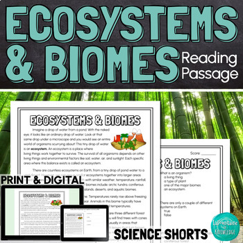
Ecosystems and Biomes Reading Comprehension Passage PRINT and DIGITAL
This easy to read, one page passage defines ecosystems and biomes and explains the difference between the two terms. It describes 7 of Earth's major biomes: arctic tundra coniferous forestsdeciduous forestsrainforestsgrasslandsdesertsaquatic biomesThis download includes a one page passage with color and black line versions of the illustration, 10 multiple choice reading comprehension questions, an answer key, and 2 self-scoring digital versions - EASEL and Google Forms. Color and black line illu
Subjects:
Grades:
4th - 7th
Types:
NGSS:
MS-LS3-1
Also included in: Ashton's Custom Science Shorts Reading Comprehension Bundle
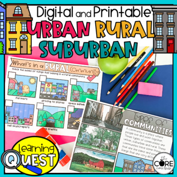
Types of Communities - Urban, Suburban, Rural Communities
These digital Types of Communities activities are easy to use as traditional classroom lesson plans, centers, homework, independent work, or they’re great for fast finishers in first and second grades. Busy teachers love these low-prep lessons and activities that are sure to engage their students! With print & digital options, Learning Quests provide a balance of face to face and device-based learning styles for your modern classroom.Why do teachers and students love our Learning Quests?We a
Subjects:
Grades:
1st - 2nd
Types:
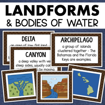
Landforms and Bodies of Water Posters Geography Skills Vocabulary Worksheet
Give your landforms and bodies of water unit a visual boost with this set of illustrated examples! Students will get to SEE what each landform or water body looks like and better understand their features.WHAT YOU WILL GETThis resource contains 24 visuals plus a digital assessment. Each page includes an illustration of the landform or body of water along with the title and definition. Includes:archipelagobaybeachbuttecanalcanyoncavecliffdeltaduneglacierhillislandisthmuslakemesamountainoceanpenin
Grades:
4th - 7th
Also included in: Geography Landforms & Bodies of Water Types of Maps Map Elements Posters
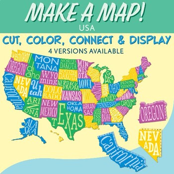
Interactive Bulletin Board United States Map Activity
Transform your classroom into a vibrant learning space with this Interactive Bulletin Board United States Map Activity. This engaging project invites students to actively participate in constructing a colossal wall map of the USA, fostering a collaborative and hands-on approach to learning United States geography. Assign each student a state and watch as the United States comes together, state by state, on your bulletin board! The finished map is an impressive 73 inches in length and 55 inches i
Grades:
4th - 7th
Also included in: USA Geography MEGA Bundle
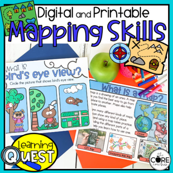
Map Skills Activities - Print & Digital Map Skills Lessons
These digital Mapping Skills activities are easy to use as traditional classroom lesson plans, centers, homework, independent work, or they’re great for fast finishers in first and second grades. Busy teachers love these low-prep lessons and activities that are sure to engage their students! With print & digital options, Learning Quests provide a balance of face to face and device-based learning styles for your modern classroom.Why do teachers and students love our Learning Quests?We all kno
Subjects:
Grades:
1st - 2nd
Types:
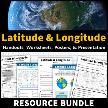
Latitude and Longitude Activities | Map Skills Worksheets Posters Presentation
Learning about latitude and longitude is fun and easy with this resource bundle! This ready-to-use no prep value bundle teaches students about latitude and longitude, the hemispheres of the world, major lines of latitude and longitude (Equator, Prime Meridian, Tropic of Cancer and Capricorn, Arctic and Antarctic Circle), and finding locations using geographic coordinates! This bundle includes: Four handouts introducing latitude and longitude, the world's hemispheres, absolute and relative locati
Grades:
5th - 9th
Types:
CCSS:
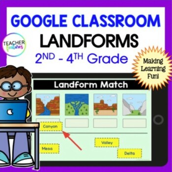
LANDFORMS & BODIES OF WATER 3rd 4th GRADE GEOGRAPHY Activity Quiz Google Slides
Keep students engaged as they explore 24 different landforms and bodies of water through interactive Google Slides. Each slide features a vivid photo, accompanied by easy-to-understand titles and descriptions. This resource not only enriches your social studies curriculum but also includes a multiple-choice quiz to assess student comprehension.Key Features:Visual Learning: Each landform and body of water is depicted with a high-quality image, making it easier for students to recognize and rememb
Grades:
2nd - 4th
Types:
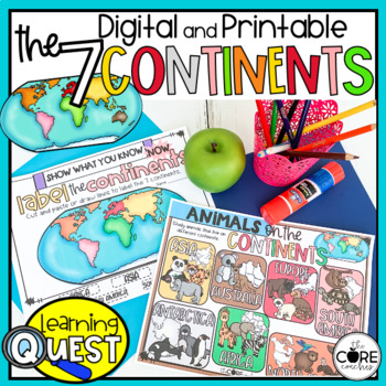
7 Continents Activities - Print & Digital Continent Lessons
These digital Seven Continents activities are easy to use as traditional classroom lesson plans, centers, homework, independent work, or they’re great for fast finishers in first and second grades. Busy teachers love these low-prep lessons and activities that are sure to engage their students! With print & digital options, Learning Quests provide a balance of face to face and device-based learning styles for your modern classroom.Why do teachers and students love our Learning Quests?We all k
Subjects:
Grades:
1st - 2nd
Types:
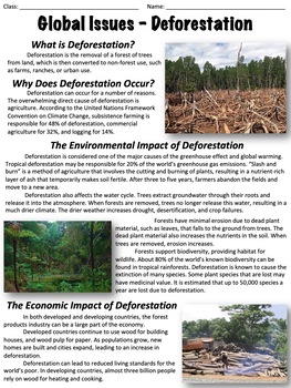
Deforestation - Global Issues
This worksheet covers the issue of deforestation. An optional, ten-question multiple-choice worksheet is included. The worksheet is divided into the following sections:What is deforestation?Why does deforestation occur?The environmental impact of deforestationThe economic impact of deforestationDeforestation ratesHealth concernsCan deforestation be slowed or stopped?There are two extended response questions:What do you think the best method is to reduce deforestation and why? What can individual
Grades:
6th - 9th
Types:
Also included in: Global Issues Bundle
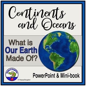
Continents and Oceans Geography Interactive PowerPoint and Mini Book with Easel
Continents and Oceans PowerPoint. Useful for studying the seven continents of the Earth and the five oceans in your geography or Social Studies classes. Includes examples of some major features of each continent of the world and some animals that are unique to each. Students will also see a visual about the equator and the hemispheres of the planet. Great supplemental activity for Earth Day, too. Has l interactive review slides and a printable for students to follow along. There are two Easel As
Subjects:
Grades:
1st - 4th
CCSS:
Also included in: Earth Day Activities Bundle
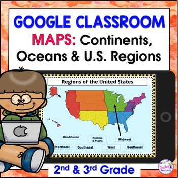
Map Skills US REGIONS CONTINENTS & OCEANS Google Slides & EASEL
Review map skills, 7 continents, identify world oceans & U.S. Regions: Northeast, Southeast, Midwest, Southwest & West using Google Slides. Interactive activities are great for all levels of learning. Use this with your smart board or for individual devices. Includes an Easel Activity! (33 Google Slides, 21 EASEL pages & 60 EASEL Questions)The Google Slide Access link contains 33 slides and 60 Question Easel Assessment:- Continent slides: with labels, without labels & drag the l
Grades:
2nd - 4th
Types:
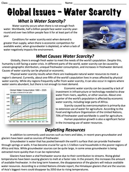
Water Scarcity - Global Issues
This worksheet covers water scarcity, including its causes, impact, and more. An optional worksheet with ten multiple-choice questions is included.The worksheet is divided into the following sections: What is water scarcity?What causes water scarcity?Depleting resourcesImpact on the environmentThreats posed by water scarcityWhat can be done?At the end there are two extended response questions:Where you live, how concerned are you with water scarcity? Why?What do you think would happen if a major
Grades:
6th - 9th
Types:
Also included in: Global Issues Bundle
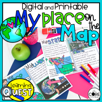
My Place on the Map - Me on the Map - Mapping Skills- Print and Digital
These digital My Place on the Map activities are easy to use as traditional classroom lesson plans, centers, homework, independent work, or they’re great for fast finishers in first and second grades. Busy teachers love these low-prep lessons and activities that are sure to engage their students! With print & digital options, Learning Quests provide a balance of face to face and device-based learning styles for your modern classroom.Why do teachers and students love our Learning Quests?We al
Subjects:
Grades:
1st - 2nd
Types:
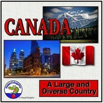
Canada PowerPoint - Overview of the Country's Geography, History, and Economy
Canada PowerPoint. Information on Canada's geography, environmental issues, trade, Canadian Shield, Government, Provinces, Territories, and History. Includes slides on: Canada Day (celebrated on July 1), Acid rain in the Great Lakes region, trade, natural resources, federation under a constitutional monarchy, provinces, history -John Cabot, Samuel de Champlain, the French and Indian War, Canada's Independence, Quebec Politics. Lots of information to use to supplement your unit on the study of t
Grades:
4th - 7th
CCSS:
Also included in: Geography PowerPoint Bundle with Christmas and New Year Around the World
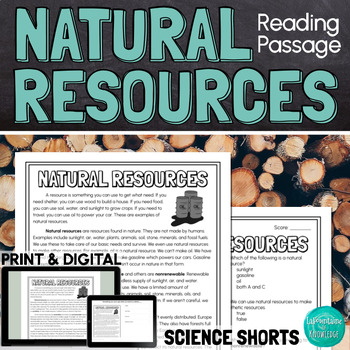
Natural Resources Reading Comprehension Passage PRINT and DIGITAL
This easy to read, one page passage about natural resources explains:natural resources are found in nature but can be used to make synthetic resourcesexamples of natural resourcesthe difference between renewable and nonrenewable resourcesnatural resources are not evenly distributed on Earth because of factors like climate, geologic processes, and the location of ancient lifethe uneven distribution of resources has led to conflict and warThe passage includes 10 multiple choice reading comprehensi
Subjects:
Grades:
4th - 7th
Types:
NGSS:
MS-ESS3-1
, MS-ESS3-4
, MS-PS1-3
American Indian reading passages with questions
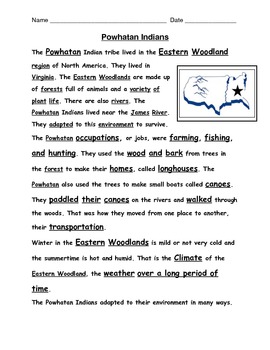
Reading passages for VA 2nd grade Social Studies SOL 2.2, 2.4 on American Indian Tribes: Powhatan, Lakota, and Pueblo all included here. 1 passage and 1 comprehension question page for each tribe. S.S. terms imbedded in text too. Up to date and aligned with VA SOL assessment language.
Grades:
2nd - 3rd
Types:
Weather and Climate - Text and Exercise Sheets
Weather is the state of the atmosphere in a certain place at a certain time. Weather always changes and is different all around the world. It depends on many elements . It may be warm and sunny in one place, but cold, windy and rainy somewhere else.Climate refers to the weather conditions in a certain area over a longer period of time.Contents : 16 pagesIntroductionElements of the weatherTemperatureAir pressureHumidityPrecipitationGlobal wind systemsAir massesClimate ZonesWeather forecastingExt
Subjects:
Grades:
6th - 12th, Higher Education, Adult Education
Types:
Volcanoes PowerPoint - All About Volcanos Writing Activity and Easel Assessment
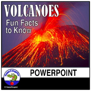
Students will enjoy learning about volcanoes with this 30-slide animated PowerPoint. Informative text on volcano types and shapes, how and what is an eruption, how eruptions are measured, the difference between lava and magma, fun facts, famous volcanos, types of igneous rocks, and a vocabulary terms to know reference sheet. Includes photos of volcanos like Mt. Rainier and Mt. Kilauea, which help students understand the difference between a stratovolcano and a shield volcano. Includes a video l
Subjects:
Grades:
3rd - 6th
Aquatic Biome Reading Comprehension Passage PRINT and DIGITAL
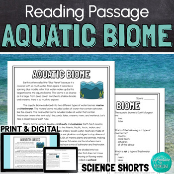
This easy to read, one page passage about the aquatic, or water, biome: Describes 2 types of aquatic biomes: marine and freshwaterExplains that oceans, coral reefs, and estuaries are all part of the saltwater marine biomeExplains that lakes, ponds, rivers, streams, and wetlands are all part of the freshwater biomeExplores the difference between lentic freshwater and lotic freshwaterLists some plant and animal species found in both marine and freshwater aquatic biomes This passage is written in e
Subjects:
Grades:
4th - 7th
Types:
NGSS:
3-LS4-3
, 3-ESS2-2
Also included in: Ashton's Custom Science Shorts Reading Comprehension Bundle
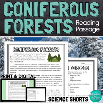
Coniferous Forests Taiga Biome Reading Comprehension Passage PRINT and DIGITAL
This easy to read, one page passage all about the coniferous forest biome (also called taiga):Defines coniferous trees as trees with needles and cones that stay green all year (evergreen trees)Explains where coniferous forests can be found and what the climate is like in this cold, dry biomeLists some types of coniferous trees found in these forests including: pine trees, fir trees, spruce trees, and cedar treesLists some animal species that live in coniferous forests and explores some of the ad
Subjects:
Grades:
4th - 7th
Types:
NGSS:
3-LS4-3
, 3-ESS2-2
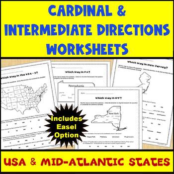
Map Skills Cardinal and Intermediate Directions Mid Atlantic States Worksheets
Do you need a way for your students to practice using maps to identify directions (both cardinal and intermediate)? If so, this set of 5 worksheets (and Easel assessment option) covering the United States and the Mid-Atlantic states of Pennsylvania, New York, and New Jersey can help. Each worksheet has 4-5 questions for students to answer using the map provided on the worksheet. There are 2 USA maps and one each for Pennsylvania, New York, and New Jersey. All of the questions are also provided
Subjects:
Grades:
2nd - 4th
Types:
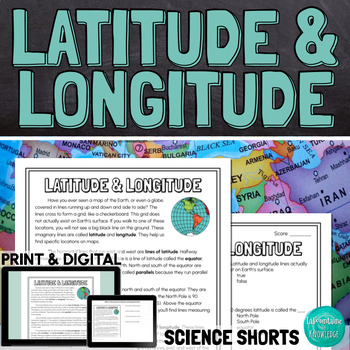
Latitude and Longitude Reading Comprehension Passage PRINT and DIGITAL
This easy to read comprehension passage about lines of latitude and longitude on maps and globes of the Earth explains:latitude and longitude are imaginary lines that help us find exact locations when reading mapslines of latitude run east and west parallel to the equatorlines of longitude run north and south on either side of the prime meridianlatitude and longitude are measured in degrees, minutes, and seconds when used together, latitude and longitude coordinates can help us find exact locati
Subjects:
Grades:
4th - 7th
Types:
NGSS:
MS-ESS2-5
, 4-ESS2-2
Also included in: Keri's Custom Science Shorts Reading Comprehension Bundle
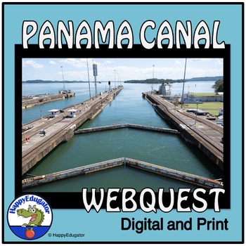
Panama Canal Study Questions Webquest with Digital Easel Activity and Assessment
Explore the Panama Canal with this webquest! Students answer 10 fundamental questions about its location, climate, demographics, and resources. They can complete it as a webquest or conduct independent research. The resource includes an answer key for class discussions. Ideal for homework, homeschool, remote learning, and independent study. 2024 is the hundred and tenth birthday of the Panama Canal. Printable and Digital Resource: Includes an Easel Activity ready for learning with digital tools
Grades:
5th - 8th
Types:
CCSS:
Showing 1-24 of 105 results


