305 results
7th grade geography activboard activities for homeschool
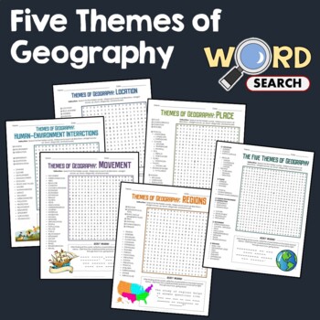
5 Themes of Geography, Terms Word Search Puzzle Activity Bundle Worksheets
This word search puzzle worksheet is perfect if you need something to keep your students occupied. This worksheet will help your students learn more and improve their vocabulary.After searching for the words, your students should be able to solve the secret message by filling out the blanks with the unused letters. The words are hidden in various directions - horizontally across or backward, vertically up or down, diagonally up, down or backward. Some words will also overlap or intersect, which
Grades:
4th - 7th
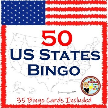
US Bingo I Know the 50 States Group Activity w/ 35 Bingo Cards!
Need a fun way to review the 50 States? Print the Bingo Cards, and show the slides!! Students will see: the shape of each state, where it is located in the US, its state flag, and its state motto.Their job is to identify it and cover it on their Bingo Cards! A great review and there are enough slides to play at least twice. Then play a game where students race each other to identify the states. Both games are great reviews of our US states! **************************************************
Grades:
4th - 7th
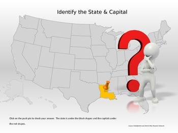
50 States & Capitals Interactive Power Point
Students can practice their 50 states and capitals, locations and abbreviations in this interactive Power Point. If the student does not know the state, they can click to reveal the abbreviation of the state for a second guess.This would be great for a whole class game, small group, or individual practice.
Grades:
4th - 7th
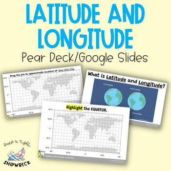
Latitude and Longitude Map Geography Skills Google Slides Pear Deck
Improve your students' map skills with these interactive and engaging Pear Deck slides! Teach your students how to identify lines of latitude and longitude, the Equator, and the Prime Meridian with ease. These slides are a great addition to your geography lesson plans, and can be used as a formative assessment or review activity. The slides come with a brief video tutorial to explain these concepts, followed by an activity where students will pin and label locations on a map using either Google
Grades:
6th - 8th
Types:
Middle School Geography Timeline Map Skills Interactive Google Slides Pear Deck
Introduce your students to essential social studies skills with this interactive and engaging Pear Deck lesson on Geography, Timelines, and Primary and Secondary Sources! This Google Slides presentation includes mixed-level questions to guide instruction, and students will practice important ELA skills such as identifying and applying domain-specific vocabulary, composing clear written responses, and other writing and reading comprehension skills. This lesson is perfect for whole group instructi
Grades:
6th - 8th
Types:
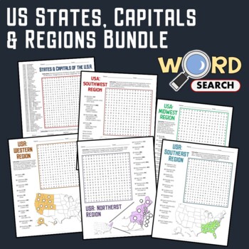
US Regions, States, Capitals Matching Geography Word Search Puzzle Bundle
Keep your students busy with this United States Geography word search. This is a good activity to help develop their knowledge about the states, capitals, regions, and geography of the USA.The words are placed in various directions - horizontally across or backward, vertically up or down, diagonally up, down, or backward. Some words will also overlap or intersect, which makes the puzzle more fun.You can use this as homework or extra work to be done in the classroom.Contents of this BundleHere's
Grades:
4th - 7th
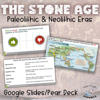
Stone Age Paleolithic Era and Neolithic Era Interactive Google Slides Pear Deck
Dive into the fascinating world of the Stone Age with these interactive Pear Deck slides! Explore the evolution of human civilization through topics such as hunter-gatherer societies, early human migration, technological advancements, and the transition to agriculture. Delve into the lifestyles, tools, and innovations that defined the Paleolithic and Neolithic eras. Engage students in active learning as they participate in discussions, analyze primary sources, and explore the significance of ar
Subjects:
Grades:
6th - 8th
Types:
Also included in: Early Humans Stone Age BUNDLE Pear Decks, Google Docs, and more!
Boom Cards All About Maps
Do you want to make learning to read and use a map fun? Are you looking for purposeful, digital, NO PREP, paperless practice for reading maps? This product is for you! This Boom Cards™ deck provides students practice with identifying symbols on a map, using directions to identify location, and building a map.There are 25 cards that are not randomized. There is audio to support new readers. This game is great for fast finishers, RTI, enrichment, Digital Learning, Distance Learning and even home
Subjects:
Grades:
1st - 2nd
Types:
U.S. Geography with BOOM Cards - Map Skills Activities - 4th, 5th, 6th grades
Your 4th, 5th, 6th, and 7th grade students will enjoy reviewing and learning from the geography of the United States with this all-encompassing Social Studies bundle. Use this as a preview to see what students know, as a review to see what they've learned, or as an active learning and planning unit about the U.S.A.With this US Geography bundle, your students will:Practice and review geography vocabularyIdentify locations of statesIdentify state abbreviations and capitals Determine locations of
Grades:
4th - 7th
CCSS:
World Geography Word Search Puzzle Continents, Region, Map Activity Worksheets
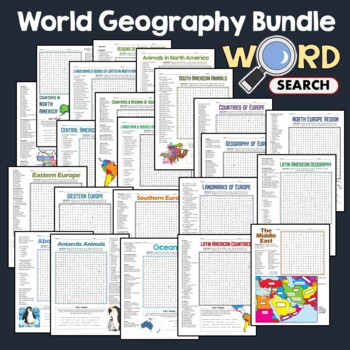
Keep your students occupied with this World Geography word search puzzle. These are nice activity worksheets to help them learn more and improve their knowledge. Apart from finding the hidden words, your students are given an extra challenge to solve the secret message.The words are placed in various directions - horizontally across or backward, vertically up or down, diagonally up, down or backward. Some words will also overlap or intersect, which makes the puzzle more fun.This can be used befo
Grades:
4th - 7th
Spanish Missions in Texas
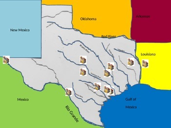
This is a map of the major mission in Texas click by click. Print the second slide and use the interactive mission map to label the major rivers, surrounding principalities, ↦ main missions of TexasTypos have been corrected and an answer key has been updated, previously Fort St. Louis was too far north 10/12/ 2017
Grades:
4th - 7th
Water in the world: Water Scarcity Assignment
Curriculum context: Australian curriculum for Geography.Investigating water scarcity.- Do All Countries Have Equal Access to Water? Students create a graph to compare average water consumption among a variety of countries.- Investigate how water impacts the liveability of people in Australia and another country of your choice.- Includes Assessment Rubric that corresponds to Australian Curriculum Standards.- Socrative revision quiz/test also available in another listing.
Subjects:
Grades:
6th - 9th
Types of Maps Activities
This product is helpful for introducting maps, in particular physical and political maps. Inside this file you will find:-Intro to maps questions-Classroom Map activity-Political vs. Political maps notes and Venn Diagram-Political vs. Political maps printable sorting activity-Promethean Board sorting activity over political and physical maps-Create your own country's maps projectThis are mostly hands-on activities that will have your students demonstrate their knowledge of maps to you. It is a g
Subjects:
Grades:
5th - 8th
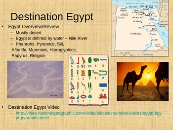
Egyptian Pyramids Powerpoint and Assignment
I created a Powerpoint for theEgyptian Pyramids. This item was originally created for a 6th grade class, but it could be used with students that range from 4th grade to 8th grade depending on academic levels. The Powerpoint includes many different pictures and videos that go along with each slide. The lesson took my students about 60 minutes to complete everything and talk about all of the slides in detail. The lesson also corresponds with the NYS standards and Common Core for grade 6 Social Stu
Grades:
4th - 8th
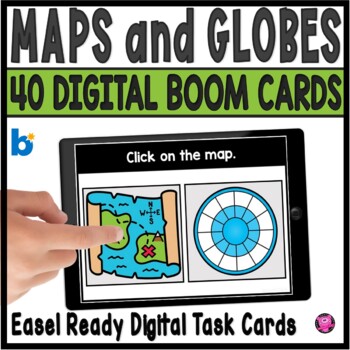
Maps and Globes Kindergarten and 1st Grade Digital Social Studies Centers
Add exciting DIGITAL activities to your map skills units with these maps and globes task cards and Boom Cards! This is a set of 40 map skills and globes task cards to give kindergarten, 1st grade, and SPED students practice with different types of maps, land, water, map symbols, globes, map keys, compass rose, buildings and more. These NO PREP map and globe digital activities will go with ANY geography/social studies units and are perfect for beginning primary grade students!You will be able to
Grades:
PreK - 1st
CCSS:
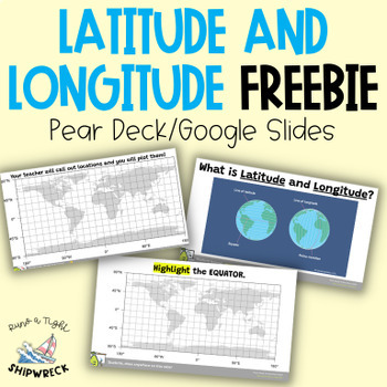
FREEBIE Latitude and Longitude Map Geography Skills Google Slides Pear Deck
Looking to teach your students the basics of latitude and longitude? Look no further than these interactive Pear Deck slides! This engaging lesson will teach students how to identify lines of latitude and longitude, as well as the Equator and Prime Meridian. With activities that challenge students to determine the definitions of Longitude and Latitude, and opportunities to create and call out a list of locations on a world map using Google Earth or an atlas (not included), this lesson is designe
Grades:
5th - 9th
Types:
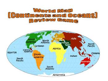
World Map (Continents and Oceans) Review Game - Promethean Flipchart
This 1-page Promethean flipchart helps students learn the location of the continents and oceans through a container game. Students can drag and drop continent and ocean names to their proper locations, with incorrect answers being "kicked" back. This flipchart can easily be used as a whole-group or small-group activity.
Subjects:
Grades:
1st - 8th
Continents and Oceans
Geography Basics - Continents and Oceans for Primary GradesThis file includes 9 PowerPoint Slides that can be used during whole group instruction or each slide can be printed off for individual practice/homework. Use the slides on an ActivBoard and create an interactive engaging experience for your students.Each slide includes a different activity to differentiate learning and give students and teachers variety. Slides include:1. Color each Continent a different color with Continent names incl
Grades:
K - 2nd
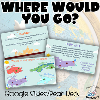
Introduction to Geography “Where Would You Go?” Pear Deck Google Slides
Introduce your students to geography with these engaging Pear Deck slides! This resource will teach students how geography is related to history, civics, economics, sociology, and more. Students will practice identifying and applying domain-specific vocabulary, composing clear written responses, and developing other important writing and reading comprehension skills.After watching a National Geographic video about the importance of geography, students will be given four fictitious regions with d
Grades:
6th - 8th
Types:
CCSS:
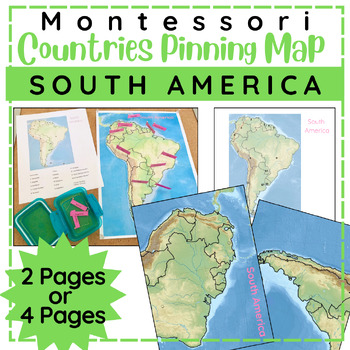
South American Countries Pinning Map
Children will enjoy pinning countries on this physical map of the continent of South America. This is a great follow up work to the Montessori Continent Puzzles and comparable to other Montessori style pin it maps. This file comes with three sizes to choose from: 1 page map, 2 page map, or 4 page map. Includes labels for pinning and control chart.Children choose a pin with country name and place it in the correct spot on the mapAfter the child has placed all the pins, they can self check with th
Subjects:
Grades:
4th - 6th
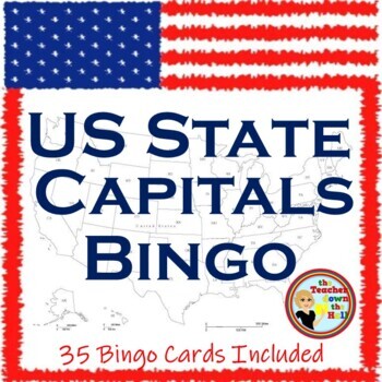
US Capital Cities Bingo I Know Your State Capitals Activity w/ 35 Bingo Cards!
Need a fun way to learn the state capitals? The 50 United States with their flags and locations on a US map are shown on slides. Students will find the capital city of each state on their Bingo cards. There are enough slides to play at least 2 bingo games. Next, line students up in two lines facing the screen. The first of the two students in the front to shout out the correct capital of the shown state goes to the end of the line. The other student is eliminated - a quick and fun review of
Grades:
5th - 8th
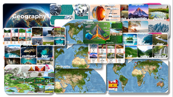
Geography: Editable PowerPoint Slides forTeaching
Geography Volcano-Mountain-pond-desert-beach-glacier-island-ocean-river-hill-valley-waterfall-lake-continent-bay-cave-coral reef-oasis-forest-cliff-mangrove-city-field-iceberg PowerPoint Slides for Teachinginformation and pictures Can play activities during class, increasing interest in learning and teaching of teachers.
Grades:
7th - 12th, Staff
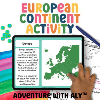
Europe Geography Activity World Geography Curriculum 3rd Grade Geography Project
This European continent activity takes students on a journey to explore the continent's places, people, and animals. Students will learn about maps, demographics, key geographical features, climate, biomes, ocean currents, and much more!What is included:45-page digital Google Slides activityScreenreader friendly versionBoth written and instant correct ‘click the right answer’ questions.4-minute mini-lesson video4-page written activityAnswer sheetWhy Choose Adventure with Aly?Aligned with Curricu
Grades:
3rd - 5th
NGSS:
3-LS2-1
, 3-LS4-3
, 3-ESS2-2
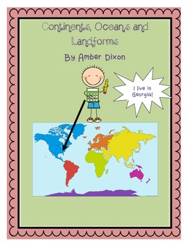
Continents, Oceans, and Landforms STEM Mini-Unit
Included in this pack are colorful slides full of pictures of the oceans, continents, and landforms discussed in first grade. World and U.S. maps help to show students the relationship between oceans and continents. There are day by day directions for teachers along with ready-made activities.
Activities include:
*cut and paste continent activity
*Label the oceans and continents activity
*Paper-mache Earth STEM activity
*Landform foldable activity
*Model Landform STEM activity
Have fun!
Subjects:
Grades:
1st - 2nd
Showing 1-24 of 305 results


