710 results
7th grade geography interactive whiteboards for homeschool
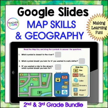
MAP SKILLS US Geography GOOGLE SLIDES & BOOM CARDS 2nd & 3rd Grade Bundle
Are you a 2nd or 3rd grade teacher looking for an exciting way to teach and review map skills & geography? This interactive bundle includes both Google Slides and Boom Cards, so there are plenty of activities to keep them entertained. They’ll learn all about landforms, the equator, the prime meridian, hemispheres, latitude and longitude, continents, U.S. regions, world oceans, the compass rose, cardinal directions - all with lots of vocabulary thrown into the mix. If you want to excite your
Grades:
2nd - 4th
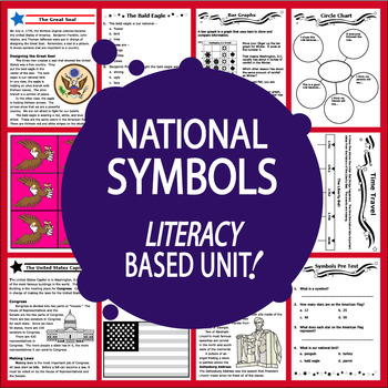
National Symbols – 13 American Symbols & National Landmark Activities & Lessons
Our American Symbols Unit features THIRTEEN COMPLETE Common Core-aligned lessons with a balanced mix of engaging higher and lower level hands-on activities to teach 1st-3rd grade students about our nation's National Symbols:
• National Symbols Pre and Post Tests
• Nonfiction Informational text-we provide all of the National Symbols CONTENT
• Questions to assess Informational Text Comprehension after each of the 13 lessons
• short Research Project to make the game Find the Fib using True and Fal
Subjects:
Grades:
1st - 3rd
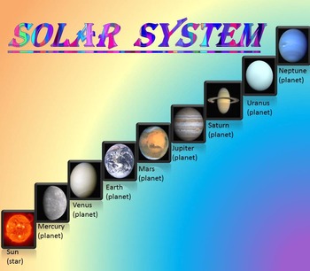
Solar System | Planets | PowerPoint | The Sun | The Moon | Distance Learning
Solar System | Space Quiz | Earth's orbit | Planet ActivitiesThe zip file contains:Solar System - Interactive slide show- inner planets: Mercury, Venus, Earth, and Mars; - outer planets: Jupiter, Saturn, Uranus, Neptune;- Earth's orbit- The Sun- The Moon - Space Quiz- AnswersThis is a beautiful and informative 30 slide PowerPoint presentation and 22 pages PDF.I've given you 4 slides to look at in the Download Preview – take a look! AstronomyPlease note that this package is also part of the bu
Subjects:
Grades:
PreK - 8th
Aprendamos sobre las Antillas | Las Antillas lo tiene todo. ¡Experiméntalas!
¿Estás buscando actividades diversas y lúdicas sobre la Unidad 2.3: Las Antillas lo tiene todo. ¡Experiméntalas! del currículo de segundo grado de Puerto Rico? Este bundle es perfecto para trabajarlo. A tus estudiantes les encantará esta forma de aprender sobre Las Antillas.Este bundle posee una presentación en PowerPoint (No editable) y un recurso imprimible (No editable) donde se exponen brevemente información sobre Las Antillas (Antillas Mayores y Antillas Menores en forma general). Sin embar
Subjects:
Grades:
2nd
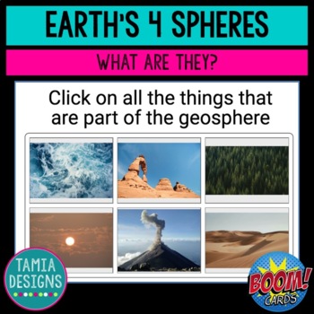
Four spheres of Earth - Boom Cards online no-print activity
A good introductory activity for NGSS.5-ESS2-1, this online, self-checking, activity starts by introducing the four spheres of Earth: geosphere, hydrosphere, atmosphere, and biosphere. Students then identify which sphere can be seen in a series of photos, answer multiple choice and fill-in-the-gap questions based on the information they've been given, as well as stretch their vocabulary by identifying the meanings of other words using the same prefixes. Far more colorful and engaging than a phot
Subjects:
Grades:
5th
NGSS:
5-ESS2-1
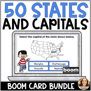
US States and Capitals Boom Cards - All 50 States - Digital Test Prep Activity
These NO PREP Boom Cards will help students practice naming and memorizing the states and capitals of all 50 states. Each card has the state colored in and labeled within the United States map to help students learn the location as well. Boom Cards are my favorite resource for independent practice, test prep, and whole group review. Students love them too. They never complain about having to do Boom Cards! Try a small sample❤️HERE❤️and see why everyone LOVES Boom Cards!Boom Cards are self-checki
Subjects:
Grades:
3rd - 5th
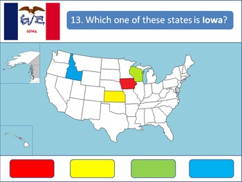
Powerpoint Game: United States Geography
A 50-question, interactive quiz to test your students' knowledge on the fifty states of the United States of America. Simply click on the corresponding color to make your guess! Each of the state's respective flags are shown for additional learning about the USA.This product is designed specifically to be engaging for your students. Your students will love the fun sound effects and the opportunity to get up and walk around in order to tap the on-screen buttons.This product is best used with a Pr
Grades:
4th - 12th, Higher Education
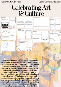
Family Culture Project: Activities, Resources, Google Slides and Lessons
The Family Culture Project offers an engaging exploration of students' ancestral roots, inviting them to delve into the rich tapestry of their family histories and original countries. Through interactive activities and research, elementary and middle school participants embark on a journey of discovery, celebrating cultural diversity and fostering a deeper understanding of their heritage. With hands-on projects and presentations, students not only learn about their own backgrounds but also gain
Subjects:
Grades:
1st - 8th
Types:
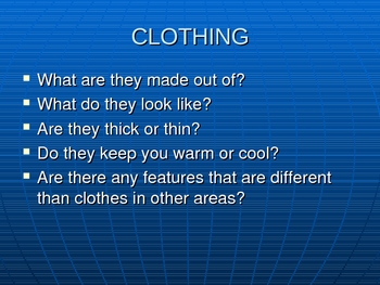
Ways People Adapt to Their Environments
Sixteen slide powerpoint detailing how people adapt to their environments. Covers homes, clothing, and transportation. Shows enviroments such as the desert, tundra, and rainforest. Colorful pictures that will engage the students.
Grades:
K - 8th
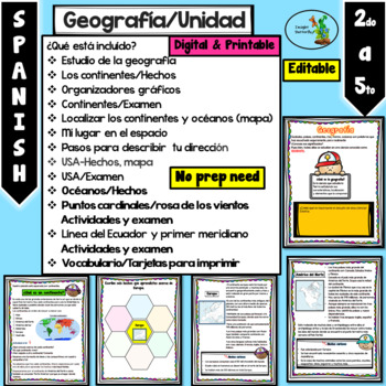
Mi planeta Continentes Oceanos Rosa de los vientos Primer Meridiano Editable
Cuando descargue el documento va a encontrar diferentes PowerPoints y un PDF:1- Editable y PDF (hojas de trabajo) listas para imprimir.2- No editable sin que puedan mover las imágenes3- Totalmente editable (para que lo ajuste a sus necesidades).¿Qué está incluído?Estudio de la geografíaLos continentes/HechosOrganizadores gráficosContinentes/ExamenLocalizar los continentes y océanos (mapa)Mi lugar en el espacioPasos para describir tu direcciónUSA-Hechos, mapaUSA/ExamenOcéanos/HechosPuntos cardin
Grades:
2nd - 4th
SC Regions Unit: Powerpoint, plans, exit slips, homework, study guide, and test
UNIT 2: SOUTH CAROLINA REGIONS
**Now includes both PowerPoint and SmartBoard formats!**
The SC Regions Unit is a comprehensive eight-day (approximately 45 minutes per day) instructional unit focused on the six regions of South Carolina. This package includes:
SC Regions Unit Lesson Plans
**Written in Explicit Direct Instruction (EDI) format. Each day includes a Learning Objective, Activating Prior Knowledge (APK) activity, Mini Lesson, Guided Practice activity, Independent Practice
Subjects:
Grades:
3rd
Using Geocaching to Illustrate Latitude and Longitude in the Classroom
Get your students moving and actually applying latitude and longitude through geocaching. Incorporating GPS technology, computer websites, and basic geography, this lesson gets students excited about learning geography, maps, and the new game of geocaching. This lesson was used with fourth grade students but can be adapted for middle school and high school students as well. This lesson also ties in well with space history, science and satellites technology. by Susan R. Wagner
Using Geocaching t
Subjects:
Grades:
4th - 8th
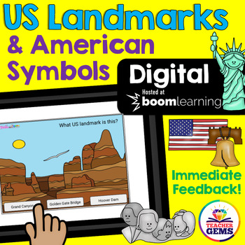
US Landmarks and American Symbols Digital Boom Cards™ Distance Learning
Students will learn to identify famous US landmarks and American Symbols with these fun interactive digital Boom Cards™. Students are given three pictures and asked to identify the correct landmark or symbol. There are 24 boom cards included in this product.Also included in this download is a "Getting Started with Boom Cards Quick Guide Tutorial" that will walk you through how to set up an account, how to set up a classroom, how to assign decks to students, how to play decks and how to monitor s
Grades:
3rd - 5th
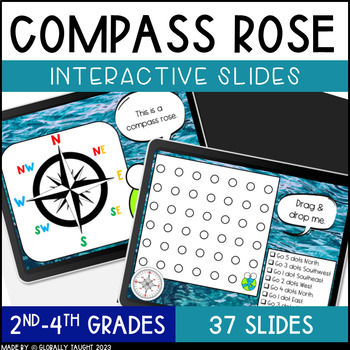
Digital Compass Rose Activities with Cardinal and Intermediate Directions Game
Explore the Compass Rose, Cardinal Directions, and Intermediate Directions with this ENGAGING and INTERACTIVE digital lesson. Practice using a compass with fun activities. These digital slides include short readings, engaging videos, and interactive activities for a highly-engaging lesson on the Compass Rose.Try the Seasons & Hemispheres Digital Slides too!Product Details:37 Interactive SlidesAuthentic Images and Examples of Compasses Quick Interactive Learning Checks (Turn & Talks, Dra
Grades:
1st - 3rd
Also included in: Geography Digital Slides Bundle - Compass and Hemispheres Google Slides
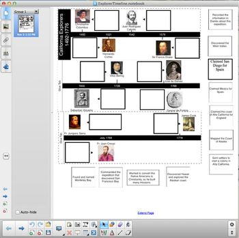
California Explorers Timeline
This hand-out is a cut and paste activity. It covers CA History standards 4.2.2 and 4.2.3. Students cut out descriptions of various European explorers and paste them into a timeline. Explorers include: Christopher Columbus, Hernado Cortes, Juan Rodriguez Cabrillo, Sir Francis Drake, Sebastian Vizcaino, Vitus Bering, Gaspar de Portola, Junipero Serra, and James Cook.
Included with download is a PDF for the cut and paste activity and a Notebook file that can be displayed using a projector or a
Subjects:
Grades:
3rd - 5th
Livin’ La Vida Latina – Fun Facts about Spain Presentation in English
This 45 slide Spain Fun Facts Power Point in English is perfect for incorporating culture into your daily lessons. This best seller Spain presentation can be used as a virtual field trip, as daily warm-up activities or as a complete Spain unit. All of the Livin' La Vida Fun Facts presentations inspire students to make cultural comparisons and to think about dispelling cultural stereotypes. Use this presentation all at once to focus on Spain in a few mini lessons or for one complete Spain unit
Subjects:
Grades:
7th - 12th
Volcanoes PowerPoint - All About Volcanos Writing Activity and Easel Assessment
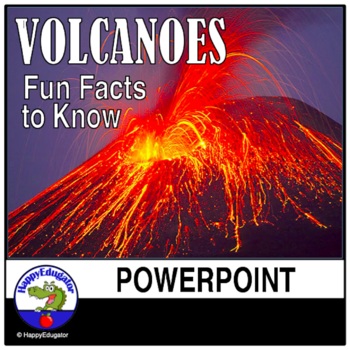
Students will enjoy learning about volcanoes with this 30-slide animated PowerPoint. Informative text on volcano types and shapes, how and what is an eruption, how eruptions are measured, the difference between lava and magma, fun facts, famous volcanos, types of igneous rocks, and a vocabulary terms to know reference sheet. Includes photos of volcanos like Mt. Rainier and Mt. Kilauea, which help students understand the difference between a stratovolcano and a shield volcano. Includes a video l
Subjects:
Grades:
3rd - 6th
Southeast Region Digital Boom Cards
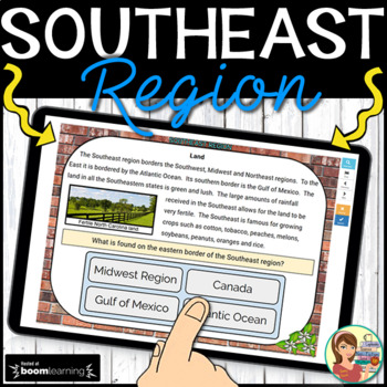
These 38 interactive digital task cards on the BOOM Learning website cover the twelve states in the Southeast region of the United States. WHAT IS INCLUDED? Students label the states using a drag and drop map. Non-fiction informational text cards explore the region’s history, climate, land, economy, natural resources and landmarks with reading comprehension questions using multiple choice answers. (12 cards) Students name each state's capital with multiple choice options. (12 cards) Student
Grades:
3rd - 5th
CCSS:
Also included in: 5 U.S. Regions Digital Boom Cards BUNDLE
Canadian Geography Trivia Game
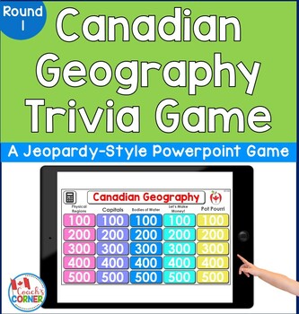
Do you need to get your students excited while learning about Canadian provinces, territories, and regions? This 25-question trivia activity is a Jeopardy-style game that lets students work in up to 5 teams as they demonstrate their knowledge of the geography of Canada! Note: This is a PowerPoint activity.How Resource Can Be Used:whole class activityindependent review activityopening activity to your Canada unitreview activity at end of your Canada unitGame Categories:Physical RegionsCapital
Subjects:
Grades:
4th - 7th
Introduction to biomes Powerpoint activity
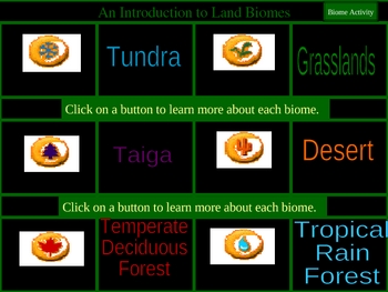
This 32 slide highly interactive PowerPoint on biomes has bright glossy full pictures and is designed to be done whole class with or without an interactive whiteboard, or independently. This covers Tundra, grasslands, taiga, desert, temperate forest, and tropical rainforest.
This Power Point is part of my huge interactive PowerPoint product CD that includes 23 of the most important topics in Elementary science!
Check it out here!
By PowerPoint Maniac
*****************************************
Subjects:
Grades:
1st - 6th
Also included in: Ultimate Elementary Science PowerPoint Resource bundle
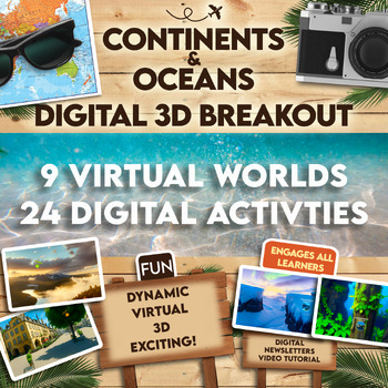
Continents and Oceans 360 VR Digital Escape Room/Breakout
Engage your students in an interactive 360° VR Digital Breakout to delve into the fascinating realms of continents and oceans without any extra work on your part! With 9 virtual worlds to navigate and 24 stimulating digital activities, students will grasp the concepts of the seven continents and five oceans in an exciting new way.⭐⭐ Don't miss out on exclusive deals! Follow me to get notified about my newest products and receive a 50% discount on all new items for 24 hours.⏩️ PLEASE TEST THE LI
Grades:
4th - 8th
Types:
Also included in: Escape Room, Breakout - All Digital Bundle 360 Virtual Reality!
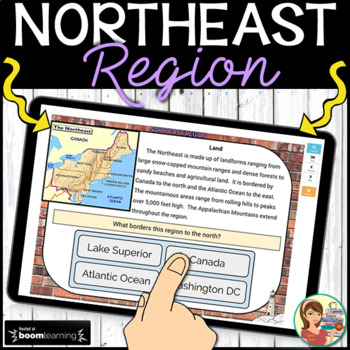
Northeast Region Digital Boom Cards
These 37 interactive digital task cards on the BOOM Learning website cover the eleven states in the Northeast region of the United States. WHAT IS INCLUDED? Students label the states using a drag and drop map. Non-fiction informational text cards explore the region’s history, climate, land, economy, natural resources and landmarks with reading comprehension questions using multiple choice answers. (13 cards) Students name each state's capital with multiple choice options. (11 cards) Student
Grades:
3rd - 5th
CCSS:
Also included in: 5 U.S. Regions Digital Boom Cards BUNDLE
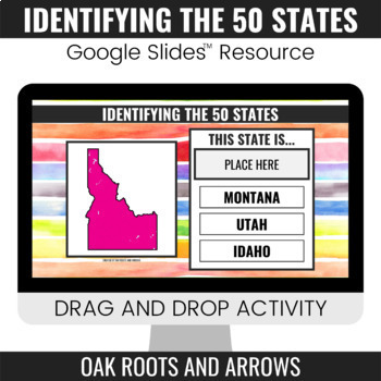
Identifying the 50 States : Google Slides™ Drag and Drop Activity
This product is a Google Slides™ resource. Students will drag and drop the correct state name to the box that says, "PLACE HERE." Each slide displays a different state and three options for students to choose from.You can assign this resource as an assignment to your students in your Google Classroom™. Students will complete the drag and drop activity and then turn it in through Google Classroom™. You will receive a ZIP file that includes a PDF file. There is a clickable link to the Google Slide
Grades:
3rd - 12th
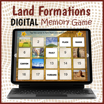
Digital Landforms Game - Land Formations Matching Game
Your kiddos will love trying to remember and match the different land formations to their name in this challenging and fun interactive memory game. There are two versions of the game to choose from, one with 10 pairs of landforms to match and the other with 15 pairs. There is also an option for playing with one player or two players or teams. When playing alone, a clock is provided, and the number of card turns is tracked.This digital resource integrates seamlessly with your Google Classroom if
Subjects:
Grades:
4th - 7th
Types:
Also included in: Geography Landforms Bundle
Showing 1-24 of 710 results


