53 results
Kindergarten geography resources for Easel Assessments and for homeschool
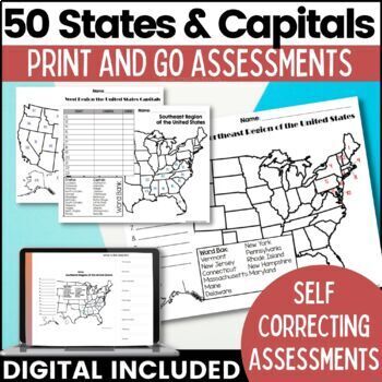
50 States and Capitals Map Activities Print & Digital Resource
Help your students learn and remember the 50 United States and Capitals. This product breaks the 50 states into five regions to make learning easier to manage and teach. United States maps are included with printable assessments, self correcting digital assessment and digital practice worksheets.Update! Easel Digital Version is Included (updated 7/2022)Self Correcting Assessments and Easy to Assign!Save $$$ when you buy as a bundle:The United States and Capitals Geography Review Activities and A
Grades:
3rd - 5th
Types:
Also included in: 50 States and Capitals Bundle Map Print & Digital Resource 50% OFF
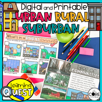
Types of Communities - Urban, Suburban, Rural Communities
These digital Types of Communities activities are easy to use as traditional classroom lesson plans, centers, homework, independent work, or they’re great for fast finishers in first and second grades. Busy teachers love these low-prep lessons and activities that are sure to engage their students! With print & digital options, Learning Quests provide a balance of face to face and device-based learning styles for your modern classroom.Why do teachers and students love our Learning Quests?We a
Subjects:
Grades:
1st - 2nd
Types:
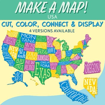
Interactive Bulletin Board United States Map Activity
Transform your classroom into a vibrant learning space with this Interactive Bulletin Board United States Map Activity. This engaging project invites students to actively participate in constructing a colossal wall map of the USA, fostering a collaborative and hands-on approach to learning United States geography. Assign each student a state and watch as the United States comes together, state by state, on your bulletin board! The finished map is an impressive 73 inches in length and 55 inches i
Grades:
4th - 7th
Also included in: USA Geography MEGA Bundle
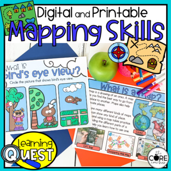
Map Skills Activities - Print & Digital Map Skills Lessons
These digital Mapping Skills activities are easy to use as traditional classroom lesson plans, centers, homework, independent work, or they’re great for fast finishers in first and second grades. Busy teachers love these low-prep lessons and activities that are sure to engage their students! With print & digital options, Learning Quests provide a balance of face to face and device-based learning styles for your modern classroom.Why do teachers and students love our Learning Quests?We all kno
Subjects:
Grades:
1st - 2nd
Types:
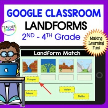
LANDFORMS & BODIES OF WATER 3rd 4th GRADE Google Slides EASEL Geography Activity
Students stay highly engaged as they learn to identify 24 landforms, bodies of water & define geography vocabulary using Google Slides. Each page includes a photo of the landform or body of water along with the title & description in simple, clear language. This resource also allows you to assess skills with a multiple-choice landform quiz. Use these Landform and Bodies of Water Google Slides to add fun to your social studies lessons now! Landforms: Archipelago, Bay, Butte, Canyon, Cav
Grades:
2nd - 4th
Types:
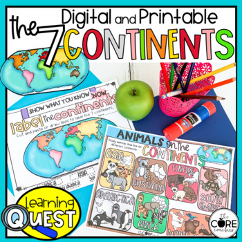
7 Continents Activities - Print & Digital Continent Lessons
These digital Seven Continents activities are easy to use as traditional classroom lesson plans, centers, homework, independent work, or they’re great for fast finishers in first and second grades. Busy teachers love these low-prep lessons and activities that are sure to engage their students! With print & digital options, Learning Quests provide a balance of face to face and device-based learning styles for your modern classroom.Why do teachers and students love our Learning Quests?We all k
Subjects:
Grades:
1st - 2nd
Types:
Continents and Oceans Geography Interactive PowerPoint and Mini Book with Easel
Continents and Oceans PowerPoint. Useful for studying the seven continents of the Earth and the five oceans in your geography or Social Studies classes. Includes examples of some major features of each continent of the world and some animals that are unique to each. Students will also see a visual about the equator and the hemispheres of the planet. Great supplemental activity for Earth Day, too. Has l interactive review slides and a printable for students to follow along. There are two Easel As
Subjects:
Grades:
1st - 4th
CCSS:
Also included in: Earth Day Activities Bundle
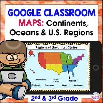
Map Skills US REGIONS CONTINENTS & OCEANS Google Slides & EASEL
Review map skills, 7 continents, identify world oceans & U.S. Regions: Northeast, Southeast, Midwest, Southwest & West using Google Slides. Interactive activities are great for all levels of learning. Use this with your smart board or for individual devices. Includes an Easel Activity! (33 Google Slides, 21 EASEL pages & 60 EASEL Questions)The Google Slide Access link contains 33 slides and 60 Question Easel Assessment:- Continent slides: with labels, without labels & drag the l
Grades:
2nd - 4th
Types:
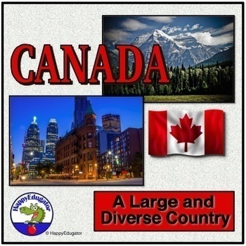
Canada PowerPoint - Overview of the Country's Geography, History, and Economy
Canada PowerPoint. Information on Canada's geography, environmental issues, trade, Canadian Shield, Government, Provinces, Territories, and History. Includes slides on: Canada Day (celebrated on July 1), Acid rain in the Great Lakes region, trade, natural resources, federation under a constitutional monarchy, provinces, history -John Cabot, Samuel de Champlain, the French and Indian War, Canada's Independence, Quebec Politics. Lots of information to use to supplement your unit on the study of t
Grades:
4th - 7th
CCSS:
Also included in: Geography PowerPoint Bundle with Christmas and New Year Around the World
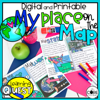
My Place on the Map - Me on the Map - Mapping Skills- Print and Digital
These digital My Place on the Map activities are easy to use as traditional classroom lesson plans, centers, homework, independent work, or they’re great for fast finishers in first and second grades. Busy teachers love these low-prep lessons and activities that are sure to engage their students! With print & digital options, Learning Quests provide a balance of face to face and device-based learning styles for your modern classroom.Why do teachers and students love our Learning Quests?We al
Subjects:
Grades:
1st - 2nd
Types:
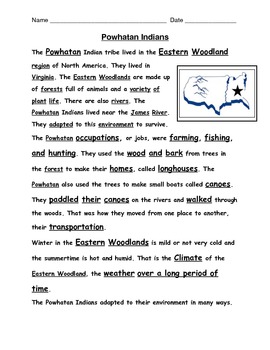
American Indian reading passages with questions
Reading passages for VA 2nd grade Social Studies SOL 2.2, 2.4 on American Indian Tribes: Powhatan, Lakota, and Pueblo all included here. 1 passage and 1 comprehension question page for each tribe. S.S. terms imbedded in text too. Up to date and aligned with VA SOL assessment language.
Grades:
2nd - 3rd
Types:
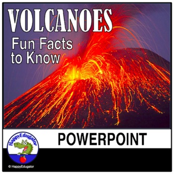
Volcanoes PowerPoint - All About Volcanos Writing Activity and Easel Assessment
Students will enjoy learning about volcanoes with this 30-slide animated PowerPoint. Informative text on volcano types and shapes, how and what is an eruption, how eruptions are measured, the difference between lava and magma, fun facts, famous volcanos, types of igneous rocks, and a vocabulary terms to know reference sheet. Includes photos of volcanos like Mt. Rainier and Mt. Kilauea, which help students understand the difference between a stratovolcano and a shield volcano. Includes a video l
Subjects:
Grades:
3rd - 6th
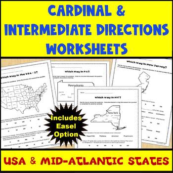
Map Skills Cardinal and Intermediate Directions Mid Atlantic States Worksheets
Do you need a way for your students to practice using maps to identify directions (both cardinal and intermediate)? If so, this set of 5 worksheets (and Easel assessment option) covering the United States and the Mid-Atlantic states of Pennsylvania, New York, and New Jersey can help. Each worksheet has 4-5 questions for students to answer using the map provided on the worksheet. There are 2 USA maps and one each for Pennsylvania, New York, and New Jersey. All of the questions are also provided
Subjects:
Grades:
2nd - 4th
Types:
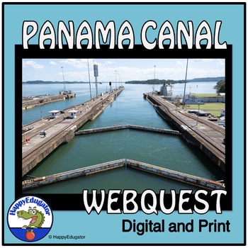
Panama Canal Study Questions Webquest with Digital Easel Activity and Assessment
Explore the Panama Canal with this webquest! Students answer 10 fundamental questions about its location, climate, demographics, and resources. They can complete it as a webquest or conduct independent research. The resource includes an answer key for class discussions. Ideal for homework, homeschool, remote learning, and independent study. 2024 is the hundred and tenth birthday of the Panama Canal. Printable and Digital Resource: Includes an Easel Activity ready for learning with digital tools
Grades:
5th - 8th
Types:
CCSS:
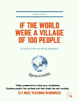
If The World Were A Village Of 100 People. Global Issues. PPTx. Quiz.
Students watch a classic video or view the pptx highlighting statistics about the world we live in. (Not the David Smith 25min DVD which is copyrighted). 1. Students discuss in groups and fill in, guessing what the statistics are for the world. Explain the concept of "If the world were a village of 100 people". 2. Students fill in pie charts with their own categories and guesses. Share thoughts. 3. Students watch the video. Click play. They record the correct answers and check their guesses. If
Subjects:
Grades:
5th - 12th, Higher Education, Adult Education
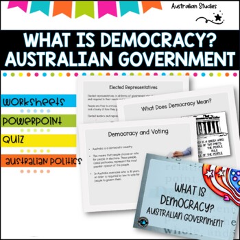
Australian Democracy and levels of government.
What is democracy?AimI can describe the main features of a democracy and discuss the rights and responsibilities of citizens in AustraliaLearning IntentionsTo learn about the different levels of government used to maked decisions and laws in AustraliaWhat is the system of Government in AUSTRALIA?Basic rightsWho rules Australia?What does democracy mean?Democracy and votingYoung people and democracyMain political partiesVotingElected representativesLevels of GovernmentLaw and orderWhat is included
Grades:
4th - 6th, Staff
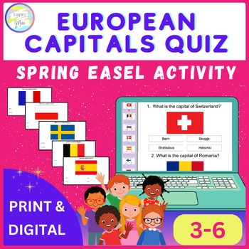
European Capitals Quiz | Spring Easel Activity
Whether used as a standalone activity, a supplement to classroom instruction, or as part of a distance learning curriculum, the European Capitals Quiz Easel Activity offers unparalleled versatility and educational value.Help your students discover Europe's capital cities using this fun and engaging tool, encouraging them to understand and respect different cultures around the world.The countries included in this quiz are: - Switzerland- Romania- Slovenia- Denmark- Spain- Finland- Hungary- Czech
Grades:
4th - 7th
Types:
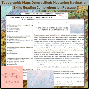
Topographic Maps Demystified: Mastering Navigation Skills Reading Comprehension
Topographic Maps Demystified: Mastering Navigation Skills Reading Comprehension PassageUnlock the secrets of topographic maps with our comprehensive resource, "Topographic Maps Demystified: Mastering Navigation Skills." This engaging package equips students with the knowledge and confidence needed to interpret and navigate through diverse terrains.Key Features:Informative Reading Passage: Dive into a rich reading passage that meticulously breaks down the fundamentals of reading topographic maps.
Subjects:
Grades:
3rd - 9th
Types:
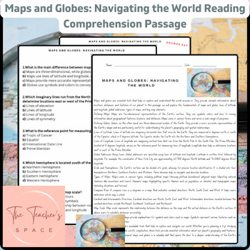
Maps and Globes: Navigating the World Reading Comprehension Passage
Maps and Globes: Navigating the World Reading Comprehension PassageEmbark on a captivating journey of geographical exploration with our "Maps and Globes: Navigating the World" educational bundle, designed to engage and enlighten students. This comprehensive resource offers a deep dive into the fascinating world of maps and globes, equipping learners with essential knowledge about navigation, geography, and spatial understanding.Inside this pack, you'll find:1. Informative Reading Passage: Unlock
Grades:
4th - 6th
Types:
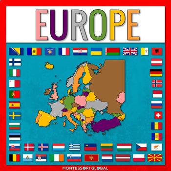
European Countries
European Countries with Capitals is a Montessori-inspired product to help learn about the countries of Europe and their capitals, as well as flags for European countries. INCLUDED:53 sets of Montessori 3 Part Cards and control cards, including the countries of Europe and their capitals as well as flags for European countries1 x Unlabelled Map of Europe in the colors of the Montessori Puzzle Maps1 x Labelled Map of Europe in the colors of the Montessori Puzzle Maps1 x World Map in the colors of
Subjects:
Grades:
2nd - 3rd
Types:
Also included in: Montessori Countries and Flags of the World
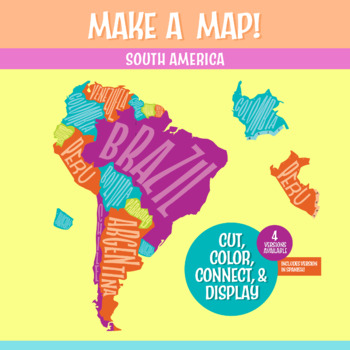
South America Geography Activity | Interactive Bulletin Board Continent Project
A South America map that you build as a giant wall map! This is a fantastic method to learn the South American countries. Both English and Spanish versions are included. When finished, you'll have a gorgeous map on display, clearly showing the South America countries. Your students can research a South American country, decorate each country, assemble the South American continent on your bulletin board or wall, and they will be all ready for a geography quiz.The finished map is HUGE: the contigu
Subjects:
Grades:
6th - 9th
CCSS:
NGSS:
MS-ESS2-3
, MS-LS2-2
, MS-ESS2-2
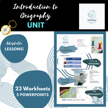
Introduction to Geography unit/module
This module covers the key topics of maps, continents, countries, compass skills, latitude and longitude, and different types of geography. I'll also include engaging hands-on activities like map making, recalls, coordinates, map labelling, reflections and word fills to make the lessons interactive and memorable for students.Firstly , we'll explore different types of geography, such as human geography, physical geography, and cultural geography. Students will engage in hands-on activities like m
Subjects:
Grades:
7th - 10th, Staff
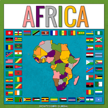
Countries of the African Continent
Countries of the African Continent is a Montessori-inspired product to help learn about the countries of Africa and their capitals, as well as flags for African countries. INCLUDED:53 sets of Montessori 3 Part Cards and control cards, including the countries of Africa and their capitals as well as flags for African countries1 x Unlabelled Map of Africa in the colors of the Montessori Puzzle Maps1 x Labelled Map of Africa in the colors of the Montessori Puzzle Maps1 x World Map in the colors of
Subjects:
Grades:
2nd - 3rd
Types:
Also included in: Montessori Countries and Flags of the World
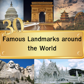
30 Famous Landmarks around the World Quiz with For grade 3-8 and homeschool
In this quiz featuring 30 famous landmarks from around the world, students will examine images of these landmarks and select their answers from a set of four multiple-choice options. Once they've made their choice and clicked "next," the correct answers will be revealed. This quiz serves as an educational tool to expand their understanding of global landmarks. It can be used effectively as either a warm-up activity at the start of the class or as a lesson review.Please note that this digital pro
Grades:
3rd - 8th
Types:
Showing 1-24 of 53 results


