73,000+ results
9th grade world history independent works
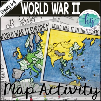
World War II (World War 2) Map & Geography Activity for Europe & the Pacific
These World War II in Europe and World War 2 in the Pacific maps will help students become more familiar with the nations of Europe and those in the Pacific during World War II by identifying which countries belonged to the Allies, which ones joined the Axis, which ones were controlled by the Axis Powers, and which ones remained neutral. On the World War II in Europe map, students will also label the Maginot Line, the Battle of Dunkirk, the Battle of Britain, the Battle of Stalingrad, the Battl
Subjects:
Grades:
6th - 11th
Types:
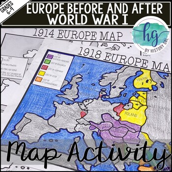
World War I Map Activity Lesson (1914 & 1918 Europe Maps)Print &Digital Resource
These 1914 and 1918 Europe Map worksheets will help students understand the effects of World War I on the European map. They will also help students become more familiar with the nations of Europe during World War 1 by identifying which European countries belonged to the Allies, which ones joined the Central Powers, and which ones remained neutral. Additionally, students will be able to identify the new nations that were created after World War I and which nations lost territory after the war.Wh
Subjects:
Grades:
6th - 10th
Types:
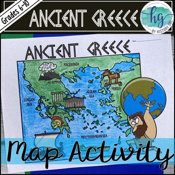
Ancient Greece Geography Map Activity (Print and Digital Resource)
This activity will help students better understand the geography of Greece and its impact on Ancient Greek civilizations. They will label and color the blank map version and then answer a few questions. Alternatively, students can just color on the coloring page version. It's a great way to incorporate geography in your lesson.What's included with the Printed Versions:*Ancient Greece map for students to label, color, and answer 10 questions (1 page map, 1 page directions/questions, uneditable pd
Grades:
6th - 10th
Types:
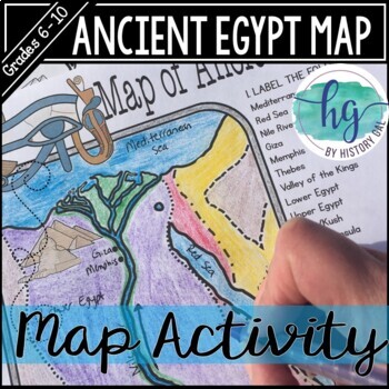
Ancient Egypt Map Activity (Print and Digital Resource)
Students will learn about important places in the Ancient Egypt civilization as they label and color a map. It's also a great way to incorporate geography in your lesson.What's included with the printed version:Blank Ancient Egypt map for students to label and color (1 page, uneditable pdf)Map Key (1 page, uneditable pdf)Ancient Egypt map for students to just color (1 page, uneditable pdf)Informational Reading (1 page, uneditable pdf) Animated PowerPoint shows each location and the key - perfect
Subjects:
Grades:
6th - 10th
Types:
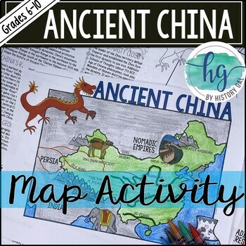
Ancient China Map Activity Lesson (Print and Digital Resource)
This activity will help students better understand the geography of Ancient China. They will label and color the blank map version and answer a few questions. Alternatively, students can just color on the coloring page version. It's a great way to incorporate geography in your lesson.What's included with the printed versions:*Blank Ancient China map for students to label, color, and answer questions (1 page map, 1 page directions, uneditable pdf)*Blank Ancient China map for students to label, co
Grades:
6th - 10th
Types:
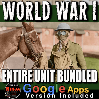
World War 1 Unit: WW1 PPTs, Guided Notes, Worksheets, Plans, Test + Google Apps
World War I Unit Bundled covers the the atmosphere in Europe leading up the assassination of Archduke Franz Ferdinand, World War 1, and finishes with the Treaty of Versailles and its contribution to World War II. This unit includes World War 1 PowerPoints with video clips and presenter notes. Unit also includes, warm up PowerPoints, informational text documents, including timeline with questions, primary source documents, exit tickets, crossword review, Kahoot review game, and editable assessmen
Grades:
7th - 12th, Adult Education
Types:
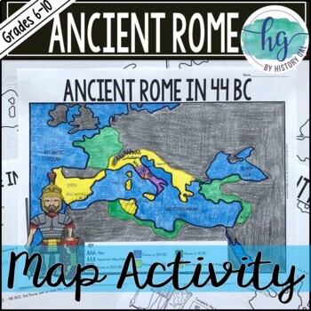
Ancient Rome to 44 BCE Map Activity (Print and Digital)
Students will label and color a map of Ancient Rome in 44 BC/BCE to better understand the expansion of Roman power. Students will also answer 6 questions about the map. What's Included with the print versions:*Blank map with 6 questions for students to answer (2 pages, BC and BCE versions included, uneditable pdf)*Blank map without questions (1 1/2 pages, BC and BCE versions included, uneditable pdf)*Map for students to just color (1 page, BC and BCE versions included, uneditable pdf)*Answer key
Subjects:
Grades:
6th - 9th
Types:
Ancient Egypt Hieroglyphics Escape Room Activity | Engaging Crack the Code Game
In this Ancient Egypt Escape Room activity, students are introduced to ancient Egyptian hieroglyphics and are placed in the shoes of investigators as they seek to crack a mysterious code left behind by the ancient Egyptians. Student investigative teams have one class period to solve four clues, each written in hieroglyphics, then complete the final formula to crack the code. Students only have a set number of attempts to open the lock before the ancient lock deteriorates and remains jammed for
Grades:
5th - 9th
Types:
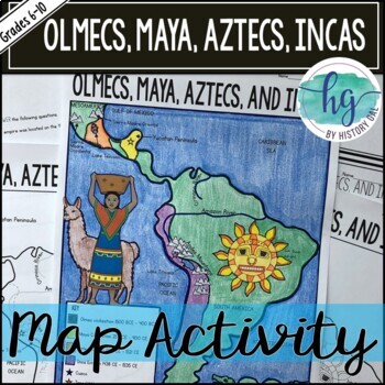
Mesoamerica (Olmecs, Maya, Aztecs) and Incas Map Activity - print & digital
Students will label and color a map to help them visualize and retain the location of the Olmecs, Maya, Aztecs, and Incas in Mesoamerica and South America. They will also label bodies of water and mountain ranges as well as use the map to answer 5 questions. What's Included with the Printed Map:*Blank map with 5 questions for students to answer (2 pages, uneditable pdf)*Blank map without questions (1 1/2 pages, uneditable pdf)*Map for students to just color (1 page, uneditable pdf)*Answer key fo
Subjects:
Grades:
6th - 9th
Types:
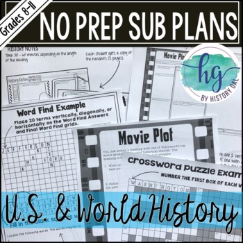
No Prep Emergency Sub Plans for any U.S. or World History Class Print & Digital
These No Prep Emergency Sub Plans are print and digital to make missing a class or a day/s easier for you. Just print and go or assign digitally! The substitute plans I've created for you will work at any time during the year for any U.S. or World History class. Print out a copy of the activities to put in your sub folder or save the digital versions in your Google Drive or One Drive. You'll never have to stress about leaving sub plans for substitutes again!Each activity includes an uneditable P
Subjects:
Grades:
8th - 12th
Types:
Ancient China Dynasties Activity | Han, Qin, Zhou, Shang, Tang in Ancient China
This engaging activity on Ancient China Dynasties teaches the major contributions of the Shang, Zhou, Qin, Shang, and Tang dynasties in an engaging and informative way. In this China resource, student groups work together to fill out a graphic organizer timeline that shows these major dynasties of Ancient China. This lesson includes student-friendly text for each of the dynasties and a large graphic organizer for their team to record their information! ☆ ☆ Get this engaging resource (and a hug
Grades:
5th - 9th
Types:
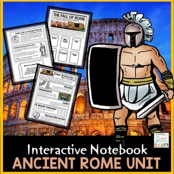
Ancient Rome Interactive Notebook | Roman Empire | Roman Republic | Punic Wars
{Paper & Digital Versions Included!}***Important Update - Now includes additional, colorful Digital Google Slides Version for Google Classroom! Designed for Distance LearningRome Unit for Interactive Social Studies Notebook!6th Grade Ancient Civilizations SeriesThis product contains interactive cut and paste learning material for students to create an organized social studies interactive notebook.This resource is part of the Ancient Civilizations (Entire) CurriculumAnswer Key IncludedTopics
Subjects:
Grades:
4th - 9th
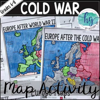
Cold War Map Activity for Europe Before & After the Cold War (Print and Digital)
These two maps will help students become more familiar with Europe during and after the Cold War. Students will identify nations that belonged to NATO, the Warsaw Pact, and which ones remained neutral. In addition students will learn how the map of Europe changed after the Cold War ended. What's Included with the Print Versions:*Blank Europe After World War II map with questions for students to answer (2 pages)*Blank Europe After World War II map without questions (1 1/2 pages) *Coloring Page fo
Subjects:
Grades:
7th - 10th
Types:
Also included in: American History Map Activities Bundle for U.S. History Units & Lessons
Navajo Code Talker + World War 2 Escape Room Challenge Activity
Navajo Code Talker Crack the Code Activity | Crack the Navajo Code that won WW2!This version is designed for the traditional classroom. You can find the version that is optimized for the digital, distance learning classroom here.In this 100% fun and engaging code-cracking breakout activity, students are introduced to the secret Navajo Code developed by the Navajo Code Talkers in World War II that was used to transmit messages while evading enemy detention. Enjoy this historical cipher activity!S
Grades:
6th - 10th
Types:
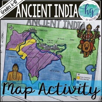
Ancient India Map Activity (Indus Civilizations, Maurya & Gupta Empire)
Students will label and color a map to help them visualize and retain the location of the Indus Civilizations, Maurya Empire, and Gupta Empire as well as key geographical features such as the Brahmaputra, Ganges, and Indus Rivers; Eastern and Western Ghats; Himalayas; Hindu Kush, and more. Students will also use the map to answer 5 questions. What's Included with the printed versions:*Blank map with 5 questions for students to answer (2 pages, uneditable pdf)*Blank map without questions (1 1/2 p
Subjects:
Grades:
6th - 9th
Types:
Also included in: Ancient India Bundle
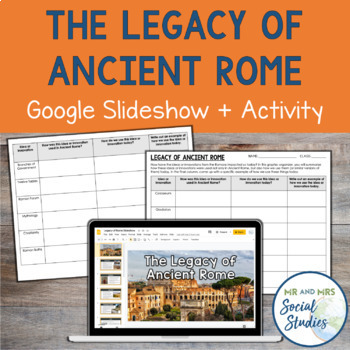
The Legacy of Ancient Rome Google Slideshow and Activity
Help your students understand the impact and legacy of Ancient Rome with this printable and digital activity! This no-prep resource includes a detailed Google Slideshow that teaches about 12 different innovations of the Romans and an analysis activity that helps students make connections between Ancient Rome and modern society.To use this resource, begin by presenting the slideshow or sharing it with your students. Then, students will work on the corresponding graphic organizer. On the graphic o
Grades:
6th - 9th
Also included in: Ancient Rome Unit Bundle | Activities, Simulation, Notes, Timeline, Test
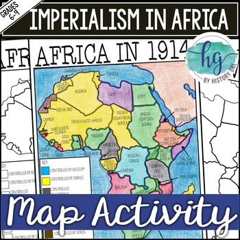
Imperialism in Africa Map Activity Lesson for World History (Print and Digital)
Students will learn about the scramble for Africa by labeling colonies and coloring the map to show which European nations controlled which colonies and which countries remained independent. Students will also answer 3 questions about the map.What's Included with the printed version:*Blank Africa in 1914 map with questions for students to answer (2 pages)*Blank Africa in 1914 map without questions (1 1/2 pages)*Coloring Page for Africa in 1914 map (1 page)*Answer key for map and questions (2 pa
Subjects:
Grades:
6th - 10th
Types:
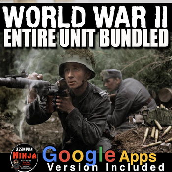
World War 2 Unit PPTs, Guided Notes, Worksheets, Kahoot, Test(WW2) + Google Apps
World War II Unit Includes World War 2 PowerPoint with Video Clips, primary source activities, timeline, video and video guided, crossword review, Kahoot review, and assessment all bound together with detailed daily lesson plans. Each lesson begins with a warm-up, and continues with PowerPoint notes, primary source document reading, informational text or timeline analysis, and an exit ticket. Unit also includes editable assessment-test/quiz, a writing exercise and crossword puzzle review. Everyt
Subjects:
Grades:
9th - 12th, Adult Education
Types:
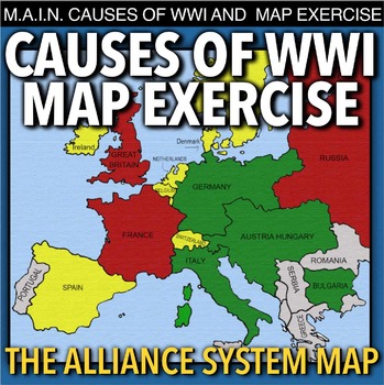
World War I Map Activity & MAIN Causes (WW1)
World War I Map Activity and MAIN Causes of WWI takes students to Europe 1914 to discuss the M.A.I.N. causes of World War 1(Militarism, Alliances, Imperialism and Nationalism). Then students learn about the alliance system through a map activity. No other maps from the book are needed, just thee colored pencils or crayons. This can be used in class or as homework as it’s a completely stand alone assignment. This is also perfect for substitute teacher plans. A key is included.*** A modified Goog
Subjects:
Grades:
7th - 12th
Types:

Industrial Revolution Unit: PPTs, Guided Notes, Worksheets, Test + GoogleApps
The Industrial Revolution Unit includes Industrial Revolution PowerPoints with video and presenter notes. Unit also includes, warm up PowerPoints, a timeline analysis activity, primary source lessons, exit tickets, crossword review, Kahoot! review game, video/video guide, and assessment, no book necessary. Everything is put together with detailed daily lesson plans. Just copy and paste into your lesson plans. There is much material in this bundle. It is an amazing deal! This Industrial Revoluti
Grades:
8th - 12th, Adult Education
Types:
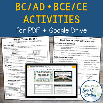
BC AD BCE CE Timeline Activity for Google Drive and PDF
If you are looking for a simple and effective way to teach BC AD and/or BCE CE to your students, you are in the right place! This no-prep resource for Google Drive + PDF not only teaches students about BC/AD + BCE/CE, but also gives them opportunity to practice!This resource includes:Teacher Guide (PDF)Student Handouts (Information Sheet + Worksheet, with answer keys)Editable Google SlideshowEditable Google Doc versions of the Student HandoutsSelf-Grading Google Forms (one version for BC/AD and
Grades:
6th - 9th
Types:
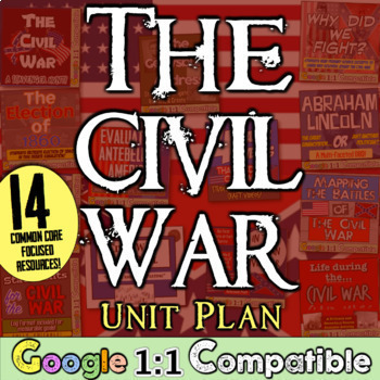
Civil War American US History Unit | 14 Engaging Civil War Activities Lessons
This Civil War Unit Plan bundle includes a ton of resources and activities to enhance your instruction on the American Civil War. This unit plan bundle includes the following 14 resources:✔ 1.) Causes of the Civil War Project | Engaging Civil War Project show buildup to War. Students create video projects to kick off the Civil War unit! Creativity is on display as students recreate the Dred Scott Case, John Brown's raid at Harper's Ferry, the Compromises of 1820 and 1850, or Bleeding Kansas (an
Grades:
6th - 9th
Types:
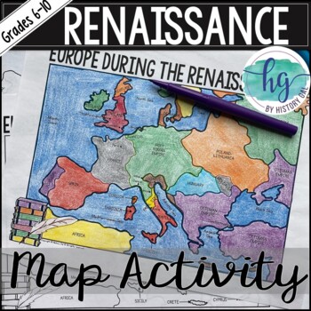
Renaissance Map Activity (Print and Digital)
Students will label and color a map of Europe during the Renaissance (around 1550) to better understand the geography of the time period. They will label main bodies of water, key cities, regions, and countries. They will also answer 3 questions about the map.What's Included:*Blank Map with questions for students to answer (2 pages; uneditable PDF)*Blank Map without questions (1 1/2 pages; uneditable PDF)*Coloring Page of Map (1 page; uneditable PDF)*Answer key for map and questions (2 pages; un
Subjects:
Grades:
6th - 10th
Types:
Native Americans Tribes and Regions | Student Matrix for Native American Regions
In this Native American tribes and regions lesson, students analyze the four major regions of Native Americans in North America. Students learn about Native Americans living in the Eastern Woodlands, the Plains, the Pacific Northwest, and the Desert Southwest! Students learn about the environment, the tribes who lived in each region, and their culture (housing, food, way of life, clothing, and religious beliefs). Finally, a graphic organizer is included for students to compile their learning o
Subjects:
Grades:
5th - 9th
Types:
Showing 1-24 of 73,000+ results


