206 results
7th grade geography graphic organizers for Microsoft PowerPoint
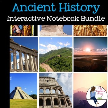
Ancient History Interactive Notebook Mega Bundle
This bundle includes all the Ancient History Interactive Notebooks currently available in The Teacher's Prep store!
ANSWER KEYS are included in each notebook!
**An editable vocabulary page has been added to this resource. It's in a PowerPoint file. Simply add in your own vocabulary words, print, and go!**
The bundle includes a wide variety of interactive notebook graphic organizers for each civilization in the bundle. This allows teachers to customize the activities for their own classrooms
Subjects:
Grades:
5th - 8th
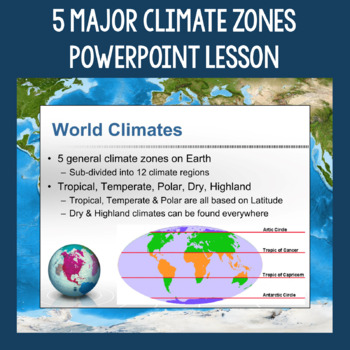
5 Major Climate Zones PowerPoint Slides | Chart and Mapping Activity
This Climate Zones Lesson and Activity includes a full PowerPoint presentation that address the characteristics, general locations, plants, animals, and specific location examples of the 5 major climate zones (polar, temperate, tropical, dry, highland). Students can fill out the included chart as you go over the presentation and a follow-up mapping activity puts their new knowledge of the climate zones to use. A filled out version of the chart, a blank version of the chart, and a blank map are a
Subjects:
Grades:
5th - 12th
Also included in: Geography Skills PowerPoint Lessons Bundle
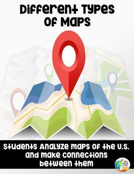
Analyzing and Comparing Different Types of Maps
Different Types of Maps The main goal of this lesson is for students to identify, analyze, and make connections between different types of mapsAlthough not necessary, having computers or Ipads available for students will allow them better view each map in full color. If this is not possible, the maps can still be projected onto a screen. A Powerpoint with each map is provided for this17 Slide PowerPoint comes with:Do NowInformational ChartClass NotesAssessment QuestionsActivity InstructionsConc
Grades:
5th - 10th
Also included in: Geography Unit Bundle
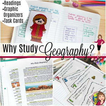
Why Study Geography? Activity on the 5 Themes of Geography
Geography is important! But do your kids think so? This is a great lesson to start off the year as you examine the topic “Why Study Geography?” This lesson begins by getting students out of their seat with a 4 Corner Debate. Your students will then take notes on pop-up expert as they study geography. The lesson concludes with task cards and a spectrum, where they have to defend their thinking. When you purchase this lesson, you will receive:-A detailed lesson plan-A reading on “Why Study Geograp
Grades:
6th - 9th
Also included in: GEOGRAPHY ACTIVITIES BUNDLE
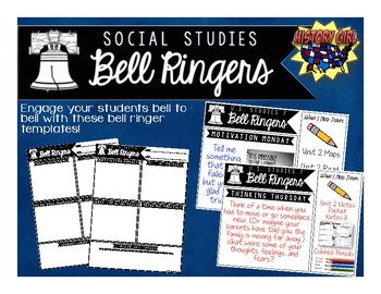
Bell Ringers for Social Studies
Engage your students bell to bell with these bell ringer templates specifically designed for your secondary social studies classroom!
Why use bell ringers?
• They provide a consistent routine as students
enter the classroom.
• They engage students in content from bell to bell.
• They allow students think time and opportunities to apply
new vocabulary and social studies skills.
• Non-Academic questions help build relationships and allow
students to share goals and their personal strengths.
• Allo
Grades:
5th - 12th
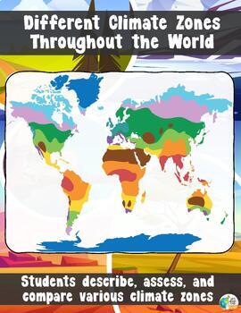
Climate Zones Throughout the World
Different Climate Zones Throughout the WorldThe main goal of this lesson is for students to describe, assess, and compare the characteristics of different climates zones throughout the worldThis lesson is a more detailed version of another climate zone lesson in my store. This lesson will go through 10 Climate types. If you want a simplified version that goes through 4/5 different climate zones – CLICK HERE!Want a webquest similar to this lesson? Click Here!You get a 21 slide PowerPoint with:A
Grades:
5th - 10th
Also included in: Geography Unit Bundle
Columbian Exchange and its Impact Flipped Classroom Lesson
This fantastic Columbian Exchange resource includes a PowerPoint, Google Slides, guided notes worksheet, and flipped classroom video and is perfect for your Age of Exploration Unit! The lesson covers all of the following aspects of the Columbian ExchangeCause and Effect of the Columbian ExchangeThe New World vs the Old WorldEuropean colonizationThe impact on diets, economics, culture, and indigenous groupsPeninsulares, Mestizos, and the class systemThe Triangle of TradeThe Middle Passage and Tra
Subjects:
Grades:
7th - 10th
Also included in: World History PowerPoint Bundle Part 2: Classical Asia - Enlightenment
Geography Unit Bundle
In this Geography Bundle you get 16 different lessons, activities, and resourcesAll resources have been update for distance learning! Students can complete and submit activities on any device using the fillable pdf files!The lessons/resources included are as follows:World Geography - Icebreaker WorksheetIntroduction to GeographyThe Different Branches of GeographyLatitude and LongitudeLongitude and Latitude Riddles US Latitude and Longitude WorksheetsWorld Landmarks - Latitude and Longitude How
Grades:
5th - 10th
Geography of Australia & Oceania Guided Notes
This set includes resources to teach about the geography of Australia, New Zealand, and the rest of Oceania. Topics included are location, climate, waterways, landforms, and much more. This set includes:- 4 page guided notes handout - Teacher answer key- 19 page editable PowerPoint slides for teachers to use to teach the geography of Australia, New Zealand, and the rest of Oceania to students as they fill out their guided notes.***If you enjoy this product, please leave a review & you can ea
Grades:
6th - 10th
Also included in: Australia & Oceania BUNDLE
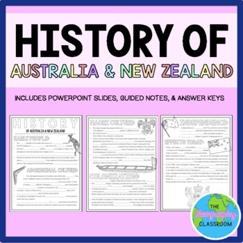
History of Australia & New Zealand Guided Notes (Aboriginal & Maori)
This set includes resources to teach about the history of Australia and New Zealand. It covers the early history of the countries, Aboriginal culture, Maori culture, British colonization, independence, and the effects that colonization has had on the native people today. This set includes:- 3 page guided notes handout- Teacher answer key- 14 page editable PowerPoint slides for teachers to use to teach the history of Australia and New Zealand to students as they fill out their guided notes.***If
Subjects:
Grades:
6th - 11th
Also included in: Australia & Oceania BUNDLE
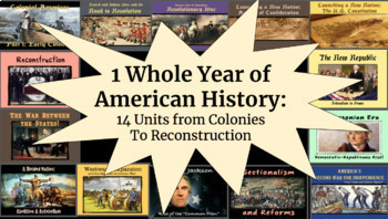
1 WHOLE YEAR of American History: Colonies to Reconstruction
Important: Please see the preview for an inventory of all products within the bundle, as well as which unit they belong to. With 100+ products within this bundle, this is the best way to keep organized!This bundle features a whole year's worth of PPT slideshows, notes packets, graphic organizers, maps, assignments, primary sources, activities, tests, etc. combined into an entire year-long package (in preparation for end-of-year testing). These include:Beginning of the Year U.S. Geography Project
Grades:
7th - 10th
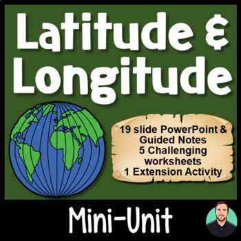
Latitude and Longitude - Engaging PowerPoint, Challenging Activities!
Latitude and Longitude - Engaging PowerPoint, Challenging Activities!This download contains one 19-slide PowerPoint file and three PDF files which are all geared towards keeping your students engaged, while also teaching your students how to use latitude and longitude. Includes:19-slide PowerPoint includes vocabulary words, an "I can" statement, memory tricks for recalling information later, brief history on the Prime Meridian, International Date Line, and the Equator, guided practice, and group
Subjects:
Grades:
4th - 8th

Geography, 4 Economic Industries Lesson and PowerPoint — Primary, Secondary, etc
This lesson is easy enough for 5th graders to understand yet works well with students up to grade 12. Modifications can be made as needed. Understanding the Four Economic Industries + Community Service ProjectThis cooperative learning economics industry and factor of production lesson addresses the four economic industries: Primary, Secondary, Tertiary, and quaternary Industries. A nation's economy can be divided into various sectors. Understanding these is important in understanding how our na
Grades:
6th - 12th
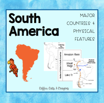
SOUTH AMERICA- Major Countries & Physical Features
Use this product with your students to introduce the major countries and physical features of South America.
The countries I have focused on in this product are the countries TN standards have listed that our 3rd grade students need to know!
Standards Covered...
3.33 Identify on a map major countries of the continent (Brazil, Colombia, and Peru,
Argentina). (G)
3.34 Identify major physical features of the continent (G):
• Rivers - Amazon
• Mountains - Andes
• Bodies of Water - Straits of Mage
Subjects:
Grades:
3rd - 8th
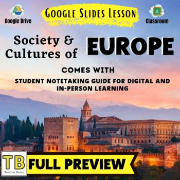
Society and Cultures of Europe Google Slides and Note Taking Guide
The Society and Cultures of Europe Google Slides lesson is a great way to teach students about Europe's cultural regions, religion, languages, ethnic groups, and more. The Google Slides purchase also comes with a student note-taking guide/graphic organizer (for print and digital learning) There is also a completed note-taking guide for teachers to use as a key, or to provide for their EL or IEP students. The following topics are covered:Regions of EuropeCultural regions of EuropeMediterraneanS
Grades:
7th - 12th
Also included in: BUNDLE: European World Geography
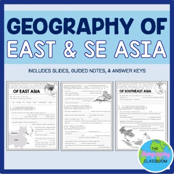
Geography of East and Southeast Asia Guided Notes
This set includes resources to teach the geography of East and Southeast Asia. This set includes:4 page guided notes handoutTeacher answer key17 page editable slides (available as PowerPoint and Google Slides) for teachers to use to teach the geography of east and southeast Asia to students as they fill out their guided notes.***If you enjoy this product, please leave a review & you can earn TPT credits for future purchases!
Subjects:
Grades:
6th - 12th
Also included in: East and Southeast Asia BUNDLE
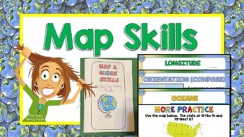
Map & Globe Skills, Continents and Oceans Distance Learning
I use this unit at the beginning of the school year as a refresher for my middle school students. This complete unit contains everything you need to teach/review map skills with your students. It can be used both in class or for distance learning. Bundle includes 61 slide presentation in Google Slides. At the end of the presentation are review questions. Also included is a template for a “book” that the students will use to take notes. It is great for interactive notebooks. A pre-assessment and
Grades:
3rd - 10th

Geography of Europe Guided Notes
This set includes resources to teach about the geography of Europe. Topics included are location, climate, waterways, landforms, and much more.This set includes:3 page guided notes handoutTeacher answer key12 page editable PowerPoint slides for teachers to use to teach the geography of Europe to students as they fill out their guided notes.***If you enjoy this product, please leave a review & you can earn TPT credits for future purchases!
Subjects:
Grades:
6th - 12th
Also included in: Europe BUNDLE
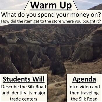
Traveling the Silk Road Simulation
Students will travel the Silk Road in your classroom by using the materials in this packet. This activity is a simulation, and your students’ actions will mirror how the Silk Road worked in real life. During their expedition, students will act as a caravan, exchange goods, complete a travel guide, (a graphic organizer), and learn about the great cities that dotted the Silk Road. Included is a description of eight Silk Road cities to post around your classroom, a blank graphic organizer, and a Po
Grades:
6th - 11th
CCSS:
Also included in: World History I Bundle
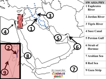
Georgia Social Studies 7th Grade Standard Maps
CHECK OUT THIS SUPER MONEY SAVER COMBO PACKhttp://www.teacherspayteachers.com/Product/Combo-Pack-Georgia-Social-Studies-6th-and-7th-Grade-Standard-Maps-692718This is a series of maps (answer keys and class presentation question pages) in PowerPoint format. The maps are specific to:Georgia StandardsSixth 7th GradeSocial StudiesPhysical FeaturesPolitical FeaturesAfrica, Southwest Asia (Middle East), Southern and Eastern AsiaThis will help teach the features and quiz whole class about the features
Grades:
5th - 8th, Staff
NEW! Geography — Regions Simplified: Formal, Functional & Perceptual Regions
Please Note: The instructor/teacher will need to know and understand the concept of REGIONS as this is a concept difficult for young brains to grasp. Even though we simplify it for students, we will need to be ready to verbally or visually explain the concept. Not all students are ready for this high-level concept. This lesson simplifies it as much as possible, but the concept, no matter how simplified, still requires high-level thinking skills and teacher guidance. It takes practice to identif
Grades:
7th - 11th, Higher Education, Adult Education
Politics and Economics of Europe Google Slides and Note Taking Guide
The Politics and Economics of Europe Google Slides lesson is a great way to teach students about Europe's political history, changes to political boundaries, the European Union, and more The Google Slides purchase also comes with a student note-taking guide/graphic organizer (for print and digital learning) There is also a completed note-taking guide for teachers to use as a key, or to provide for their EL or IEP students. The following topics are covered:Countries of EuropeTranscontinental co
Grades:
7th - 12th
Also included in: BUNDLE: European World Geography
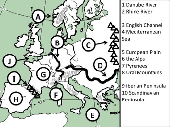
Georgia Social Studies 6th Grade Standard Maps
CHECK OUT THIS SUPER MONEY SAVER COMBO PACKhttp://www.teacherspayteachers.com/Product/Combo-Pack-Georgia-Social-Studies-6th-and-7th-Grade-Standard-Maps-692718This is a series of maps (answer keys and class presentation question pages) in PowerPoint format. The maps are specific to:Georgia StandardsSixth 6th GradeSocial StudiesPhysical FeaturesPolitical FeaturesEurope, Latin America, Canada, and AustraliaThis will help teach the features and quiz whole class about the features. This is GOOD stu
Grades:
5th - 8th, Staff
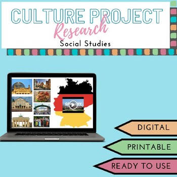
Culture Research Project: Travel Itinerary & Travel Blog
Need a Culture Project? Looking for a way to make researching a country fun? Need a creative Distance learning activity? Country Culture Project is designed for success in middle school or high school. This activity includes a wide range of topics for students to research such as, government, economy, traditional dance, Language, Food, Music, Religion, etc. This comprehensive project provides rigorous instruction allowing students to research and understand the country of their or the teachers c
Grades:
6th - 12th
Showing 1-24 of 206 results


