485 results
7th grade geography printables for Microsoft PowerPoint
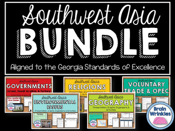
Southwest Asia (Middle East) Unit BUNDLE
This bundle contains the following Southwest Asia resource pack files – Geography of Southwest Asia, Environmental Issues, Where People Live and Work, Ethnic Groups, Prominent Religions, Governments: Israel, Saudi Arabia, and Turkey, Economies: Israel, Saudi Arabia, and Turkey, Voluntary Trade and OPEC, Factors of Economic Growth, Distribution of oil in SW Asia, Continuing Conflicts in the Middle East, Creation of Israel, and U.S. Presence in the Middle East. There are over 830 pages of notes,
Grades:
7th
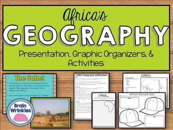
Geography of Africa (SS7G1)
This file is a resource pack about the major physical features in Africa: the Sahara, Sahel, savanna, tropical rain forest, Congo River, Niger River, Nile River, Lake Victoria, Great Rift Valley, Mt. Kilimanjaro, Atlas Mountains, and Kalahari Desert (as outlined by the Georgia Standard of Excellence – SS7G1). This lesson includes a presentation with important facts about the features and where they are located, as well as colorful images. There is also a graphic organizer for note-taking during
Grades:
7th
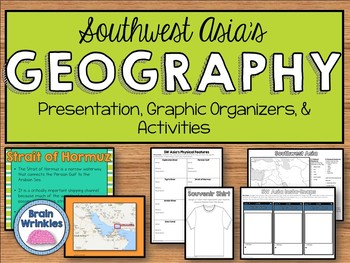
Geography of Southwest Asia (Middle East) - SS7G5
This file is a resource pack about the important political and physical features in Southwest Asia (as outlined by the Georgia Standard of Excellence– SS7G5). This lesson includes a presentation with important facts about the features and where they are located, as well as colorful images. There is also a graphic organizer for note-taking during the presentation, a quick map review game, a creative writing assignment, an Instagram-inspired activity, a map and directions for students to label cou
Grades:
7th
Also included in: Southwest Asia (Middle East) Unit BUNDLE
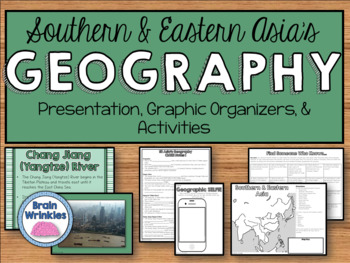
Geography of Southern & Eastern Asia (SS7G9)
This file is a resource pack about the major physical features in Southern and Eastern Asia: Ganges River, Huang He (Yellow River), Chang Jiang (Yangtze) River, Bay of Bengal, Indian Ocean, Sea of Japan, South China Sea, Yellow Sea, Gobi Desert, Taklimakan Desert, Himalayan Mountains, and Korean Peninsula (as outlined by the Georgia Standard of Excellence – SS7G9). This lesson includes a presentation with important facts about the features and where they are located, as well as colorful images.
Grades:
7th
Also included in: Southern & Eastern Asia Unit BUNDLE
13 Colonies: Comparing Regions - New England, Middle, & Southern Colonies
13 Colonies: Comparing the Regions – New England, Middle & Southern ColoniesThis lesson teaches how the three regions of the 13 Colonies differed from one another: New England, the Middle Colonies, and the Southern Colonies. Students will learn how the climate and geography of the three colonial regions impacted the economic as well as the social lives of colonists in the three regions of the 13 Colonies. Students will learn how the New England colonists had to look to different types of rev
Subjects:
Grades:
5th - 11th
Also included in: Early US History Bundle: 1492 - Civil War
US Geography Activities 5 Regions of the United States Special Education
United States Geography Unit covers the 5 main regions of the United States specifically designed for students with special learning needs, especially autism. This unit on United States geography addresses the 5 regions:Northeast RegionSoutheast RegionMidwest RegionSouthwest RegionWest RegionThere are many opportunities for students to engage in repeated information on the different regions of the United States. This repetition encourages true appreciation of the geography of the United States.
Subjects:
Grades:
6th - 8th
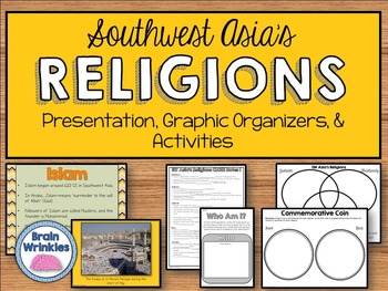
Prominent Religions in Southwest Asia - Judaism, Christianity, Islam (SS7G8)
This file is a resource pack that compares and contrasts the three prominent religions in Southwest Asia (Middle East): Judaism, Christianity, and Islam (as outlined by the Georgia Standard of Excellence – SS7G8c). This lesson includes a presentation with important information relating to the beliefs, how/where each began, prophets, holy book, places of worship, etc., as well as colorful images. There are also many useful graphic organizers and creative activities included in this file! You can
Grades:
7th
Also included in: Southwest Asia (Middle East) Unit BUNDLE
Ancient History Interactive Notebook Mega Bundle
This bundle includes all the Ancient History Interactive Notebooks currently available in The Teacher's Prep store!
ANSWER KEYS are included in each notebook!
**An editable vocabulary page has been added to this resource. It's in a PowerPoint file. Simply add in your own vocabulary words, print, and go!**
The bundle includes a wide variety of interactive notebook graphic organizers for each civilization in the bundle. This allows teachers to customize the activities for their own classrooms
Subjects:
Grades:
5th - 8th
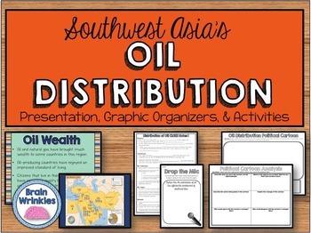
Distribution of Oil in Southwest Asia (Middle East) SS7E6
This file is a resource pack about how the distribution of oil has affected the development of Southwest Asia (as outlined by the Georgia Standard of Excellence -- SS7E6d). There is a presentation that includes important facts and images; as well as many useful graphic organizers and creative activities included in this file! You can choose to do them all, or pick the ones that best meet your students’ needs.File Contents:~Standards Poster – slide 2~SW Asia’s Distribution of Oil CLOZE Notes (for
Grades:
7th
Also included in: Southwest Asia (Middle East) Unit BUNDLE
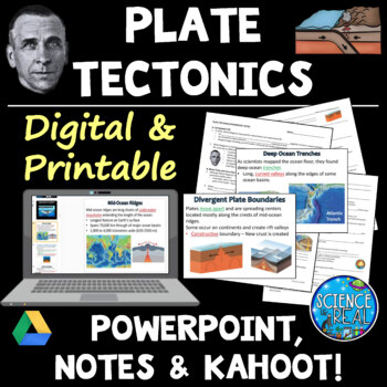
Plate Tectonics PowerPoint with Student Notes, Questions, and Kahoot
⭐ ⭐ ⭐ ⭐ Digital and Printable - Perfect for Distance Learning! This engaging and attractive 50-slide Theory of Plate Tectonics PowerPoint is accompanied by 4-Pages of editable fill-in-the-blank-style notes, comprehension check questions, and a custom KAHOOT! The presentation is embedded with short engaging videos, gifs, amazing graphics, photos, diagrams, and a customized Kahoot! Game for review!Students will complete fill-in-the blank notes as they move through the Plate Tectonics PowerPoint. N
Subjects:
Grades:
7th - 12th
NGSS:
MS-ESS2-3
, HS-ESS2-3
, HS-ESS2-1
Also included in: Plate Tectonics Growing Discount Bundle
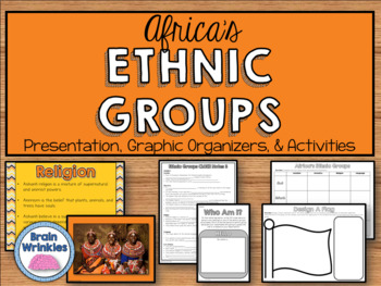
Africa's Ethnic and Religious Groups (SS7G4)
This file is a resource pack that explains the differences between an ethnic group and a religious group and analyzes the diverse cultures of the people who live in Africa. (as outlined by the Georgia Standard of Excellence -- SS7G4). There is a presentation that includes important facts and images about Africa's different ethnic and religious groups (Ashanti, Arab, Bantu, Swahili, Muslims, and Christians). There are also many useful graphic organizers and creative activities included in this fi
Grades:
7th
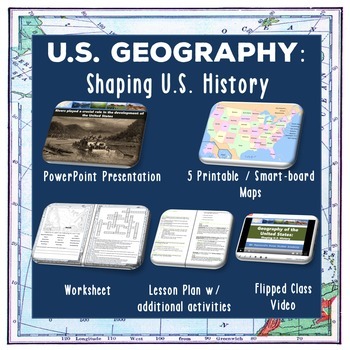
U.S. Geography - Shaping U.S. History
This lesson teaches students the major geographical features of the United States and how they have influenced historical events. Students will learn different types of maps, our major rivers and waterways, our mountain ranges, and the role topography has played in our history. For an overview of the material covered,check out our flipped class YouTube video which is part of the lesson at: US Geography YouTube VideoThis lesson includes:• Completed lesson plan with step-by-step instructions • Pow
Subjects:
Grades:
6th - 12th
Also included in: Early US History Bundle: 1492 - Civil War
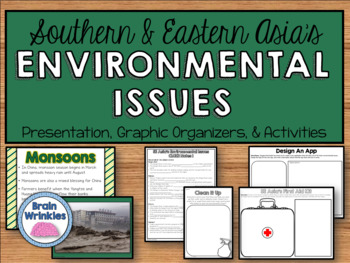
Environmental Issues of Southern & Eastern Asia (SS7G10)
This file is a resource pack that explains the impact of environmental issues across Southern and Eastern Asia (as outlined by the Georgia Standard of Excellence – SS7G10). This lesson includes a presentation with important facts about the causes and effects of pollution on the Chang Jiang (Yangtze) and Ganges Rivers and of air pollution and flooding in India and China. There are also many colorful images for each issue. There are also many useful graphic organizers and creative activities inclu
Grades:
7th
Also included in: Southern & Eastern Asia Unit BUNDLE
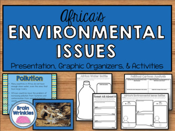
Environmental Issues of Africa (SS7G2)
This file is a resource pack about the major environmental issues in Africa: water pollution and the unequal distribution of water, poor soil and deforestation in Sub-Saharan Africa, and desertification on the environment of Africa from the Sahel to the rainforest (as outlined by the Georgia Standard of Excellence – SS7G2). This lesson includes a presentation with important information about each issue, as well as colorful images. There are also many useful graphic organizers and creative activi
Grades:
7th
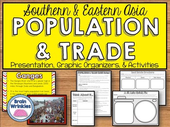
Trade and Population Distribution in Southern & Eastern Asia (SS7G11)
This file is a resource pack that explains the impact of location, climate, physical characteristics, distribution of natural resources, and population distribution on Southern and Eastern Asia (as outlined by the Georgia Standard of Excellence – SS7G11). This lesson includes a presentation with important facts about how the mountain, desert, and water features of Southern and Eastern Asia impact trade and affect where people live. There are also many useful graphic organizers and creative activ
Grades:
7th
Also included in: Southern & Eastern Asia Unit BUNDLE
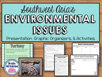
Environmental Issues of Southwest Asia (SS7G6)
This file is a resource pack about how water pollution and the unequal distribution of water impact irrigation and drinking water across several countries in Southwest Asia (as outlined by the Georgia Standard of Excellence-- SS7G6). The specific countries that are investigated include: Turkey, Jordan, Israel, Iraq, Syria, & Saudi Arabia. In the presentation notes, there are facts and images about each issue. There are also many useful graphic organizers and creative activities included in t
Grades:
7th
Also included in: Southwest Asia (Middle East) Unit BUNDLE
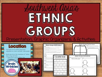
Southwest Asia's Ethnic Groups - Arabs, Persians, & Kurds (SS7G8)
This file is a resource pack that describes the diversity of religions within Southwest Asian (Middle Eastern) ethnic groups - Arabs, Persians, and Kurds (as outlined by the Georgia Standard of Excellence-- SS7G8ab). There is a presentation that includes important facts and images; as well as many useful graphic organizers and creative activities included in this file! You can choose to do them all, or pick the ones that best meet your students’ needs.File Contents:~Standards Poster – slide 2~SW
Grades:
7th
Also included in: Southwest Asia (Middle East) Unit BUNDLE
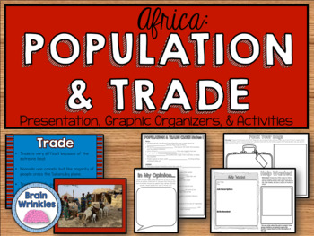
Africa: Population and Trade (SS7G3)
This file is a resource pack that explains the impact of location, climate, and physical characteristics on population distribution in Africa (as outlined by the Georgia Standard of Excellence -- SS7G3). There is a presentation that includes important facts and images about how the characteristics in the Sahara, Sahel, savanna, and tropical rain forest impact trade and affect where people live. There are also many useful graphic organizers and creative activities included in this file! You can c
Grades:
7th
Attention Washingtonians! - Washington State Bundle
If you are a teacher in Washington, I've got your back. Here is everything you need to teach your Washington State History unit!Students will complete a research project as you learn about The Evergreen State:HistoryGeographyFamous WashingtoniansState SymbolsOther Awesomeness!Check out the links below for individual product information...
Grades:
3rd - 7th
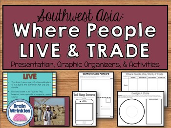
Southwest Asia - Where People Live and Trade (SS7G7)
This file is a resource pack about how the deserts and rivers of Southwest Asia (Middle East) impact trade and affect where people live.(as outlined by the Georgia Standard of Excellence-- SS7G7b). There is a presentation that includes important facts and images; as well as many useful graphic organizers and creative activities included in this file! You can choose to do them all, or pick the ones that best meet your students’ needs.File Contents:~Standards Poster – slide 2~Where People Live an
Grades:
7th
Also included in: Southwest Asia (Middle East) Unit BUNDLE
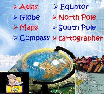
Maps and Globes Geography Interactive PowerPoint (3rd, 4th, 5th Grades)
This is a beautiful and informative 36 slide PowerPoint presentation. This is a super fun and interactive slide show. Maps and Globes Geography Compass Interactive PowerPoint Presentation This ZIP file contains:1. 36 slide PowerPoint presentation2. 36 pages PDFPPT animated presentation to use it in the classroom with any type of interactive board. Use F5 for full screen and clicks or keyboard arrows to run presentation.I've given you 5 slides to look at in the Download Preview – take a look! E
Subjects:
Grades:
1st - 10th
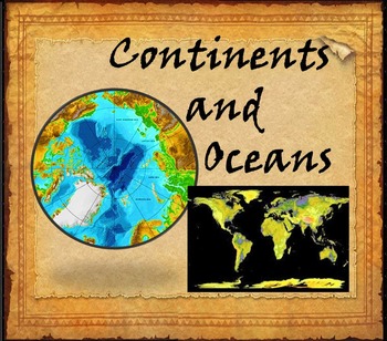
Continents and Oceans Interactive PowerPoint Game Continents Social Studies
Continents and Oceans - 7 Continents & 5 Oceans - Mountains - Rivers - Interactive PowerPoint GameThis is a beautiful and informative 45 slide PowerPoint presentation. This is a super fun and interactive slide show.* Continents * Asia* Top 5 highest mountains in Asia* The Five Largest Rivers of Asia* Africa* The Top 5 Highest Mountains In Africa*The Five Largest Rivers of Africa* North America* The Top 5 Highest Mountains in North America* The Five Largest Rivers of North America * So
Subjects:
Grades:
2nd - 8th
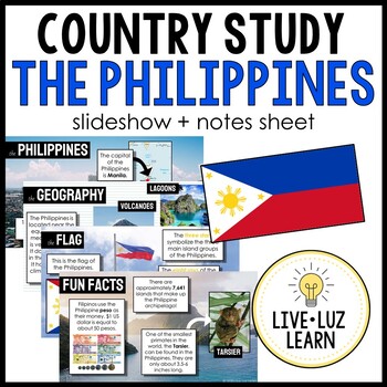
The Philippines Country Study Powerpoint™ Presentation Slideshow
THE PHILIPPINES COUNTRY STUDY | Slideshow + Notes SheetIf you're teaching about the Philippines, this resource is for you! Learn about the Philippines from a real Filipino (me!) I LOVE sharing about my culture.Take a trip to the Philippines with this slideshow that contains real photographs of the beautiful landscape and people of the Philippines. This slideshow, great for all ages (elementary to high school!), goes briefly into these topics:capitalflaggeographyclimatelanguagehistoryreligionsfoo
Grades:
3rd - 12th
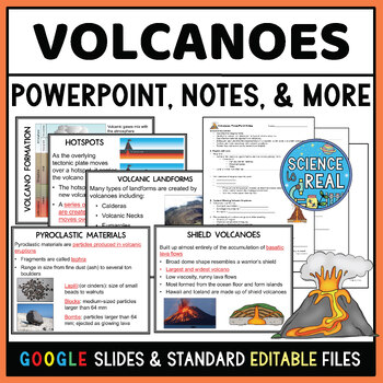
Volcanoes Powerpoint with Student Notes, Questions, and Kahoot
⭐ ⭐ ⭐ ⭐ This Volcanoes PowerPoint covers magma formation, types of volcanoes, volcanic landforms, lava flows, pyroclastic material, volcanic structures, the Ring of Fire, hotspots, and the benefits and hazards of volcanoes. This engaging 60-slide text-editable Volcanoes PowerPoint is accompanied by editable fill-in-the-blank-style notes, 10 comprehension check assessment questions, and a custom Kahoot!Standard printable files (MS Word and PDF) and Google Slides versions are both included. The pr
Subjects:
Grades:
7th - 12th
NGSS:
MS-ESS2-2
Also included in: Earthquakes and Volcanoes Growing Resource Bundle
Showing 1-24 of 485 results


