90 results
8th grade geography posters for Microsoft Word
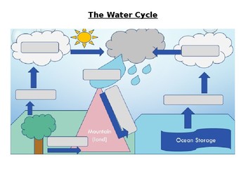
The Water Cycle Worksheet and Answers
This activity works well when projected onto a whiteboard and writing in the answers together with the class while discussing the purpose of each part of the Water Cycle. Answer sheet is included.
Activity can also be used for assessment of knowledge of the Water Cycle.
Answers sheet can be printed out and used as a poster for the classroom.
Subjects:
Grades:
4th - 12th, Adult Education
Types:

Planning A Road Trip Project
This project requires students to plan a road trip within the United States. It covers many aspects of Geography (using roads, directions, finding attractions, etc.) and requires use of Mathematics for budgeting.
Students will plot out the cities they plan to go to, the hotels they will stay at, the attractions they will visit, and miles driven. They will also write journal entries and create a postcard from one of their cities.
They will use actual prices (computers will be needed for resear
Subjects:
Grades:
7th - 8th
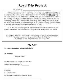
ROAD TRIP PROJECT
This Road Trip Project is meant for middle school math students, but can be changed for younger or older.
In this project, students must choose ten places to stop at around the United States of America. At each stop, they need to go to at least one attraction and stay at a hotel. They need to calculate the cost to visit each location and the cost of travel, keeping in mind the mileage for the vehicle they choose.
This purchase includes a full description of the project, tables for students to
Subjects:
Grades:
5th - 10th
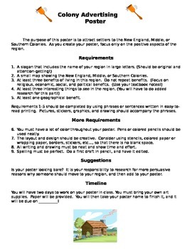
Colonial Region Advertising Poster Project
Need an engaging culminating project for a study of Colonial Regions? This project allows students to present their learning in a creative manner. They present their research on colonial regions by creating an advertising poster for that region. Can be used an a individual or group project. Score sheet is included.
Grades:
5th - 8th
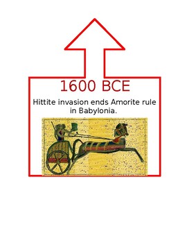
Ancient World History Timeline
This timeline was created for a 6th Grade Ancient World History class that utilized DBQs as part of instruction. Dates in CE are blue, BCE are red, and when the event spanned both they are purple. An arrow is at the top of the box to help signal where on the line the event took place. I used duct tape to create my line and pinned the events as we learned them during the school year. This was a great visual display for my students and helped them understand how different parts of the world were c
Subjects:
Grades:
5th - 12th
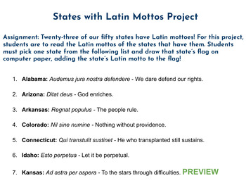
Latin Language Project - States' Mottos
Assignment: Twenty-three of our fifty states have Latin mottoes! For this project, students are to read the Latin mottos of the states that have them. Students must pick one state from the list and draw that state’s flag on computer paper, adding the state’s Latin motto to the flag!This product comes with a downloadable word document with a list of all the states that have Latin mottos. Images of state flags can easily be found online and printed out, if desired. This is a great, fun assignment
Subjects:
Grades:
4th - 8th
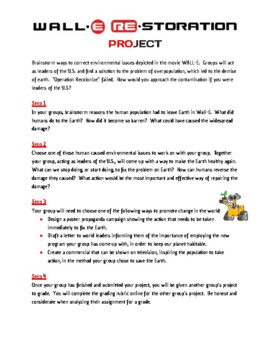
Wall-E Re-Storation Overpopulation Pollution Project - Editable
This project was designed to meet part of the C3 framework for Social Studies. After watching the movie Wall-E, and filling out the movie guide, students worked on this project. It is a great way to bring together population, climate change, and environmental sections in World Geography. This document is editable.
Grades:
6th - 8th
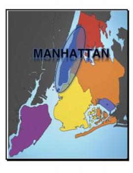
Map, New York, 5 Boroughs
Each page of this document includes a map of NY with a variety of places highlights:
- 5 Boroughs
- Hudson River
- East River
- Atlantic Ocean
Great for labeling student tables for a unit and/or handing out to study maps.
Grades:
K - 12th, Higher Education
Types:
World History Imperialism Acoustic Poem Project Rubric and example
World History Imperialism Acoustic Poem Project Rubric and 3 student examples that is fully editable.Please email me with any questions at ReadySetLearnSocialScience@yahoo.comIf you would like to get updates on NEW and CURRENT resources...►FOLLOW Me on Teachers Pay Teachers►FOLLOW Me on Pinterest►FOLLOW Me on InstagramTERMS OF USE - This item is a paid digital download from My TPT StoreAs such, it is for use in one classroom only. This item is also bound by copyright laws. Redistributing, editin
Subjects:
Grades:
7th - 11th
Types:
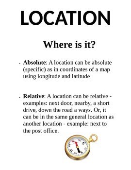
5 Themes of Geography Poster Pack
This product includes five separate posters about the 5 Themes of Geography (Location, Place, Region, Movement, and Human-Environment Interaction) Each poster has a title, definition, and picture for students to use as a resource. Print them on 8.5"x11" paper or cardstock and laminate for yearly use.
Grades:
3rd - 8th
Types:
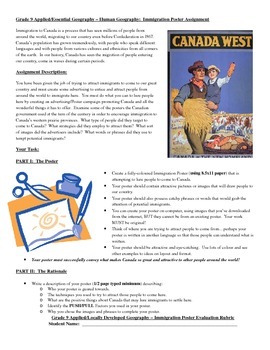
Human Geography - Immigration to Canada Poster Assignment
An assignment used with grade 9 Applied and Essential Level students as part of the unit on Human Geography. Samples of posters used by the Canadian government to encourage immigration to the Prairie provinces during Prime Ministers reign and Clifford Sifton's Open Door Policy.
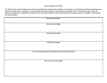
Natural Disasters Mini Project
This short project can typically be completed in one or two days. In it, students research a major natural disaster and complete an informational chart. Once they have completed the chart, they create a "mini-poster" on the back that describes their natural disaster.
Grades:
4th - 12th, Higher Education, Adult Education
Types:
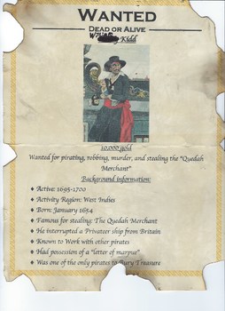
PIRATES or Privateers??
Privateer or Pirate? Have your students research the history of pirates and piracy by creating a PowerPoint presentation, a "WANTED" poster, a play, rap or story using the research questions and Rubric provided!My project can be easily edited through Microsoft Word.
Subjects:
Grades:
6th - 12th
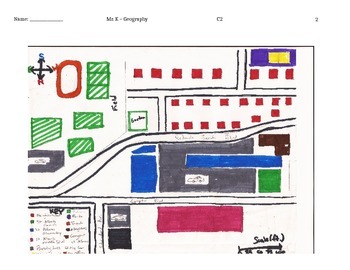
How to Create a Map Project: Activity to Connect Students through Maps
Use the guidelines and the example to help students create maps that tell the story of themselves. Be sure to cover the key terms before you have them create the maps. Their "My Map of Me" project is intended to help them establish connections with other students in class while learning basic map skills such as: using a compass rose to show the cardinal directions, working with scale, and creating and reading map keys. The lesson can be accompanied with a write up that answers the question: "How
Grades:
6th - 9th
Types:

Arab Spring Project
This is a research, poster and presentation project I did with my 7th grade students when we were talking about conflict and revolution in the Middle East. It requires a lot of interpretation of events so might be better suited for older kids, but my kids enjoyed doing it.
Subjects:
Grades:
7th - 12th
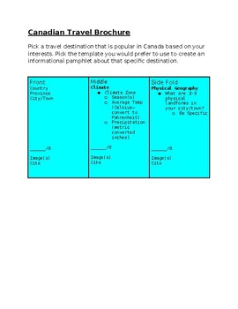
Canadian Travel Brochure
Teaching the themes of geography through activities is a great way to gain knowledge based on student interests. My geography students loved creating brochures/pamphlets to SHOW what they learned throughout the lesson.
Subjects:
Grades:
6th - 12th
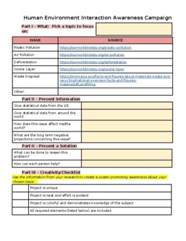
Human-Environment Interaction Project
Project can be used in conjunction with the Five Themes in Geography. After researching an environmental issue, students create a poster that focuses on the behaviors that are creating the problem and those that are helping to resolve the problem.
Subjects:
Grades:
6th - 12th, Staff
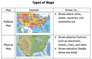
Types of Maps Notebook Infographic
This infographic defines 5 different types of maps: political maps, physical maps, climate maps, resource maps, and road maps. For each type of map, the infographic shows an example map as well as a description/definition. This infographic makes a great reference/resource for students who are studying geography. My students glue it into their interactive notebooks and reference back to it when necessary.
Subjects:
Grades:
4th - 8th

Mapping the School Activity
A group activity where students map their school and create a corresponding key or legend. They work together, assign roles and make a bright colorful map to illustrate their school!
***Please rate my product, I would love your feedback!***
Grades:
6th - 10th
Types:
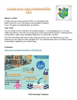
Sustainability PSA Activity
This sustainability PSA includes the task description, examples, a planning template, a checklist and a rubric with a self assessment. Students have a choice between creating a video, podcast or poster to present their informative PSA about sustainability around fast fashion, food waste, ecological footprints, or recycling programs in schools.
Subjects:
Grades:
7th - 10th
Types:
5 Themes of Geography in Literature
While a literary work stimulates the reader’s imagination, it also presents information that can be used to illustrate basic, and not so basic, geography concepts. All year we have taught geography using the five themes. The five themes of geography are readily apparent in virtually every literary work.The product includes an introduction to project, organizers to support students in finding each theme in the text, checklist, rubric, and teacher sample responses.
Grades:
7th - 11th
Types:
License Plate Student Name Tags
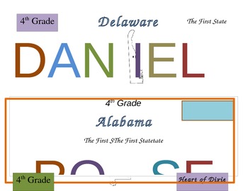
This set includes 26 colorful license plate name tags. Each name tag is editable and includes a different state. Each license plate has the name of the state, an outline map of the state (with capital starred) and the state slogan.
Names are already filled in on each license plate. All you need to do is highlight the pre-existing name and type the name of your student. This should help you with having problems with formatting.
I am using these as license plates for my students this year
Grades:
K - 8th
Types:
Create Your Own Physical Map Project
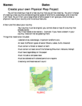
Create Your Own Physical Map Project with attached rubric and directions/ideas about implementation. Students will have a lot of fun with this project while learning about the features on a physical map.
Subjects:
Grades:
3rd - 8th
Types:
Geography Themes Poster Project
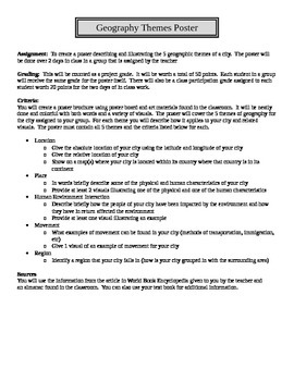
A collaborative, group project on the five themes of geography. Students are assigned a city (any city works) and are then asked to research (research materials can given to them) the 5 themes of geography related to their assigned city. The students are then asked to create a poster displaying the information they found regarding the five themes of geography related to their city as well as numerous images.
Grades:
6th - 12th
Types:
Showing 1-24 of 90 results


