12 results
8th grade geography laboratories for Microsoft Word
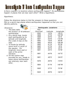
Investigate Where Earthquakes Happen Lab Activity
This is an activity that answers the questions: Is there a pattern to locations where earthquakes happen? Do earthquakes happen in places that are near each other? This activity involves writing a hypothesis and charting on a map various earthquake locations to come up with a conclusion to where earthquakes happen. This activity includes map and answer key.
***This item is also included in the Science CD that I sell separately which includes all of my Science digital products (power points
Subjects:
Grades:
3rd - 9th
Types:
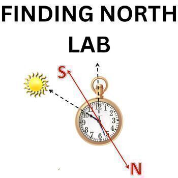
Map Skills Orienteering, Compass Activity Learning to find North, Camping,Summer
Objectives Students will become familiar with navigational tools and demonstrate their ability to use them to navigate successfullyStudents will become familiar with navigational tools(map and compass) and demonstrate their ability to use them to navigate successfullyStudents will become familiar with the navigational tool compass and demonstrate their ability to use them to navigate successfullyStudents will determine their pace using a pre-measured course and then practice pacingThis lesson i
Subjects:
Grades:
6th - 8th
Types:
NGSS:
HS-ESS1-3
, MS-ESS1-1
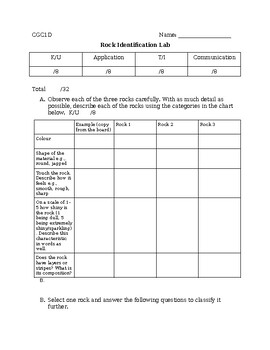
Geography/ Earth Sciences Rock Identification Lab
An interactive rock identification lab which meets grade 9 geography and grade 8 science curriculum expectations. Students will explore and identify rock types in groups for 3-4 classes.
Subjects:
Grades:
8th - 10th
Types:
NGSS:
HS-ESS3-5
Crustal Features / Land Forms Minecraft Virtual Engineering Project
Using Minecraft Education, students will go on an expedition to discover how various landforms look. They will practice identifying features in the landscape and making their own versions of those land forms. For this activity you will need technology that you can download Minecraft education onto. If you don't have access to that you can definitely project your desktop screen onto the board and students can observe. This resource is a great way for students to explore science in a virtual (semi
Subjects:
Grades:
3rd - 8th
Types:
Human Population: Cemetery Population Structures
The American population is changing in dramatic ways. Likewise, changing population structures in other countries are driving changes around the world. Food supplies, energy use, climate change: all are consequences of the changing structures of world populations.
This activity belongs to a 3-part collection for a week-long population structure investigation using free Internet resources. Be sure to download my PopulationStructure PowerPoint and PopStructureData Excel spreadsheet. The lab se
Subjects:
Grades:
8th - 12th, Higher Education
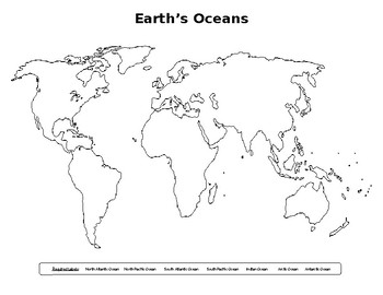
Mapping EARTH Lab #1A
A series of blank world maps for student completion: 1) Continents, 2) Mountain Ranges, 3) Oceans, 4) River Systems, 5) Tectonic Plates, 6) Latitude/Longitude, and a cover page. Each map has a listing of required geographical features to be located, identified, and colored. Companion Power point is available. Companion lab report available as well.
Subjects:
Grades:
6th - 10th
Types:
Weather and Statistics Practical - History of STEM practicals - Red Sunset
Practical 24 in the History in STEM practical series.In this practical the students will test out the age old proverb of "Red Sunset, Sailor's Delight. Red Sunrise, Sailors Warning".This practical will take a few weeks to complete, but requires almost no material, beyond what many students have, namely a camera (or phone), pen and paper. The students observe the colour of the sunset over a time period set by yourself, and record what the weather is like the following day. The practical includes
Subjects:
Grades:
7th - 10th
Types:
Also included in: History of STEM Practicals Bundle - Science, Mathematics and History
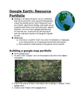
Earth Resources: google earth portfolio
This project can act as a cumulative for the unit or an exploratory experience. Students will explore the resources for a country of their choosing. In doing so they will be tasked with marking locations of existing resources, along with adding information and images to that location. Topics within this project include but are not limited to Land, Water, and Energy Resources. Students will need internet access to research, design, and build a portfolio outlining the major resources in a country
Subjects:
Grades:
7th - 12th
Types:
NGSS:
HS-ESS3-2
, HS-ESS3-1
, HS-ESS3-4
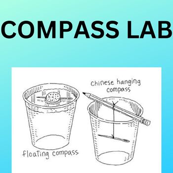
Astronomy Earth Science & Physics Making your own compass .Middle School Science
It may seem to be old fashion in today’s high tech world to teach students how to use this simple tool. However, if students understand and relate to cardinal directions it will make it much easier to work with both topographic and astronomy mapsIn this lesson there are 3 mini lessons included. It is 3 labs which work as oneThis lesson was taught for years to 8th grade students
Subjects:
Grades:
8th
Types:
NGSS:
MS-PS2-5
Also included in: Astronomy light, planets sizes , space rocket and sun tracking
Magnets Viking Compass Middle and High School Science History Lab
Grade 8 STEMDiscover this unique rock's properties that have been used for centuries to help sailors find their way. This lesson is both a science lab and a history lab. It has been classroom tested for many years. Allow your students to become real Vikings for the day!! MaterialsLodestonePinsSuper Magnet Black Sand PencilsStaplesGlass Test TubeElastics
Grades:
7th - 9th
Types:
Also included in: Magnet Lab| Magnetic & Nonmagnetic fun labs for middle school science
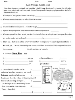
Lab: Using A World Map
This exercise contains 36 questions students must answer using a World Map and a textbook.My students used a 1997 desk sized Rand Mcnally laminated world map. This world map has numbered Latitudes separated by 15-degrees and Longitudes separated by 30-degrees. The laminated map is also a Robinson Projection. Their textbook describes the differences/limitations of Robinson and Mercator maps.I prefered my students to work in groups to answer these questions and then I collected one-Lab from each g
Subjects:
Grades:
8th - 12th
Types:
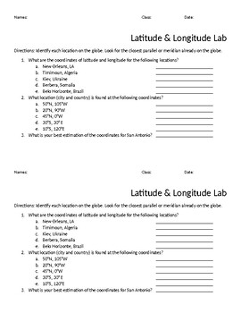
Latitude and Longitude Lab
This simple lab gives students a change to practice the important skill of finding locations using latitude and longitude. While some may find this is a basic skill, I always find that my students have very little experience finding coordinates themselves! Begin with a review of longitude and latitude, and then reinforce with this lab.To do this activity, I recommend using globes (I use mini 7 inch globes!) rather than a paper map. Since I don't have 30 globes laying around, I also have students
Subjects:
Grades:
6th - 12th
Types:
Showing 1-12 of 12 results


