966 results
10th grade geography classroom decors under $5
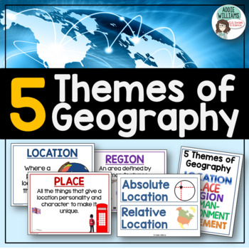
Five Themes of Geography Posters and Word Wall
Five Themes of Geography Poster and Word Wall Set - includes 16 posters and 16 word wall strips! One poster and word wall strip for each of the five themes and their sub-topics! Great way to help students remember and learn to apply the Five Themes!Location - Absolute and RelativePlace - Human and PhysicalRegion - Formal, Functional, and VernacularHuman Environment Interaction - Adapt, Depend, and InteractMovement Also, check out FREE Five Themes of Geography ProjectAddie Williams
Subjects:
Grades:
6th - 10th
Types:
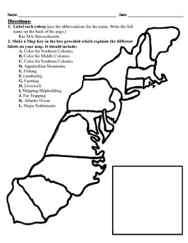
13 Colonies Map Project (8.5x11)
This project has three different differentiated levels for different levels of students, or to have them work up to... This project is set-up to print on 8.5x11 sheets of paper. In the first tier (the easiest), the students are given a map of the thirteen colonies and have to label each colony and then color the Northern/North Eastern Colonies, the Middle Colonies and the Southern Colonies different colors in a map key they create. In the second tier (medium difficulty), the students have to la
Subjects:
Grades:
3rd - 12th
Types:
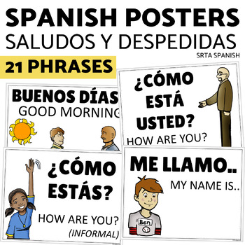
Saludos y Despedidas Classroom Bulletin Board Greetings and Farewells in Spanish
Support your students with this print and hang classroom display! This bulletin board is clear and accessible for your students, and easy for you to use!Print and hang the beautiful posters to give your students a word wall to welcome them into your Spanish classroom. Click here to save on a bundle of resources for Spanish greetings vocabulary!INCLUDED PAGES:21 vocabulary phrasesversions with and without the English supportsPrintable letters for classroom display "Saludos y despedidas"PHRASES IN
Subjects:
Grades:
7th - 11th
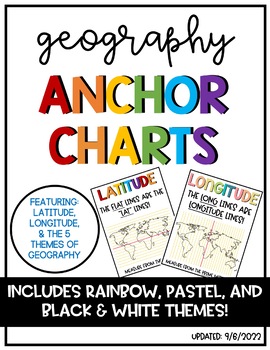
Latitude & Longitude + 5 Themes of Geography Anchor Charts
Latitude and Longitude are tricky concepts to teach! I print mini copies of these out for my students to place in their interactive notebooks and I have large copies hanging in my classroom as a reference guide. I have also included my 5 Themes of Teography reference charts as well.
Grades:
4th - 12th
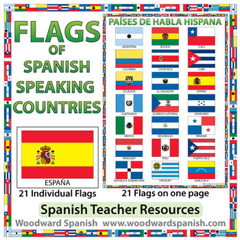
Flags of Spanish-speaking Countries
Flags of the 21 Spanish-speaking countries.
These flags are perfect for decorating the Spanish classroom. You may also want to laminate the flags and use them as large flashcards.
There are 21 individual flags of the following Spanish-speaking countries: Argentina, Bolivia, Chile, Colombia, Costa Rica, Cuba, Ecuador, El Salvador, España, Guatemala, Guinea Ecuatorial, Honduras, México, Nicaragua, Panamá, Paraguay, Perú, Puerto Rico, República Dominicana, Uruguay, Venezuela.
Each flag is on its
Subjects:
Grades:
1st - 12th, Adult Education
Also included in: Spanish Bundle – Spanish-speaking Countries and Capitals
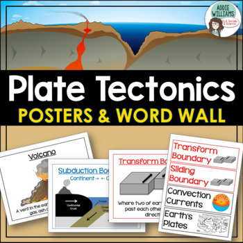
Plate Tectonics Posters - Volcanoes, Plate Boundaries, & Earthquake Faults
Plate Tectonics, Volcanoes, Earthquakes, and More! 24 posters and 30 word-wall strips to use in a plate tectonics unit to help your students learn and review the main concepts.Includes:- Types of volcanoes (Composite/stratovolcano, shield, cinder cone)- Plate Boundaries (Divergent, convergent... posters for each type)- Earthquakes & Faults (Normal, reverse, strike-slip/transform, focus, epicenter)Posters can be printed in black/white or in color! They look great laminated and posted on the w
Subjects:
Grades:
7th - 10th
Types:
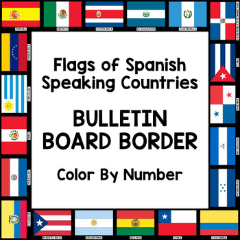
Flags of Spanish-Speaking Countries Bulletin Board Border
Decorate your classroom bulletin boards with these colorful flag borders. Your students will enjoy learning about the 21 flags of the Spanish-speaking world as they follow a color by number key to color in each section of the flags. Only five colors are needed: rojo, amarillo, verde, azul cielo, and azul (red, yellow, green, sky blue, and blue). This is a great activity when learning about the 21 Spanish-speaking countries, Hispanic culture, holidays, or colors.
Includes:
- A set of 3 color by
Subjects:
Grades:
K - 10th
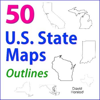
GEOGRAPHY | 50 U.S. State Maps Outlines (K-12)
GEOGRAPHY | 50 U.S. State Maps Outlines (K-12). Map outlines for all American occasions: history, physical, political, or specialty. Ideal for reports, labeling, or patriotic projects. Unfortunately, maps will not create a scaled puzzle. Preview same as Download.About the collection:Files are 8.5" x 11" in PDF & PNG. Product purchase is for organizational services. Maps are compiled from various free online sources and clarity is not always consistent. Please view Preview to see if maps mee
Grades:
K - 12th
Types:
Also included in: Top 20 Best Sellers
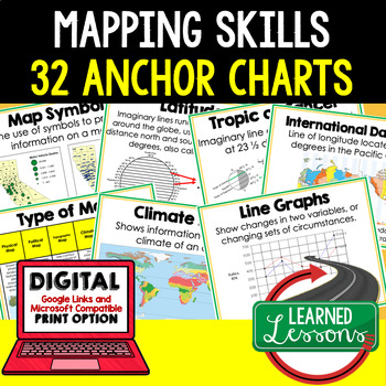
Mapping Skills Anchor Charts (World Geography Anchor Charts), Posters, Google
Mapping Skills Anchor Charts (Great as Bellringers, Word Walls, and Concept Boards), Mapping Skills Posters, Geography Review Pages, Digital Activity via Google Classroom This bundle will take your through the entire Geography curriculum. It will include all components of Geography. This is perfect for traveling around the world in style. THIS IS ALSO PART OF World Geography MEGA BUNDLE, Mapping Skills BUNDLE, Geography ANCHOR CHART BUNDLE Anchor charts are great for representing the topics
Grades:
6th - 12th
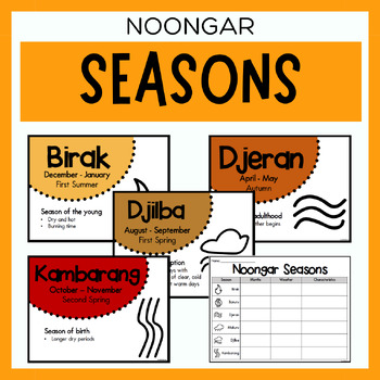
Noongar Australian Aboriginal Seasons Calendar & Worksheet - Nyoongar
✏️ Celebrate the rich cultural heritage of the Noongar Indigenous Aboriginal Australians with our Seasons Calendar & Worksheet! This comprehensive resource includes 7 display posters (with an alternate spelling of Nyoongar) and a worksheet to help students learn about the traditional Noongar seasons. With a link to the Indigenous Weather Map, this resource is an excellent tool to support teaching and learning about Indigenous culture and weather patterns. What's Included?7 Display Posters (+
Subjects:
Grades:
PreK - 12th
Also included in: Noongar Vocabulary Bundle | Aboriginal Language Resource
Why Study Geography? Geography Icebreaker Primary Source Activity
This highly-engaging "why study geography" lesson engages students on the study of geography, why it is important, and why we should study it. This resource is an outstanding way to start your year as it promotes critical thinking, requires analysis, and sets the framework for studying history and social studies throughout your school year. This lesson mirrors my very popular and best selling "why study history" resource.** A new Google 1:1 version is now included in this product that is optimi
Grades:
6th - 10th
Types:
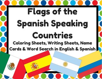
Flags of Spanish Speaking Countries Activities (Banderas paises hispanohablantes
Flags of Spanish Speaking Countries Activities (Banderas de los paises hispanohablantes)2- Sheets with all 21 Spanish speaking countries (small)21- Flag with name of country (English & Spanish versions) 2- Writing sheets that could be copied on the back (10 facts about... & I know a lot about___) (English & Spanish versions) 1- Word search (English & Spanish versions) 1- Flags quiz (students write in name of flag) (English & Spanish versions)
Subjects:
Grades:
K - 12th
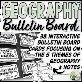
5 Themes of Geography Interactive Bulletin Board and Note Pages
This interactive bulletin board resource for geography and map skills consists of 38 bulletin board cards and 2 accompanying note pages. The bulletin board covers the five themes of geography, including the definition of geography, its importance, the role of a geographer, and map essentials. Students can use the bulletin board, textbook, and teacher-selected websites as reference materials when completing the note worksheets.Just Added:32 half-page bulletin board cards including vocabulary and
Grades:
5th - 10th, Staff
Also included in: Geography Store Growing Bundle
Ancient Civilizations: Greece, Rome and the Empire of Mali Pack
Not only is this pack full of ready made assessments and teaching tools, it also includes a Unit Plan with links to PowerPoints that will help you teach about the Ancient Civilizations of Greece, Rome and the Empire of Mali!! (not included in the preview)
This pack, that I created based on the VA 3rd grade SOLs, includes the following items:
-Ancient Greece Info Poster
-Ancient Greece Info (half page posters for notebooks- 2 per page)
-Ancient Rome Info Poster
-Ancient Rome Info (half page post
Subjects:
Grades:
3rd - 10th
Five Themes of Geography Posters! 5 posters for Geography Bulletin Boards!
Five Themes of Geography Posters! 5 posters for Geography Bulletin Boards!This geography resource is included in the 11-resource, All Things Geography Bundle, located here!---In this purchase, you receive five engaging posters for the five themes of geography that you can place around your room, on bulletin boards, on walls, doors, or anywhere you want to remind students how each theme works! Each of the five themes is included (Location, Place, Interaction, Region, and Movement) and each provi
Grades:
3rd - 12th
Mini Classroom Decor Pack: Travel Theme
This travel themed mini classroom decor pack includes:
-student tags {can be used for cubbies, door, bulletin boards, etc.}
-a banner that says "Destination: success"
-a where we are sign to post outside the classroom
I also sell this product in Spanish: here is a link to the Spanish version!
Please email me at linsayhumphrey@yahoo.com with questions or suggestions. Thanks :)
Grades:
PreK - 12th
Types:
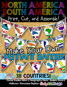
North America South America Classroom Decor Make Your Own Pennant Banner
North America South America Classroom Decor Make Your Own Pennant Banner
Grades K-12 social studies, history, geography, Model UN, global studies, world history
Celebrate our world! Teachers can decorate their classrooms, hallway, gymnasium, media center, or anywhere in their building. You'll get 38 pennants to choose from. Pick pennants that represent your student's heritage, ethnicities, backgrounds, ancestry.
They are colorful and awesome to look at. The countries pennant will bring enthu
Grades:
PreK - 12th, Higher Education, Adult Education, Staff
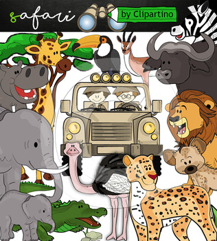
Cute Safari animals Clip Art /African Animals /Commercial use
Safari clipart bundle inclides 22 png files transparent background+jpgand safari clip art 22 png+jpg black-white filessize 1 files about 6 inch 300 dpiFor personal and commercial use!!!African Animals & Savanna clipart (Animal jungle clip art)BinocularjeepJeep with boysBoyscrocodileantelopehippoelephantbaby elephantbuffaloa lionleopardhyenarhinoceroshippostonebeaktreegrassostrich!!!! See more animals clipartOcean animals clipartSafari clipartBugs clipartBirds ClipartDinosaur ClipartArctic An
Grades:
PreK - 12th, Higher Education, Adult Education, Staff
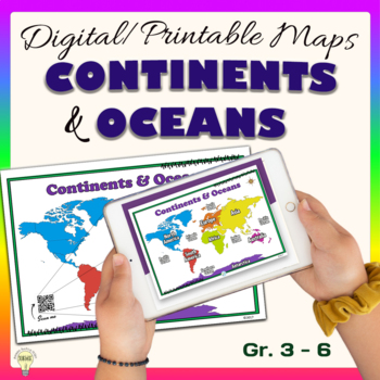
Continents and Oceans World Maps Poster Digital & Printable Handouts+ Boom Cards
"Continents and Oceans" is a set of digital and printable world maps and the individual continent maps: Europe, Asia, Africa, Australia, North America, South America, and Antarctica maps. It is perfect for traditional classroom settings, 1:1 schools, or distance learning in your Science and/ or Social Studies classrooms. These diverse maps are an excellent way to supplement your existing Science and/ or Social Studies curriculum. In no way it is intended or designed to replace it. It is about gi
Subjects:
Grades:
1st - 12th
Types:
Also included in: Social Studies United States Geography US History Growing BUNDLE
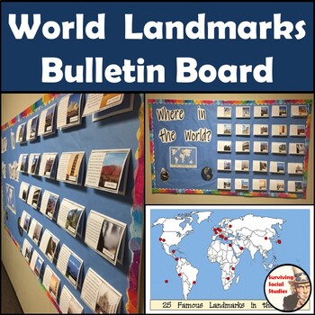
Social Studies Bulletin Board: World Landmarks
This bulletin board is one that students will stop and look at to see if they guessed correctly. Included in this resource are 25 famous world landmarks that have a picture, a summary of the landmark, and the location shown on a map underneath. A large map with all of the locations will go on the bulletin board as well for your students to take a guess and then open the cover of each landmark to see if they were correct. The World Landmarks Included:Berlin WallBurj KhalifaChrist the RedeemerCo
Subjects:
Grades:
6th - 12th
Also included in: Social Studies Bulletin Boards Bundle: USA & World Landmarks
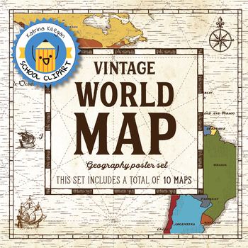
World map and continents: Vintage style geography poster set (10 maps)
World map and continents: vintage style geography poster setThis world and continents set includes a total of 10 maps:• World• Africa• South America• Central America• North America• Europe (2)• Middle East• Asia• OceaniaMaps capture current geographical and political boundaries (as of May 2019) with vintage-style graphics and script. The world map clearly labels continents and oceans. Continent maps label all countries, oceans and include a color-coded country key.These maps are a great addition
Subjects:
Grades:
PreK - 12th, Higher Education, Adult Education, Staff
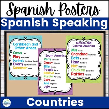
Spanish Speaking Countries Acronym Posters
Looking to help your students learn the Spanish speaking countries? Use these posters to help your students remember the Spanish speaking countries with fun phrases. Included in this set are 3 posters or handouts. Two of the posters (Mexico/Central America and South America) will help students remember the order of the countries on a map from north to south. The other poster will help students remember the countries outside of these geographical areas.What are other teachers saying about this re
Subjects:
Grades:
4th - 12th
Types:
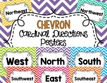
Chevron Cardinal Directions Posters
These chevron Cardinal Directions posters will be the perfect addition to your chevron-themed classroom! Help students remember Cardinal Directions by having fun, visual reminders on the wall!
This set include eight 8 1/2" by 11" posters in various bright chevron prints: North, South, East, West, Northeast, Northwest, Southeast, Southwest.
Laminate these posters for durability and use them in your classroom for years!
I hope you enjoy this product!
*******************************************
Subjects:
Grades:
PreK - 12th
Types:
Five Themes of Geography Word Wall Posters | 5 Themes Bulletin Board | Microsoft
Display a colorful, Five Themes of Geography poster set in your classroom to easily tie in the concepts year-round. Each poster features “Stickman” exploring the 5 Themes: Location, Place, Region, Movement, Human-Environment Interactions. Includes a quick intro activity where students examine the images and captions, then match each definition with the theme of geography it BEST fits. It is a fun way to encourage your students to find main ideas in the details. Includes a printable reference cha
Subjects:
Grades:
5th - 10th
Showing 1-24 of 966 results


