18 results
2nd grade world history classroom decors for Microsoft Word
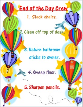
Hot Air Balloon Classroom Decor
Best if printed on cardstock and laminated. Hot air balloon design is 100% changeable. The entire unit is created in Word and you can adjust it to your liking.
What can be found in this unit:
Calendar numbers - The color of the numbers and birds can be changed in addtion to the background. Does include birthday and test day cards. There are blank cards available for you to create your own day as well.
Newsletter - Everything you need in a newsletter can be found in this article. I've set it
Grades:
PreK - 12th
Types:
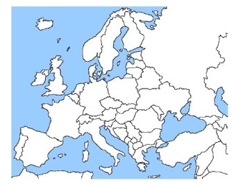
Global/U.S. - Maps Databank - Europe
98 pages of maps related to the continent of Europe. This databank of maps can be used for a variety of purposes depending on your lesson. Some examples of the types of maps included (but not limited to) are:- Political maps- Physical maps- Blank political maps- Vegetation Zone maps- Climate maps- Precipitation Rate maps- Satellite maps- Economic maps- Wealth / GDP maps- Resource / Land Use maps- Religion / language / ethnicity maps- Population density maps- Flag maps- Historical maps related to
Grades:
1st - 12th, Higher Education, Adult Education, Staff
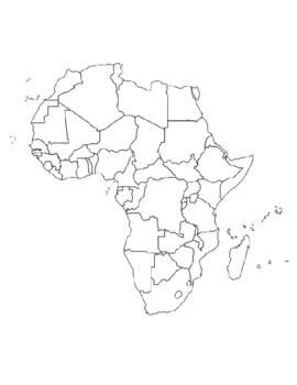
Global/U.S. - Maps Databank - Africa
40 pages of maps related to the continent of Africa. This databank of maps can be used for a variety of purposes depending on your lesson. Some examples of the types of maps included (but not limited to) are:- Political maps- Physical maps- Blank political maps- Vegetation Zone maps- Climate maps- Precipitation Rate maps- Satellite maps- Economic maps- Wealth / GDP maps- Resource / Land Use maps- Religion / language / ethnicity maps- Population density maps- Flag maps- Historical maps related to
Grades:
1st - 12th, Higher Education, Adult Education, Staff
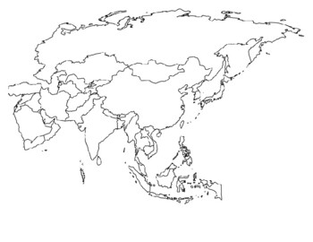
Global/U.S. - Maps Databank - Asia
33 pages of maps related to the continent of Asia. This databank of maps can be used for a variety of purposes depending on your lesson. Some examples of the types of maps included (but not limited to) are:- Political maps- Physical maps- Blank political maps- Vegetation Zone maps- Climate maps- Precipitation Rate maps- Satellite maps- Economic maps- Wealth / GDP maps- Resource / Land Use maps- Religion / language / ethnicity maps- Population density maps- Flag maps- Historical maps related to d
Grades:
1st - 12th, Higher Education, Adult Education, Staff
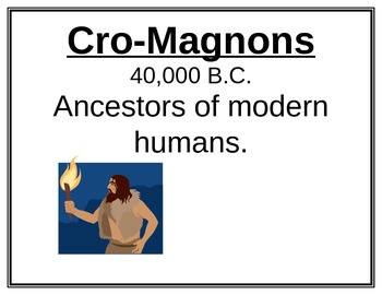
Historical Timeline- 74 Pages for 74 Major Events
A historical timeline including major events, people, and inventions to displayed around the classroom. Each page has a Title, Year (approximate), and a brief description. Great for students to refer to when putting current content in context with world events.
Subjects:
Grades:
1st - 12th
MAP SKILLS Geography Word Wall Bank ~Correlates with virtually ALL curriculum!~
This is a First Grade level geography word bank to be used as a word wall or even individual file folder word walls. The words are used in basically every curriculum at this age level. Perfect for a visual to add as you learn new terminology, very easy to turn into a hands-on long-term project as a mini word-wall. Awesome as it would combine the big three learning styles, Auditory/Visual/Kinisthetic. Good for end-of-year review and for them to keep up with their own "records". Will be creating
Grades:
K - 2nd
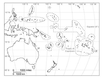
Global/U.S. - Maps Databank - Oceania / Australia
18 pages of maps related to the continent of Oceania / Australia. This databank of maps can be used for a variety of purposes depending on your lesson. Some examples of the types of maps included (but not limited to) are:- Political maps- Physical maps- Blank political maps- Vegetation Zone maps- Climate maps- Precipitation Rate maps- Satellite maps- Economic maps- Wealth / GDP maps- Resource / Land Use maps- Religion / language / ethnicity maps- Population density maps- Flag maps- Historical ma
Grades:
1st - 12th, Higher Education, Adult Education, Staff

Compare and Contrast Two Cultures Project
You are going to be comparing and contrasting TWO different cultures in this project. You will design a poster about your culture and another culture. The poster should include information about the similarities and differences in literature, language, diet (food and drink), clothing, holidays and celebration and other cultural aspects.
Grades:
1st - 9th
Types:
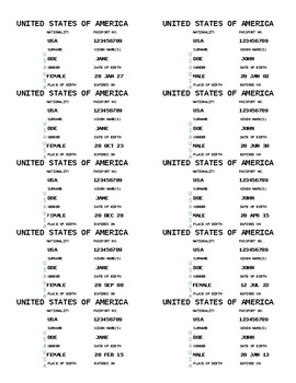
Student Passport Stickers (Editable)
These editable passport stickers are perfect for geography studies, back-to-school travel theme decor or immigration studies. How I Use Them:I have used these a few ways. I first designed them when we were doing our continent studies. Students got a stamp in their passport for each continent they finished researching. I used these also when I taught fourth grade as we were studying immigration. I brought in my own set of old and current passports. We talked about the information on them, why it
Grades:
PreK - 8th, Staff
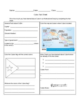
BASIC CUBA FACT SHEET
* This is a fact sheet about Cuba.
* Basic information
* Can be used as bulletin board piece, or be given as a quiz after teacher about the country in Social Studies/history/ or even multicultural celebrations.
Grades:
2nd - 7th
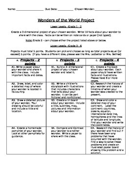
Wonders of the World Project
A great way to do a project on the wonders of the world. Students use this page to choose what projects they would like to complete. It makes for a very independent, self-chosen student project study. Teachers can alter the page to fit their needs of their classrooms. Happy Learning!
Subjects:
Grades:
1st - 6th
Types:

Research On Egypt- Worksheet for Bulletin Board (4 Categories or More)
Research On Egypt- Worksheet for Bulletin Board (4 Categories or More)Students can research the country Egypt. The can focus on categories like the countries physical features, foods, government, celebrations, etc. This aligns with Social Studies passport- Grade 3 but can be used in multiple ways.**Once students complete and color this creates a vibrant display on any bulletin board.
Grades:
1st - 12th
Types:

Ancient Chinese Contributions Photo Cards
A great set of photos that help teach the major contributions of the Ancient Chinese. Supports the Virginia SOL for second grade. (Calligraphy, Abacus, Chopsticks, Wok, Fireworks, Wheelbarrow,Compass, Paper, Architecture)
Grades:
1st - 3rd
Types:
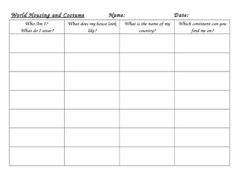
World Housing, Costume, Flag and Continent
This is a little match which students can match nationalities to their flag, housing, and continent. I am sorry for the stereotyping!
*recording sheet
*housing option cards
*children and flag cards
*continent cards
Grades:
K - 3rd
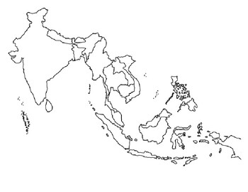
Global/U.S. - Maps Databank - Southeast Asia
11 pages of maps related to the region of Southeast Asia. This databank of maps can be used for a variety of purposes depending on your lesson. Some examples of the types of maps included (but not limited to) are:- Political maps- Physical maps- Blank political maps- Vegetation Zone maps- Climate maps- Precipitation Rate maps- Satellite maps- Economic maps- Wealth / GDP maps- Resource / Land Use maps- Religion / language / ethnicity maps- Population density maps- Flag maps- Historical maps relat
Grades:
1st - 12th, Higher Education, Adult Education, Staff
Types:
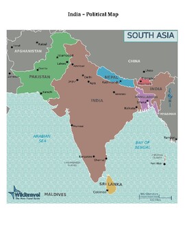
Global/U.S. - Maps Databank - India / Vietnam
15 pages of maps related to the nations of India and Vietnam. This databank of maps can be used for a variety of purposes depending on your lesson. Some examples of the types of maps included (but not limited to) are:- Political maps- Physical maps- Blank political maps- Vegetation Zone maps- Climate maps- Precipitation Rate maps- Satellite maps- Economic maps- Wealth / GDP maps- Resource / Land Use maps- Religion / language / ethnicity maps- Population density maps- Flag maps- Historical maps r
Grades:
1st - 12th, Higher Education, Adult Education, Staff
Types:
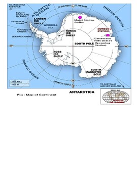
Global/U.S. - Maps Databank - Antarctica
6 pages of maps related to the continent of Antarctica. This databank of maps can be used for a variety of purposes depending on your lesson. Some examples of the types of maps included (but not limited to) are:- Political maps- Physical maps- Blank political maps- Vegetation Zone maps- Climate maps- Precipitation Rate maps- Satellite maps- Economic maps- Wealth / GDP maps- Resource / Land Use maps- Religion / language / ethnicity maps- Population density maps- Flag maps- Historical maps related
Grades:
1st - 12th, Higher Education, Adult Education, Staff
World Country Table Group Labels
Included are 10 countries that can be used for labeling table groups or teaching geography. Countries included: Italy, Spain, Australia, Israel, Egypt, Switzerland, Japan, France, Brazil, and Germany
Grades:
2nd - 6th
Types:
Showing 1-18 of 18 results


