315 results
3rd grade geography projects for Google Apps
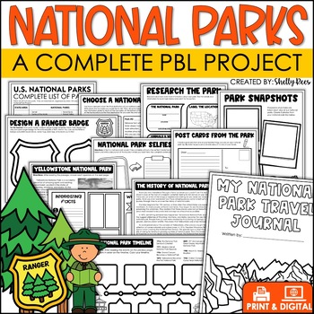
National Parks Research Activities End of Year Project Includes Yellowstone
This Visit a National Park research project will have your students so engaged, they won't want the activity to end! In this unit, students have the opportunity to plan a trip to a National Park, create a road map, write a research article, and so much more! What better way to have students use real-life math, reading, and writing skills than with this fun U.S. National Parks Activity? Now includes nonfiction reading passages and other bonus reading activities!Click HERE to SAVE 25% with the PB
Grades:
3rd - 6th
Types:
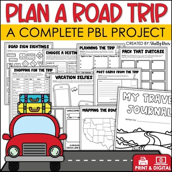
Plan a Road Trip Activities Real World Math Project Travel Brochure Vacation
This real world writing and math Plan a Road Trip project will have your students so engaged, they won't want the activity to end! In this unit, students the have opportunity to plan a trip and persuade others to visit their chosen destination! Now includes a bonus vacation journal and road trip activities!Click HERE to SAVE 25% with the PBL Activities Bundle for the Year!Click the PREVIEW above to see everything included.All of the hard work is done for you. Simply print the NO PREP pages, and
Subjects:
Grades:
3rd - 6th
Types:
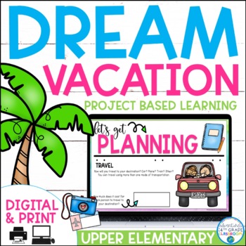
Dream Vacation End of Year Project
Planning a vacation has never been so fun! In this cross-curricular project, students will plan, budget, and journal about their "dream vacation". They will pull skills from math, language arts, and social studies and work with their group members to complete the project.This is a great resource for distance learning and includes an update in which students plan their "dream vacation" for just them (not a small group). In the resource, you will find a 23-page packet to guide students while pla
Subjects:
Grades:
3rd - 6th
Types:
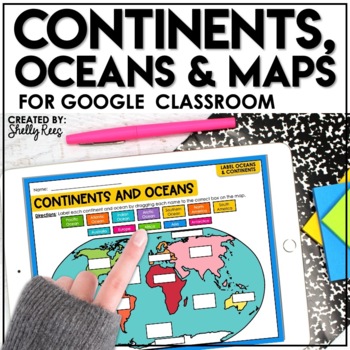
Continents and Oceans Activities for Google Classroom | Types of Maps
Are you looking for a different way to learn and reinforce Continents, Oceans, and Maps? Your students will love these easy-to-use Google Drive Activities! Students can practice and master identifying the continents and oceans of the world and also explore different types of maps by using the provided activities on Google slides. Click HERE to save 20% with the complete Maps, Continents, and Oceans Bundle!This engaging Google Drive resource includes:Continents, Oceans, and Maps Guide (a list of
Grades:
3rd - 6th
Types:
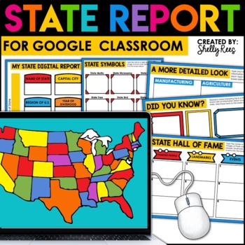
State Research Project | State Report for Google Classroom | 50 States Project
Your students will love completing a state research report with this easy-to-follow digital U.S. State Report Project! Students can research any state and use the provided slides to complete their report. A great option is to print the reports when students are finished to create an eye-catching display for your classroom!Click the PREVIEW button above for a closer look at everything included!This engaging Digital State Report Packet includes:State Research Resource Guide (a list of student-frie
Grades:
3rd - 6th
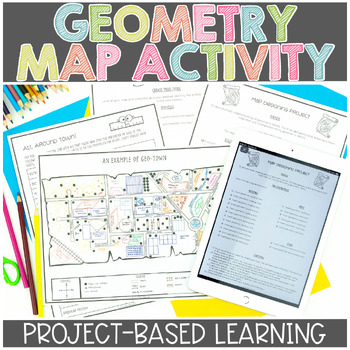
Map Skills | Project Based Learning | Geometry | Printable & Digital | Google
Have your students demonstrate their understanding of many different math concepts while designing a map of their own town! This hands-on math activity is a project that will definitely engage your students.Check out the preview for more details!Objective: To demonstrate an understanding of geometric terms and measurement. Students will be designing and drawing a map that will incorporate many mathematical concepts.The following concepts will be covered through this project-based learning activi
Subjects:
Grades:
2nd - 5th
Also included in: Project Based Math Activities BUNDLE
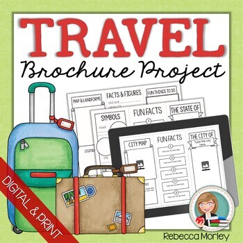
Travel Brochure Research Templates
Guide student research of any city, state, province, territory, or country and help them organize their learning! This packet includes five unique templates as well as an instruction page for each, in both PDF printable and Google Slides™ formats.Click here for only the print version: Travel Brochure Research Template PrintablesClick here for only the digital version: Travel Brochure Research Templates for Google SlidesTemplates include areas for mapping, drawing or pasting images, list making,
Grades:
3rd - 4th
Types:
Also included in: Brochure Research Project Bundle
Country Research Project with Distance Learning Option
Country Research Project to use with ANY country!Updated STUDENT SLIDES as of January 2024!Enhance your classroom's global literacy and research skills with the comprehensive "Country Research Projects" resource. Designed to bridge cultural gaps and foster global awareness, this project is a crucial tool for today’s interconnected world, empowering students to delve into the diverse tapestry of nations that make up our planet.The "Country Research Projects" package is meticulously crafted to cat
Subjects:
Grades:
2nd - 5th
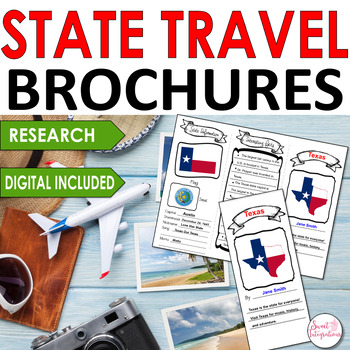
State Travel Brochure Editable Templates: State Research Activity Google Slides
Are you looking for a fun way to present your state research projects? This editable state travel brochure is a great informational text resource to use in presenting a state research project. I've included a front and back trifold template in PowerPoint and Google Slides option. (These can be printed if you do not wish to use computers with the templates. I've also provided state Internet resource websites. Students can add state maps, symbols, interesting facts, sites to see, and information a
Grades:
2nd - 5th
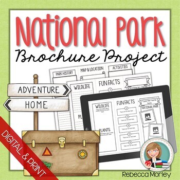
National Parks Research Project Template
Looking for a brochure template for your study of our national parks? Look no further! This packet includes a brochure template as well as instructions in both PDF printable and Google Slides™ formats.For only the printable PDF format, CLICK HERE.For only the digital format, CLICK HERE.Templates include areas for mapping, drawing or pasting images, making lists of fascinating facts, and filling in facts and figures. Use these templates to...... Create brochures for a local national park and trad
Grades:
3rd - 4th
Types:
Also included in: Brochure Research Project Bundle
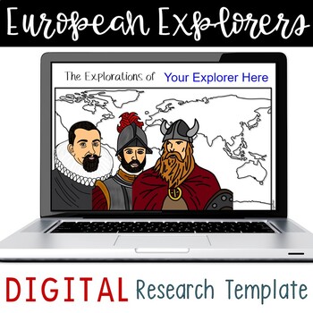
European Explorers Research Template for Google Slides™
Use these research templates to enhance your students' understanding of the Age of Exploration (with a few Vikings thrown in for good measure). Includes resource pages for seventeen explorers and two blank templates to add explorers of your choice. Also includes a map for students to identify each explorer's route. All resources are available on Google Drive and saved in multiple formats to provide flexibility when assigning to students. Explorers include: Amerigo VespucciVasco Nunez de BalboaJo
Subjects:
Grades:
3rd - 6th
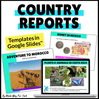
Country Research Project | Country Reports Graphic Organizer Template Digital
Choose from 60 beautifully designed (and EDITABLE) country research report slides for your country writing projects. Create the exact presentation you want for your students but customizing any of the slides to fit your needs. Students will use the slides to share all about a country they researched while working with all sorts of text features (headings, table of contents, photos, captions, fun facts, bold words, glossary, and more).Want more report templates for the year? Click here for the BU
Subjects:
Grades:
2nd - 8th
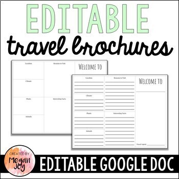
Editable Travel Brochure
Editable Travel BrochureUse this two-sided Travel Brochure Template as a versatile way for students to demonstrate their research and learning about specific places such as cities, states, countries, or biomes. Parts of the brochure include a cover page with space for illustrating, and headings for drawing and/or writing about the location, climate, plant and animal life, reasons to visit, interesting facts, historical background, famous landmarks, and activities.This file is an editable Google
Subjects:
Grades:
2nd - 8th
Types:
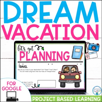
Plan a Dream Vacation: Project Based Learning | For Google Slides™
Planning a vacation has never been so fun! In this cross-curricular project, students will plan, budget, and journal about their "dream vacation". They will pull skills from math, language arts, and social studies and work with their group members to complete the project.Looking for both printable and digital versions of this resource? Save by grabbing the bundle today!In the digital resource, you will find 31 slides to guide students while planning their “dream vacation” in the United States.
Subjects:
Grades:
3rd - 5th
Types:
Also included in: Dream Vacation End of Year Project
State Report Template Digital Research Project
Create student friendly digital research reports for each of the 50 states! Incorporating technology helps students create bright attractive presentations that can be updated as they learn new information. Included in this resource are 51 digital files (one for each state and a bonus blank template)! The separate files make it easy to assign to students. Each state file contains:Slide 1: State Facts (Different page for each state)Slide 2: GeographySlide 3: Climate and WeatherSlide 4: Native Pl
Subjects:
Grades:
3rd - 6th
Also included in: Digital U.S. States and Capitals Activity Bundle
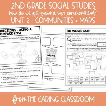
2nd Grade Social Studies Curriculum Unit 2: Communities & Maps
Overview:*Update: this now includes a MODIFIED and ACCOMMODATED version for students who need extra supports - with special education students on modified curriculum in mind!*This curriculum has been designed with 2nd graders in mind! These engaging and hands-on lessons will get your students excited about Social Studies again! A little bit about my background in this unit: my emphasis in undergrad was on History and I have been a social sciences nerd since the sixth grade!This unit starts with
Grades:
1st - 3rd
Types:
Also included in: 2nd Grade Social Studies Curriculum GROWING BUNDLE
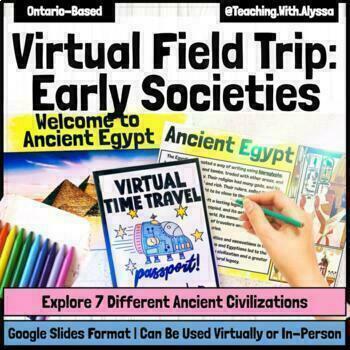
Fun Early Societies Virtual Field Trip | Ancient Civilizations Passport Project
Embark on an extraordinary virtual adventure through Ancient Times! A FUN and ENGAGING way to teach your students about a variety of early societies! This activity transcends traditional learning boundaries, providing students with a dynamic and unique learning opportunity that is sure to be engaging and fun! This activity is a Google Slides activity.This Early Societies (or Ancient Civilizations) activity is a LOW PREP activity that can be done VIRTUALLY or IN-PERSON! Students create a passport
Grades:
3rd - 6th
Types:
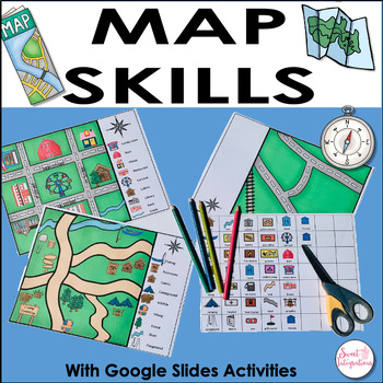
Reading a Map and Map Skills Activities - Including Google Slides™ - 3rd Grade
For a fun way to help your students learn how to read maps and legends, this hands-on Map Skills unit is for you! Students can even design their own neighborhood map with symbols. I've also provided Google Slides so students can collaborate to find additional symbols for their maps. This unit incorporates map skills, cooperative learning, technology skills, differentiation, and creativity. Questions are included for three of the map activities. Plus, your students will love the hands-on map acti
Subjects:
Grades:
3rd - 4th
Types:
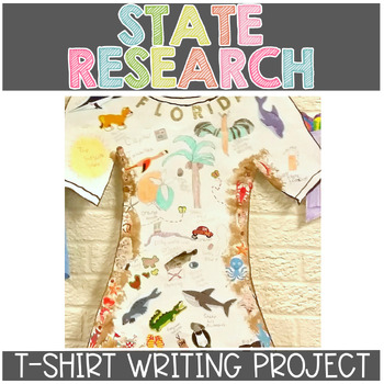
State Research Writing Project | State Report
How would you like to teach state history in a new and engaging way? Your students will research an assigned state, write an informational piece about it, and then create a t-shirt themed on the state they researched! If you'd like to take the project even further, I've added a component for creating a PowerPoint and implementing technology!Check out the preview for details!This Product Covers:--Lesson plans that cover the following:✓ Researching and taking notes (including citing sources and pa
Grades:
2nd - 5th
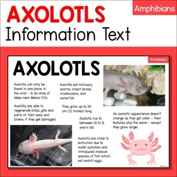
Axolotl Animal Fact Sheet - Habitat, Diet, Features, Size etc - Amphibian
Want your students to research animals without getting overwhelmed by long, challenging texts? This one-page Axolotl information text has information about the Axolotl’s diet, habitat, physical characteristics, behavior, and more. It also includes pictures to break up the text and support understanding. It is great for students in 1st-3rd Grades or for older English language learners.This Axolotl information text is part of a 10-text Amphibians Information Report bundle and a 60-text Animal Read
Subjects:
Grades:
1st - 3rd
Identifying States and Capitals - Digital
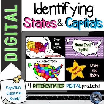
Four digital products help your students learn to identify all 50 states on a map and name the capital of each state. Included with this resource are two drag and label digital files. These versions are great for beginners. Students drag state names and capitals for the five geographic regions of the United States (West, Southwest, Midwest, Southeast, and Northeast).Also included are two text to label files. Using these, students label states on a map by writing the name of an identified state.
Grades:
3rd - 6th
Types:
Also included in: Digital U.S. States and Capitals Activity Bundle
Regions of the United States Digital Research Project BUNDLE
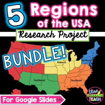
Save 20% by purchasing this Google Slides™ digital research project BUNDLE, which covers all five regions of the USA. Students use pre-made templates to record everything they learn about the regions including major landforms, bodies of water, climate, natural resources, and much more! All you need for this NO PREP digital Google Slides™ project is a Google™ account! Works well in third, fourth, or fifth grades. This Resource Includes 5 Products:The Northeast RegionThe Southeast RegionThe South
Grades:
2nd - 5th
DIGITAL Me On the Map USA VERSION - DISTANCE ED INTERACTIVE SLIDES
If you like the commonly used “Me On The Map” Social Studies activity, you’re going to love this! Your students can work through this interactive google slide from home during distance learning PLUS you can add it to your regularly scheduled programming in the future as an alternative way for your students to complete their work.==============================================================INCLUDED IN YOUR PURCHASE:Interactive slides to help your students understand their place on the map.MeMy H
Grades:
1st - 3rd
Types:
Interactive Map of the United States for Google Drive
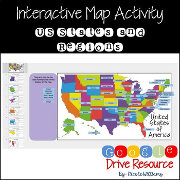
This product contains an Interactive United States Map Activity, in which students can manipulate state names to label and identify correct locations on a map. Students are also able to use the template to research different regions from the U.S. to describe and list key information about the geography, climate, natural resources, and economy of those areas. It is formatted to work with Google Slides and Google Classroom.
Why use Google Classroom?
Google Classroom is a great resource that red
Showing 1-24 of 315 results


