13 results
3rd grade geography project interactive whiteboards
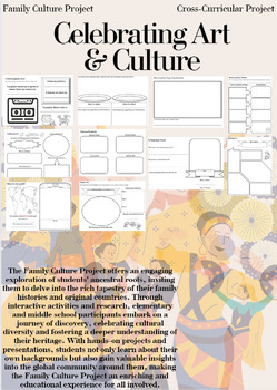
Family Culture Project: Activities, Resources, Google Slides and Lessons
The Family Culture Project offers an engaging exploration of students' ancestral roots, inviting them to delve into the rich tapestry of their family histories and original countries. Through interactive activities and research, elementary and middle school participants embark on a journey of discovery, celebrating cultural diversity and fostering a deeper understanding of their heritage. With hands-on projects and presentations, students not only learn about their own backgrounds but also gain
Subjects:
Grades:
1st - 8th
Types:
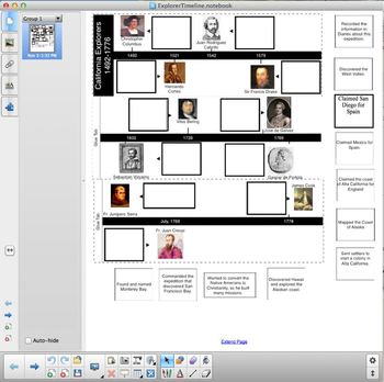
California Explorers Timeline
This hand-out is a cut and paste activity. It covers CA History standards 4.2.2 and 4.2.3. Students cut out descriptions of various European explorers and paste them into a timeline. Explorers include: Christopher Columbus, Hernado Cortes, Juan Rodriguez Cabrillo, Sir Francis Drake, Sebastian Vizcaino, Vitus Bering, Gaspar de Portola, Junipero Serra, and James Cook.
Included with download is a PDF for the cut and paste activity and a Notebook file that can be displayed using a projector or a
Subjects:
Grades:
3rd - 5th
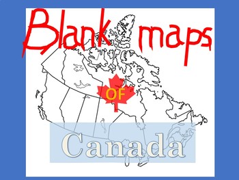
Blank Maps of Canada
PDF files in landscape and portrait.Versatile and useful in numerous waysIncludes maps with and without provinces labeledYou may also like:New French Regions maps of FranceBlank maps of Mexico
Subjects:
Grades:
3rd - 11th
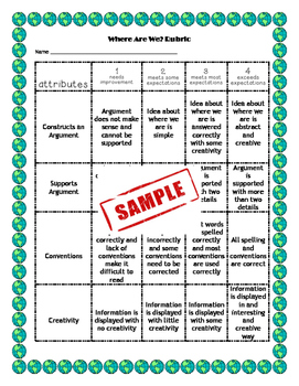
EngageNY NYS Social Studies Grade 3 Inquiry 1 Geography
This is the first Social Studies Grade 3 Inquiry from EngageNY. The unit begins with a compelling question and a rubric I have created for the culminating project. The Smart Notebook file includes links to the recommended videos and websites. I have also included worksheets I have created for students to record answers to formative tasks. The unit follows the Project Based Learning model. All of the work of trying to understand and plan the Social Studies Inquiry has been done for you!
Grades:
3rd
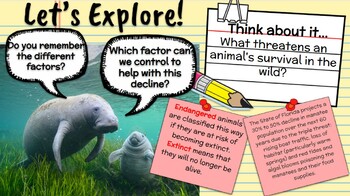
Virtual Road Trip of Zoos and Aquariums in the U.S.A.
This virtual road trip will take students to 6 different zoos and aquariums across the United States. The road trip starts in Monterey Bay (Aquarium) and goes to San Diego Zoo, the Seattle Aquarium, the Denver Zoo, the Georgia Aquarium before ending in Apollo Beach, FL at the Manatee Viewing center. Through each trip students are exposed to various science skills and concepts through exploration, research, discussion and vocabulary. Below is a breakdown of the focus of each area. Monterey Ba
Subjects:
Grades:
2nd - 6th
NGSS:
4-LS1-1
, MS-LS2-2
, 5-LS2-1
, 3-LS2-1
, 3-LS4-3
...
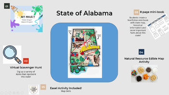
Learn about Alabama (mini book, scavenger hunt, projects and map skills)
Learn about the great state of Alabama with an 8-page mini book, virtual scavenger hunt, a fun artistic project and an edible state resource map! Easel activity included for students to practice their map skills.
Subjects:
Grades:
2nd - 8th
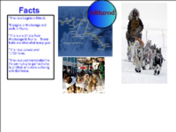
All About Alaska
I created this SMART Board Lesson to go along with a mapping activity for our Cold Lands Unit which focussed on Alaska and Antarctica. We followed the SMART Board slides to see real pictures and learn about specific areas in Alaska. Then, my students got together in small groups to find these areas on their own Alaskan maps. After they found each item, they filled in their own Alaskan map including their key. This was very beneficial to my students and increased their excitment about Alaska.
Subjects:
Grades:
1st - 3rd

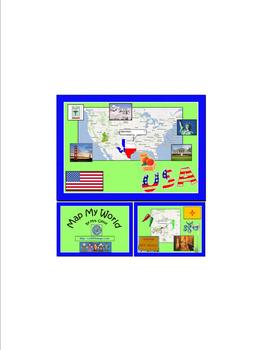
Map My World Incorporating Computer Technology
This computer technology project is great for Powerpoint, Publisher, or KidPix. It is a good way to introduce Social Studies while teaching students how to insert clip art, insert text box, word art, etc. I read Me on the Map with my students prior to doing this in the computer lab.
Subjects:
Grades:
1st - 3rd
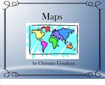
Maps Unit - SMARTboard, Notes, Quiz & Project
This is a mini-unit that I have created for my 4th grade Social Studies class. It would be appropriate for grades 3-9. The unit includes...
***Instructional SMARTboard lesson
***Notes page
***Quiz
**Project.
*The SMARTboard lesson is a 15 page instructional lesson that includes interactive parts and video links.
It covers the following topics:
-Types of Maps: Political Maps, Physical Maps, Thematic Maps, Historical Maps, Road Maps, & Weather Maps
-Map Parts: Map Key, Map Scale, Sy
Subjects:
Grades:
3rd - 9th
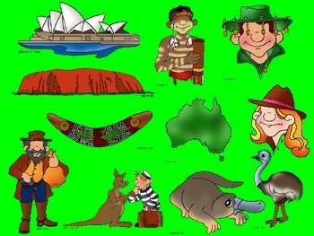
Australian States and Territories PowerPoint
Use the images provided to make a PowerPoint Presentation about Australia.
Students copy, paste and sort images according to the state and territory they belong to.
Students can then add action buttons to make an interactive PowerPoint.
Subjects:
Grades:
3rd - 5th

Map Parts SmartBoard Lesson and Activity
This purchase includes a SmartBoard lesson for map parts and a follow up activity/project (rubric provided) that requires students to create a unique map including the parts presented. The lesson also includes an interactive review. Can be used as a review or to introduce map parts.
Subjects:
Grades:
2nd - 5th
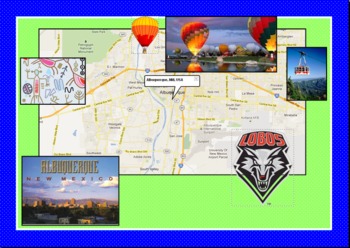
Map My World
This computer technology project is great for Powerpoint, Publisher, or KidPix. It is a good way to introduce Social Studies while teaching students how to insert clip art, insert text box, word art, etc. I read Me on the Map with my students prior to doing this in the computer lab.
Subjects:
Grades:
1st - 3rd
Showing 1-13 of 13 results


