1,067 results
1st grade geography handouts
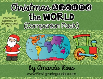
Christmas Around the World Interactive Slideshow or Informational Text
This is a companion pack to my best-selling "Christmas Around the World Scrapbook & Craft Pack".**Updated Sept. 12/16 -- slideshow is now 87 pages with 20 countries, including other winter holidays such as Kwanzaa, Diwali, and Hanukkah.**Updated Dec. 12/16 -- added an editable version of the slideshow pages so you may add your own countries. I will not be adding any more countries to the pack.**Updated Nov. 30/20 -- added a folder with separate PowerPoints for each country, to help with dist
Grades:
K - 3rd
Types:
Also included in: Christmas Around the World Bundle
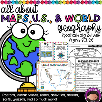
US Geography and Continent Bundle (SOL 2.6)
This is a huge bundle!! This was specifically created to address the needs of SOL 2.6 . This has practically everything you need to teach this unit. This packet includes:Pages 6-17: Vocabulary Cards (2 versions-whole page & 1/4 page)Pages 18-20: Map Parts foldablePage 21: Parts of a Map notesPages 22-30: Parts of a map match (3 versions included)Pages 31-32: Parts of a Map Cloze SentencesPage 33: Compass Rose Exit TicketPages 34-35: Map Scavenger Hunt-Directions: 1) Group students 2) Give ea
Subjects:
Grades:
1st - 3rd
Types:
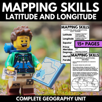
Mapping Skills And Activities - Latitude Longitude Maps and Globes - Geography
Mapping Skills and Activities for Geography featuring Latitude and Longitude! For these geography activities, students practice mapping skills while learning about latitude and longitude in a fun and engaging way. A variety of fun mapping activities are included - use these latitude and longitude activities for your upcoming geography unit or mapping unit! The included activities would make a great addition to a geography interactive notebook!This activity includes the following latitude and lon
Grades:
1st - 4th
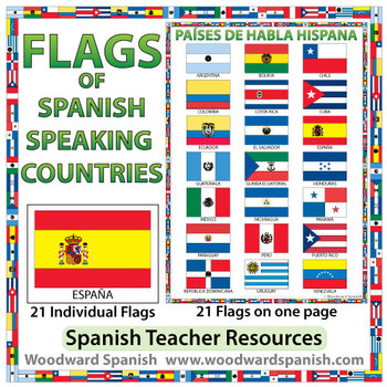
Flags of Spanish-speaking Countries
Flags of the 21 Spanish-speaking countries.
These flags are perfect for decorating the Spanish classroom. You may also want to laminate the flags and use them as large flashcards.
There are 21 individual flags of the following Spanish-speaking countries: Argentina, Bolivia, Chile, Colombia, Costa Rica, Cuba, Ecuador, El Salvador, España, Guatemala, Guinea Ecuatorial, Honduras, México, Nicaragua, Panamá, Paraguay, Perú, Puerto Rico, República Dominicana, Uruguay, Venezuela.
Each flag is on its
Subjects:
Grades:
1st - 12th, Adult Education
Also included in: Spanish Bundle – Spanish-speaking Countries and Capitals
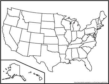
Blank United States Maps (Four map versions with Quiz)
Hi there! This file contains four maps of the United States of America: a blank mapa blank map with stars for the capitalsa blank map with states numbered in order of statehooda larger map (two-page spread) with stars for the capitalsAlso included is a fill-in sheet (quiz) for students to name the numbered states and an answer key. Thank you for shopping with "Learning With Kiwi" and happy learning!
Subjects:
Grades:
K - 8th
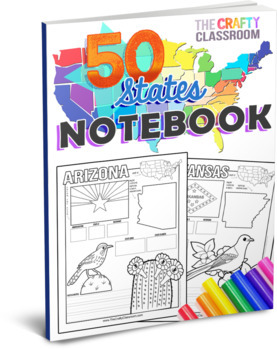
50 State Activity Pages
50 State Activity Pages to help your students learn how to map the location, capital, nickname, state flower, state bird, landmarks, and abbreviations of each state! Designed for multiple ages, K-5, and abilities, your students will write key details about each of the 50 states while exercising important skills such as writing, drawing, researching facts, and mapping each state of the union. These fun-filled, hands-on worksheets include no-prep journal pages and cover multiple subjects such as g
Grades:
K - 5th
Types:
Also included in: U.S.A. Activity Bundle: 50 State Teaching Resources
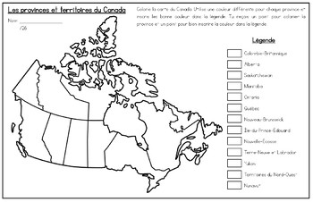
French Map of Canada and Capitals - La carte du Canada et les capitales
Includes two French maps of Canada so your students can learn the provinces, territories and capitals of Canada.Map one teaches students the location and names of all the provinces and territories of Canada. Map two teaches students the provincial and territorial capitals of Canada. Perfect for visual learners! Sized for Tabloid paper (11x17) but can be printed on regular printer size as well.Perfect for FSL, immersion or francophone students!Also available in English: Map of Canada and Capitals
Subjects:
Grades:
1st - 6th
Types:
2nd Grade Mapping Unit
A hands-on unit to teach mapping in 2nd grade. It covers reading maps, landforms, bodies of water and constructing maps! There are many hands-on and engaging activities to go with each concept. Why will these lessons help your students grow?Engagement- Your students will LOVE making maps, learning about maps, and doing tons of research! Research- Your students will work on researching skills throughout the lessons.Low Prep- All you have to do is print and let the kids do the rest!What’s Include
Subjects:
Grades:
1st - 3rd
Types:
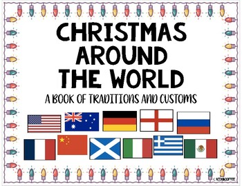
Christmas Around The World Packet {10 Countries + Worksheets}
Learn how these eleven countries around the world celebrate Christmas! The countries that are included in the packet are: Australia, USA, China, England, France, Germany, Greece, Italy, Mexico, Russia, and Scotland. Also included is a blank venn diagram and a writing space to describe their Christmas tradition. There is a writing page for K-2 primary kids and the upper grades.Each page includes the map of the country and the flag. It also includes how to say Merry Christmas in each language as w
Grades:
PreK - 8th
Types:
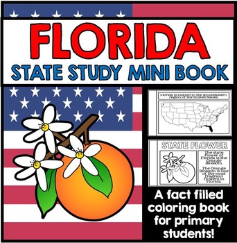
Florida State Study - Facts and Information about Florida
{Florida, Florida State Study, Florida Study, Florida Research, Florida Mini Book, Florida Project, Florida Activity, Florida Unit, All About Florida, Florida State Symbols}
This 27 Page Florida State Study Mini Book is a great way to teach primary grade students all about Florida. Perfect for your Florida unit, this state study mini book contains information about Florida state symbols, as well as other key information and details all about Florida. This state study mini book works well for
Grades:
1st - 2nd
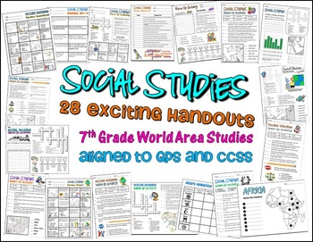
Bundle of 28 Worksheets for 7th Grade Social Studies GPS Georgia
This is a HUGE lot of fun and engaging handouts for students to use in reviewing key information. Included in this package are 28 individual activities, including puzzles, maps, fill-in-the-blank sections, word searches, matching, etc. Most of these items were created to help students review for the end of year test, so they cover a variety of topics and standards.
This is a great way to get your students excited about social studies. I use most of these resources as warm up and closing activi
Grades:
PreK - 12th, Higher Education, Adult Education, Staff
Types:
Social Studies Assessments 1-2 Grade
These assessments are given to first grade-second grade students to determine how well each student has mastered each unit. Assessments are aligned to the new Essential Standards for Social Studies and reinforce teaching the standards to their intended level. (Maps, Constitution Day, Goods and Services, Community Helpers, Florida, Map key, Map Legend, Timeline, Holidays, Continents and Oceans, Symbols of Our Country, United States Flag, Branches of Government, Needs and Wants)There are 13 Social
Grades:
1st - 4th
Types:
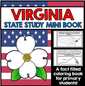
Virginia State Study Booklet - Virginia Facts and Information
Virginia State Study Booklet - Virginia Facts and Information for Primary Students
This 27 Page Virginia State Study Mini Book Project is a great way to introduce primary grade students to the state of Virginia. This state study project contains key information and details all about Virginia; students learn about Virginia state symbols, and a variety of important facts and figures about the state. The pages of this booklet are presented in graphic organizer format, and is great for class res
Grades:
1st - 2nd
Types of Communities Presentation
This presentation is a great way to begin your unit on the types of communities! It describes all three types of communities (Urban, Rural, and Suburban). Some of the things that it includes about each type of community are:• Amount of people that live in each • Types of buildings found in each• Types of transportation used in each • Types of homes found in eachThis presentation also helps to start conversations in your classroom about how the communities are alike and how they are different.The
Subjects:
Grades:
1st - 4th
Also included in: Types of Communities BUNDLE | Print and Digital
Globe and Map Unit - Digital Option Included!
Need to teach maps and globes but don't know where to start? Look no further than this 80+ page unit, complete with vocabulary cards, comprehension sheets, literature ties, crafts, and assessments! Some have been converted into Google Slides!What’s Included:Vocabulary Cards for Lamination and Version for Student NotebooksVocabulary Cards with DefinitionsVocabulary Cards for Student NotebooksGlobe and Map Prior Knowledge Cardinal Directions Worksheet and for student notebookUsing Cardinal Direct
Subjects:
Grades:
1st - 4th
Types:
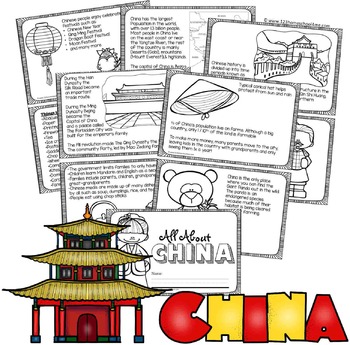
China Facts Book for Kids
Kids will have learning about China as they read and color their very own book. There are 2 book styles: lots on informative text (2nd-6th grade) and simple text with traceable key words (PreK-1st grade).
NO PREP! Just print in black and white, cut in half, and staple. Includes both a boy and girl cover.
Pages Included:
- Map (including population, Yangtze River, Gobi Desert, Mount Everest, and capital Beijing)
- Flag (language and alphabet)
- Great Wall of China
- The
Subjects:
Grades:
PreK - 5th
Types:
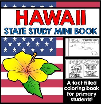
Hawaii State Study - Facts and Information about Hawaii
{Hawaii, Hawaii State Study, Hawaii Study, Hawaii Mini Book, Hawaii Project, Hawaii Activities, Hawaii Research, All About Hawaii, Hawaii Unit, Hawaii State Symbols}
This 28 Page Hawaii State Study Mini Book is a great way to teach primary grade students all about Hawaii. Perfect for your Hawaii unit, this state study mini book contains information on Hawaii state symbols, as well as other key information and details all about Hawaii. This state study mini book works well for a whole class ac
Grades:
1st - 2nd
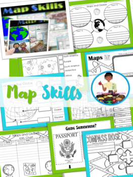
Map Skills Unit | Maps and Globes Activities | Types of Maps
Maps and Globes: If you are studying maps and globes, or maybe you just need a review, then these activities will fit right into your lessons.These activities can be implemented in whole group during a map skills study. Answer Key : IncludedSocial Studies Standards: SS.1.G.1.2; SS.1.G.1.4; SS.1.G.1.5; SS.1.G.1.6-Map & Globe Fact Web-Map & globe overview-What is a map? What is a globe?-Maps & Globes Reading Comprehension-Maps and Globes KWL-Labeling the globe (Cut & Paste)-Maps &a
Subjects:
Grades:
K - 2nd
Types:
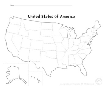
Blank Map Of The USA
This PDF file is a blank map of the USA. Use this to learn states, capitals, cities, landmarks, mountains, rivers, oceans, etc.
Enjoy!
Subjects:
Grades:
PreK - 12th
Types:
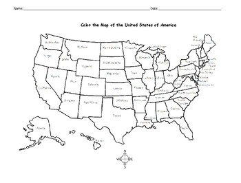
Map of the USA Printable Coloring Page
Print and color the map of the United States! Includes all 50 states to color and learn. One printable coloring page. Print and go!You may also be interested in: 5 REGIONS OF THE UNITED STATES WORD SEARCH PUZZLESWould you like to introduce your learners to each state of the USA? Introduce one state at a time with a printable worksheet for each state! Includes flag, simple map activity, state bird, state flower, reading comprehension questions. Answer keys included. Each state worksheet available
Subjects:
Grades:
1st - 3rd
Types:
Maps and Globes TEKs 2.5A, 2.5B, 2.6A, 2.6B
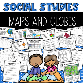
Set Includes color and black/white copies:Miniposters for globe, map, key, and compass roseUsing a Globe activityComparing maps and globes venn diagram My Neighborhood Map with questions Create your own mapWhat is a Continent?Continent SongIdentifying Continents and Oceans flipbookFinding North America on the MapWhat is a Country?Identifying the USA, Canada, and MexicoQuestions related to mapWhat is a State?Finding Texas on the MapIdentifying surrounding states and questionsTexas CitiesMy Place
Subjects:
Grades:
1st - 3rd
Also included in: Social Studies Bundle
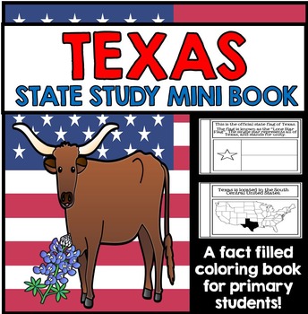
Texas State Study Booklet - Texas Facts and Information
Texas State Study Booklet - Texas Facts and Information for Primary Students
This 26 Page Texas State Study Mini Book is a great way to introduce primary grade students to the state of Texas. It contains key information and details all about Texas; students learn about important Texas state symbols and other important facts and figures about the state of Texas. Perfect for your Texas unit, this mini book works well for a whole class activity, or can be used along with a variety of different s
Grades:
1st - 2nd
Yo en el mapa (Me On The Map SPANISH)
¡Hola!
Here is an unit that is perfect for teaching your kiddos about the world that they live in. It goes with the book "Me on the Map."
What's included on the unit:
-page toppers (girl and boy)
-tabbed book for planet, continents, country, state, city, street, house, and the last page is for them to draw themselves. There's two version of this book, one that has accompanying clip art and one that is blank (clip art is included separately).
-There is also clipart of every state (2 to a page)
Subjects:
Grades:
K - 3rd
Types:
Natural Disaster Activities and Assessments
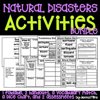
This download includes:-a flip book on 5 natural disaster (hurricane, tornado, blizzard, flood, earthquake)-definitions to cut out and to glue inside the flip book-"Draw it!" hand out-"Explain it!" hand out-Vocabulary match up (words, definitions, and a blank grid for matching)-Vocabulary puzzel match up-Natural disaster vocabulary rolls (One sheet with the word and one sheet with the definition)-Draw the disaster hand out-Tornado in a bottle hand out-Where does this happen? hand out-Assessment:
Grades:
K - 6th
Showing 1-24 of 1,067 results


