2,290 results
1st grade geography homeschool curricula
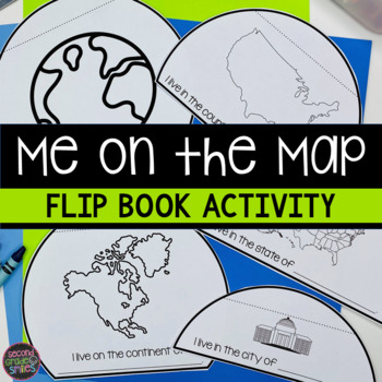
Me on the Map Flip Book - Map Skills Geography Activity
This Me on the Map flip book is the perfect easy-prep project to accompany the book Me on the Map by Joan Sweeney or any beginner map study. Students will identify the planet, continent, country, state, and city or town they live in and begin to understand the relative sizes of each.Prep is simple! Copy a set of the included booklet pages for each student. Students write in the missing words, cut out each semi-circles, and stack them from smallest to largest. Staple the top to complete the fl
Subjects:
Grades:
1st - 3rd
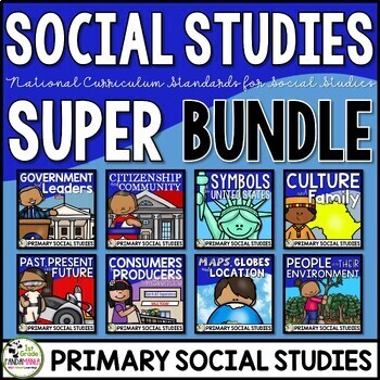
Social Studies Curriculum & Units Bundle for 1st and 2nd Grades
Social Studies Units US SymbolsGood Citizenship and CommunityGovernment and LeadersPast, Present, and FutureCulture and Family Maps, Globes, and Location People and Environmental Interaction Economy Producers and Consumers A 1st Grade and 2nd Grade comprehensive bundle of eight engaging social science curriculum units aligned with the national civics, economics, history, culture, and geography standards. It includes the topics of government, leaders, US
Subjects:
Grades:
1st - 2nd
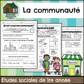
La communauté cahier (Grade 1 FRENCH Social Studies)
This FRENCH workbook covers the Grade 1 The Local Community unit in the NEW 2023 Ontario Social Studies curriculum (People and Environments).Ce cahier d'exercices couvre l'unité La communauté de la 1re année du programme d'études sociales de l'Ontario 2023 (Communauté et environnement).The workbook covers various topics related to the local community, including traditional territory, natural and built features, community history, community services, emergency services, waste management, green sp
Subjects:
Grades:
1st
Also included in: MEGA BUNDLE: Grade 1 Ontario FRENCH Social Studies Full Units
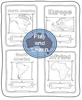
Continents Bundle - Maps and Flags for every country of the world
The Continents Bundle includes 196 Countries (some countries are in two continents): 12 Countries in South America; 50 Countries in Europe; 23 Countries in Northern America; 14 Countries in Oceania; 48 Countries in Asia and 55 Countries in Africa; 5 Oceans in the World and Antarctica and the 50 countries that have signed the Antarctic Treaty
*** Save $$$ with this bundle ***
Free preview is France, please download it and see if you like it, all the country pages look similar to this.
This Bun
Subjects:
Grades:
1st - 4th
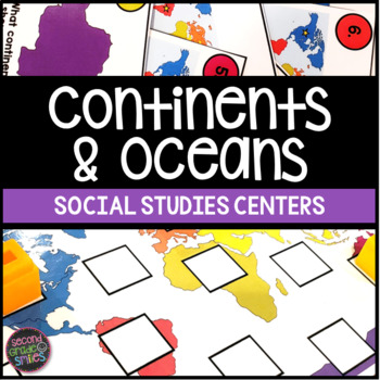
Continents & Oceans Activities - Continents & Oceans Centers - Geography Centers
This continents and oceans resource includes four hands-on center activities perfect for students to practice identifying the seven continents and five major oceans. Here’s what you’ll find inside:Continents & Oceans Playdough Mats – Students will follow the directions on each mat to say and trace each continent’s name, form the shape of the continent with playdough, say and write the continent’s name, and circle the continent on the world map. Great for multi-sensory practice and easy to pr
Subjects:
Grades:
1st - 3rd
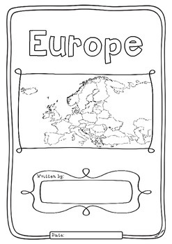
Europe 50 Countries Study - worksheets with maps and flags for each country
Kids love flags! As they colour in the flags they can learn about the countries the flags belong to and make their very own geography book about the 50 countries in the continent of Europe. One country per page with its flag and map to colour in and information to research: Capital City, Language Spoken, Population, Land Area, Religion and Interesting Facts. An additional page is provided for those who wish to add to their interesting facts.
Free Preview is the worksheet for France - each c
Subjects:
Grades:
1st - 4th
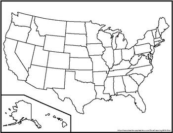
Blank United States Maps (Four map versions with Quiz)
Hi there! This file contains four maps of the United States of America: a blank mapa blank map with stars for the capitalsa blank map with states numbered in order of statehooda larger map (two-page spread) with stars for the capitalsAlso included is a fill-in sheet (quiz) for students to name the numbered states and an answer key. Thank you for shopping with "Learning With Kiwi" and happy learning!
Subjects:
Grades:
K - 8th
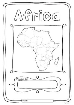
Africa 55 Countries Study - worksheets with maps and flags for each country
Kids love flags! As they colour in the flags they can learn about the countries the flags belong to and make their very own geography book about the 55 countries in the continent of Africa. One country per page with its flag and map to colour in and information to research: Capital City, Language Spoken, Population, Land Area, Currency, Religion and Interesting Facts. An additional page is provided for those who wish to add to their interesting facts.
Free Preview is the worksheet for South Afr
Subjects:
Grades:
1st - 4th
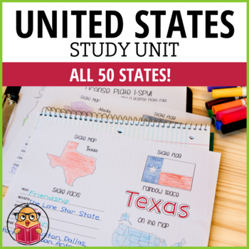
United States Geography Worksheets
Let Your Students Have Fun As They Study The States!Looking for a way to learn more about the different states in America? Then check out these United States Worksheets! This packet has one sheet for each state, with key information like the state motto, nickname, abbreviation, capital, and popular cities. So whether you're looking to brush up on your geography or just want to learn more about America's history and culture, these worksheets are a great resource. Get started learning today!*This
Subjects:
Grades:
1st - 6th
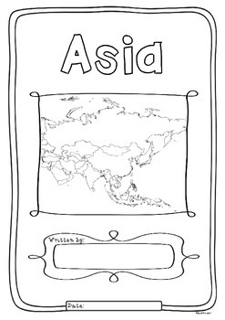
Asia 48 Countries Study - worksheets with maps and flags for each country
Kids love flags! As they colour in the flags they can learn about the countries the flags belong to and make their very own geography book about the 48 countries in the continent of Asia. One country per page with its flag and map to colour in and information to research: Capital City, Language Spoken, Population, Land Area, Currency, Religion and Interesting Facts. An additional page is provided for those who wish to add to their interesting facts.
Free Preview is the worksheet for Myanmar - e
Subjects:
Grades:
1st - 4th
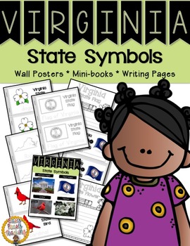
Virginia State Symbols Notebook
The Virginia symbols included in this notebook are: the capital, the state flag, state bird, and state flower.
This set includes links to learn about each symbol. Wall charts are included with real photos so your children will have a better understanding of how the symbols look. The mini-books which are included have a picture of the symbols, as well as, tracing so the children can become familiar with spelling, as many of the words will be new to them. The mini-books are available in both col
Grades:
PreK - 1st
Also included in: Virginia Bundle - Three Sets of Lesson Helps
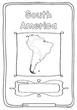
South America 12 Countries Study - worksheets flags and maps for each country
Kids love flags! As they colour in the flags they can learn about the countries the flags belong to and make their very own geography book about the 12 countries in the continent of South America. One country per page with its flag and map to colour in and information to research: Capital City, Language Spoken, Population, Land Area, Currency, Religion and Interesting Facts. An additional page is provided for those who wish to add to their interesting facts.
Free Preview is the worksheet for Ar
Subjects:
Grades:
1st - 4th
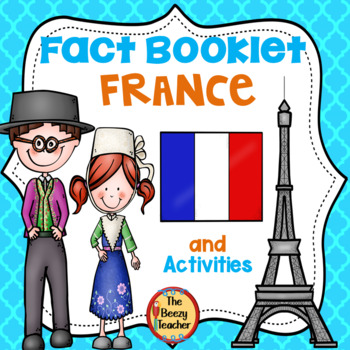
France Fact Booklet and Activities | Nonfiction | Comprehension | Craft
France - the smell of warm croissants and Eiffel Tower! Your kids will have a fantastic time learning about French traditions. Engaging activities with a French flair are included in this fact booklet!This fact booklet on France is a great resource to use for a research project on countries around the world/Europe with your pre-k/kindergarten class and struggling first graders. Included in this product is a black and white informational book about France that can be used for independent reading
Subjects:
Grades:
PreK - 1st
Also included in: Countries Fact Booklet Bundle | Crafts | Comprehension | Writing
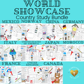
EPCOT's World Showcase Complete Country Study Unit Bundle - 11 week unit
This bundle includes country studies on the 11 countries in the World Showcase at EPCOT at Walt Disney World. Each country study is designed to last for 4 days, with daily lessons lasting for 20-30 minutes each. Day 5 is a self guided wrap up day with some movie suggestions or additional research time. Weekly lessons follow the same routine with each country.Map coloring page (students will keep one world map throughout the unit to find & color each new country on.) Fact sheet about the coun
Subjects:
Grades:
K - 3rd
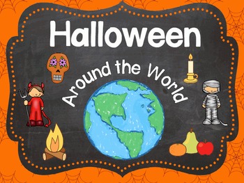
Halloween Around the World
Super fun and informative activities to acquaint children with the customs of Halloween in other countries. Each country comes with the information sheet, a cut and paste activity, and an activity to draw a line from where you live to that country. There are 13 countries total.
If you're interested in other geography activities, visit this link:
http://www.teacherspayteachers.com/Store/Wise-Little-Owls/Category/Geography-Jumpers
Subjects:
Grades:
PreK - 2nd
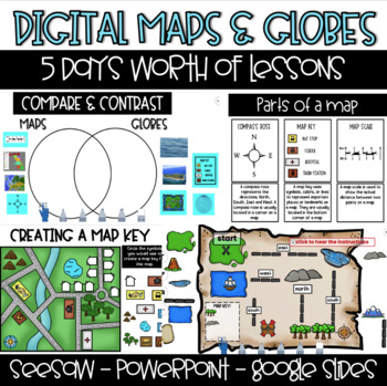
Digital Maps & Globes - Seesaw - Google Slides -PowerPoint
This product is 100% DIGITAL & INTERACTIVE. You will have access to FIVE preloaded Seesaw Activities, FIVE Google Slides Lessons & PowerPoint. Day 1: Maps & Globesstudents will learn the difference between maps & globesstudents will compare maps & globesDay 2: Map Featuresstudents will learn about the compass rose, map key and map scalestudents will identify the map features on a variety of mapsDay 3: Compass Rosestudents will learn the cardinal directionsstudents will build
Subjects:
Grades:
1st - 2nd
Types:

Geography Jumpers: Kenya
COMPLETELY UPDATED AND RENOVATED JUNE 2016!
This unit explores the country, the continent it's located in, it's flag, and many other facts, including its culture and what school is like there. This is one unit in a series that includes 25 countries.
This series is perfect for preschoolers, Pre-K, Kindergarten, first grade, and second grade.
Items included:
Fact Sheet
Photo cards
Word wall cards
Country Poster
Flag Poster
All About Kenya info book
I Saw Kenya emergent reader
Research Report
G
Subjects:
Grades:
PreK - 2nd
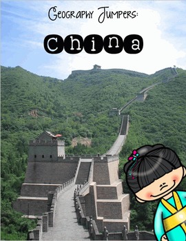
Geography Jumpers: China
COMPLETELY UPDATED AND RENOVATED JUNE 2016!
This unit explores the country, the continent it's located in, it's flag, and many other facts, including its culture and what school is like there. This is one unit in a series that includes 25 countries.
This series is perfect for preschoolers, Pre-K, Kindergarten, first grade, and second grade.
Items included:
Fact Sheet
Photo cards
Word wall cards
Country Poster
Flag Poster
All About China info book
Here is China emergent reader
Research Report
Subjects:
Grades:
PreK - 2nd
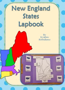
US Geography New England States Lapbook
This New England States Lapbook is one of a kind! It's doesn't have page after page of blank inserts. ALL the inserts already have information in them for your students to read, learn, and review as they complete this project.
This Lapbook includes matchbooks for 6 New England States:
Maine, New Hampshire, Vermont, Rhode Island, Connecticut, and Massachusetts.
The matchbooks include a picture of the state's flag, abbreviation, flower and bird. Also included are little flip-outs for southeas
Subjects:
Grades:
1st - 5th
U.S.A. Activity Bundle: 50 State Teaching Resources
This is a bundle containing five of our top-selling 50 States Activity Packs. Your students will learn all about our Nifty Fifty United States using fun, hands-on resources including 50 states maps, games, fifty states facts, and so much more. Discover many fun facts about the United States with each of our products below that are bundled for savings.Current Bundle Contents:USA State by State Activity Pack: 5o State Activity Pages: For each of the fifty states children map the location, capitol
Subjects:
Grades:
K - 5th
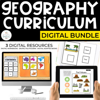
Digital Geography Curriculum for Special Education (Digital Geography Bundle)
Digital Geography Curriculum for Special Education | Google Slides™ + Interactive PDFs Great for distance learning or hybrid caseloads! Includes 4 units with 357 digital worksheets, 10 digital file folders, and 4 digital adapted books! Use geography digital workbooks, digital file folders, and digital adapted books in your classroom or virtually to reinforce basic Geography skills.3 DIGITAL RESOURCES INCLUDED:1. Digital Geography Workbooks for Special Ed2. Digital Geography File Folders for Spec
Subjects:
Grades:
1st - 12th
Types:
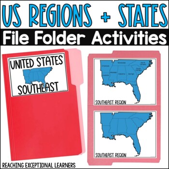
US Regions and States File Folder Activities
Do you have students learning about regions and states of the US? Or would you simply like to introduce this concept to them? This product contains 1 file folder activity for the 7 different regions of the US for a total of 7 different file folder activities. Your students will match the states, or find them on their own without labels for a challenge. Check out the preview for an example of each region.The following regions are included:SoutheastSouthwestMidwestNortheastRockies & PlainsMida
Subjects:
Grades:
1st - 4th
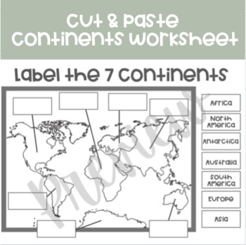
Printable 7 Continents Worksheet | Cut and Paste
This black and white worksheet can be printed off and copied for students to fill in the missing continent labels. Students can cut out the labels, and paste them to the correct spots. If you enjoy this worksheet, I also have an oceans worksheet! https://www.teacherspayteachers.com/Product/Printable-Oceans-Worksheet-Cut-and-Paste-6954753*The first page is the worksheet*The second page is the answer sheet*The third page is the credits page
Grades:
PreK - 3rd
Full Year 20-Lesson Forest School Bundle--Nature Ed for Elementary Students
Looking to help your students connect with nature? This full year lesson plan bundle contains 20 nature-based lesson plans following forest school and outdoor education models. It is inspired by Jon Young's Coyote Mentoring and the natural cycle of learning. These 20 lessons equip teachers and mentors to instill in their students strategies such as mapping, birding, mindfulness, awareness, animal tracking, journaling, and curiosity.Lessons are intended to be taught once per week. Each lesson is
Subjects:
Grades:
PreK - 5th
Types:
Showing 1-24 of 2,290 results


