1,684 results
Not grade specific geography handouts
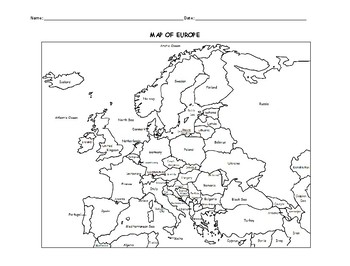
MAP OF EUROPE PRINTABLE COLORING PAGE WITH COUNTRIES
This black and white printable map of Europe includes all 51 countries. Print and Go! Great for reference or to print and color and learn. List of countries included: Albania, Andorra, Armenia, Austria, Azerbaijan, Belarus, Belgium, Bosnia and Herzegovina, Bulgaria, Croatia, Cyprus, Czech Republic, Denmark, Estonia, Finland, France, Georgia, Germany, Greece, Hungary,, Iceland, Ireland, Italy, Kazakhstan, Kosovo, Latvia, Lithuania, Luxembourg, Macedonia, Malta, Moldova, Monaco, Montenegro, Nethe
Subjects:
Grades:
Not Grade Specific
Types:
North America Map Activity
North America Map Activity: Explore & Identify the Countries of North AmericaIn this engaging North America map activity, students embark on a journey to discover and identify countries within the North American continent, and, if desired, their respective capital cities. Students can also color in their maps when completed to help reinforce their understanding as well as develop their mapping skills. This printable North America worksheet is a great educational tool for students of all ages
Subjects:
Grades:
Not Grade Specific
Types:
Also included in: Map Activity Bundle
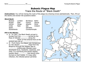
Bubonic Plague "Trace the Black Death" Map Activity 2.0 / Medieval Europe
This is a fantastic map activity to teach students characteristics of the Black Death as well as the routes along the Silk Route and sea trade routes that the Plague travelled along. Like "connect the dots," students will fill out a map, trace the plague, and answer essential questions. A key is provided.CLICK HERE for a primary source assignment on the Bubonic Plague.©Founding Fathers USA. All rights reserved by Founding Fathers USA. This product is to be used by the original downloader only. A
Subjects:
Grades:
Not Grade Specific
Types:
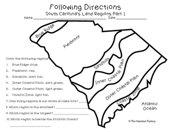
South Carolina's Land Regions- Following Directions Activities
Do you want your students to practice following directions and learn about South Carolina's land regions at the same time?!?! If so, these maps are for you!
This download includes two maps. On the first map, your students will color each region in a specific color. Your students will also answer a few questions about the map. On the second map, your students will draw certain characteristics inside each region. Example: Draw 3 mountains in the Blue Ridge.
This activity is a part of my So
Subjects:
Grades:
Not Grade Specific
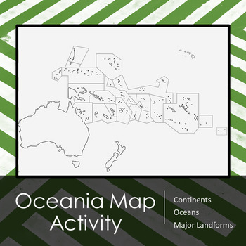
Oceania (Australia | Pacific Islands) Map Activity and Lesson Plan
Includes outlined map of Oceania for students to complete. On the backside of the map there is a list of major items that students should be able to identify and label on the map including, but not limited to:Key with compassBodies of waterCountriesTerritories3 regions of Oceania (Melanesia, Micronesia, & Polynesia [with Hawaii!])I have also included my lesson plan for how I use this in my classroom, including Bell Work, introduction of the map and a list of important physical / political fe
Grades:
Not Grade Specific
Types:
Also included in: World Map Labeling Activity Bundle
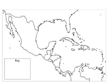
Mexico, Central America, & the Caribbean Outline Map
Outline map including a key to fill in depending on the type of map.
Subjects:
Grades:
Not Grade Specific
Types:
State by State Learn the USA THE BUNDLE Worksheets
Are you a history, social studies, geography or even ESL teacher? If so, this bundle is for you! It is perfect to teach both native English speakers and ESL students about all 50 states. Containing a one-page profile for each state, the possible uses are endless . . . a list of ideas is included in the resource :)If you teach history, social studies, or geography to native English-speaking students:•This bundle is a wonderful compliment to any unit on the United States. If you teach ESL student
Subjects:
Grades:
Not Grade Specific
Types:
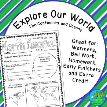
Explore Our World The Continents and Oceans Worksheets
Are you a geography, social studies, or history teacher? If so, this resource is for you! It is a perfect compliment to any unit on world geography or history. Containing a one-page profile for each continent and ocean, the possible uses are endless . . . a list of ideas is included in the resource :)These worksheets will be beneficial in helping your students learn and practice the following:•Continent and ocean names•Continent and ocean locations (both on the world map and in relation to each
Grades:
Not Grade Specific
Types:
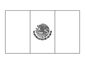
Mexico Flag Template Mexican Flag Template Bandera de Mexico
This outline of the flag of Mexico is great to use as you choose!
Subjects:
Grades:
Not Grade Specific
Types:
AP Human Geography-UNIT 6 Bundle-CITIES AND URBAN LAND USE PATTERNS AND PRO
You asked for it, and I made it!This is a growing bundle of all of my UNIT 6 materials for AP Human Geography that covers CITIES AND URBAN LAND USE PATTERNS AND PROCESSES. I'm constantly making new materials so you will need to check back for new content once in awhile to update your download. **Please take note that this is not ordered in any particular manner and does not give you pacing guides or instruct you on what is best practice in YOUR classroom. This is just collections of my resources
Grades:
Not Grade Specific
Types:
Everything AP Human Geography Bundle
This bundle, of almost 70 resources, is everything you need to jump start you AP Human Geography class! This bundle includes every APHG resource on the Jammin' History Teacher store, with new resources added all the time! Here's what you get - Class Website (Google Site) Class Binder System Year-Long Bellringer20 Anchor Charts Flash cards, Units 1-7 FRQ Resources for students, desks, and wallsUnit Vocabulary Wall Displays Learning Activities and Assignments
Subjects:
Grades:
Not Grade Specific
Types:
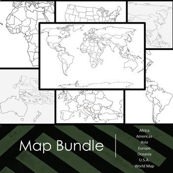
World Map Labeling Activity Bundle
Includes outlined maps of all continents and countries for students to complete. On the backside of each map there is a list of major items that students should be able to identify and label on the map, including but not limited to:Key with compassBodies of waterMajor land formsCountriesTerritoriesMajor citiesBundle Includes: Africa, Asia, Oceania (Australia and Pacific Islands), Europe, Americas (North, South, and Central America), and map of United States of America with territories as well as
Subjects:
Grades:
Not Grade Specific
Types:
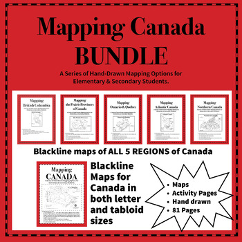
Mapping Canada Bundle
Mapping Canada is a series of blackline, reproducible maps suitable for Grades 3 through Secondary School. Each baseline map is hand drawn with care to make the division between water and land clear. Mapping Canada contains several maps in both letter and tabloid formats, depending on grade level and data the students will be required to show. There are various levels of activity sheets as well as cut and paste labels.Canada is divided into 5 regions: British Columbia, The Prairie Provinces, Ont
Grades:
Not Grade Specific
Types:
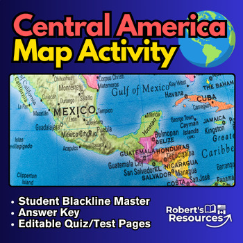
Central America Map Activity
Central America Map ActivityEngage your students with an interactive geography activity focused on Central America. In this educational exercise, students are tasked with locating and identifying the countries within Central America, and they can even explore the capital cities if desired. A wide range of instructional models can be implemented to engage students and complete the task. Afterward, students can unleash their creativity by coloring the different countries.This comprehensive package
Subjects:
Grades:
Not Grade Specific
Types:
Also included in: Map Activity Bundle
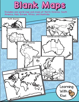
Blank World and Continents Maps
Hi there!This product includes a world map and maps of North America, South America, Asia, Europe, Australia (with New Zealand), and Africa. Enjoy and Happy Learning!Jenny
Grades:
Not Grade Specific
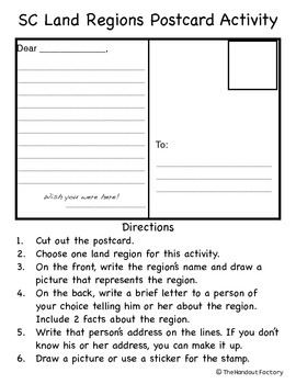
South Carolina Regions Postcard Activity
This activity is geared towards South Carolina's third grade social studies standards.
The students will...
1. Choose one land region.
2. On the front, write the region’s name and draw a picture that represents the region.
3. On the back, write a brief letter (including 2 facts about the region) to a person of their choice.
4. Write that person’s address on the lines.
5. Draw a picture or use a sticker for the stamp.
A rubric is included with the activity.
This would make a great bullet
Subjects:
Grades:
Not Grade Specific
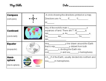
Basic Map Skills Vocabulary for ESL Bilingual Scaffolded Notes English Spanish
Originally used with the textbook, "ACCESS World History" by Great Source, this resource uses pictures to enrich a basic defintion that students would look up in their textbook or online. Format is similar to two column notes, with a vocabulary term on the left and space for a definition on the right, but with the addition of a picture representation of the term or concept in a third middle column.First three pages are English only, pages four through six are the answer key, and pages seven thro
Subjects:
Grades:
Not Grade Specific
Types:
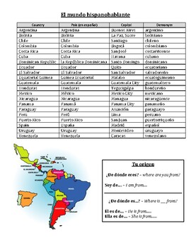
¿De dónde eres? - Spanish-speaking countries practice with answer key
A reference sheet with all Spanish-speaking countries listed, including capitals and demonyms. Also includes "¿De dónde eres?" and "¿De dónde es?" as conversation starters.Worksheets include identifying where countries are located geographically as well as an activity to practice "¿De dónde es?" and "Es de...."NO PREP NEEDED. Answer key is included.Perfect to leave as sub work!I do not own the graphics. Credit goes to Google Images.
Subjects:
Grades:
Not Grade Specific
Types:
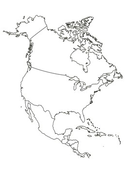
Blank North America, Central America and the Caribbean map
Blank North America, Central America and the Caribbean map
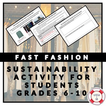
FAST FASHION ACTIVITY: SUSTAINABILITY AND ENVIRONMENT
Resources in this activity are now FULLY EDITABLE!
This activity aims to give students an understanding of the impact that 'fast fashion' (mass production of cheap, on-trend, clothing) has on our environment.
This activity could be used to support a classroom viewing of Episode 3 of the ABC (Australia) documentary ‘War on Waste’ which features a segment on fast fashion.
There are 3 components to this activity:
-Fast Fashion fact sheet: Students are presented with a fact sheet that outlines
Subjects:
Grades:
Not Grade Specific
Types:
Cultural Diffusion & McDonald's
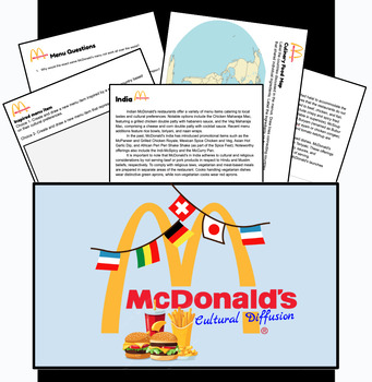
Invite your students to explore cultural diffusion with this McDonald's Cultural Diffusion Lesson! Delve into how one of the world's most iconic fast-food chains adapts its menu to suit the tastes and preferences of diverse cultures around the globe.What's Included:Global Menu Exploration: Readings from McDonald's menus in ten different countries. Thought-Provoking Reflection Questions: Encourage critical thinking and cultural awareness with thought-provoking reflection questions that prompt st
Grades:
Not Grade Specific
Types:
Topographic Map Skills and Exercises
Series of handouts that cover the basic topographic map skills plus ten sets of maps and exercises. Skills covered in the handouts: Introduction and Marginal Information Symbols and Colour Direction and Bearings Height and Slope Contour LInes and Landforms Locating Places Scale Measuring Distance Measuring/Estimating Area Cross-sections GradientTen practical mapping exercises are graded from simple to more complex maps and questions. Answers are included.
Subjects:
Grades:
Not Grade Specific
Types:
Geography Unit 2 - Latin/South America Unit Bundle
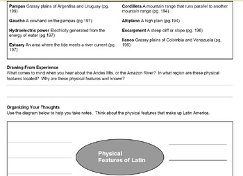
Includes vocab, maps, powerpoints, handouts
Subjects:
Grades:
Not Grade Specific
Types:
Map of My Bedroom Printable Worksheet
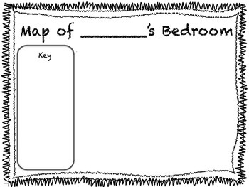
A great addition to any primary unit on maps! Have your students create their own bedroom maps and keys.
Teacher Tip: Read "My Map Book" by Sara Fanelli or "Me on the Map" by Joan Sweeney before students create their own maps. Can also be used as a Social Studies center.
Grades:
Not Grade Specific
Types:
Showing 1-24 of 1,684 results


