20 results
1st grade geography webquests
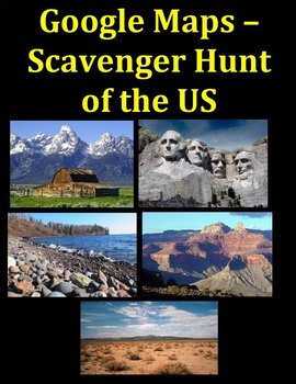
Google Maps-Famous Landmarks of the United States Digital
Google Maps is a fun way to learn the geography of the United States! Students learn Famous Landmarks of the USA:- Bodies of water- Mountains and DesertsGoogle Maps shows the satellite of the Earth which amaze students. Some of the Famous Landmarks are: The Grand Canyon, Mount Rushmore, the Everglades, The Grand Tetons, and the Great LakesGeography to engage learning!Created by CC FisherOther Geography Units:Google Maps Scavenger Hunt – Ancient History Landmarks of the World Scavenger Hunt of
Grades:
1st - 5th
Also included in: United States Geography Bundle-Rivers, Mountains, Deserts Digital
Internet Scavenger Hunt - Primary Grades - Rivers of Georgia
This scavenger hunt allows students to explore websites using links, or QR codes, in order to complete a table with information about the cities and watersheds created by each river in the state of Georgia. This can be done at school, or at home, independently, in groups, with a teacher or parent, or in many other different ways to fit the needs of your classroom and your students. This .zip folder includes a variety of formats of the internet scavenger hunt. Choose the format that best fits you
Subjects:
Grades:
1st - 3rd
Also included in: Internet Scavenger Hunt Bundle - Second Grade - Distance Learning
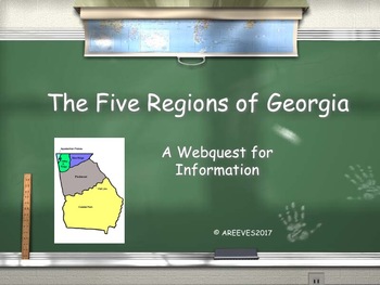
5 Regions of Georgia Webquest
A simple webquest to help students research the various regions of Georgia.
Includes a corresponding two page answer page for students to record their answers from webquest research.
**Aligned with Georgia Performance Standards**
Geographic Understandings
SS2G1 The student will locate major topographical features of Georgia and will
describe how these features define Georgia’s surface.
a. Locate all the geographic regions of Georgia: Blue Ridge Mountains, Piedmont,
Coastal Plain, Valley and
Subjects:
Grades:
1st - 2nd
Types:
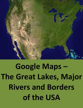
The Great Lakes, Major Rivers and Borders of the United States Digital
Google Maps engages students in learning the geography of the United States! Students learn:- The Great Lakes- Major rivers of the US- The country, ocean, and gulf borders of the USGoogle Maps shows the satellite of the Earth which amaze students. The answer sheet is actual maps that the teacher can use as handouts.Geography with a fun twist!Created by CC FisherOther Geography Units:Learning the States of the US with Google Maps Google Maps – The Countries of North America and Central America
Grades:
1st - 5th
Also included in: United States Geography Bundle-Rivers, Mountains, Deserts Digital
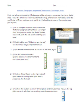
National Geographic MapMaker Interactive Digital Map Scavenger Hunt
Students will be going on a scavenger hunt on a digital map! The link to the map is in the title, a free interactive digital map by National Geographic. The students will then follow the directions on how to get onto the map, and to learn more about all of it’s cool features! Then, continue on to part 2 (on the back side), and answer the questions as they explore. This activity introduces the world of digital maps and their features and allows students to get comfortable navigating a digital ma
Grades:
1st - 6th
Types:
Virginia Webquest Internet Digital Scavenger Hunt - Geography Worksheet
Super fun and easy way to cover Social Studies Common Core Standard for the states!
This lesson is intended to pair with the Live Binder that was created for it. However, you do not have to use the Live Binder and can use whatever websites you prefer instead. I do highly recommend the Live Binder because I have set it up for your students to go with the assessment and because it is FUN!
If you have never used Live Binder, it is super easy! You don’t need to do anything special - just click the
Subjects:
Grades:
1st - 5th
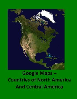
Google Maps–The Countries of North America and Central America Digital
Google Maps gives the outline of each Country by a search. Students enjoy searching for the Country on Google Maps. This is a fun way to learn the geography of North America. This also gives the larger countries of the Caribbean as shown on the page views.Geography with a fun twist!Created by CC FisherOther Geography Units:Learning the States of the US with Google Maps Google Maps – The Countries of South America Google Maps of the Great Lakes, Major Rivers and Borders of the US Google Maps S
Grades:
1st - 4th
Also included in: Countries of the World Webquest Bundle Digital
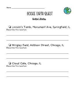
Google Earth - United States Quest
Use this checklist with your students to allow for typing practice, navigation practice, and developing map skills. Students will check off each location as they visit and explore in earth view and street view. There are 20 total locations throughout the USA listed on this quest. There is space for students to describe each location in their own words as well. Following the quest, there are some questions for students to answer.
I used this with my 2nd Graders and they absolutely loved it!
Subjects:
Grades:
1st - 4th
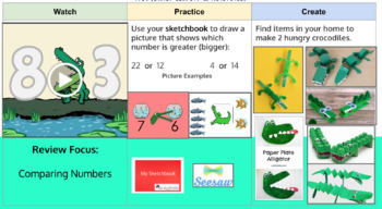
4-Week 1st Grade Distance Learning Activities
These slides are designed to guide KG and/or 1st grade students through a series of online learning activities. This unit focuses on: Mapping, Habitats, Addition/Subtraction and Digraphs.
Subjects:
Grades:
K - 1st
Types:
NGSS:
K-LS1-1
, 1-LS3-1
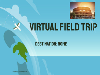
Virtual Field Trip- Rome
Complete with sound effects, Roman artifact quiz, and a reflection piece at the end, this will be sure to draw in your students to get them excited about Rome- or just a fun activity to do! This is a PDF with link to Google Slides, as well as a postcard template.Want to see a FREE preview of another virtual field trip? Machu PicchuCheck out the other field trips!EgyptAustraliaAntarcticaChinaAmerican SymbolsBeachesAquariumsParis (Now with 2 Field Trips in 1, with One Featuring the 2024 Olympics!)
Grades:
1st - 6th
Types:
Also included in: Virtual Field Trips- BUNDLE!
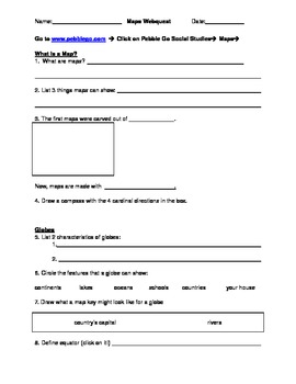
PebbleGo Maps Webquest
**You must have access to PebbleGo.com to use this webquest.**I created this webquest to go along with our study of maps. The log-in directions are at the top of the page (please make sure your students have the username and password to pebblego.com). Students read the information and fill in the blanks from the webquest.This is a great tool to teach note-taking and to provide scaffolding to students for reading comprehension. The students LOVE getting to use the computers for this!This webquest
Subjects:
Grades:
K - 3rd
Types:
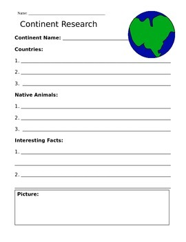
Continent Research Paper and Fact Sheet Bundle
This is a Research Paper created to help students find information relating to Continents. It is designed for elementary students and has been used in a 1st Grade classroom. This can be completed with book information or can be used as an online web search. This bundle contains 7 different Fact Sheets (one for each continent), detailing important facts, names of countries, and animals native to the continent. In addition, there is a Continent Cut and Paste Worksheet included, which can be used
Subjects:
Grades:
1st - 6th
Types:
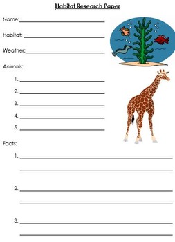
Habitat Research Paper
This is a research paper intended to help students gather information on a specific habitat. In my classroom, I use this website as a webquest to help the students find the information: http://www.skyenimals.com/browse_habitat.cgi
Subjects:
Grades:
1st - 6th
Types:
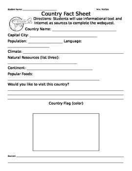
My Country Fact Sheet
This is a great research assignment for students grades 2,3,4,5 & up. I created this fact sheet for students to complete with the use of text and internet.
Subjects:
Grades:
K - 12th, Higher Education
Types:
Google Maps–The Countries of South America Digital
Google Maps gives the outline of each Country. Students enjoy searching for the Country on Google Maps. This is a fun way to learn the geography of South America. Students can see the map or the satellite picture of the country.Geography with a fun twist!Created by CC FisherOther Geography Units:Learning the States of the US with Google Maps Google Maps – The Countries of North America and Central America Google Maps of the Great Lakes, Major Rivers and Borders of the US Google Maps Scavenger
Grades:
1st - 4th
Also included in: Countries of the World Webquest Bundle Digital
Introducing Geography
Students will learn about geography, continents, map skills and more through fun songs and videos. A link to discover many of the earth's wonders from National Geographic for Kids.
Subjects:
Grades:
K - 6th

The Seven Continents Webquest
A week long webquest to introduce younger students to the seven continents. Includes songs, games, videos and project ideas. This can be done whole group or given as an assignment to students individually or in groups.
Subjects:
Grades:
PreK - 3rd
Types:
Virtual Tour Choice Board- Distance Learning
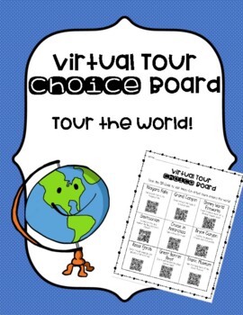
This Virtual Tour Choice Board allows students to travel the world while at home! This is a fun activity for students to explore during these times of distance learning. On the choice board are nine different places the students can explore. I have included a letter to send home to parents about downloading a QR Reader/Scanner app on their devices. Have fun traveling!!Feedback is greatly appreciated! Don't forget to follow my page! Thank you for your support!
Grades:
1st - 6th
Types:
Tornado Webquest
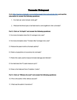
This activity takes students through Scholastic's Teacher Activity Guide and has them answer questions about each reading page. This activity could go with a variety of different subjects and is a fun way for students to independently learn about tornadoes! The PDF file can be easily converted into a Google Doc or Microsoft Word file.
Subjects:
Grades:
1st - 12th
Types:

Japan Mystery Places Google Slides Template
This resource is for students to learn more about the unique attractions in Japan. It includes directions for use, a teacher example, list of attractions and student template. Have fun and discover something new about Japan!
Subjects:
Grades:
1st - 8th
Types:
Also included in: Passport Club Bundle (Google Slides Webquests)
Showing 1-20 of 20 results


