9,591 results
Geography lessons under $5
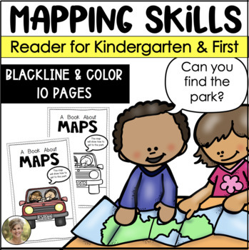
Mapping Skills Reader for Kindergarten and First Grade Social Studies
Teaching mapping skills to your students? Need to help them understand key vocabulary: map, symbols, key, cardinal directions and compass rose? Grab this reader perfect to generate talks and discussions about what maps are and how they help provide information!Includes both a blacking version for your students to color and take home! Plus a color version to project and read whole group!Information included in the reader:maps are flatmaps tell information compass rose tells north, south, east and
Subjects:
Grades:
K - 1st
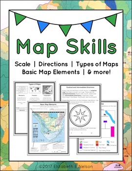
Map Skills Package
This package contains a variety of handouts, worksheets, a lesson idea, and an activity to help teach students map skills such as scale, cardinal and intermediate directions, types of maps (planimetric, thematic, topographic), and basic map elements (legend, title etc.)
Contents
Welcome
Teaching Guide (3 pages)
Latitude, Longitude, and Directions: The Orange Lesson
Latitude Labeling Worksheet Option 1 (label)
Latitude Labeling Worksheet Option 2 (trace)
Cardinal and Intermediate Directions Han
Grades:
3rd - 6th
Types:
Also included in: Map Skills Bundle: activities, worksheets, crafts, posters + more
My Place in the World Project: "Me on the Map" Geography for Kids
This hands-on geography project "My Place in the World" has kids create a visual representation of how we fit into the world. Teachers often use it with the kids' geography book "Me on the Map," by Joan Sweeney. Ideal for integrated Social Studies, ELA, Geography, Literacy, and Map Skills.Using a series of nesting circles to show the relative sizes of different geographic places, this simple but effective geography lesson helps kids sort out their relation to one another. This activity includes
Grades:
K - 5th
Also included in: Geography for Kids Bundle: Three Essential Hands-on Activities
2nd Grade Map Skills and Map Features Worksheets | Reading a Map Activities
Map skills and map features will come to life in your classroom with these 2nd grade map skills hands-on activities! This map features resource includes lesson plans, foldables, map skills worksheets, vocabulary, materials for early finishers, homework suggestions, and MORE. Students will learn about reading a map as well as map features and will even get the chance to create their own maps! ⭐ Want more help teaching geography? Grab this Geography Interactive Notebook Activities Bundle! ⭐Your cl
Subjects:
Grades:
2nd - 3rd
Types:
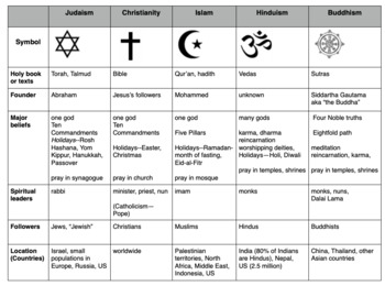
Compare World Religions Chart --Judaism, Christianity, Islam, Hinduism, Buddhism
This is a chart I use with my students to compare five major world religions-- Judaism, Christianity, Islam, Hinduism and Buddhism. It is meant to have the students learn the basics and be able to know the major aspects of all the religions. I included a blank copy and a completed version. In my social studies textbooks, there is quite a bit of info about each of these religions. This can also be done this as a group jigsaw activity. Feel free to edit it to suits your needs. Let me know if
Subjects:
Grades:
5th - 10th
Landforms | Social Studies Lesson | PowerPoint & Google Slides
Your students will love this engaging mini-lesson all about Landforms, and you'll love that it's no-prep and ready to teach. Each lesson slide is meant to be projected on your whiteboard to guide short and sweet discussions about important social studies topics. Use these slides as a stand-alone lesson, or as a supplement to your existing social studies curriculumLesson Formats Included:⭐ PDF ⭐ Powerpoint ⭐ Google SlidesInside this Product is...24 no-prep slides that include:Video ClipsDiscussio
Subjects:
Grades:
1st - 4th
Also included in: Social Studies Lessons | PowerPoint & Google Slides | BUNDLE
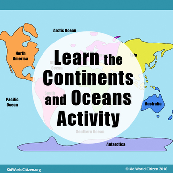
Learn the Continents and Oceans ~ Geography / Map Activity
This hands-on geography and map activity teaches kids the continents and oceans of the world.
Combining map skills, reading, handwriting, coloring, cutting, and spatial reasoning into one simple yet effective activity, kids learn the names and placement of the oceans and continents of the world. Whether studying geography or building map skills, this Kid World Citizen geography activity can serve as a wonderful assessment or practice for elementary students. It can also be put into sub plans, a
Grades:
K - 4th
Types:
Also included in: Geography for Kids Bundle: Three Essential Hands-on Activities
13 Colonies: Comparing Regions - New England, Middle, & Southern Colonies
13 Colonies: Comparing the Regions – New England, Middle & Southern ColoniesThis lesson teaches how the three regions of the 13 Colonies differed from one another: New England, the Middle Colonies, and the Southern Colonies. Students will learn how the climate and geography of the three colonial regions impacted the economic as well as the social lives of colonists in the three regions of the 13 Colonies. Students will learn how the New England colonists had to look to different types of rev
Subjects:
Grades:
5th - 11th
Also included in: Early US History Bundle: 1492 - Civil War
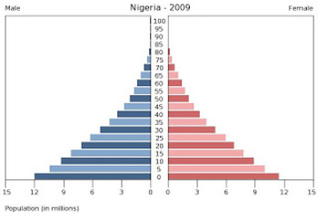
Population Pyramids Lesson and Activity
UPDATED 2023! This product now has an updated version with population data from 2020-2022 for the practice countries. This product will teach students the basics of how to read, understand and analyze population pyramids. The product has a student note piece along with an activity that can be used as an individual assignment or as a cooperative group activity. After students learn how to read a population pyramid they will construct their own using data provided and then analyze the pyramid(s)
Grades:
8th - 12th
Types:
2nd Grade Geography - Natural Resources Worksheets, Lessons & Activities
Are you looking for fun 2nd grade geography activities about natural resources? Look no further! This hands-on natural resource pack includes lesson plans, foldables, worksheets, vocabulary, materials for early finishers, homework suggestions, and MORE! You will have everything you need to teach natural resources for your 2nd grade geography lessons! Your Students Will Learn:What natural resources are The difference between renewable and nonrenewable resourcesHow natural resources meet our basi
Subjects:
Grades:
2nd - 3rd
Types:
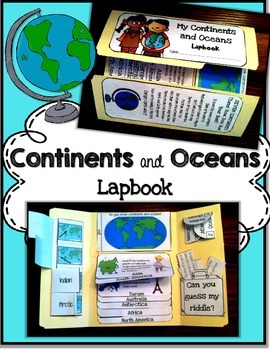
Continents and Oceans
This continent and ocean lapbook is a great way to get students learning when they don't even know they are learning! This pack includes all interactive and hands on activities to teach continents and oceans. The best part is you can also use this pack as an interactive notebook or simply use the foldables to reinforce the learning. Included:Cover sheet and continents songOceans 4 tab foldableWorld map guess-and-checkContinents flip bookOceans 4 petal foldableContinents riddle pocket activity**J
Grades:
K - 4th
Types:
Also included in: Social Studies Curriculum Bundle
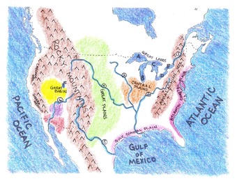
Geography: Make-Your-Own US Physical Map Project
This project includes the following:
*Lesson plan --two or three days to complete.
*I CAN statements identifying the major water and landforms in the United States. Check boxes are included as bullet points in front of statements.
*Student project title cards to put on top of each map (glue finished product on large piece of 12"x 18" construction paper).
*Project title strips for students --four per page to save paper.
*Map legend template.
*Outline map of the mainland United States for student
Subjects:
Grades:
3rd - 6th
Types:
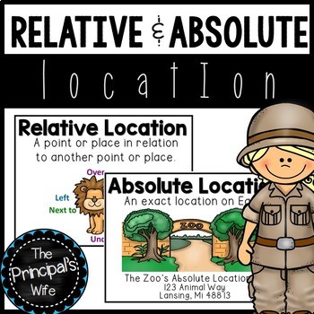
Absolute and Relative Location
This geography unit was created to cover the concepts of absolute and relative location. The fun zoo themed activities will help engage your students in the standard being covered.
This lesson is a part of my geography bundle.
To download the bundle, click here!
What’s Included?
1. Word Wall Posters
- Absolute and Relative Location posters that include definition and visual
examples.
3. Welcome to the Zoo! Relative Location Activity and Teacher
Call Out Sheet
4.
Subjects:
Grades:
1st - 2nd
Types:
Also included in: Geography Bundle
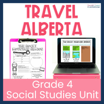
Alberta's Geographic Regions Digital and Printable Grade 4 Social Studies Unit
This Alberta Grade 4 Social Studies unit will take your students on a trip across the province. Students will visit the 5 physical regions of Alberta. They will learn about the natural resources, climate, landforms and more of each geographical region. Students will visit the following regions of Alberta: GrasslandsCanadian ShieldParklandFoothillsRocky MountainsBoreal ForestCheck out the PREVIEW to see the digital and printable versions up close. What is Included?Digital Version:42 Google Slides
Grades:
4th - 5th
Me on the Map: A Literature & Social Studies Mini-Unit
This is an integrated language arts and social studies mini-unit. That is perfect for your students to learn how to read a map, find their place on a map, and follow directions using a compass. The activities in this packet are based on the book, Me on the Map by Joan Sweeney.
What’s Included:
* 13 Vocabulary Cards with definitions
* KWL Chart
* Story Map
* Comprehension Check
* Where Am I in the World? Student Book
* Where You Live Practice Sheet
* Color the Globe Practice Sheet
* Com
Grades:
K - 2nd
Types:
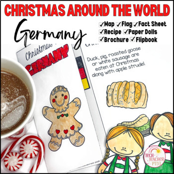
Christmas in Germany I Holidays Around the World
Why not take your class to Germany in your next social studies lesson? Introduce your students to German food and traditions while exploring where Germany is on the map. Create a fantastic classroom display with the German bunting and brochures to hand out to visitors. Students will also love making paper dolls to add to the class display, and the handy flip book will help solidify learning.SAVE 30% by buying ALL of my other Christmas Around the World Resources in 1 Bundle!SAVE 30% by buying Chr
Grades:
2nd - 4th
Also included in: Christmas Around the World Holidays Bundle
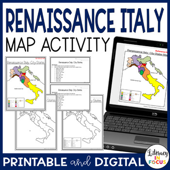
Renaissance Italy City States Map Activity | Google Classroom | Printable
Captivate all types of learners with a hands-on map lesson! This map lesson and assessment focuses on the Italian city-states during the Renaissance. A digital version is included for use in your Google Classroom. **This resource is part of the World History Map Activities Bundle. TEN map lessons and assessments are included at a 20% discount price! Click here to see all the resources in the bundle and take advantage of the HUGE savings.INCLUDED WITH YOUR PURCHASE:Map Directions: The directions
Grades:
5th - 8th
Types:
CCSS:
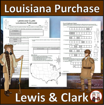
Louisiana Purchase - Lewis and Clark Expedition
Here is a fun and engaging activity about Lewis and Clark and the Louisiana Purchase. Your students will be answering comprehension questions about the famous expedition through the Louisiana Territory. They will be using their map skills to complete a map of the area at the time in the United States.The purpose of this activity is for students to show their understanding of the impact of Lewis and Clark's expedition through the Louisiana Territory and beyond.Here is what you'll get in this 3-pa
Grades:
5th - 8th
Types:
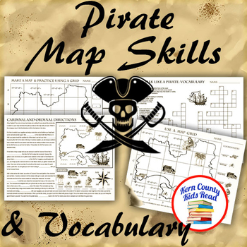
Pirate Map Skills: Grid Coordinates, Cardinal & Ordinal Directions, Symbols
Teach and strengthen coordinate grid math, geography mapping skills like map symbols and cardinal and ordinal directions with a compass rose, and new vocabulary with these pirate themed printable worksheets. These are fun mini-lesson activities for Talk Like A Pirate Day on September 19th or if you have a pirates themed unit. Cardinal directions and coordinate grid mapping are important introductory skills to mastering latitude and longitude map skills and being able to use an atlas. Coordinate
Subjects:
Grades:
3rd - 6th
Also included in: Pirates Thematic Unit Study Bundle: Talk Like A Pirate Pack!
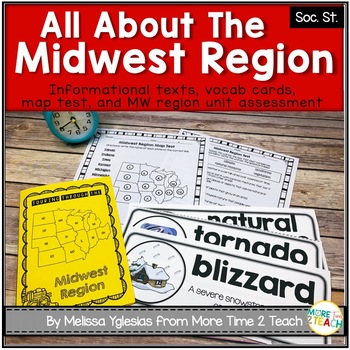
Midwest Region Unit {1 of 5 US Regions}
Help your students learn all about the MIDWEST REGION (Iowa, Kansas, Missouri, Nebraska, North Dakota, South Dakota, Illinois, Indiana, Michigan, Minnesota, Ohio, and Wisconsin) After many hours of searching for kid-friendly material on the MIDWEST REGION OF THE UNITED STATES to use with my 3rd graders, I decided to create a unit of my own. My goal was to create an INTERACTIVE, ENGAGING, and KID-FRIENDLY unit! That's how this resource was born.THIS PRODUCT INCLUDES:* 6-page informational booklet
Grades:
2nd - 4th
Maps and Globes
Anything and everything you need to complete a unit on maps and globes. Includes anchor charts, activities, interactive notebook pieces, foldables, songs, and more!
-Anchor charts
-Compass rose activity
-Me on the map activity
-Maps and Globes song
-Creating a map activity
Grades:
K - 3rd
Also included in: Social Studies Curriculum Bundle
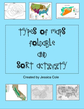
Types of Maps Sort and Foldable for Interactive Notebook
Put a hands on twist on a typical and sometimes "boring" social studies topic. Resource can be used in multiple ways. Students can work independently, in partnerships, or small groups.
Foldable (picture example included):
Students create a foldable insert for their social studies interactive notebook using colorful construction paper, and given information which includes map title, picture, and definition.
Sort Activity:
Great for partners and center work. Students cut and sort cards to
Grades:
3rd - 6th
Types:
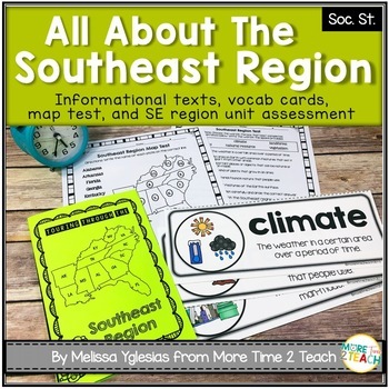
Southeast Region Unit {1 of 5 US Regions}
Help your students learn all about the SOUTHEAST REGION (Virginia, North Carolina, South Carolina, Georgia, Florida, Alabama, Arkansas, Kentucky, Louisiana, Mississippi, Tennessee, and West Virginia)After many hours of searching for kid-friendly material on the SOUTHEAST REGION OF THE UNITED STATES to use with my 3rd graders, I decided to create a unit of my own. My goal was to create an INTERACTIVE, ENGAGING, and KID-FRIENDLY unit! That's how this resource was born.THIS PRODUCT INCLUDES:* 6-pag
Grades:
2nd - 4th
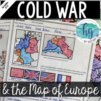
Cold War: The Changing Borders of Europe: 1945-1993
This mini-lesson will help your students understand how Europe's borders changed after World War II, during the Cold War, and after the collapse of the Soviet Union. You can use this as guided notes, station work, homework, in an interactive notebook, and much more! What's Included:*Changing Borders of Europe Reading Packet (7 pages, in color and b&w)*PowerPoint presentation to use instead of the reading packet (32 slides) *added May 2017**Student Handout for notes (7 pages, students will fi
Subjects:
Grades:
6th - 9th
Also included in: Cold War Lesson Bundle for U.S. and World History Units
Showing 1-24 of 9,591 results


