1,010 results
6th grade geography homeschool curricula under $5
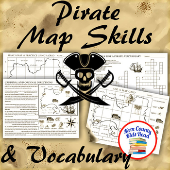
Pirate Map Skills: Grid Coordinates, Cardinal & Ordinal Directions, Symbols
Teach and strengthen coordinate grid math, geography mapping skills like map symbols and cardinal and ordinal directions with a compass rose, and new vocabulary with these pirate themed printable worksheets. These are fun mini-lesson activities for Talk Like A Pirate Day on September 19th or if you have a pirates themed unit. Cardinal directions and coordinate grid mapping are important introductory skills to mastering latitude and longitude map skills and being able to use an atlas. Coordinate
Subjects:
Grades:
3rd - 6th
Also included in: Pirates Thematic Unit Study Bundle: Talk Like A Pirate Pack!
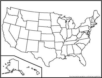
Blank United States Maps (Four map versions with Quiz)
Hi there! This file contains four maps of the United States of America: a blank mapa blank map with stars for the capitalsa blank map with states numbered in order of statehooda larger map (two-page spread) with stars for the capitalsAlso included is a fill-in sheet (quiz) for students to name the numbered states and an answer key. Thank you for shopping with "Learning With Kiwi" and happy learning!
Subjects:
Grades:
K - 8th
United States Geography Worksheets
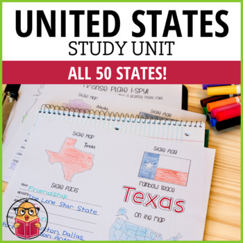
Let Your Students Have Fun As They Study The States!Looking for a way to learn more about the different states in America? Then check out these United States Worksheets! This packet has one sheet for each state, with key information like the state motto, nickname, abbreviation, capital, and popular cities. So whether you're looking to brush up on your geography or just want to learn more about America's history and culture, these worksheets are a great resource. Get started learning today!*This
Subjects:
Grades:
1st - 6th
Social Studies Choice Board: Project-Based Independent Learning
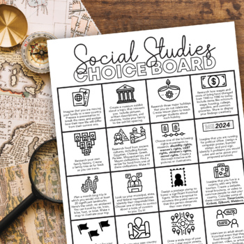
Keep their brains active and get them engaged in their learning with this project-based Social Studies choice board! These projects will activate prior knowledge and motivate students to seek out new skills they have not yet mastered.This choice board includes sixteen project choices that involve multiple real-life social studies applications, including:physical geographyculturehistory current eventsgovernment and politicslandmarkssymbologyeconomicsIt's up to you to decide how to use this choice
Subjects:
Grades:
6th - 10th
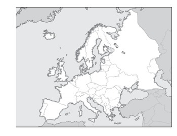
Physical Geography of Europe Worksheet - Map Labeling
Students are asked to label a variety of physical features on a blank map of Europe. Included:
Alpine Mountain System
Iberian, Scandinavian, and Balkan Peninsulas
Seas and Oceans
Rhine and Danube Rivers
Northern European Plain
and many more
Grades:
3rd - 12th
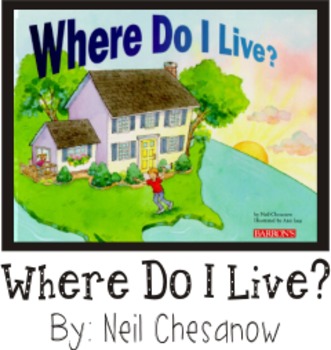
Where Do I Live? Geography Reading Writing Visual Art Book Making
This Easy Fold Step Booklet follows up on the book "Where Do I Live?" By: Neil Chesanow.
Let students enjoy illustrating their personal world they live in from a very small scale (Home/Apartment) to a very gigantic scale (planet).
This booklet allows kids to write(Print) and illustrate their own personal geographical place in the world including their Home, Street, Town/City, State, Country, Continent, and finally, their Planet while exploring the concept of world geography.
I recommend re
Subjects:
Grades:
K - 6th
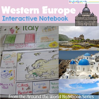
Western Europe Interactive Notebook
Western Europe Interactive NotebookThis interactive notebook is a useful tool for students to organize and review information about the countries of Western Europe. The fact sheets, flag images, and flap/tab fact booklet included in this resource provide students with basic information about each country, such as its location, capital, population, and language.To use this resource, students can start by reading the fact sheets and coloring the flag images for each country. They can then use the
Grades:
3rd - 6th
Also included in: Countries of the World Interactive Notebook Bundle
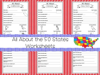
All About the 50 States Fill in the Answer Worksheets. 2nd-5th Grade Geography
One of our premium printable 50 States curriculum package downloads in PDF files stored in Zip files.Here is what you get!100 All About the States Worksheets. Answer the questions about each state. All states are included. There are 2 worksheets for each state created as a PDF file stored in a zip file. You can access the PDF files with any PDF file reader program including the popular Adobe Acrobat Reader and zip files with any Zip file reader program. like Winzip You are purchasing 100 All Abo
Grades:
PreK - 6th
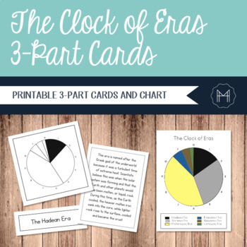
The Clock of Eras 3-Part Cards
Time can be an incredibly abstract topic for children to really grasp. For this reason, many Montessori cultural materials begin with an impressionistic lesson involving a timeline. Whether the students are creating a timeline of their own lives or diving into a study of the history of writing, a physical representation can make the abstract far more concrete.The Clock of Eras work is introduced after the First Great Lesson has been presented. The children have started their independent research
Grades:
2nd - 6th
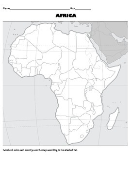
Africa Map Activity Worksheet - Political Geography of Africa
This is a blank political map labeling activity for students to complete using an atlas. There is also an attached list of countries with guidelines for which colors to use when labeling/coloring the countries.
Subjects:
Grades:
3rd - 12th
United States Geography Worksheets (grades 2-4)
These worksheets facilitate memorizing state information in a fun, easy, no-prep way! Great for early finishers, morning work, an extra-curricular unit, etc.Included at the end of this workbook are United States flags in color that should be printed and displayed to use for the flag coloring activities. Also included at the end of this workbook is a list, two pages long, of the states, their abbreviations, and their capitals. These pages are also to be printed and used as reference for the st
Subjects:
Grades:
2nd - 6th
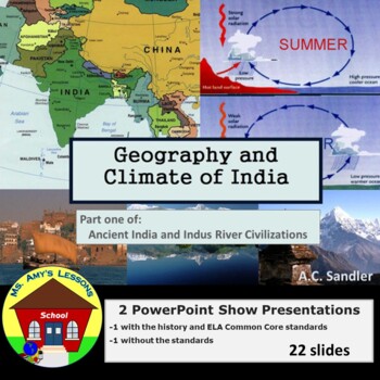
Ancient India: Geography & Climate of the Indian Subcontinent PowerPoint
Introduce your students to the climate and geography of the Indian subcontinent with this colorful and informative slide show presentation.Geography and Climate of the Indian Subcontinent is the first 22 out of 213 slides from my teaching unit ANCIENT INDIA and the Indus River Valley Civilization PowerPoint Presentation . It highlights the major geography and climate patterns of the Indian subcontinent. This is an excellent resource to use either on its own or to supplement the text book.
Subjects:
Grades:
5th - 8th
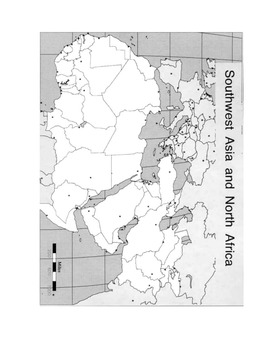
Map Worksheet North Africa - Southwest Asia - Physical Geography of Middle East
This is a physical map labeling activity for North Africa, Southwest Asia, and Central Asia. Students will locate major bodies of water, mountain ranges, and other physical features of the region.
Subjects:
Grades:
4th - 12th
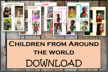
Children From Around The World - Montessori
As children work with these cards, they'll discover fascinating details about the lives and histories of people around the world. These Montessori-inspired children around the world cards will be a good fit to any classroom.This Montessori material is a part of peace education. The material consists of series of cards showing children of different nations, nationalities and races around the world. Each card contains a small map of the continent. There are 54 cards in the Download.
Subjects:
Grades:
PreK - 12th, Higher Education, Adult Education, Staff
Virtual Field Trip - Italy - Venice, Rome, Florence: Research Project
A fun way to search on Google, take notes from videos and answer questions about the amazing Italy and all it has to offer. What I love most about this project is that it talks about some of the histories of technology and helps covers some of the standards I was having trouble covering in my classroom. Also has the kids type some! Please see samples!
PLEASE LEAVE FEEDBACK/RATE MY PRODUCTS AND FOLLOW ME :) This product is one of my most downloaded products, I'm hoping to get feedback soon
Grades:
4th - 10th
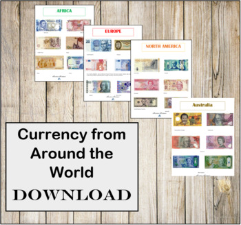
Currency from Around the World- Instant Download- Montessori
CURRENCY FROM AROUND THE WORLD INSTANT DOWNLOAD.There are 6 individual high resolution photos of different banknotes for countries around the world! This is a great addition to any Continent bag or Continent box. These photos are in regulations with the Department of Treasury for printing.
Subjects:
Grades:
PreK - 12th, Higher Education, Adult Education, Staff
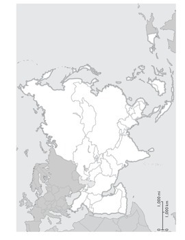
Physical Geography of Asia Worksheet : Map Labeling Activity
This is a two page map labeling activity for Asia. Students are asked to label different bodies of water, rivers, mountains, deserts, and other landforms. They are also asked to define terms like archipelago, rain shadow, and peninsula. It would most likely take one class period to complete.
Grades:
4th - 9th
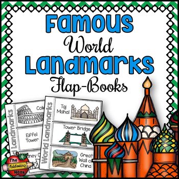
Famous World Landmarks Flap-Books
Famous World Landmarks Flap-Books is fun, engaging, and will fit wonderfully into your students' social studies interactive notebooks!Landmarks included:AcropolisPyramidsBurj KhalifaColiseumEiffel TowerSydney Opera HouseLeaning Tower of PisaPetronas TowersBrandenburg GateTaj MahalTower BridgeGreat Wall of ChinaRialto Venice BridgeChichen ItzaBig BenVaticanSaint Basil's CathedralChrist the Redeemer StatueFamous World Landmarks Flap-Books includes:18 famous world landmarks - 3 per flap-bookcolor a
Grades:
2nd - 6th
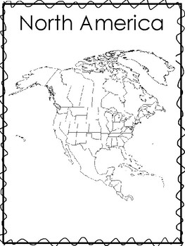
Printable Black and White Continent Maps and List of Countries. Geography .
One of our Geography educational downloads in a PDF file.
Here is what you get!
13 Black and White Continent Maps and Lists of Countries and Dependent Territories. Prints a total of 13 pages.
Designed by Annette Sutherland, owner of Trinity Teachings, Books and Bubbles Family Care and Teach At Daycare Handcrafted Curriculum, in Arkansas City KS.
Click here to visit my Teach at Daycare Store here on TPT
Please see the other items in our store, including Bible Curriculum. If you have any q
Subjects:
Grades:
PreK - 6th
Types:
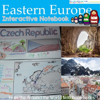
Eastern Europe Interactive Notebook
Eastern Europe Interactive NotebookThis interactive notebook is a useful tool for students to organize and review information about the countries of Eastern Europe. The fact sheets, flag images, and flap/tab fact booklet included in this resource provide students with basic information about each country, such as its location, capital, population, and language.To use this resource, students can start by reading the fact sheets and coloring the flag images for each country. They can then use the
Grades:
3rd - 6th
Also included in: Countries of the World Interactive Notebook Bundle
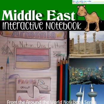
The Middle East Interactive Notebook
Explore the countries of the Middle East with this user-friendly interactive notebook. Featuring a teacher's guide with directions and sample layout ideas, fact sheets for each nation, black and white flag images for coloring and gluing, and notebook flaps for each country, this resource is a great jumping-off point for students to delve deeper into the region. Customizable to fit your teaching needs, this versatile tool is perfect for any classroom studying the Middle East.Please note that you
Grades:
2nd - 6th
Also included in: Countries of the World Interactive Notebook Bundle
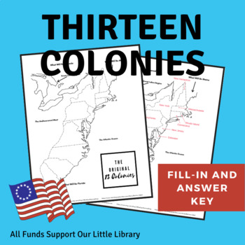
Thirteen Colonies Map and Label Page With Answer Key - Original 13 Colonies
This is a one page printable, with an additional answer key, of the original 13 colonies for students to color and label. This would be a great handout or accompaniment to another lesson. This is part of a History Bundle... check it out!Thank you for stopping by my store... all sales go to fund our Little Library and for more on that visit www.BlueEyedMama.com and don't forget to check out my other History printables and lessons! Also, consider following me... for every 50 followers I get... I w
Grades:
1st - 7th
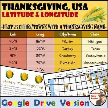
Thanksgiving, USA - Latitude and Longitude Digital Geography Activity
Here is a great way to reinforce latitude and longitude skills when the excitement of Thanksgiving is approaching. The best part - it is all digital so no copies necessary! For other activities like this one:Basketball, USA - Latitude and Longitude ResourceBasketball, USA - Latitude and Longitude ResourceCars, USA - Latitude and Longitude ResourceFootball, USA - Latitude and Longitude ResourceValentine's Day, USA - Latitude and Longitude ResourceIncluded in this activity are the coordinates an
Subjects:
Grades:
5th - 8th
Also included in: Holidays Bundle: Latitude and Longitude Digital Resources
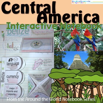
Central America Interactive Notebook
Central America Interactive NotebookExplore the countries of Central America with this user-friendly interactive notebook. Featuring a teacher's guide with directions and sample layout ideas, fact sheets for each nation, black and white flag images for coloring and gluing, and notebook flaps for each country, this resource is a great jumping-off point for students to delve deeper into the region. Customizable to fit your teaching needs, this versatile tool is perfect for any classroom studying C
Grades:
3rd - 6th
Also included in: Countries of the World Interactive Notebook Bundle
Showing 1-24 of 1,010 results


