2,305 results
3rd grade Easter geography homeschool curricula
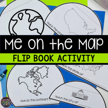
Me on the Map Flip Book - Map Skills Geography Activity
This Me on the Map flip book is the perfect easy-prep project to accompany the book Me on the Map by Joan Sweeney or any beginner map study. Students will identify the planet, continent, country, state, and city or town they live in and begin to understand the relative sizes of each.Prep is simple! Copy a set of the included booklet pages for each student. Students write in the missing words, cut out each semi-circles, and stack them from smallest to largest. Staple the top to complete the fl
Subjects:
Grades:
1st - 3rd
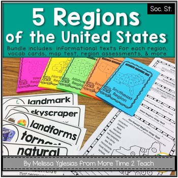
Regions of the United States Bundle: Info. Text Booklet, Vocab. Cards & Assess
Help your students learn all about the 5 REGIONS OF THE UNITED STATES WEST REGION (Colorado, Idaho, Montana, Nevada, Utah, Wyoming, California, Oregon, Washington, Alaska, and Hawaii)MIDWEST REGION (Iowa, Kansas, Missouri, Nebraska, North Dakota, South Dakota, Illinois, Indiana, Michigan, Minnesota, Ohio, and Wisconsin) SOUTHWEST REGION (Arizona, New Mexico, Oklahoma, and Texas)NORTHEAST REGION (Connecticut, Maine, Massachusetts, New Hampshire, Rhode Island, Vermont, Delaware, Maryland, New Jers
Grades:
2nd - 4th
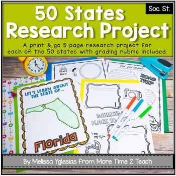
50 States Project- Research Project | Report {with grading rubric}
Have your students been learning about the 5 REGIONS OF THE UNITED STATES or are you simply looking for a FUN RESEARCH project on the 50 STATES? If so, then this might be just the activity you're looking for!With this PRINT & GO RESEARCH PROJECT, each student or group will create a 5-page booklet on one of the 50 States. This project lends itself to independent work, partner work, or even group work. Simply begin by assigning a state, print the parent information letter, and print the pages
Subjects:
Grades:
2nd - 5th
CCSS:
Also included in: Regions of the United States Bundle & State Research Project with Rubric
Christian Easter Activity Pack
This Bible Easter Activity Pack is filled with Bible games, worksheets, crafts and activity pages you can use to teach your little ones the story of Easter. This set is designed for the K-5 teacher or homeschool family and includes multi age resources to connect with different ages and abilities.
View Photos and Samples on our Blog
__________________________________________________________________
Be sure to check out our other Bible Based Activity Packs:
Valentine's Day Activity Pack
Christm
Subjects:
Grades:
PreK - 5th
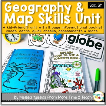
Geography Map Skills Unit: Info Text, Int. Notebook, Assess, Quick Checks + More
Help your students develop proficiency in GEOGRAPHY AND MAP SKILLS.With this unit, they will learn to read a compass rose, key/ legends with symbols, and scales on a map. They will also be able to label the 7 continents and 5 oceans on a map, learn the difference between maps and globes and understand the effect of distortion. By the end of this unit, they will also be able to name and identify the purpose of different maps (physical, political, elevation, and population) just to name a few of t
Grades:
3rd - 5th
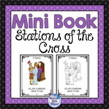
Catholic Stations of the Cross Mini Book for Lent
Do you want to include the Stations of the Cross in your classroom this Lent? This mini book is just the thing! Your students can each have their own personal book to color and then they will have a visual reminder of the events that happened to Jesus on Good Friday. This activity will help bring your students closer to Jesus during Lent and is great to use any time from Ash Wednesday through Holy Week. This is a special way to prepare for Easter. Simply print single sided, cut and staple!Click
Grades:
1st - 3rd
Also included in: Catholic Stations of the Cross Bundle for Lent
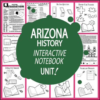
Arizona History 3rd Grade Unit + AUDIO–ALL Arizona State Study Content Included
Arizona History uses Nonfiction Informational Text (ALL Content Included – No Additional Arizona History Textbook Needed), the entire lesson recorded on Audio, ELEVEN Interactive Notebook assignments, and a variety of engaging hands-on activities aligned with Arizona's Third Grade Social Studies Standards to teach about Arizona's Points of Interest, Arizona's First People, Famous Explorers & Missionaries in Arizona, the Mexican War, the Civil War, the Organic Act, and Arizona's Statehood:Ari
Subjects:
Grades:
3rd
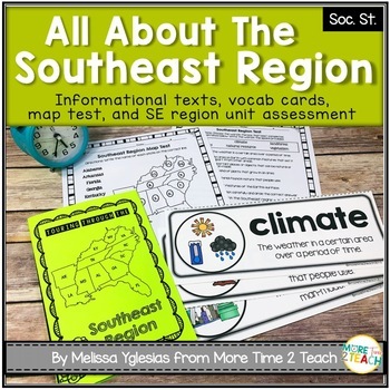
Southeast Region Unit {1 of 5 US Regions}
Help your students learn all about the SOUTHEAST REGION (Virginia, North Carolina, South Carolina, Georgia, Florida, Alabama, Arkansas, Kentucky, Louisiana, Mississippi, Tennessee, and West Virginia)After many hours of searching for kid-friendly material on the SOUTHEAST REGION OF THE UNITED STATES to use with my 3rd graders, I decided to create a unit of my own. My goal was to create an INTERACTIVE, ENGAGING, and KID-FRIENDLY unit! That's how this resource was born.THIS PRODUCT INCLUDES:* 6-pag
Grades:
2nd - 4th
Midwest Region Unit {1 of 5 US Regions}
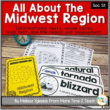
Help your students learn all about the MIDWEST REGION (Iowa, Kansas, Missouri, Nebraska, North Dakota, South Dakota, Illinois, Indiana, Michigan, Minnesota, Ohio, and Wisconsin) After many hours of searching for kid-friendly material on the MIDWEST REGION OF THE UNITED STATES to use with my 3rd graders, I decided to create a unit of my own. My goal was to create an INTERACTIVE, ENGAGING, and KID-FRIENDLY unit! That's how this resource was born.THIS PRODUCT INCLUDES:* 6-page informational booklet
Grades:
2nd - 4th
The Easter Story
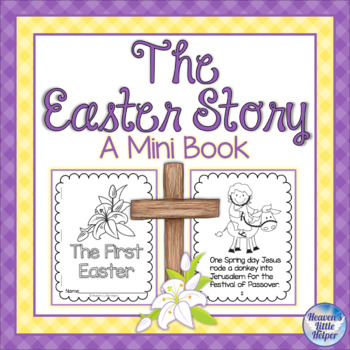
Do you want your students to learn about the events leading up to Easter? This resource is just the thing! Your students will learn about the first Easter by making their very own mini book. The story includes the Holy Week events of Palm Sunday, Holy Thursday and Good Friday. The story ends with Easter Sunday.This resource includes the following:• A black and white version of the story that includes 4 of the story pages on each sheet of letter sized paper• A colored version of the story for you
Subjects:
Grades:
1st - 3rd
Continents Bundle - Maps and Flags for every country of the world
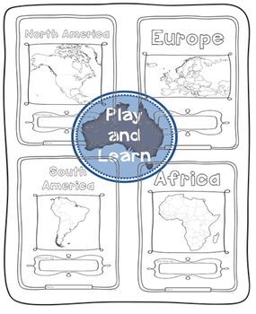
The Continents Bundle includes 196 Countries (some countries are in two continents): 12 Countries in South America; 50 Countries in Europe; 23 Countries in Northern America; 14 Countries in Oceania; 48 Countries in Asia and 55 Countries in Africa; 5 Oceans in the World and Antarctica and the 50 countries that have signed the Antarctic Treaty
*** Save $$$ with this bundle ***
Free preview is France, please download it and see if you like it, all the country pages look similar to this.
This Bun
Subjects:
Grades:
1st - 4th
Ash Wednesday Mini Book for Lent Catholic
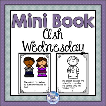
Do you want a simple way to introduce your students to the first day of Lent? This mini book is just the thing! Your students can each have their own personal book to color with a simple explanation about Ash Wednesday. Simply print single sided, cut and staple!This Ash Wednesday resource includes the following:• A black and white version of the mini book that includes 4 of the pages on each sheet of letter sized paper• A colored version of the mini book for your choice in printing• Additional w
Grades:
1st - 3rd
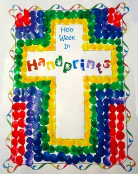
Holy Week In Handprints
This printable book tells the story of Holy Week adapted from the Bible, and is illustrated by YOUR handprint pictures. :-)
You'll find full directions for completing each handprint illustration in the download. Each handprint picture is designed to be loads of fun, and easy to replicate! Even the youngest of children can participate in a handprint craft, and the craft also becomes a keepsake to be treasured.
Features Of This Download:
The download includes the story of Holy Week adapted fr
Grades:
PreK - 4th
Types:
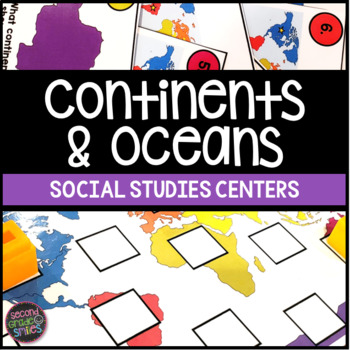
Continents & Oceans Activities - Continents & Oceans Centers - Geography Centers
This continents and oceans resource includes four hands-on center activities perfect for students to practice identifying the seven continents and five major oceans. Here’s what you’ll find inside:Continents & Oceans Playdough Mats – Students will follow the directions on each mat to say and trace each continent’s name, form the shape of the continent with playdough, say and write the continent’s name, and circle the continent on the world map. Great for multi-sensory practice and easy to pr
Subjects:
Grades:
1st - 3rd
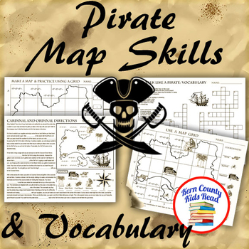
Pirate Map Skills: Grid Coordinates, Cardinal & Ordinal Directions, Symbols
Teach and strengthen coordinate grid math, geography mapping skills like map symbols and cardinal and ordinal directions with a compass rose, and new vocabulary with these pirate themed printable worksheets. These are fun mini-lesson activities for Talk Like A Pirate Day on September 19th or if you have a pirates themed unit. Cardinal directions and coordinate grid mapping are important introductory skills to mastering latitude and longitude map skills and being able to use an atlas. Coordinate
Subjects:
Grades:
3rd - 6th
Also included in: Pirates Thematic Unit Study Bundle: Talk Like A Pirate Pack!
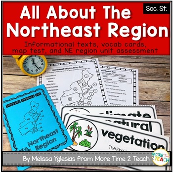
Northeast Region Unit {1 of 5 US Regions}
Help your students learn all about the NORTHEAST REGION (Connecticut, Maine, Massachusetts, New Hampshire, Rhode Island, Vermont, Delaware, Maryland, New Jersey, New York, and Pennsylvania)After many hours of searching for kid-friendly material on the NORTHEAST REGION OF THE UNITED STATES to use with my 3rd graders, I decided to create a unit of my own. My goal was to create an INTERACTIVE, ENGAGING, and KID-FRIENDLY unit! That's how this resource was born.THIS PRODUCT INCLUDES:* 6-page informat
Grades:
2nd - 4th
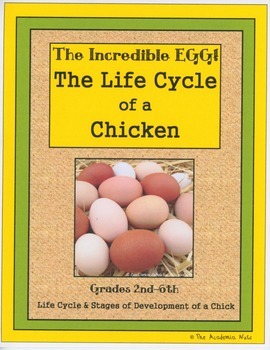
The Incredible Egg - The Life Cycle of a Chicken
Your students will be so "egg"cited about this 2nd-6th grade Common Core aligned science unit. This unit details the stages of development of a chick with real images. The unit includes:
Pre-read Activities
KWL Anchor Charts
Vocabulary/Dictionary Skills/Alphabetical Order
Chicken Anatomy and Assessment Activity
Nonfiction Reader which discusses
Oviparous Animals
Inside of an Egg Diagram and Pictures
Label the Parts of an Egg Activity
Four Stages of Chicken Life
Subjects:
Grades:
2nd - 6th
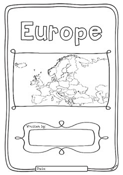
Europe 50 Countries Study - worksheets with maps and flags for each country
Kids love flags! As they colour in the flags they can learn about the countries the flags belong to and make their very own geography book about the 50 countries in the continent of Europe. One country per page with its flag and map to colour in and information to research: Capital City, Language Spoken, Population, Land Area, Religion and Interesting Facts. An additional page is provided for those who wish to add to their interesting facts.
Free Preview is the worksheet for France - each c
Subjects:
Grades:
1st - 4th
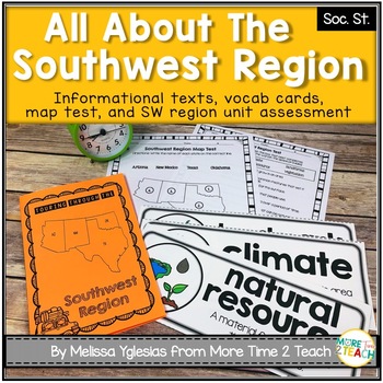
Southwest Region Unit {1 of 5 US Regions}
Help your students learn all about the SOUTHWEST REGION (Arizona, New Mexico, Oklahoma, and Texas)After many hours of searching for kid-friendly material on the SOUTHWEST REGION OF THE UNITED STATES to use with my 3rd graders, I decided to create a unit of my own. My goal was to create an INTERACTIVE, ENGAGING, and KID-FRIENDLY unit! That's how this resource was born.THIS PRODUCT INCLUDES:* 6-page informational booklet on the Southwest Region (interactive and kid-friendly)* directions on how to
Subjects:
Grades:
2nd - 4th
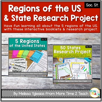
Regions of the United States Bundle & State Research Project with Rubric
Help your students learn all about the 5 REGIONS OF THE UNITED STATES and the 50 STATES in more detail with this FUN and ENGAGING BUNDLE!WEST REGION (Colorado, Idaho, Montana, Nevada, Utah, Wyoming, California, Oregon, Washington, Alaska, and Hawaii)MIDWEST REGION (Iowa, Kansas, Missouri, Nebraska, North Dakota, South Dakota, Illinois, Indiana, Michigan, Minnesota, Ohio, and Wisconsin) SOUTHWEST REGION (Arizona, New Mexico, Oklahoma, and Texas)NORTHEAST REGION (Connecticut, Maine, Massachusetts,
Grades:
2nd - 5th
West Region Unit {1 of 5 US Regions}
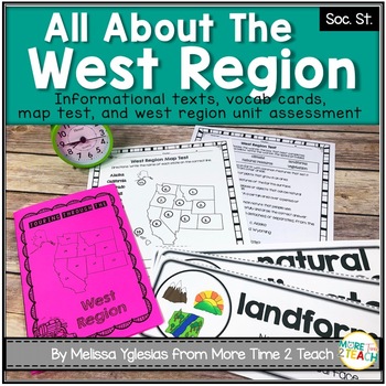
Help your students learn all about the WEST REGION (Colorado, Idaho, Montana, Nevada, Utah, Wyoming, California, Oregon, Washington, Alaska, and Hawaii)After many hours of searching for kid-friendly material on the WEST REGION OF THE UNITED STATES to use with my 3rd graders, I decided to create a unit of my own. My goal was to create an INTERACTIVE, ENGAGING, and KID-FRIENDLY unit! That's how this resource was born.THIS PRODUCT INCLUDES:* 6-page informational booklet on the West Region (interact
Grades:
2nd - 4th
Blank United States Maps (Four map versions with Quiz)
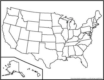
Hi there! This file contains four maps of the United States of America: a blank mapa blank map with stars for the capitalsa blank map with states numbered in order of statehooda larger map (two-page spread) with stars for the capitalsAlso included is a fill-in sheet (quiz) for students to name the numbered states and an answer key. Thank you for shopping with "Learning With Kiwi" and happy learning!
Subjects:
Grades:
K - 8th
Countries of the World Interactive Notebook Bundle
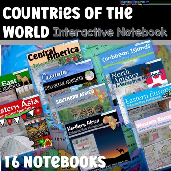
Countries of the World Interactive Notebook BundleYour students will love this SUPER bundle of interactive notebooks for countries all over the globe to research cultures, locations, geography, and fun facts! With a teacher's guide, fact sheets, black and white flag images, and cut and paste interactive notebook pieces for each country, this resource is both engaging and educational. It's a great way to help students develop important skills such as critical thinking, research, and organization
Grades:
3rd - 6th
Maps and Globes - Map Skills - Mapping Activities and Geography Lessons
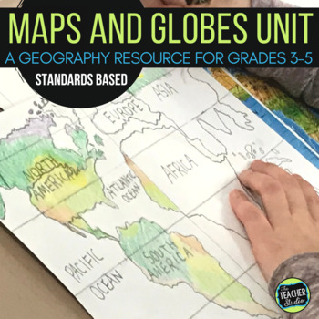
No more boring mapping worksheets to teach map skills! This maps and globes resource is intended to teach geography and mapping skills in a fun, meaningful, and creative way! You may use it to supplement other mapping units or resources or as a framework to plan your own units. It is the foundation for the month or so of mapping instruction I do in my own classroom. It is meant to be "hands on", not fill in the blank! This resource is NOT a mapping textbook and is not scripted in a day-by-da
Subjects:
Grades:
3rd - 5th
Showing 1-24 of 2,305 results


