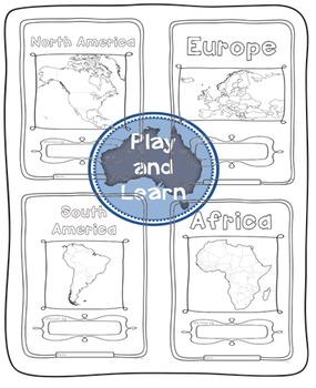
Continents Bundle - Maps and Flags for every country of the world
Play and Learn
270 Followers
Grade Levels
1st - 4th, Homeschool
Subjects
Resource Type
Formats Included
- Zip
Pages
355 pages
Play and Learn
270 Followers
What educators are saying
We love learning about the world with this packet. I bought a few of these and finally bought a bundle.
We are using this in our homeschool to learn “snapshots” of each country. With a pictorial atlas, a globe, a flag book, and an informational atlas, we are really enjoying our study! These forms are easy to use and perfect for an introduction to world geography.
Description
The Continents Bundle includes 196 Countries (some countries are in two continents): 12 Countries in South America; 50 Countries in Europe; 23 Countries in Northern America; 14 Countries in Oceania; 48 Countries in Asia and 55 Countries in Africa; 5 Oceans in the World and Antarctica and the 50 countries that have signed the Antarctic Treaty
*** Save $$$ with this bundle ***
Free preview is France, please download it and see if you like it, all the country pages look similar to this.
This Bundle includes all of the following packs, over 300 worksheets!!:
Asia 48 Countries
South America 12 Countries
Africa 55 Countries
North America 23 Countries
Oceania 14 Countries
Europe 50 Countries
Antarctica and the Oceans of the World
Many thanks to the following TPT sellers for their wonderful products:
Clipart: Dancing Crayon Designs
Fonts: Hello Fonts
Borders: Paula Kim Studio and Dancing Crayon Designs
Also many thanks to d-maps:
Free map of Antarctica from d-maps.com
Total Pages
355 pages
Answer Key
N/A
Teaching Duration
N/A
Report this resource to TPT
Reported resources will be reviewed by our team. Report this resource to let us know if this resource violates TPT’s content guidelines.


