20,086 results
World history resources for Google Apps under $5
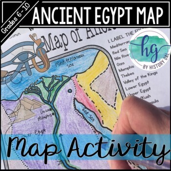
Ancient Egypt Map Activity (Print and Digital Resource)
Students will learn about important places in the Ancient Egypt civilization as they label and color a map. It's also a great way to incorporate geography in your lesson.What's included with the printed version:Blank Ancient Egypt map for students to label and color (1 page, uneditable pdf)Map Key (1 page, uneditable pdf)Ancient Egypt map for students to just color (1 page, uneditable pdf)Informational Reading (1 page, uneditable pdf) Animated PowerPoint shows each location and the key - perfect
Subjects:
Grades:
6th - 10th
Types:
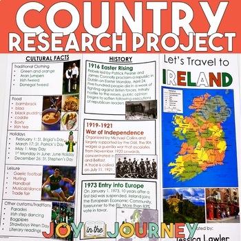
Country Research Project (Print & Digital)
Send your students on a world-wide tour with this print-and-go Country Research Travel Brochure Project! This fun and engaging project includes everything you need to assign the travel brochure, stay organized, guide the students in their research, and assess the final projectDownload includes:Brochure Sample Country Research Project Instructions“My Country Choices” – 4 per page (give one to each student)Student Country Choices Tracking SheetTravel Brochure Layout DirectionsResearch Log Student
Grades:
4th - 6th
Types:
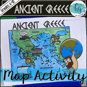
Ancient Greece Geography Map Activity (Print and Digital Resource)
This activity will help students better understand the geography of Greece and its impact on Ancient Greek civilizations. They will label and color the blank map version and then answer a few questions. Alternatively, students can just color on the coloring page version. It's a great way to incorporate geography in your lesson.What's included with the Printed Versions:*Ancient Greece map for students to label, color, and answer 10 questions (1 page map, 1 page directions/questions, uneditable pd
Grades:
6th - 10th
Types:
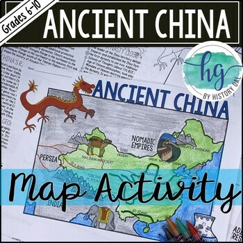
Ancient China Map Activity Lesson (Print and Digital Resource)
This activity will help students better understand the geography of Ancient China. They will label and color the blank map version and answer a few questions. Alternatively, students can just color on the coloring page version. It's a great way to incorporate geography in your lesson.What's included with the printed versions:*Blank Ancient China map for students to label, color, and answer questions (1 page map, 1 page directions, uneditable pdf)*Blank Ancient China map for students to label, co
Grades:
6th - 10th
Types:
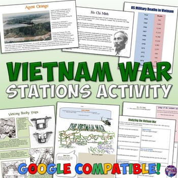
Vietnam War Station Activity for the Cold War
This engaging lesson for the Vietnam War has students rotate through stations to learn about various aspects of America's War in Vietnam. The 7 different stations cover:The Cu Chi TunnelsVietcong Booby TrapsAgent OrangeHo Chi MinhSongs of the Vietnam WarThe Draft and ProtestsMilitary Deaths in the WarEach station engages different intelligences and learning styles. Students create a graph, listen to music, draw pictures, read, answer questions,and analyze pictures. My students are always engaged
Grades:
5th - 10th
Types:
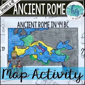
Ancient Rome to 44 BCE Map Activity (Print and Digital)
Students will label and color a map of Ancient Rome in 44 BC/BCE to better understand the expansion of Roman power. Students will also answer 6 questions about the map. What's Included with the print versions:*Blank map with 6 questions for students to answer (2 pages, BC and BCE versions included, uneditable pdf)*Blank map without questions (1 1/2 pages, BC and BCE versions included, uneditable pdf)*Map for students to just color (1 page, BC and BCE versions included, uneditable pdf)*Answer key
Subjects:
Grades:
6th - 9th
Types:
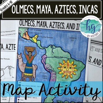
Mesoamerica (Olmecs, Maya, Aztecs) and Incas Map Activity - print & digital
Students will label and color a map to help them visualize and retain the location of the Olmecs, Maya, Aztecs, and Incas in Mesoamerica and South America. They will also label bodies of water and mountain ranges as well as use the map to answer 5 questions. What's Included with the Printed Map:*Blank map with 5 questions for students to answer (2 pages, uneditable pdf)*Blank map without questions (1 1/2 pages, uneditable pdf)*Map for students to just color (1 page, uneditable pdf)*Answer key fo
Subjects:
Grades:
6th - 9th
Types:
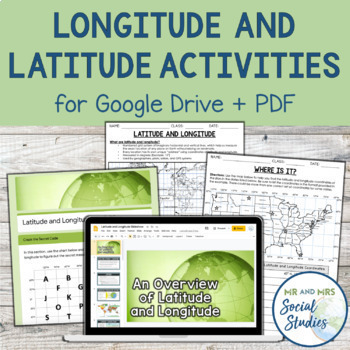
Latitude and Longitude Fun Activities and Practice Worksheet | Google Slideshow
If you are looking for a creative and no-prep resource to teach about latitude and longitude, look no further! This printable and digital activity includes an editable Google Slideshow to teach your students about latitude and longitude, and three different practice activities, giving your students the chance to decode secret messages, figure out mystery locations on a world map, and determine the coordinates of various US states.This resource goes beyond traditional longitude and latitude works
Grades:
5th - 8th
Types:
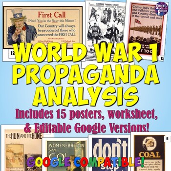
World War 1 Propaganda Analysis Activity
This lesson on WW1 Propaganda has students utilizing higher-level thinking skills to analyze 15 primary source propaganda posters. Everything you need is included for the lesson plan, including a worksheet, 15 full color propaganda posters, and an answer key.The worksheet explains the 5 main objectives of wartime propaganda and has students come up with their own personal definition of propaganda. They then determine the goal of each poster based on the objectives. This provides a framework for
Grades:
7th - 12th
Types:
COLD WAR -BUILD A BOMB SHELTER -The Arms Race - Print & Digital - FUN!
This is a fun and engaging activity when teaching about the arms race during the Cold War. Includes both print and digital versions. Students will begin by reading and watching an informational, 1950s film clip about how to create a bomb shelter and then they will create their own by designing their shelter and listing the items they will bring. Fun!Buyer Feedback:I used this resource as an intro to the Cold War to give my students an engaging first look at that period. They really enjoyed it; e
Grades:
9th - 12th
Types:
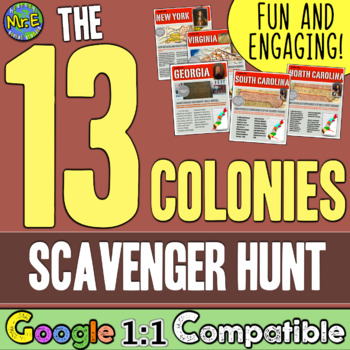
13 Colonies Map and Scavenger Hunt Activity
In this 13 Colonies activity and map scavenger hunt, students complete a gallery walk on the colonization of the 13 American Colonies. Students navigate around the room examining each colony's station to understand the reason behind its founding. Students can work individually or they can create groups and, before they are turned loose, divide up the responsibilities to research the founding of the 13 Colonies and detail the 13 Colonies map. This lesson is a great introduction to the 13 colo
Subjects:
Grades:
5th - 8th
Types:
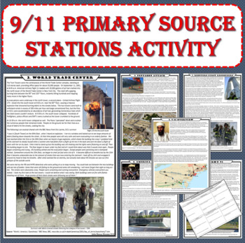
September 11th (9/11) Terrorist Attacks Stations Activity (PDF and Digital)
"We had reached either the 51st or the 50th floor when we heard a huge explosion, which shook the building...the lights were flickering on and off. Then the building began to sink. The floor began to lower under my feet...People began screaming and crying"The intent of this NO PREP primary source lesson is to expose students to a variety of topics in a short amount of time using fun and engaging methods. The resource is available in print and Google Docs formats! Simply print and go for in-class
Grades:
6th - 10th
Types:
CCSS:
Also included in: US History - 1877 to the Present - Station Activities GROWING BUNDLE
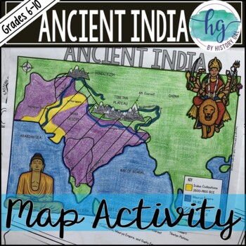
Ancient India Map Activity (Indus Civilizations, Maurya & Gupta Empire)
Students will label and color a map to help them visualize and retain the location of the Indus Civilizations, Maurya Empire, and Gupta Empire as well as key geographical features such as the Brahmaputra, Ganges, and Indus Rivers; Eastern and Western Ghats; Himalayas; Hindu Kush, and more. Students will also use the map to answer 5 questions. What's Included with the printed versions:*Blank map with 5 questions for students to answer (2 pages, uneditable pdf)*Blank map without questions (1 1/2 p
Subjects:
Grades:
6th - 9th
Types:
Also included in: Ancient India Bundle
Ancient China Dynasties Activity | Han, Qin, Zhou, Shang, Tang in Ancient China
This engaging activity on Ancient China Dynasties teaches the major contributions of the Shang, Zhou, Qin, Shang, and Tang dynasties in an engaging and informative way. In this China resource, student groups work together to fill out a graphic organizer timeline that shows these major dynasties of Ancient China. This lesson includes student-friendly text for each of the dynasties and a large graphic organizer for their team to record their information! ☆ ☆ Get this engaging resource (and a hug
Grades:
5th - 9th
Types:
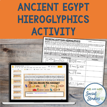
Ancient Egypt Hieroglyphics Decoding Activity | Digital and Printable Worksheets
Teach your students about hieroglyphics in this engaging, digital and printable Hieroglyphics Activity! In this no-prep activity, students will decode 10 secret phrases and translate them to English. There are also a few slides of background information about hieroglyphics and the Rosetta Stone, in addition to an optional enrichment activity where students create their own secret messages.This Ancient Egypt Hieroglyphics Activity includes:Teacher GuideGoogle Slideshow with Editable Text (ready t
Grades:
5th - 8th
Types:
Also included in: Ancient Egypt Unit Bundle | Activities, Projects, Notes, Timeline, Test
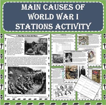
MAIN Causes of World War I (WWI) Stations Activity (PDF and Google Docs Formats)
This NO PREP stations activity presents descriptions of the causes of WWI with visually appealing photos, political cartoons, maps, graphs, etc. The resource is available in both PDF and Google Docs formats! This activity will help to increase student growth using an engaging and effective method!Each station of this NO PREP activity contains a description of one of the causes of WWI. After completing this lesson, students will understand how tensions in Europe led to widespread and rapid warf
Grades:
5th - 10th
Types:
Also included in: World War I (WWI) Stations Activity BUNDLE (PDF and Google Docs Formats)
Escape the Berlin Wall Lesson: Interactive Project for the Cold War
This Escape Room style lesson helps students learn about the Berlin Wall and Cold War division between the East and West as they "Escape From Berlin"! Students move through 9 stations on different aspects of the Berlin Wall. These stations are: Plans for a Wall Around BerlinThe Building of The Berlin WallThe Death StripCheckpoint CharlieBerlin Wall GraffitiA Convertible EscapeA Daring Hot Air Balloon EscapeEscaping with a Stolen TankA Tunnel Into East BerlinAt each station students complete a re
Grades:
7th - 10th
Types:
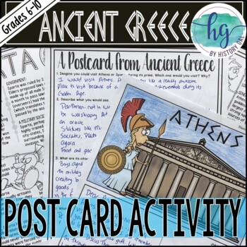
Ancient Greece Postcard Activity for Athens and Sparta (Print and Digital)
Students will read about the Ancient Greek city-states of Athens and Sparta and then create a postcard.This download includes:*Information sheets for Sparta and Athens (2 pages; uneditable PDFs)*Student Instructions (2 different versions, 1 page each; uneditable PDFs)*Blank postcard template (1 page; uneditable PDF & digital versions- students type into text boxes; PowerPoint and Google Slides versions; not editable in PowerPoint or Slides )*Pre-made postcards for students to color and write
Grades:
6th - 10th
Types:
Also included in: Ancient Greece Bundle
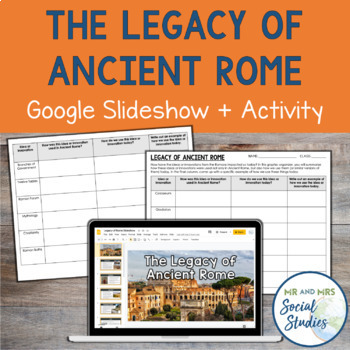
The Legacy of Ancient Rome Google Slideshow and Activity
Help your students understand the impact and legacy of Ancient Rome with this printable and digital activity! This no-prep resource includes a detailed Google Slideshow that teaches about 12 different innovations of the Romans and an analysis activity that helps students make connections between Ancient Rome and modern society.To use this resource, begin by presenting the slideshow or sharing it with your students. Then, students will work on the corresponding graphic organizer. On the graphic o
Grades:
6th - 9th
Also included in: Ancient Rome Unit Bundle | Activities, Simulation, Notes, Timeline, Test
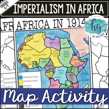
Imperialism in Africa Map Activity Lesson for World History (Print and Digital)
Students will learn about the scramble for Africa by labeling colonies and coloring the map to show which European nations controlled which colonies and which countries remained independent. Students will also answer 3 questions about the map.What's Included with the printed version:*Blank Africa in 1914 map with questions for students to answer (2 pages)*Blank Africa in 1914 map without questions (1 1/2 pages)*Coloring Page for Africa in 1914 map (1 page)*Answer key for map and questions (2 pa
Subjects:
Grades:
6th - 10th
Types:
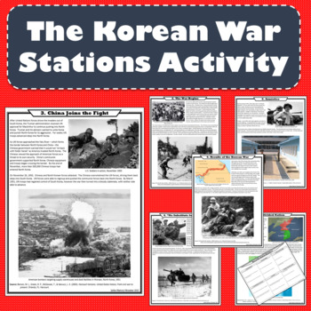
The Korean War Stations Activity (Print and Digital Formats)
The intent of this lesson is to expose students to a variety of topics in a short amount of time using fun and engaging methods. Each station of this NO PREP activity examines an aspect of the war. After completing this lesson, students will understand the major causes, events, and results of the Korean War. Students will examine each of the following topics: 1. A Divided Nation, 2. The War Begins, 3. China Joins the Fight, 4. “No Substitute for Victory”, 5. Armistice, 6. Results of the Korean W
Grades:
6th - 9th
Types:
Also included in: US History - 1877 to the Present - Station Activities GROWING BUNDLE
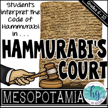
Hammurabi's Code Activity and Doodle Notes
In this fun and engaging Hammurabi’s Code activity, students will use the Code of Hammurabi to decide the verdict for six fictional court cases they create. Make it more exciting by dressing up as a judge as you preside over the cases that students act out!This Hammurabi’s Code activity Includes:*Doodle Notes on Hammurabi’s Code (1 page; includes blank, fill in the blanks, coloring page, and color versions with BC and BCE dates; includes fillable PDF and Google Slides versions) *PowerPoint fo
Subjects:
Grades:
6th
Types:
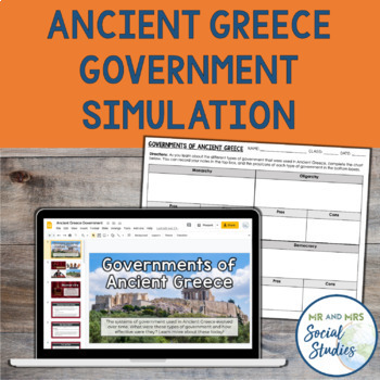
Ancient Greece Government Simulation Activity | Monarchy, Oligarchy, Democracy
This Ancient Greece Government Google Slideshow and Simulation will help your students understand monarchy, oligarchy, tyranny, and democracy in an interactive and meaningful way! No-prep required with this resource...simply present the slideshow to your students and give them either a printed or digital copy of the included graphic organizer. The slideshow guides you and your students through each type of government, one at a time. There are at least five slides included for each of the four ty
Subjects:
Grades:
6th - 9th
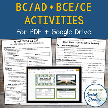
BC AD BCE CE Timeline Activity for Google Drive and PDF
If you are looking for a simple and effective way to teach BC AD and/or BCE CE to your students, you are in the right place! This no-prep resource for Google Drive + PDF not only teaches students about BC/AD + BCE/CE, but also gives them opportunity to practice!This resource includes:Teacher Guide (PDF)Student Handouts (Information Sheet + Worksheet, with answer keys)Editable Google SlideshowEditable Google Doc versions of the Student HandoutsSelf-Grading Google Forms (one version for BC/AD and
Grades:
6th - 9th
Types:
Showing 1-24 of 20,086 results


