43 results
Geography Common Core RST.6-8.4 resources
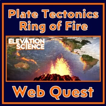
Plate Tectonics Volcanoes In the Ring of Fire Activity Webquest
GOOGLE DOCS AND PRINT VERSION INCLUDED! In this FUN plate tectonics activity, students find REAL data about 3 volcanoes in the Ring of Fire. The worksheet provides a structured format for students to get the most out of the Global Volcanism Program’s interactive, an up-to-date map of volcanoes throughout the world. Students are engaged because they choose the volcanos they research during the webquest.This webquest covers the following:The relationship between tectonic plate boundaries and vo
Subjects:
Grades:
7th - 9th
Types:
NGSS:
MS-ESS3-2
, HS-ESS3-1
Also included in: Plate Tectonics Activity Webquests BUNDLE Ring of Fire and US Volcanoes
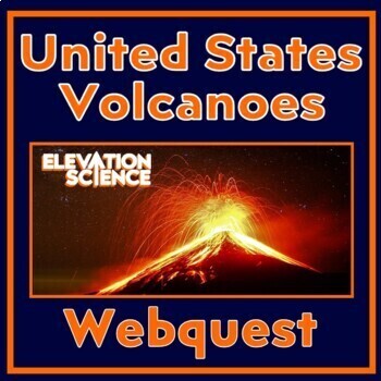
Volcano Activity ACTIVE Volcanoes of the United States Plate Tectonics Webquest
GOOGLE DOCS AND PRINT VERSION INCLUDED! In this FUN plate tectonics activity, students find REAL data about ACTIVE volcanoes in the United States.The worksheet provides a structured format for students to get the most out of the U.S. Geological Society's website, an up-to-date interactive map of ACTIVE volcanoes in the United States. Students are engaged because they choose the volcanoes they research during the webquest.This webquest covers the following:The relationship between tectonic plate
Subjects:
Grades:
6th - 9th
NGSS:
MS-ESS2-2
Also included in: Plate Tectonics Activity Webquests BUNDLE Ring of Fire and US Volcanoes
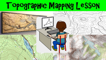
Topographic Mapping Lesson with Worksheet, Power Point, and Map Reading Activity
This lesson goes over how topographical maps are constructed, what their symbols mean, and what we use these maps for. The worksheet follows along with the power point presentation to keep students engaged. The map reading activity gives a students a simple topographic map that they have to answer questions by interpreting the map. This lesson is designed for late elementary through intermediate grades.
Key Terms Include:
- topography
- contour lines
- contour intervals
- index contours
- scal
Subjects:
Grades:
4th - 8th
Types:
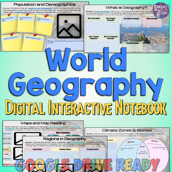
Introduction to World Geography Digital Interactive Notebook Activities
This Introduction to World Geography digital interactive notebook features 15 fully-editable pages of activities on Geography for Google Drive.Topics covered include: What is Geography?The 5 Themes of GeographyMaps & Map ReadingRegionsLandforms & Plate TectonicsOceans & Water SystemsPopulation and DemographicsDeveloped vs Developing NationsCultureForms of GovernmentEconomic SystemsVocabulary activities and more! There are links to online readings (with audio accommodation available)
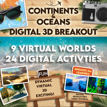
Continents and Oceans 360 VR Digital Escape Room/Breakout
Engage your students in an interactive 360° VR Digital Breakout to delve into the fascinating realms of continents and oceans without any extra work on your part! With 9 virtual worlds to navigate and 24 stimulating digital activities, students will grasp the concepts of the seven continents and five oceans in an exciting new way.⭐⭐ Don't miss out on exclusive deals! Follow me to get notified about my newest products and receive a 50% discount on all new items for 24 hours.⏩️ PLEASE TEST THE LI
Grades:
4th - 8th
Types:
Also included in: Escape Room, Breakout - All Digital Bundle 360 Virtual Reality!
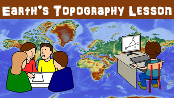
Earth's Topography No Prep Lesson with Power Point, Worksheet and Vocabulary
This lesson goes over the different types of topography that are found around the globe. It includes explaining the different types of land forms such as mountains, plains, and plateaus. The worksheet follows along with the power point presentation to keep students engaged. This lesson is designed for late elementary through intermediate grades.
Key Terms Include:
- topography
- elevation
- relief
- land forms
- plains
- coastal plains
- interior plains
- mountains
- plateaus
- land form regio
Subjects:
Grades:
4th - 8th
Types:
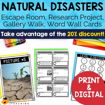
Natural Disasters and Extreme Weather Activities | Vocabulary and Posters BUNDLE
Prepare your students for a deeper understanding of natural disasters and extreme weather with this comprehensive bundle of resources. This bundle offers a 20% discount compared to purchasing each item separately. Dive into engaging activities and vocabulary-building exercises, enhancing students' knowledge of natural disasters and severe weather.View the Preview to see some of the natural disaster activities.Here's why you should choose this natural disaster bundleComprehensive Coverage: This b
Subjects:
Grades:
4th - 7th
Types:
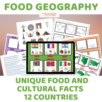
Food Culture and Cultural Geography - Sorting Mats & Activities!
Explore the rich tapestry of global food culture and cultural geography with "Food Culture and Cultural Geography," a captivating unit study designed to foster hands-on learning and deepen students' understanding of diverse cultures around the world. Perfect for diverse learners, this comprehensive resource offers a variety of activities tailored to accommodate different learning styles and abilities.Key Features:Sorting mats provide hands-on learning opportunities for students of all ages and a
Grades:
PreK - 12th
Also included in: Wings of Fire Book 1 Novel Study and Food Geography Bundle
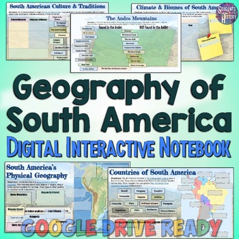
South America Geography Digital Interactive Notebook & Map Activities
This South America digital interactive notebook features 10 fully-editable pages of maps and engaging geography activities for your World Geography classroom.Topics covered in the activities include: South America's physical geographyThe countries of South AmericaClimate & biomesA timeline of South AmericaThe Andes MountainsThe Amazon RainforestRegions of South AmericaAuthoritarian dictators South American culture and traditionsVocabulary and more! There are links to online readings (with a

Climate Zones, Biomes, and Physical Features of the World
Use this bundle as a guide for teaching climate zones, biomes, and physical features of our world. Perfect for any secondary level geography, earth science, or physical science course.
Subjects:
Grades:
5th - 8th
CCSS:
Monitoring Earthquakes No Prep Lesson with Power Point, Worksheet, and Activity
This lesson goes over the different types of equipment used to measure the strength of earthquakes. Some equipment we use today has origins that can be traced back 2000 years ago to ancient China. The activity gives students a chance to interpret seismograms to compare earthquakes. The worksheet follows along with the power point presentation to keep students engaged. This lesson is designed for late elementary through intermediate grades.
Key Terms Include:
- seismograph
- seismogram
- tiltme
Subjects:
Grades:
4th - 8th
Types:
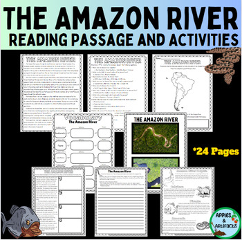
The Amazon River Reading Passage and Activities
Take your students on an educational adventure to the Amazon River with this resource packet. Students will be able to read, write, and draw about one of the most extraordinary ecosystems of our planet! Perfect for classrooms, homeschooling, or independent learners keen on exploring the wonders of the Amazon River. The following pages are included:KWL Graphic organizerReading Passage Reading Passage with notesMultiple Choice Review Questions (10)Short Answer Question (10)Amazon River Acrostic Po
Subjects:
Grades:
5th - 9th
Types:
CCSS:
Also included in: Amazon River and Amazon Rainforest Reading Passage and Activity Bundle
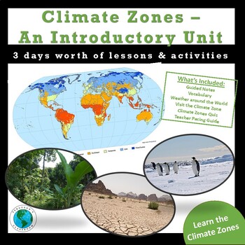
Climate Zones - An Introductory Unit
Climate Zones - An Introductory UnitIn this introductory unit, students will focus on the 5 major climate zones around the world and explore characteristics of each in a variety of ways. Help your students understand why they experience the weather that they do and help them get a sense of what life is like outside of the location in which they live. This 3 day resource includes guided notes, key vocabulary, 2 different assignments, and an assessment to help students understand the basic facts
Subjects:
Grades:
5th - 8th
Types:
Also included in: Climate Zones, Biomes, and Physical Features of the World
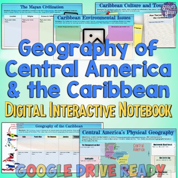
Central America & Caribbean Geography Digital Interactive Notebook Activities
This Central America and the Caribbean digital interactive notebook features 10 fully-editable pages of activities on the geography of these regions for your World Geography classroom.Topics covered in the activities include: Central America's physical geographyEnvironmental Issues The Maya and Indigenous CivilizationsThe Panama CanalTaíno, Kalinago, & Indigenous CaribbeansGeography of the CaribbeanCaribbean Culture and TourismCaribbean Environmental IssuesVocabulary and more! There are link

Geography of North America Digital Interactive Notebook Activities Set
This North America Geography digital interactive notebook features 11 fully-editable pages of activities on the geography of Canada, Mexico, and the United States for Google Drive.Topics covered include: The physical geography of North AmericaNorth America's climate & biomes Indigenous Civilizations of Canada, the US, & MexicoHuman Geography Landforms & Climates of the US Canada's Provinces Canada's Natural Resources Mexico's Geography & Culture Comparing the US, Canada, & Me
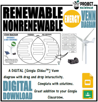
Renewable and Nonrenewable Energy Digital Venn Diagram - Distance Learning
An interactive digital Venn diagram covering the features of renewable and non-renewable energy. A great interactive activity for comparing and contrasting these two types of energy.Includes the following:➸ Venn diagram blank template➸ Features of renewable and non-renewable energy information boxes➸ Venn diagram solutionHow to use:Click on the links below to access the resources.In the browser window that opens click on the ‘make a copy ‘ button.The file will open in Google Slides.Share the fil
Subjects:
Grades:
4th - 12th
CCSS:
NGSS:
4-ESS3-1
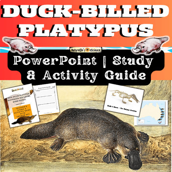
Platypus PowerPoint with Activity and Study Guide
Get ready to explore the world of the Duck-billed platypus, one of the most bizarre and mysterious mammals in the world from eastern Australia and Tasmania. Platypus facts include that they sport a tail like a beaver, bill and feet like a duck, and lay eggs like a bird! Platypuses give birth to furless babies called puggles. What's Included:One Quick Start GuideOne 23-slide animated PowerPoint (both PPTX and PDF file types)One 20-page fillable student activity and study guideOne 26-page EDITABLE
Subjects:
Grades:
3rd - 8th
NGSS:
4-LS1-1
, MS-LS1-4
, 4-LS1-2
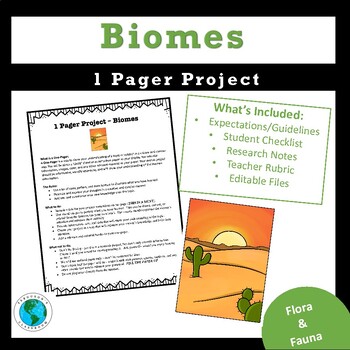
Biomes of the World - 1 Pager Project
Biomes - One Pager ProjectHelp your students understand the unique and diverse biomes around the world through this one-pager research project. I use this a culminating project at the end of our unit, but it can be adapted however you'd like. I also create a gallery walk w/ questions to allow students to view other's one-pager projects. This is a very engaging and effective way to help students learn about the ecosystems of the world and the flora and fauna that call them home. What's includ
Subjects:
Grades:
5th - 8th
Flight of Knowledge - A Digital Odyssey of Discovery and Learning
Embark on an educational odyssey with "Flight of Knowledge - A Digital Odyssey of Discovery and Learning."Designed to captivate middle school students and invigorate your teaching experience. These lessons are not just a curriculum; they're an invitation to unlock the extraordinary potential within your classroom.Engaging lessons on digital literacy, public speaking, active listening, and creative writing — all taught through the lens of fascinating "fun facts" that students will love.Here's wha
Subjects:
Grades:
6th - 9th
Types:
NGSS:
MS-LS2-1
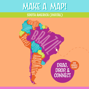
South America Map Digital Map-Making Activity | Google Slides™
In this interactive South America map and geography activity, students drag and drop the South American countries to form the entire continent.Each of the countries is a puzzle piece. Students put together the map on the blank South American continent map provided, with the country borders drawn in as guidance.This is an excellent geography project for kids to learn the South American continent. It's a simple introduction to South America and would work well with any continent study, Spanish les
Subjects:
Grades:
5th - 8th
Also included in: Digital Geography Mega Bundle
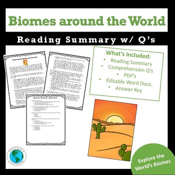
Biomes around the World - Reading Summary w/ Comprehension Q's
Biomes around the World - Reading Summary w/ Comprehension Q'sThis resource is a 2 page summary of biomes and an analysis of the treats that they face in our ever-changing world. Also included are 5 reading comprehension questions to assess student comprehension. Use this in any secondary level classroom as an introduction to your biomes unit. Included are both PDF files and editable word docs. for teacher convenience and adaptability. Check out the 1 Pager Biome Project here:Biome 1 Pager P
Subjects:
Grades:
5th - 8th
Types:
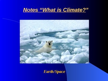
Earth/Space Lesson I PowerPoint "What is Climate?"
This lesson aligns with the Common Core State Standards (CCSS):"STANDARD 7 - The EarthThe teacher understands the dynamic nature of the Earth and recognizes that its features and structures result from natural processes.Knowledge Indicators - The competent science teacher:7A. understands the structure and composition of the Earth's land, water and atmospheric systems.7B. understands the transfer of energy within and among Earth's land, water and atmospheric systems."First lesson in the Earth/Spa
Subjects:
Grades:
6th - 10th
CCSS:
NGSS:
MS-ESS2-4
, MS-ESS2-6
, MS-ESS2-5
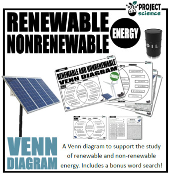
Renewable and Nonrenewable Energy Venn Diagram
The renewable and nonrenewable energy Venn diagram graphic organizer is a great way for students to compare and contrast the characteristics of both types of energy.Includes two versions:Version 1. Students cut and paste labels onto the correct part of the Venn diagram.Version 2. Students write the correct statement into boxes on the Venn diagram.Also includes a bonus word search and comes with an answer key.Great accompaniments to this resource:Renewable and Non-renewable Energy PowerPoint and
Subjects:
Grades:
4th - 12th
Types:
CCSS:
NGSS:
4-ESS3-1
Also included in: Physics Venn Diagrams Bundle
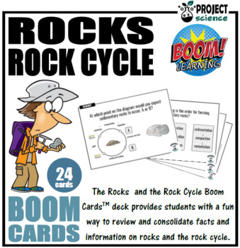
Rocks and the Rock Cycle Boom Cards™ - Distance Learning
The digital Rocks and the Rock Cycle Boom Cards™ deck provides students with a fun interactive way to review and consolidate facts and information on different rock types and the rock cycle.Includes the following topics:➸ intrusive and extrusive igneous rocks➸ rock types [igneous, metamorphic, sedimentary]➸ rock formation➸ rock cycleHow to use:1. Click on the link provided to access the Boom Cards™deck.2. This will redirect you to the Boom Learning™ website.3. Select the ‘Redeem’ option.4. This
Subjects:
Grades:
4th - 8th
Types:
CCSS:
NGSS:
MS-ESS2-1
Showing 1-24 of 43 results


