20 results
4th grade geography Common Core RST.6-8.4 resources
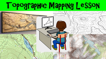
Topographic Mapping Lesson with Worksheet, Power Point, and Map Reading Activity
This lesson goes over how topographical maps are constructed, what their symbols mean, and what we use these maps for. The worksheet follows along with the power point presentation to keep students engaged. The map reading activity gives a students a simple topographic map that they have to answer questions by interpreting the map. This lesson is designed for late elementary through intermediate grades.
Key Terms Include:
- topography
- contour lines
- contour intervals
- index contours
- scal
Subjects:
Grades:
4th - 8th
Types:
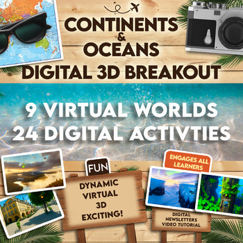
Continents and Oceans 360 VR Digital Escape Room/Breakout
Engage your students in an interactive 360° VR Digital Breakout to delve into the fascinating realms of continents and oceans without any extra work on your part! With 9 virtual worlds to navigate and 24 stimulating digital activities, students will grasp the concepts of the seven continents and five oceans in an exciting new way.⭐⭐ Don't miss out on exclusive deals! Follow me to get notified about my newest products and receive a 50% discount on all new items for 24 hours.⏩️ PLEASE TEST THE LI
Grades:
4th - 8th
Types:
Also included in: Escape Room, Breakout - All Digital Bundle 360 Virtual Reality!
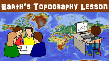
Earth's Topography No Prep Lesson with Power Point, Worksheet and Vocabulary
This lesson goes over the different types of topography that are found around the globe. It includes explaining the different types of land forms such as mountains, plains, and plateaus. The worksheet follows along with the power point presentation to keep students engaged. This lesson is designed for late elementary through intermediate grades.
Key Terms Include:
- topography
- elevation
- relief
- land forms
- plains
- coastal plains
- interior plains
- mountains
- plateaus
- land form regio
Subjects:
Grades:
4th - 8th
Types:
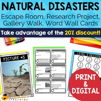
Natural Disasters and Extreme Weather Activities | Vocabulary and Posters BUNDLE
Prepare your students for a deeper understanding of natural disasters and extreme weather with this comprehensive bundle of resources. This bundle offers a 20% discount compared to purchasing each item separately. Dive into engaging activities and vocabulary-building exercises, enhancing students' knowledge of natural disasters and severe weather.View the Preview to see some of the natural disaster activities.Here's why you should choose this natural disaster bundleComprehensive Coverage: This b
Subjects:
Grades:
4th - 7th
Types:
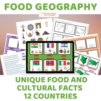
Food Culture and Cultural Geography - Sorting Mats & Activities!
Explore the rich tapestry of global food culture and cultural geography with "Food Culture and Cultural Geography," a captivating unit study designed to foster hands-on learning and deepen students' understanding of diverse cultures around the world. Perfect for diverse learners, this comprehensive resource offers a variety of activities tailored to accommodate different learning styles and abilities.Key Features:Sorting mats provide hands-on learning opportunities for students of all ages and a
Grades:
PreK - 12th
Also included in: Wings of Fire Book 1 Novel Study and Food Geography Bundle
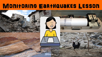
Monitoring Earthquakes No Prep Lesson with Power Point, Worksheet, and Activity
This lesson goes over the different types of equipment used to measure the strength of earthquakes. Some equipment we use today has origins that can be traced back 2000 years ago to ancient China. The activity gives students a chance to interpret seismograms to compare earthquakes. The worksheet follows along with the power point presentation to keep students engaged. This lesson is designed for late elementary through intermediate grades.
Key Terms Include:
- seismograph
- seismogram
- tiltme
Subjects:
Grades:
4th - 8th
Types:
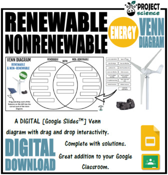
Renewable and Nonrenewable Energy Digital Venn Diagram - Distance Learning
An interactive digital Venn diagram covering the features of renewable and non-renewable energy. A great interactive activity for comparing and contrasting these two types of energy.Includes the following:➸ Venn diagram blank template➸ Features of renewable and non-renewable energy information boxes➸ Venn diagram solutionHow to use:Click on the links below to access the resources.In the browser window that opens click on the ‘make a copy ‘ button.The file will open in Google Slides.Share the fil
Subjects:
Grades:
4th - 12th
CCSS:
NGSS:
4-ESS3-1
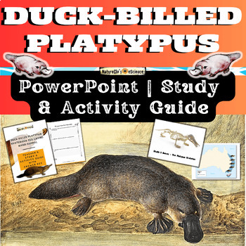
Platypus PowerPoint with Activity and Study Guide
Get ready to explore the world of the Duck-billed platypus, one of the most bizarre and mysterious mammals in the world from eastern Australia and Tasmania. Platypus facts include that they sport a tail like a beaver, bill and feet like a duck, and lay eggs like a bird! Platypuses give birth to furless babies called puggles. What's Included:One Quick Start GuideOne 23-slide animated PowerPoint (both PPTX and PDF file types)One 20-page fillable student activity and study guideOne 26-page EDITABLE
Subjects:
Grades:
3rd - 8th
NGSS:
4-LS1-1
, MS-LS1-4
, 4-LS1-2
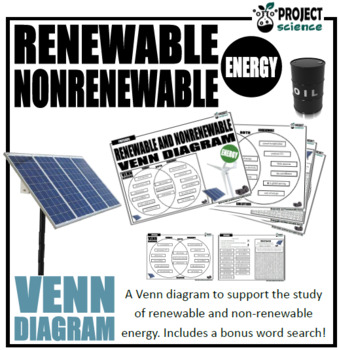
Renewable and Nonrenewable Energy Venn Diagram
The renewable and nonrenewable energy Venn diagram graphic organizer is a great way for students to compare and contrast the characteristics of both types of energy.Includes two versions:Version 1. Students cut and paste labels onto the correct part of the Venn diagram.Version 2. Students write the correct statement into boxes on the Venn diagram.Also includes a bonus word search and comes with an answer key.Great accompaniments to this resource:Renewable and Non-renewable Energy PowerPoint and
Subjects:
Grades:
4th - 12th
Types:
CCSS:
NGSS:
4-ESS3-1
Also included in: Physics Venn Diagrams Bundle
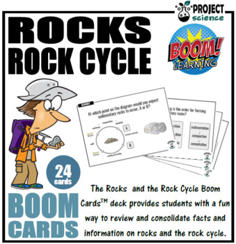
Rocks and the Rock Cycle Boom Cards™ - Distance Learning
The digital Rocks and the Rock Cycle Boom Cards™ deck provides students with a fun interactive way to review and consolidate facts and information on different rock types and the rock cycle.Includes the following topics:➸ intrusive and extrusive igneous rocks➸ rock types [igneous, metamorphic, sedimentary]➸ rock formation➸ rock cycleHow to use:1. Click on the link provided to access the Boom Cards™deck.2. This will redirect you to the Boom Learning™ website.3. Select the ‘Redeem’ option.4. This
Subjects:
Grades:
4th - 8th
Types:
CCSS:
NGSS:
MS-ESS2-1

Landforms geography and geology game for multi-players
Let your students practice their landform knowledge in a way they will LOVE! The Best Ever Landforms Game uses a simple yet exciting strategy that lets students build their own “land” and amass new landforms. Using lingo from modern video games that the students will understand, they will be begging to play this game again and again! Even my most reluctant learners ask me, “When can we play that game again?”Each game piece has a hand-drawn image of the landform it depicts. Students must give the
Subjects:
Grades:
4th - 7th
Types:
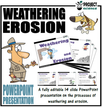
Weathering and Erosion PowerPoint and Activity Sheets
A fully editable 14 slide PowerPoint presentation on the geological processes of weathering and erosion. Includes slides on the following topics:Weathering definitionPhysical weathering [freeze-thaw process]Chemical weatheringBiological weatheringErosion definitionWater erosionWind erosionIce erosionComes with a weathering and erosion activity sheet as well as a bonus word search with solutions on key terminology.If you would like notifications on free and new resources as well as upcoming sales
Subjects:
Grades:
4th - 8th
CCSS:
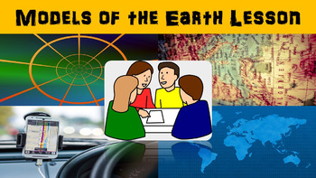
Earth Models No Prep Lesson with Power Point, Worksheet and Coordinates Activity
This lesson begins with going over how Greek scientists made the discovery that the Earth was a sphere. It was very challenging to accurately map the Earth so scientists today use a grid system. Scientists can also make map projections using different techniques, but each technique has its own drawback. The worksheet that is included goes along with the power point presentation to keep students engaged. This lesson is designed for late elementary through intermediate grades.
Key Terms Include
Subjects:
Grades:
4th - 8th
Types:

Volcanoes Bundle
A complete set of resources for students studying volcanoes. Includes four essential resources for teaching and learning about volcanoes through a variety of activities and games. Answer keys included.
Subjects:
Grades:
4th - 8th
CCSS:
NGSS:
MS-ESS2-2
![Preview of Phases of the Moon Card Sort [Moon Phases]](https://ecdn.teacherspayteachers.com/thumbitem/Phases-of-the-Moon-Card-Sort-4508132-1614552754/original-4508132-1.jpg)
Phases of the Moon Card Sort [Moon Phases]
The Phases of the Moon card sort is comprised of 3 cards for each of the eight different phases [description, name and an image]. Simply print and then cut out the set of cards [laminate if you wish to make class sets]. Students then shuffle the cards and sort them into their correct sets. Comes 6 blank cards to add additional information. Works great as a starter activity, plenary or review. Could also be used for concentration and snap.Moon Phases included:1. New Moon2. Waxing Crescent3. First
Subjects:
Grades:
4th - 8th
Types:
CCSS:
NGSS:
MS-ESS1-1
Also included in: Phases of the Moon Bundle [Mini]
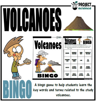
Volcanoes Bingo
A bingo game designed to help students learn the key vocabulary associated with the study of volcanoes. Includes a bonus PowerPoint of the bingo terms, word search and matching activity.Includes the following key terms and definitions:magmalavaa’a lavapahoehoe lavepillow lavaactive volcanodormant volcanoextinct volcanoshield volcanocomposite volcanomain ventside ventmagma chambercraterash cloudvolcanic bombThe bingo kit also comes with:A fully editable PowerPoint presentation which contains each
Subjects:
Grades:
3rd - 8th
CCSS:
NGSS:
MS-ESS2-2
Also included in: Volcanoes Bundle
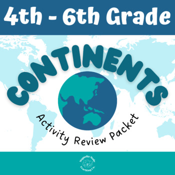
7 Continents Geography Review PDF and EASEL Activity
Maximize your teaching time with this cross-curricular continents lesson! Your students will learn about the evolution of the continents as well as their locations with this 7 Continents Geography Review Activity Packet. This continents activity packet can be used as an introduction or a review of geography focused on the continents and a snapshot of how continents were formed.In this activity, students will:Recall the 7 continents and list them in alphabetical order.Read a short passage about
Subjects:
Grades:
3rd - 6th
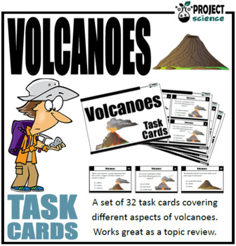
Volcanoes Task Cards
A set of 24 task cards designed for students to independently or in groups review and consolidate volcanoes. The cards include questions on structure, types of volcanoes, types of lava as well as general knowledge style questions.Includes in this kit:➸ 24 task cards in color.➸ Student solution sheet on which to record answers.➸ Teacher answer key.There are 4 cards on each sheet [6 sheets in total]. They can be printed in grayscale or color [single or double sided]. Save paper and time by laminat
Subjects:
Grades:
4th - 8th
Types:
CCSS:
NGSS:
MS-ESS2-2
Also included in: Volcanoes Bundle
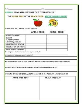
COMPARE/ CONTRAST: TWO FRUIT TREES: APPLE TREE & PEACH TREE:
This is a botany activity. Use it for a graded assignment in science. The intention is to increase science knowledge from early grades onward.....Botany is an important science for mankind's survival. Thanks ever so much for visiting! Knowledge is power!
Subjects:
Grades:
3rd - 8th
Types:
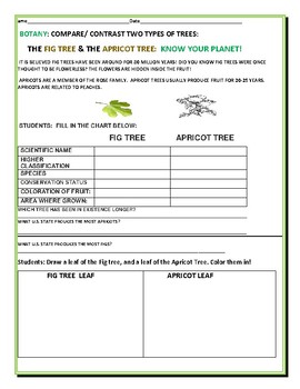
COMPARE/CONTRAST: THE FIG TREE & THE APRICOT TREE: A BOTANY ACTIVITY
Trees are important to our agriculture. This activity compares two trees, with facts, and an art portion. Use it for a gradable science assignment, or in a science center! Use it on a spring bulletin board! Thanks for visiting. Botany is amazing!
Subjects:
Grades:
4th - 9th
Types:
Showing 1-20 of 20 results


