396 results
Geography Common Core CCRA.W.8 resources
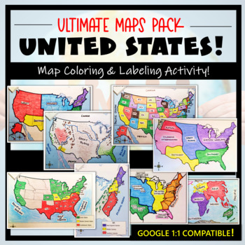
U.S. Maps & Geography- The Ultimate Label & Color Maps Pack! (American History)
This United States Ultimate Maps & Geography Pack includes eight different maps for your American History student explorers- Political Map, Physical Map, Native American Cultural Regions, 13 Colonies, Westward Expansion, 5 Regions, Civil War, and a World Map. These labeling and coloring activities are interactive, engaging, and ready to use- just print and copy! A Teacher’s Guide is provided, as well as options for use to fit your curriculum/lesson. You will also receive a completed, col
Grades:
3rd - 10th
Types:
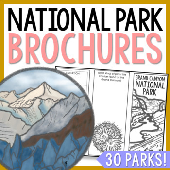
NATIONAL PARK Research Projects | USA American Landmarks Report Activities
This bundle of 30 national park brochure projects is a fantastic way for your students to explore a huge variety of landscapes across North America. Each no-prep activity can be completed in a few different ways. You can provide your students with the information to fill out their brochures, or have them find the information through Internet research. If your students are inexperienced with Internet research, guide them through the process by projecting a search that you lead. NPS.gov and Britta
Grades:
3rd - 8th
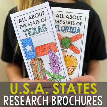
USA States Research Report Activity Projects | United States Regions Worksheets
These (50) 2-sided brochure projects are packed with information for students to research. This activity can be completed in a few different ways. You can provide your students with the information to fill out their brochures, or have them find the information through Internet research. If your students are inexperienced with Internet research, guide them through the process by projecting a search that you lead. Ducksters.com and Britannica.com are two of my favorite places for students to resea
Grades:
3rd - 6th
Types:
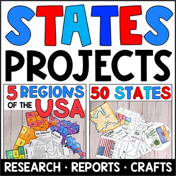
5 Regions of the USA and State Report Research Project: BUNDLE
Looking for ways to engage your students as you teach about the states and regions of the United States? These bundled USA-themed products are the ideal extensions to your United States geography unit! Students are engaged as they research the regions of the USA, as well as each individual state, and create the interactive projects. Great for group work, writing centers, and to enhance your social studies units, these no-prep projects are packed full of content.Teachers often like to start by a
Grades:
3rd - 5th
Types:
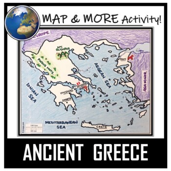
Ancient Greece Map Activity- Label and Color!
This Ancient Greece Map Coloring & Labeling Activity is a great resource to enhance your unit! Each student will make their own, personalized map of the Greek Empire, and learn about the geography and landmarks of the region. They will label and color their blank map, and answer follow-up questions related to the geography of Ancient Greece. Included is a 'Travel Brochure' project. It is a great way to connect this map activity to your lesson on Ancient Greece! In addition, this activity h
Grades:
5th - 10th
Types:
Also included in: Ancient Civilizations / World Maps BUNDLE- Color & Label Activities!
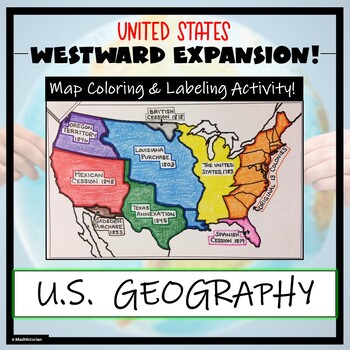
Westward Expansion Map Activity (Label and Color the Map!)
This US Geography Map Activity is a MUST for students who are learning about Westward Expansion! Students will identify, label, and color the various territories that were acquired by the United States to complete the borders that it has today. Directions for labeling and coloring are provided. A completed and colored map is provided for reference, but this map can be completed using a textbook or online resource as well. This is a creative and engaging way of supplementing lessons on geograph
Grades:
3rd - 11th
Types:
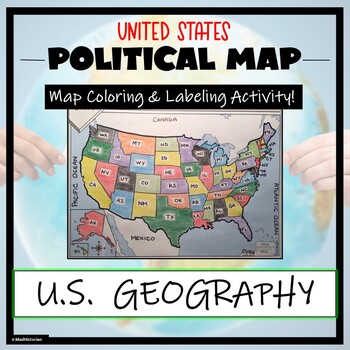
US Political Map Activity- Label and Color the 50 States!
This US Geography Map Activity is a MUST for students who are learning about the states! As a political map, they will label and color all 50 states of the United States of America, as well as surrounding areas. Directions and a key of the states are provided. A completed, colored map is provided for reference, but this map can be completed using a textbook or online resource as well. This is a creative and engaging way of supplementing lessons on geography, civics, or the history of the Unite
Grades:
3rd - 11th
Types:
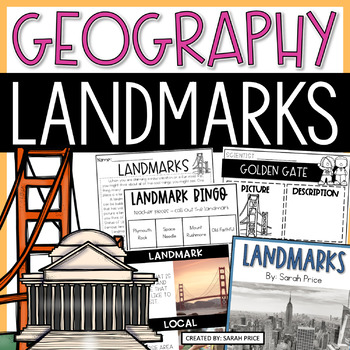
U.S. Landmarks Worksheets & Activities - 2nd & 3rd Grade Geography Lessons
United States landmarks will come to life in your classroom with these fun and engaging hands-on geography activities! Your students will love learning all about important U.S. landmarks and tourist attractions with these lessons. This resource includes lesson plans, foldables, worksheets, vocabulary, materials for early finishers, homework suggestions and MORE. This print-and-go resource is the perfect addition to your 2nd and 3rd-grade social studies curriculum!⭐ SAVE 30% WHEN YOU BUY THIS PRO
Subjects:
Grades:
2nd - 3rd
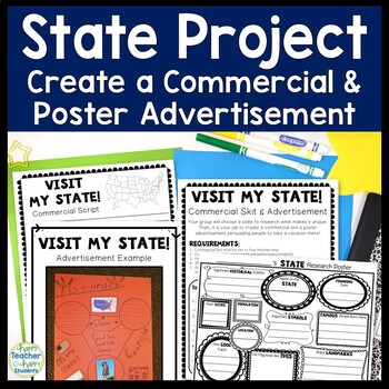
State Research Project | Create a Commercial & Poster for State | State Project
State Research Project: Students LOVE this State Project where they create a commercial and poster advertisement for their chosen state! Students research, brainstorm, write and perform a commercial promoting the state. What a fun way to incorporate geography, writing, research, group work and performance all at the same time!Each group will choose a state to research what makes it unique. Then, it is your job to create a commercial skit & poster advertisement persuading people to take a vac
Subjects:
Grades:
3rd - 7th
Types:
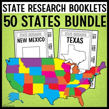
State Report Research Project Booklets BUNDLE | All 50 States | Guided Research
Guided state research projects for ALL 50 STATES! These fun state report projects help students learn all about the individual states of the United States of America. The guided research booklets take just 3 sheets of paper to easily create a 12-page tabbed booklet that leads students through the process of gathering information about the state. The booklets work with any information sources you have available, online or print!⭐️PLEASE NOTE: In order to keep the cost of the bundle down, I've inc
Grades:
2nd - 4th
Types:
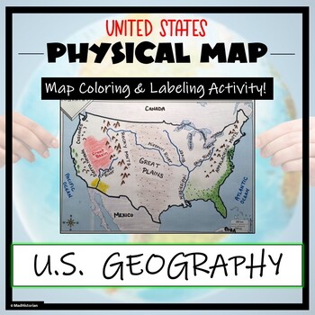
US Physical Map Activity- Label and Color US Physical Features!
This US Geography Map Activity is a MUST for students who are learning about the physical features of the United States! Students will identify, label, and color important geographic elements throughout the country. Directions for labeling and coloring is provided. A completed and colored map is provided for reference, but this map can be completed using a textbook or online resource as well. This is a creative and engaging way of supplementing lessons on geography, topography, and the history
Grades:
Not Grade Specific
Types:
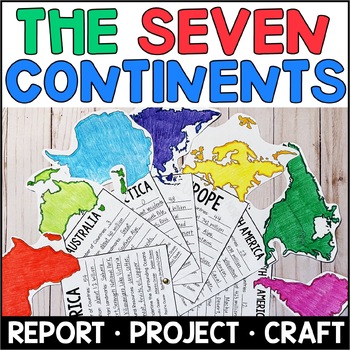
Continents Project and Craft - Research Report for the 7 Continents
Are your students learning about the seven continents? This no-prep social studies project is just what you need to help students research the 7 continents, take notes, and publish their report. Students will be engaged as they learn about the continents and create the interactive 7 Continents Fan. This project works well as an independent project or for group work. Students in groups of 7 can each study one continent and collaborate to create the finished product. This Continents project incl
Subjects:
Grades:
3rd - 5th
Types:
Places Research BUNDLE: Planets, Continents, USA Regions, State Reports, Canada
Are your students ready to start researching, writing reports, and creating finished projects? This Places Bundle includes the interactive projects that will help you in teaching geography and research to your students this year! With these social studies and science projects, students will learn about the planets, continents, regions of the United States, provinces and territories of Canada, AND write state reports on any of the 50 states. Each project includes a list of recommended books and
Subjects:
Grades:
3rd - 5th
Types:
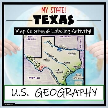
Texas Geography & Map Skills- Label and Coloring Activity!
This US Geography Map Activity is a MUST for students who are learning about the state of Texas! Students will label and color the map to identify cities, physical geography, and landmarks of their region. A completed and colored map is provided for reference, but this map can be completed using a textbook or online resource as well. This is a creative and engaging way of supplementing lessons on geography, civics, or the history of Texas. The activity concludes with “Fast Facts”, and five analy
Grades:
3rd - 11th
Types:
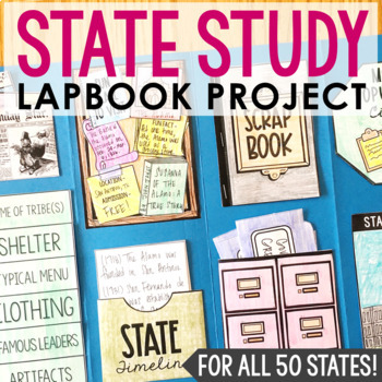
STATE RESEARCH PROJECT Lapbook | Social Studies Interactive Notebook Activity
In this creative state report resource, you'll find 12 differentiated activities for ANY STATE - these templates are perfectly sized for lapbooks and interactive notebooks. This social studies project is complete as is, or makes a great companion to your current curriculum. You'll love that this project is guided and can be used for independent work. Your students will love it because it's fun and a change of pace.CLICK HERE to save 30% on this resource in the American History Bundle!There are c
Grades:
4th - 7th
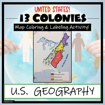
13 Colonies Map Activity- Label and Color the Map!
This 13 Colonies Map Activity is a great supplement to your lesson on the colonial period or American Revolution. Students will identify and label the colonies, and then color the three regions- Southern colonies, Middle colonies, and New England. They will also complete a map key. Directions for labeling and coloring are provided. A completed and colored map is provided for reference, but this map can be completed using a textbook or online resource as well. This is a creative and engaging w
Grades:
3rd - 10th
Types:
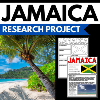
Jamaica Research Project - Country Study Research Templates - Reading Activity
This 30 Page Jamaica Research Project is perfect your upcoming Jamaica Unit, cultural fair, or country study. A two page Jamaica reading passage is included, along with student research templates. All information needed to complete the research can be found in the reading passage - no additional research necessary! Key information about Jamaica is included, including geography, the Jamaican flag, nature, people and culture, and other fun facts. It works well for a whole class activity, or can be
Grades:
3rd - 6th
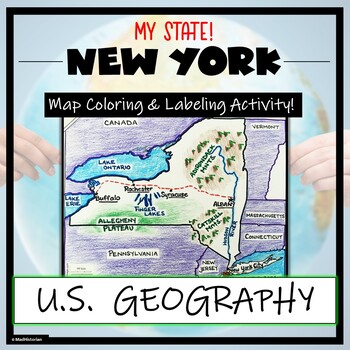
New York Map Skills and Geography- Label and Coloring Activity!
This US Geography Map Activity is a MUST for students who are learning about the state of New York! Students will label and color the map to identify cities, physical geography, and landmarks of their region. A completed and colored map is provided for reference, but this map can be completed using a textbook or online resource as well. This is a creative and engaging way of supplementing lessons on geography, civics, or the history of New York. The activity concludes with “Fast Facts”, and fiv
Grades:
3rd - 10th
Types:
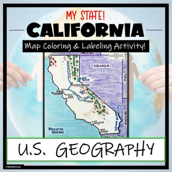
California Map Skills and Geography- Label and Color Activity!
This US Geography Map Activity is a MUST for students who are learning about the state of California! Students will label and color the map to identify cities, physical geography, and landmarks of their region. A completed and colored map is provided for reference, but this map can be completed using a textbook or online resource as well. This is a creative and engaging way of supplementing lessons on geography, civics, or the history of California. The activity concludes with “Fast Facts”, and
Grades:
3rd - 10th
Types:
TEKS 5th Grade Social Studies: Units 1 to 3 VALUE Bundle! (Google Apps!!)
The TEKS 5th Grade Social Studies Units 1 to 3 VALUE BUNDLE is PERFECT for those teaching 5th grade social studies to students in Texas, as ALL of these amazing resources have been specifically designed to meet the TEKS social studies standards and guidelines! The three incredible units included with this value bundle include an Introduction to U.S. Geography Unit, Think Like a Historian Unit (primary and secondary sources of information), and Colonial America Unit! The fantastic resources you'l
Grades:
5th
Types:
5th Grade TEKS Social Studies: Units 1 to 6 VALUE BUNDLE! | Google Apps!!
TEKS 5th Grade Social Studies Units 1 to 6 VALUE BUNDLE comes COMPLETELY READY for BOTH in-person and digital online classroom learning (via Google Apps!). These amazing lesson plans were designed specifically according to the TEKS Standards for 5th grade Social Studies (Units 1 to 6) and will help save you **HOURS** of your time! This 5th Grade TEKS Social Studies VALUE Bundle comes with:Unit Outline and Lesson-by-Lesson Overview for each Unit45+ Presentations featuring colorful and immersive s
Grades:
5th
Types:
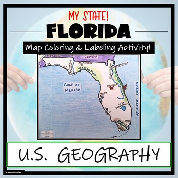
Florida Map Skills and Geography- Label and Color Activity!
This US Geography Map Activity is a MUST for students who are learning about the state of Florida! Students will label and color the map to identify cities, physical geography, and landmarks of their region. A completed and colored map is provided for reference, but this map can be completed using a textbook or online resource as well. This is a creative and engaging way of supplementing lessons on geography, civics, or the history of Florida. The activity concludes with “Fast Facts”, and five a
Grades:
3rd - 10th
Types:
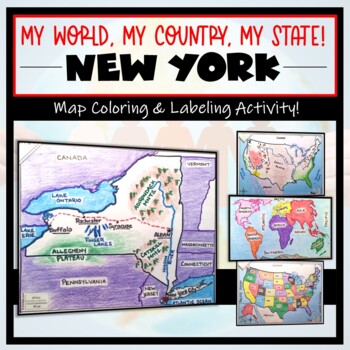
New York Map- 'My World, My Country, My State'! (Label and Color Activity)
This “My World, My Country, My State!” Map Activity is a MUST for students who are learning about their place in the world- literally! This labeling and coloring activity focuses on learning 1.) the Continents and Oceans, 2.) the United States, and 3.) the state of New York where students will identify cities, physical geography, and landmarks of the region. This is a creative and engaging way of supplementing lessons on geography, civics, or social studies. Each map concludes with “Fast Facts”,
Grades:
3rd - 10th
Types:
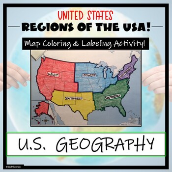
US Regions Map Activity- Label and Color the Five Regions!
This US Geography Map Activity is a MUST for students who are learning about the Five Regions of the United States! Students will identify, label, and color the five regions of the US- Northeast, Southeast, Mid-west, Southwest, and West. Directions for labeling and coloring is provided. A completed and colored map is provided for reference, but this map can be completed using a textbook or online resource as well. This is a creative and engaging way of supplementing lessons on geography, topogr
Grades:
3rd - 10th
Types:
Showing 1-24 of 396 results


