TPT
Total:
$0.00

Subjects

Arts & Music
English Language Arts
Foreign Language
Holidays/Seasonal
Math
Science
Social Studies - History
Specialty
For All Subject Areas
22 results

Social studies Common Core 6.G.A.3 resources
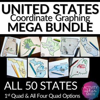
Preview of United States Coordinate Graphing Pictures BUNDLE All 50 States
United States Coordinate Graphing Pictures BUNDLE All 50 States

HUGE BUNDLE Need a way to use math while learning about the different states? Students will graph points on a coordinate plane and it creates an outline of the State. There is also a star on the state Capital and the state's abbreviation. The clever titles of the state’s nickname gives them a clue to what the picture will be. ★Want to know some tips to use these in ALL subjects? Click here to read my Blog Post !★I have included Student Instructions for both Quadrant One ONLY and instructions tha
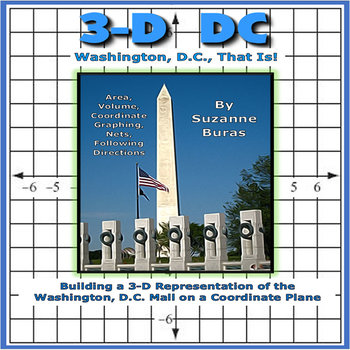
Preview of Building a 3-D Washington, D.C., City on a Coordinate Plane
Building a 3-D Washington, D.C., City on a Coordinate Plane

This project pulls together many aspects of geometry with some U.S. History and geography thrown in there! Students follow instructions for using "nets" with specific volumes to create 3-D buildings (White House, Capitol, different Memorials and Monuments, etc.) found along the Mall in Washington, D.C. to put on a coordinate grid map at specific points designated by coordinate pairs. They are also asked to draw things at specified locations, such as the Potomac River, Pennsylvania Avenue, etc.
Preview of Math With Art

Math With Art

Math With Art is NatureGlo's MathArt Animated PowerPoint BUNDLE with student study guides and Internet Activities! This product is a remarkable growing culmination of 17 years of private school and online homeschool teaching. My homeschool parents tell me that MathArt is the missing link in modern day maths education.What is MathArt?MathArt is a thematic unit study educational journey showing how math relates to the real world around us. It reveals the rich and beautiful connections there are be
Preview of CANADA Coordinate Graphing Picture BUNDLE
CANADA Coordinate Graphing Picture BUNDLE

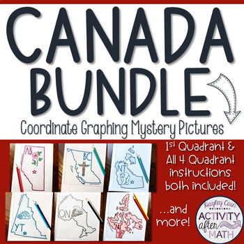
HUGE BUNDLE Need a way to use math while learning about the different territories and provinces in Canada? Students will graph points on a coordinate plane and it creates an outline of the Province or Territory. There is also a star on the Capital and the Province/Territory's abbreviation. The clever titles of the Province/Territory’s nickname or slogan gives them a clue to what the picture will be. **PLEASE NOTE: This is a growing Bundle which means all have not yet been completed. As additiona
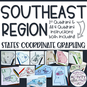
Preview of Southeast Region STATES Coordinate Graphing Pictures BUNDLE
Southeast Region STATES Coordinate Graphing Pictures BUNDLE

SOUTHEAST REGION HUGE BUNDLE Need a way to use math while learning about the different states in the Southeast Region? Students will graph points on a coordinate plane and it creates an outline of the State. There is also a star on the state Capital and the state's abbreviation. The clever titles of the state’s nickname gives them a clue to what the picture will be. CLICK HERE to SAVE with ALL 50 STATES BUNDLE★Want to know some tips to use these in ALL subjects? Click here to read my Blog Post !
Preview of United States Presidents Day Coordinate Graph Mystery Pictures! Ordered Pairs!
United States Presidents Day Coordinate Graph Mystery Pictures! Ordered Pairs!

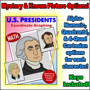
Alphanumeric, Quadrant I, and Full Cartesian Grid versions of each picture are included!Coordinate Plane Graphing can be fun, and the pictures students graph don’t have to be boring!Each character comes with blank coordinate planes and complete instructions to graph them.All of my coordinate graphs use whole numbers... No fractions or decimals to confuse the graphing!In this set, you will find 3 versions of the project for each President (Washington, Jefferson, & Lincoln):*For graphing begin
Preview of Midwest Region STATES Coordinate Graphing Pictures BUNDLE
Midwest Region STATES Coordinate Graphing Pictures BUNDLE

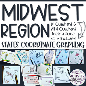
MIDWEST REGION HUGE BUNDLE Need a way to use math while learning about the different states in the Midwest Region? Students will graph points on a coordinate plane and it creates an outline of the State. There is also a star on the state Capital and the state's abbreviation. The clever titles of the state’s nickname gives them a clue to what the picture will be. CLICK HERE to SAVE with ALL 50 STATES BUNDLE★Want to know some tips to use these in ALL subjects? Click here to read my Blog Post !★I h
Preview of West Region STATES Coordinate Graphing Pictures BUNDLE

West Region STATES Coordinate Graphing Pictures BUNDLE
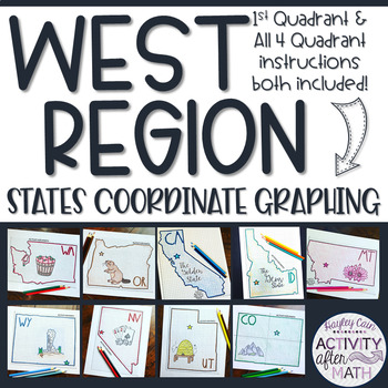
WEST REGION HUGE BUNDLE Need a way to use math while learning about the different states in the West Region? Students will graph points on a coordinate plane and it creates an outline of the State. There is also a star on the state Capital and the state's abbreviation. The clever titles of the state’s nickname gives them a clue to what the picture will be. CLICK HERE to SAVE with ALL 50 STATES BUNDLE★Want to know some tips to use these in ALL subjects? Click here to read my Blog Post !★I have in
Preview of Northeast Region STATES Coordinate Graphing Pictures BUNDLE

Northeast Region STATES Coordinate Graphing Pictures BUNDLE
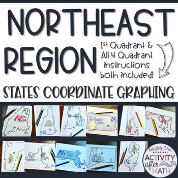
NORTHEAST REGION HUGE BUNDLE Need a way to use math while learning about the different states in the Northeast Region? Students will graph points on a coordinate plane and it creates an outline of the State. There is also a star on the state Capital and the state's abbreviation. The clever titles of the state’s nickname gives them a clue to what the picture will be. CLICK HERE to SAVE with ALL 50 STATES BUNDLE★Want to know some tips to use these in ALL subjects? Click here to read my Blog Post !
Preview of Southwest Region STATES Coordinate Graphing Pictures BUNDLE

Southwest Region STATES Coordinate Graphing Pictures BUNDLE
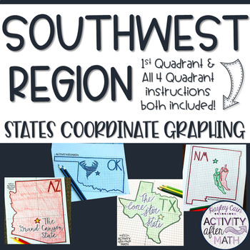
SOUTHWEST REGION HUGE BUNDLE Need a way to use math while learning about the different states in the Southwest Region? Students will graph points on a coordinate plane and it creates an outline of the State. There is also a star on the state Capital and the state's abbreviation. The clever titles of the state’s nickname gives them a clue to what the picture will be. CLICK HERE to SAVE with ALL 50 STATES BUNDLE★Want to know some tips to use these in ALL subjects? Click here to read my Blog Post !
Preview of Manitoba Province Coordinate Graphing Picture 1st Quadrant & ALL 4 Quadrants
Manitoba Province Coordinate Graphing Picture 1st Quadrant & ALL 4 Quadrants

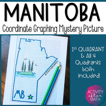
Need a way to use math while learning about Manitoba Province Canada? Students will graph points on a coordinate plane and it creates an outline of Manitoba. There is also a star on the Capital(Winnipeg) and the abbreviation(MB). The clever title of "Glorious and free" gives them a clue to what the picture will be. I have included Student Instructions for both Quadrant One ONLY and instructions that include ALL four Quadrants! This is a great way to differentiate for your lower-level learners as
Preview of Canada Coordinate Graphing Picture First Quadrant & ALL Four Quadrants FREE
Canada Coordinate Graphing Picture First Quadrant & ALL Four Quadrants FREE
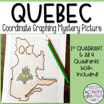
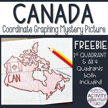
Need a way to use math while learning about Canada? Students will graph points on a coordinate plane and it creates an outline of Canada. There is also a star on the Capital(Ottawa) and the abbreviation(CAN). The clever title of "From Sea to Sea!" gives them a clue to what the picture will be. I have included Student Instructions for both Quadrant One ONLY and instructions that include ALL four Quadrants! This is a great way to differentiate for your lower-level learners as well as your higher-l
Preview of Yukon Territory Coordinate Graphing Picture First Quadrant & ALL Four Quadrants

Yukon Territory Coordinate Graphing Picture First Quadrant & ALL Four Quadrants

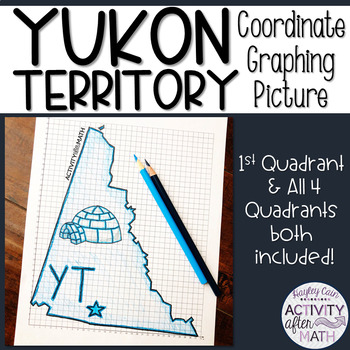
Need a way to use math while learning about Yukon Territory Canada? Students will graph points on a coordinate plane and it creates an outline of the Yukon Territory. There is also a star on the Capital(Whitehorse) and the abbreviation(YT). The clever title of "Land of the Midnight Sun" gives them a clue to what the picture will be. I have included Student Instructions for both Quadrant One ONLY and instructions that include ALL four Quadrants! This is a great way to differentiate for your lower
Preview of Quebec Province Coordinate Graphing Picture 1st Quadrant & ALL 4 Quadrants
Quebec Province Coordinate Graphing Picture 1st Quadrant & ALL 4 Quadrants

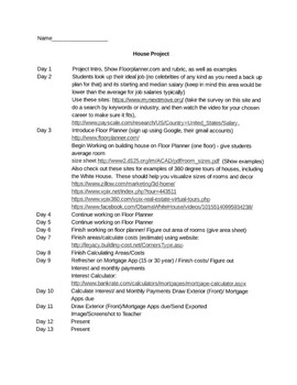
Need a way to use math while learning about Quebec Province Canada? Students will graph points on a coordinate plane and it creates an outline of Quebec. There is also a star on the Capital(Quebec City) and the abbreviation(QC). The clever title of "I Remember" gives them a clue to what the picture will be. I have included Student Instructions for both Quadrant One ONLY and instructions that include ALL four Quadrants! This is a great way to differentiate for your lower-level learners as well as
Preview of House Building Assignment Complete with all Resources
House Building Assignment Complete with all Resources

Created by
Fun Math Sheets
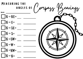
This project is great for assessing middle school/junior high geometry skills such as area, perimeter, scaling concepts, 3D shape drawing, and is very real world including the money math ratio standards such as budgeting, loans, and interest. Angles could be added as a topic easily as well if desired. Within this project, students research a dream job for salary, college needed, availability, and what the day-to-day job entails using online resources provided. Then students will build a hous
Preview of Compass Bearings and Angles

Compass Bearings and Angles

Created by
Iowan Abroad
This activity is great when learning about angles and compass bearings. First, students will label the compass with the 8 bearings. Have students color each box a different color which will coordinate with the colors of the middle circle on the compass. We did rainbow colors to make it easier. Then they need to measure from North to whichever bearing they are trying to find. They will then write the measurement in degrees on the small line and the type of angle on the bigger line. After this is
Preview of Nunavut Territory Coordinate Graphing Picture 1st Quadrant & ALL 4 Quadrants
Nunavut Territory Coordinate Graphing Picture 1st Quadrant & ALL 4 Quadrants

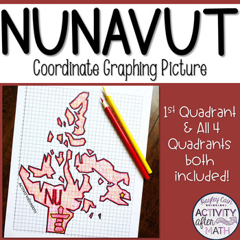
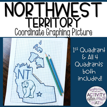
Need a way to use math while learning about Nunavut Territory Canada? Students will graph points on a coordinate plane and it creates an outline of the Nunavut Territory. There is also a star on the Capital(Iqaluit) and the abbreviation(NU). The clever title of "Our Land, Our Strength" gives them a clue to what the picture will be. I have included Student Instructions for both Quadrant One ONLY and instructions that include ALL four Quadrants! This is a great way to differentiate for your lower-
Preview of Northwest Territory Coordinate Graphing Picture 1st Quadrant & ALL 4 Quadrants

Northwest Territory Coordinate Graphing Picture 1st Quadrant & ALL 4 Quadrants
Need a way to use math while learning about Northwest Territory Canada? Students will graph points on a coordinate plane and it creates an outline of the Northwest Territory. There is also a star on the Capital(Yellowknife) and the abbreviation(NT). The clever title of "Land of the Polar Bear" gives them a clue to what the picture will be. I have included Student Instructions for both Quadrant One ONLY and instructions that include ALL four Quadrants! This is a great way to differentiate for you
Preview of British Columbia Coordinate Graphing Picture First Quadrant & ALL Four Quadrants
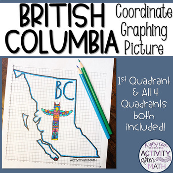
British Columbia Coordinate Graphing Picture First Quadrant & ALL Four Quadrants

Need a way to use math while learning about British Columbia Canada? Students will graph points on a coordinate plane and it creates an outline of British Columbia. There is also a star on the Capital(Victoria) and the abbreviation(BC). The clever title of "Beautiful B.C." gives them a clue to what the picture will be. I have included Student Instructions for both Quadrant One ONLY and instructions that include ALL four Quadrants! This is a great way to differentiate for your lower-level learner
Preview of Alberta Coordinate Graphing Picture First Quadrant & ALL Four Quadrants

Alberta Coordinate Graphing Picture First Quadrant & ALL Four Quadrants
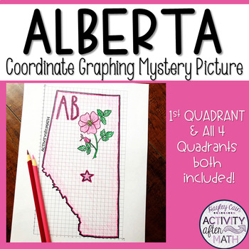
Need a way to use math while learning about Alberta Canada? Students will graph points on a coordinate plane and it creates an outline of Alberta. There is also a star on the Capital(Edmonton) and the abbreviation(AB). The clever title of "Wild Rose Country" gives them a clue to what the picture will be. I have included Student Instructions for both Quadrant One ONLY and instructions that include ALL four Quadrants! This is a great way to differentiate for your lower-level learners as well as yo
Preview of Explore National Parks with Traveling Miss T.
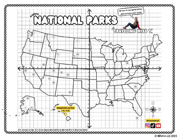
Explore National Parks with Traveling Miss T.

Created by
Traveling Miss T
Hi teacher friends! My name is Natalie Teboul and I am the creator of Traveling Miss T.'s Math Maps ©. I work with local, state, and federal agencies to bring our public lands to students in classrooms for free with my innovative Math Maps. For hundreds of different Math Maps, check out my website at www.travelingmisst.com.I'm on TPT to ask all teachers to rally behind me and help me create systemic change! Please download this free map of our National Parks, have your students practice their co
Preview of Ontario Coordinate Graphing Picture First Quadrant & ALL Four Quadrants

Ontario Coordinate Graphing Picture First Quadrant & ALL Four Quadrants

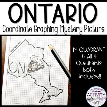
Need a way to use math while learning about Ontario Canada? Students will graph points on a coordinate plane and it creates an outline of Ontario. There is also a star on the Capital(Toronto) and the abbreviation(ON). The clever title of "Yours to Discover" gives them a clue to what the picture will be. I have included Student Instructions for both Quadrant One ONLY and instructions that include ALL four Quadrants! This is a great way to differentiate for your lower-level learners as well as you
Showing 1-22 of 22 results

Find Social Studies - History resources | TPT

Importance of learning social studies

Social studies offers valuable insights into history, geography, and much more. Social studies captivates students by providing them with perspectives from the past, present, and future, allowing them to understand history and navigate current events. It enables them to appreciate how previous generations have shaped their present reality. In essence, social studies opens their eyes to the vastness of life beyond their immediate surroundings.

Benefits of learning social studies

Learning social studies offers many benefits to students in terms of helping them develop a holistic understanding of the world. Namely, it helps them:

  • Learn about the achievements, challenges, perspectives, traditions, and customs of different societies
  • Evaluate information, analyze evidence, and make informed judgments about complex social, economic, and political issues
  • Become active, responsible, and engaged citizens
  • Comprehend global issues such as human rights, environmental sustainability, and economic disparities

By teaching social studies, teachers can help students develop critical thinking skills, foster civic engagement, and promote social awareness and responsibility.

Teaching with social studies resources

On TPT, social studies resources come in various formats, from worksheets to interactive notebooks to units. They can be used to enhance learning, assess a student’s mastery of social studies concepts, or to reteach a tricky topic. With plenty of TPT resources at your fingertips, teaching and learning social studies will be so much easier.

Discover printable and digital social studies resources

If you’re a teacher or parent looking for printable or digital social studies resources, TPT has an extensive array of instructional materials for every learning need, topic, or grade level. Whether you’re teaching students about America’s democratic process, the legacy of Dr. Martin Luther King, Jr., how to read maps, or World War II, we’ve got you covered.

Social studies resources on TPT offer informative lessons, engaging texts, intriguing facts, interactive puzzles, and enjoyable trivia games. These grade-specific resources ensure that all students can access age-appropriate materials that stimulate their minds and enhance their creative thinking abilities.

For instance, first graders can explore worksheets on senses and emotions, followed by a coloring page featuring Harriet Tubman. Older students can test their knowledge with quizzes on statistics and capital cities, then delve into the history of the Underground Railroad through an informational sheet or enjoy a word search focused on civil rights leaders. With such a wide variety of subjects and topics covered, our social studies pages provide endless opportunities for students to explore the world in captivating ways.

Frequently asked questions about teaching social studies

What types of social studies lessons are available on TPT?

There are many different types of history resources sold by Sellers on TPT. Some popular social studies lessons include U.S. history, world history, ancient history, geography, civics, and government.

How do I find social studies lessons on TPT?

Educators can save time preparing history lessons with resources created by experienced teachers. Simply start a search for social studies resources on the TPT marketplace, and filter by grade level, price, and/or resource type to find materials that've been proven to work in classrooms like yours. No matter what you’re teaching, there are plenty of social studies lessons and activities sold by Sellers on TPT that are tailored to meet your students' skill levels.