9 results
U.S. History Common Core 6.G.A.3 resources
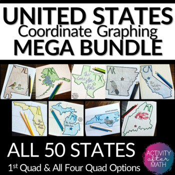
United States Coordinate Graphing Pictures BUNDLE All 50 States
HUGE BUNDLE Need a way to use math while learning about the different states? Students will graph points on a coordinate plane and it creates an outline of the State. There is also a star on the state Capital and the state's abbreviation. The clever titles of the state’s nickname gives them a clue to what the picture will be. ★Want to know some tips to use these in ALL subjects? Click here to read my Blog Post !★I have included Student Instructions for both Quadrant One ONLY and instructions tha
Subjects:
Grades:
5th - 9th
Types:
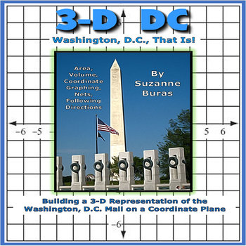
Building a 3-D Washington, D.C., City on a Coordinate Plane
This project pulls together many aspects of geometry with some U.S. History and geography thrown in there! Students follow instructions for using "nets" with specific volumes to create 3-D buildings (White House, Capitol, different Memorials and Monuments, etc.) found along the Mall in Washington, D.C. to put on a coordinate grid map at specific points designated by coordinate pairs. They are also asked to draw things at specified locations, such as the Potomac River, Pennsylvania Avenue, etc.
Subjects:
Grades:
5th - 7th
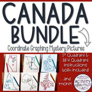
CANADA Coordinate Graphing Picture BUNDLE
HUGE BUNDLE Need a way to use math while learning about the different territories and provinces in Canada? Students will graph points on a coordinate plane and it creates an outline of the Province or Territory. There is also a star on the Capital and the Province/Territory's abbreviation. The clever titles of the Province/Territory’s nickname or slogan gives them a clue to what the picture will be. **PLEASE NOTE: This is a growing Bundle which means all have not yet been completed. As additiona
Subjects:
Grades:
5th - 9th
Types:
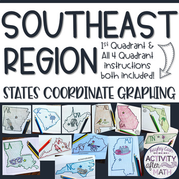
Southeast Region STATES Coordinate Graphing Pictures BUNDLE
SOUTHEAST REGION HUGE BUNDLE Need a way to use math while learning about the different states in the Southeast Region? Students will graph points on a coordinate plane and it creates an outline of the State. There is also a star on the state Capital and the state's abbreviation. The clever titles of the state’s nickname gives them a clue to what the picture will be. CLICK HERE to SAVE with ALL 50 STATES BUNDLE★Want to know some tips to use these in ALL subjects? Click here to read my Blog Post !
Subjects:
Grades:
5th - 9th
Types:
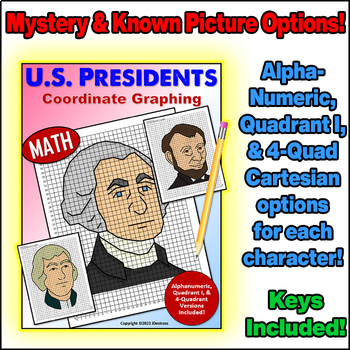
United States Presidents Day Coordinate Graph Mystery Pictures! Ordered Pairs!
Alphanumeric, Quadrant I, and Full Cartesian Grid versions of each picture are included!Coordinate Plane Graphing can be fun, and the pictures students graph don’t have to be boring!Each character comes with blank coordinate planes and complete instructions to graph them.All of my coordinate graphs use whole numbers... No fractions or decimals to confuse the graphing!In this set, you will find 3 versions of the project for each President (Washington, Jefferson, & Lincoln):*For graphing begin
Subjects:
Grades:
3rd - 8th
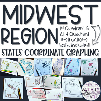
Midwest Region STATES Coordinate Graphing Pictures BUNDLE
MIDWEST REGION HUGE BUNDLE Need a way to use math while learning about the different states in the Midwest Region? Students will graph points on a coordinate plane and it creates an outline of the State. There is also a star on the state Capital and the state's abbreviation. The clever titles of the state’s nickname gives them a clue to what the picture will be. CLICK HERE to SAVE with ALL 50 STATES BUNDLE★Want to know some tips to use these in ALL subjects? Click here to read my Blog Post !★I h
Subjects:
Grades:
5th - 9th
Types:
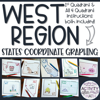
West Region STATES Coordinate Graphing Pictures BUNDLE
WEST REGION HUGE BUNDLE Need a way to use math while learning about the different states in the West Region? Students will graph points on a coordinate plane and it creates an outline of the State. There is also a star on the state Capital and the state's abbreviation. The clever titles of the state’s nickname gives them a clue to what the picture will be. CLICK HERE to SAVE with ALL 50 STATES BUNDLE★Want to know some tips to use these in ALL subjects? Click here to read my Blog Post !★I have in
Subjects:
Grades:
5th - 9th
Types:
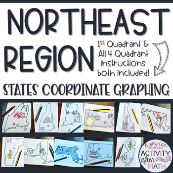
Northeast Region STATES Coordinate Graphing Pictures BUNDLE
NORTHEAST REGION HUGE BUNDLE Need a way to use math while learning about the different states in the Northeast Region? Students will graph points on a coordinate plane and it creates an outline of the State. There is also a star on the state Capital and the state's abbreviation. The clever titles of the state’s nickname gives them a clue to what the picture will be. CLICK HERE to SAVE with ALL 50 STATES BUNDLE★Want to know some tips to use these in ALL subjects? Click here to read my Blog Post !
Subjects:
Grades:
5th - 9th
Types:
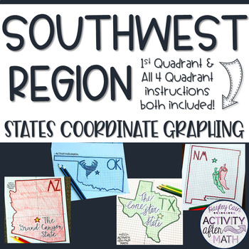
Southwest Region STATES Coordinate Graphing Pictures BUNDLE
SOUTHWEST REGION HUGE BUNDLE Need a way to use math while learning about the different states in the Southwest Region? Students will graph points on a coordinate plane and it creates an outline of the State. There is also a star on the state Capital and the state's abbreviation. The clever titles of the state’s nickname gives them a clue to what the picture will be. CLICK HERE to SAVE with ALL 50 STATES BUNDLE★Want to know some tips to use these in ALL subjects? Click here to read my Blog Post !
Subjects:
Grades:
5th - 9th
Types:
Showing 1-9 of 9 results

