TPT
Total:
$0.00
Selected
Grades
Prices

Subjects

Arts & Music
English Language Arts
Foreign Language
Holidays/Seasonal
Math
Science
Social Studies - History
Specialty
For All Subject Areas
1,284 results

4th grade social studies resources for Montessori under $5
Preview of 13 Original Colonies of the United States Maps, 3-Part Cards & Information
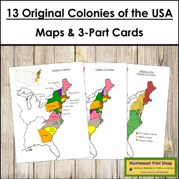
13 Original Colonies of the United States Maps, 3-Part Cards & Information

13 Original Colonies of the United States Maps & Information -Includes the following maps of the 13 original colonies of the USA as the states are divided today. The color maps are colored using the traditional Montessori map colors.Includes:1 black and white blank map1 black and white labeled map1 colored blank map1 colored and labeled map3 regions of the 13 colonies (includes maps for each of the 3 regions)It also includes the following maps of the 13 original colonies of the USA as the st
Preview of Underground Railroad Quilt Code Puzzles Digital Interactive Activities
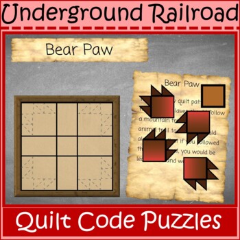
Underground Railroad Quilt Code Puzzles Digital Interactive Activities

Learn the hidden meaning of Underground Railroad Quilt Patterns in this interactive journal. Students move puzzle pieces to solve the puzzle and read a description of each pattern. Then, they are able to create their own puzzle pieces and write a short story.In the download you will receive:PDF Teacher Guide The original PowerPoint of the Notebook to make your own edits and to insert into other classroom learning applications such as Google Slides, Blackboard, PearDeck, and more.Students will le
Preview of Fundamental Needs of Humans - Montessori Social Studies
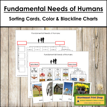
Fundamental Needs of Humans - Montessori Social Studies

Fundamental Needs of Humans - The Fundamental Needs of Humans Chart provides a cross-cultural framework for organizing information relating to how people meet their material and spiritual needs. Recreate the chart using the picture cards included in this set.This set includes:1 master control chart3 blackline masters25 picture cards (3-part card format)category labelsPicture cards are approximately 3½" x 3¼:".
Preview of Maps of Asia (Color & Blackline Masters) - Montessori color-code
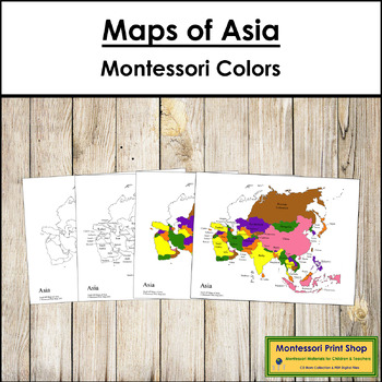
Maps of Asia (Color & Blackline Masters) - Montessori color-code

Maps of Asia (Color & Blackline Masters) - This material includes the following maps of Asia:1 black & white blank map1 black & white labeled map1 colored blank map1 colored and labeled map2 sets of map labels for the large wooden puzzle mapMaps print on 8½ x 11" paper and follow the traditional Montessori map colors.The pin flags that accompany these maps can be found here.The color-coded pin flags that accompany these maps can be found here.You may be interested in the following:As
Preview of Maps of North America (Color & Blackline Masters) - Montessori color-code

Maps of North America (Color & Blackline Masters) - Montessori color-code
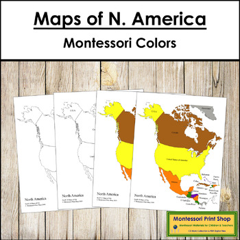
Maps of North America (Color & Blackline Masters) - Includes:1 black & white blank map1 black & white labeled map1 colored blank map1 colored and labeled map2 sets of map labels for the large wooden puzzle mapMaps print on 8½ x 11" paper and follow the traditional Montessori map colors.The pin flags that accompany these maps can be found here.The color-coded pin flags that accompany these maps can be found here.You may be interested in the following:North American Capital Cities MapN
Preview of Maps of Africa (Color & Blackline Masters) - Montessori color-code

Maps of Africa (Color & Blackline Masters) - Montessori color-code
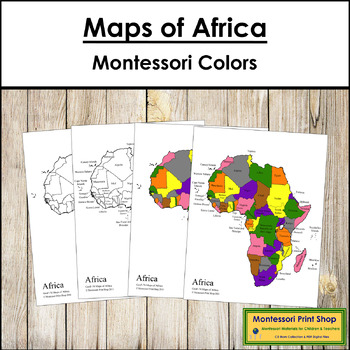
Maps of Africa (Color & Blackline Masters) - Includes the following maps of Africa:1 black & white blank map1 black & white labeled map1 colored blank map1 colored and labeled map2 sets of map labels for the large wooden puzzle mapMaps print on 8½ x 11" paper and follow the traditional Montessori map colors.The pin flags that accompany these maps can be found here.The color-coded pin flags that accompany these maps can be found here.You may be interested in the following:African Capi
Preview of Maps of the United States of America - Montessori color-code
Maps of the United States of America - Montessori color-code

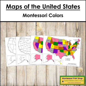
Maps of the United States of America - Includes the following maps of the United States:1 black & white blank map1 black & white labeled map1 colored blank map1 colored and labeled mapset of map labels for the large wooden puzzle mapMaps print on 8½ x 11″ paper and follow the traditional Montessori map colors.The pin flags that accompany these maps can be found here.The color-coded pin flags that accompany these maps can be found here.You may be interested in USA Capital Cities Control M
Preview of Land and Water Forms Montessori Cards
Land and Water Forms Montessori Cards

Created by
Extra Sprinkle
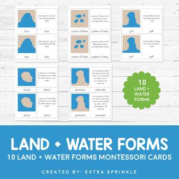
Check out my other MONTESSORI CARDSDear Educator,Thank you for purchasing the Land and Water Forms Montessori Cards. This set of nomenclature cards is an engaging way to teach your children about the various land and water forms.Included in this packet you will find 10 land and water forms represented:- bay- cape- gulf- peninsula- strait- isthmus- systems of lakes- archipelago- lake- islandFor each type or land and water form, there are TWO types of Montessori nomenclature cards. One card featur
Preview of History of Writing 3-Part Cards

History of Writing 3-Part Cards
Created by
Open Door Press
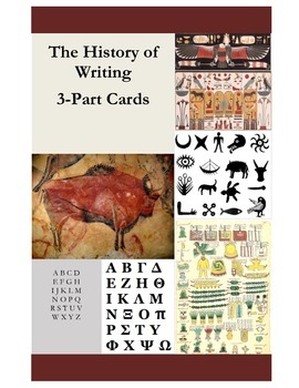
This 3-part card set (picture, label, paragraph) supports The Story (or History) of Writing. Included are: 12 pictures illustrating the development of writing from cave art to the 15th century; 12 corresponding labels; 12 corresponding "stories" or explanatory paragraphs, written for the elementary child. An excellent extension to this card set is to place the pictures and stories along a time line. See my Printable Time Line, consisting of date cards that can be used for this lesson or any ot
Preview of Money Bundle - Montessori 3-Part Cards for Coins and Bills
Money Bundle - Montessori 3-Part Cards for Coins and Bills

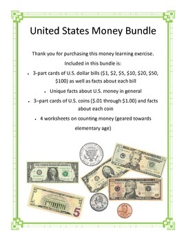
Teach your students how to recognize U.S. currency and well as interesting facts about each bill and coin in circulation in the U.S. Bundle includes: * 3-part cards of U.S. dollar bills ($1, $2, $5, $10, $20, $50, $100) as well as facts about each bill * Unique facts about U.S. money in general * 3–part cards of U.S. coins ($.01 through $1.00) and facts about each coin * 4 worksheets on counting money (geared towards elementary age)
Preview of Maps of Europe (Color & Blackline Masters) - Montessori color-code
Maps of Europe (Color & Blackline Masters) - Montessori color-code

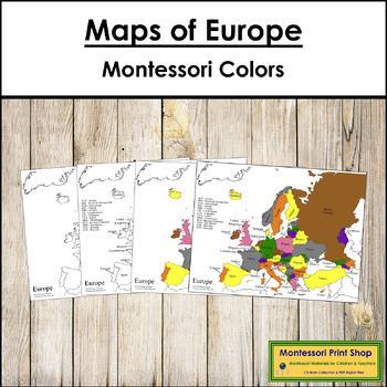
Maps of Europe (Color & Blackline Masters) - Includes the following maps of Europe:1 black & white blank map1 black & white labeled map1 colored blank map1 colored and labeled map2 sets of map labels for the large wooden puzzle mapMaps print on 8½ x 11″ paper and follow the traditional Montessori map colors.The pin flags that accompany these maps can be found here.The color-coded pin flags that accompany these maps can be found here.You may be interested in the following:European Cap
Preview of Presidents of the United States of America - US History
Presidents of the United States of America - US History

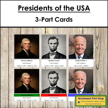
Presidents of the United States of America - Includes all 46 US Presidents with names, photos, and terms of office. 1 set of 46 Presidents (without party color-coding)1 set of 46 Presidents with party color-coding1 title cardkey to party colorsparty title cardsCards with labels are approx. 3½ x 3¼", cards without labels are approx. 1" shorter. To make 3-part cards print twice.You may be interested in the following:Great Women Of The United StatesCanadian Prime Ministers
Preview of Maps of South America (Color & Blackline Masters) - Montessori color-code
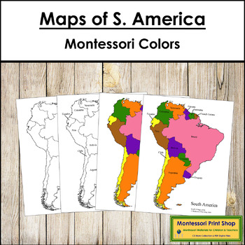
Maps of South America (Color & Blackline Masters) - Montessori color-code

Maps of South America (Color & Blackline Masters) - Includes the following maps of South America:1 black & white blank map1 black & white labeled map1 colored blank map1 colored and labeled map2 sets of map labels for the large wooden puzzle mapThe pin flags that accompany these maps can be found here.The color-coded pin flags that accompany these maps can be found here.Maps print on 8½ x 11" paper and follow the traditional Montessori map colors.You may be interested in the followin
Preview of Biomes of the World Animal Sorting Cards and Graphing Activities
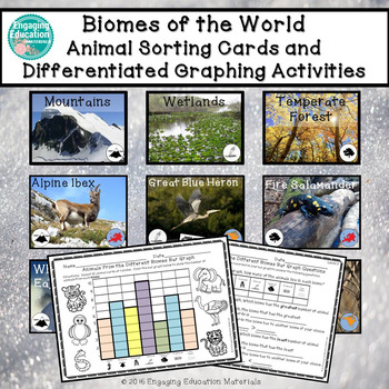
Biomes of the World Animal Sorting Cards and Graphing Activities

These engaging, hands-on activities incorporate a cross-curricular approach to learning. Students sort 56 animal cards under the following biomes of the world heading cards: Desert, Mountains, Rainforest, Wetlands, Temperate Forest, Grasslands, and Polar Regions. There is a total of 8 animal cards for each biome category. Students use the picture clues, as well as the biome and continent icons presented on each animal card, to determine which biome the animals belong to. The continent icon
Preview of Geography - Land and Water Book - NO PREP
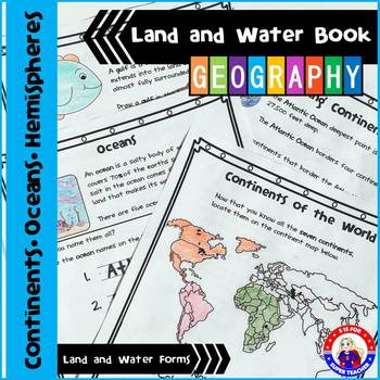
Geography - Land and Water Book - NO PREP

I LOVE this packet, you can either use the activity pages individually or as a book for your geography unit (cover included). In my class, we use this packet to learn more about geography and to practice research skills. The students use an atlas,' the globe, and the internet to help them discover the answers! On each page, there is a definition and an activity to support it! You can watch a short video at this Link: https://www.youtube.com/watch?v=iBt_mHMaBUs Included: 1. Continents of the
Preview of American Symbols Cards

American Symbols Cards

Created by
Rainbow Girl
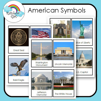
There are 12 American Symbol cards in this set. 1. Print and use as flash cards. 2. Print out cards and cut the word from the picture and use for matching word to picture. 3. Print two sets and use for matching picture to picture and word to word. Great for learning vocabulary, help students recognize and identify images/objects.
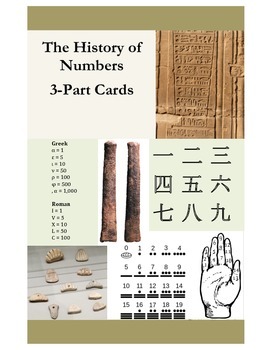
Preview of History of Numbers 3-Part Cards

History of Numbers 3-Part Cards
Created by
Open Door Press
This 3-part card set (picture, label, paragraph) supports The Story (or History) of Numbers. Included are: 12 pictures illustrating the development of numbers from prehistory to the 15th century; 12 corresponding labels; 12 corresponding "stories" or explanatory paragraphs, written for the elementary child. An excellent extension to this card set is to place the pictures and stories along a time line. See my Printable Time Line, consisting of date cards that can be used for this lesson or any
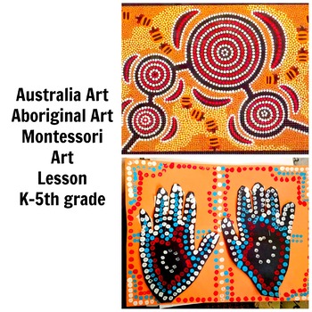
Preview of Australia Aboriginal Art Lesson Montessori Grade K-5 Painting Lesson Common Core
Australia Aboriginal Art Lesson Montessori Grade K-5 Painting Lesson Common Core

If you're looking for an engaging and culturally rich art history lesson and project for your students, consider an Australian Aboriginal Art Lesson. This lesson will introduce your students to the rich cultural heritage of Aboriginal art and help them develop an appreciation for the unique techniques and styles used in this art form.Here are some reasons why you should consider using an Australian Aboriginal Art Lesson in your classroom:Explore a unique art form: Aboriginal art is a unique art
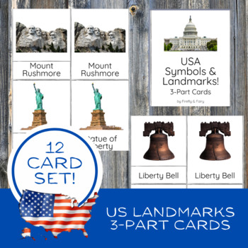
Preview of US Landmarks & Symbols Montessori 3-Part Cards Nomenclature Social Studies Toob
US Landmarks & Symbols Montessori 3-Part Cards Nomenclature Social Studies Toob

Introduce your elementary and middle school students to the symbols and landmarks of the United States! These 3-part vocabulary cards are perfect for unit studies! And, they are created to match Safari Ltd. US Super Toob for hands-on learning! These social studies-themed Montessori-style three-part nomenclature cards are perfect for introducing 12 landmarks and symbols of the United States of America for visual and tactile learners. Each card features vibrant color graphics making it engaging an
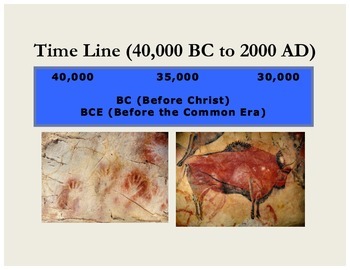
Preview of Printable Time Line (40,000 BC to 2000 AD)
Printable Time Line (40,000 BC to 2000 AD)

Created by
Open Door Press
This printable timeline (dates 40,000 BC to 2000 AD) can be used for any purpose–sequencing pictures and information about the great civilizations, historical events or personages, world art, or any other development. I used it to show the history of writing from proto-writing (cave art) all the way up to personal computers. The children can lay the date cards out end-to-end. All cards together stretch a little over 30.’ Or you can lay them out in consecutive rows. After laying the cards out end
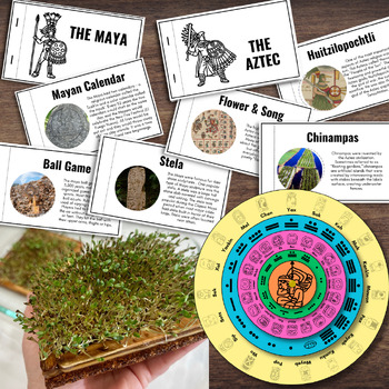
Preview of MAYA & AZTEC Civilizations Flipbook, Calendar, Chinampas Activity | Mesoamerica
MAYA & AZTEC Civilizations Flipbook, Calendar, Chinampas Activity | Mesoamerica

Created by
Savy Activities
Learn all about the two major ancient civilizations of Mesoamerica through info flip-books and hands on crafts. Students will learn major highlights of each civilization and how they have left their mark on the culture of Mexico and North America today. Make a working Maya calendar and floating gardens called chinampas, first invented by the Aztecs.Includes eight (8) pages of resources. *Resources also included in the MEXICO Activity Book.
Preview of Canadian Confederation of 1867 Maps

Canadian Confederation of 1867 Maps

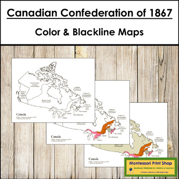
Canadian Confederation of 1867 Maps - Includes the following maps from the Canadian Confederation of 1867. The maps are colored using the traditional Montessori map colors.Using the 1867 boundaries:1 blank1 blank with labels (4 provinces)1 blank with all labels1 color1 color with labels (4 provinces)1 color with all labels1 color of the full map with all labelsMaps using the current map boundaries:1 blank1 blank with labels (4 provinces)1 color1 color with labels (4 provinces)Each map prints on
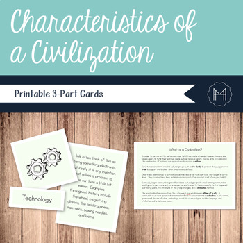
Preview of Characteristics of a Civilization 3-Part Cards
Characteristics of a Civilization 3-Part Cards

Nomenclature cards, or 3-part cards are a wonderful way for children to interact with new information. This material, focusing on the Characteristics of a Civilization, consists of labels, definition cards, and pictures. When completing this work, the child should begin by sorting all the cards and placing the pictures across the top of their rug or table. They then read the labels and definition and match them to the pictures. When finished matching, the child should check their work using the
Preview of Flags of Africa Blackline Masters

Flags of Africa Blackline Masters

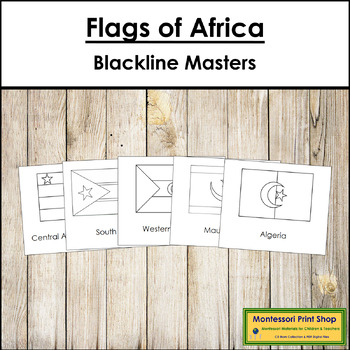
Flags of Africa Blackline Masters - The flags of Africa, according to the continental regions and sub-regions as defined by the United Nations and 4 dependent territories or areas of special sovereignty.Includes:flag outlines with labelsflag outlines without labelsPrints 4 flags per page. Each flag card is approx. 3¾" x 5".You may be interested in the following:Flags of Africa 3-Part CardsFlags of Africa 3-Part Cards (color borders)Flags of Asia - Blackline MastersFlags of Oceania - Blackline Ma
Showing 1-24 of 1,284 results

Find Social Studies - History resources | TPT

Importance of learning social studies

Social studies offers valuable insights into history, geography, and much more. Social studies captivates students by providing them with perspectives from the past, present, and future, allowing them to understand history and navigate current events. It enables them to appreciate how previous generations have shaped their present reality. In essence, social studies opens their eyes to the vastness of life beyond their immediate surroundings.

Benefits of learning social studies

Learning social studies offers many benefits to students in terms of helping them develop a holistic understanding of the world. Namely, it helps them:

  • Learn about the achievements, challenges, perspectives, traditions, and customs of different societies
  • Evaluate information, analyze evidence, and make informed judgments about complex social, economic, and political issues
  • Become active, responsible, and engaged citizens
  • Comprehend global issues such as human rights, environmental sustainability, and economic disparities

By teaching social studies, teachers can help students develop critical thinking skills, foster civic engagement, and promote social awareness and responsibility.

Teaching with social studies resources

On TPT, social studies resources come in various formats, from worksheets to interactive notebooks to units. They can be used to enhance learning, assess a student’s mastery of social studies concepts, or to reteach a tricky topic. With plenty of TPT resources at your fingertips, teaching and learning social studies will be so much easier.

Discover printable and digital social studies resources

If you’re a teacher or parent looking for printable or digital social studies resources, TPT has an extensive array of instructional materials for every learning need, topic, or grade level. Whether you’re teaching students about America’s democratic process, the legacy of Dr. Martin Luther King, Jr., how to read maps, or World War II, we’ve got you covered.

Social studies resources on TPT offer informative lessons, engaging texts, intriguing facts, interactive puzzles, and enjoyable trivia games. These grade-specific resources ensure that all students can access age-appropriate materials that stimulate their minds and enhance their creative thinking abilities.

For instance, first graders can explore worksheets on senses and emotions, followed by a coloring page featuring Harriet Tubman. Older students can test their knowledge with quizzes on statistics and capital cities, then delve into the history of the Underground Railroad through an informational sheet or enjoy a word search focused on civil rights leaders. With such a wide variety of subjects and topics covered, our social studies pages provide endless opportunities for students to explore the world in captivating ways.

Frequently asked questions about teaching social studies

What types of social studies lessons are available on TPT?

There are many different types of history resources sold by Sellers on TPT. Some popular social studies lessons include U.S. history, world history, ancient history, geography, civics, and government.

How do I find social studies lessons on TPT?

Educators can save time preparing history lessons with resources created by experienced teachers. Simply start a search for social studies resources on the TPT marketplace, and filter by grade level, price, and/or resource type to find materials that've been proven to work in classrooms like yours. No matter what you’re teaching, there are plenty of social studies lessons and activities sold by Sellers on TPT that are tailored to meet your students' skill levels.