1,162 results
4th grade geography resources for Montessori
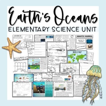
Ocean Unit
Ocean UnitThis comprehensive Ocean Unit includes several weeks worth of interdisciplinary lesson plans, reading passages, projects, research tasks, science experiments, hands-on activities, and worksheets for learning all about earth's oceans and the importance of water!Contents include:Ocean Map PostersMap Labeling ActivitiesOcean Zones Informational Posters - 2 versionsOcean Life PosterOcean Zones Labeling ActivitiesHands-On Ocean Zones Science CenterWater Cycle Informational PosterWater Cycle
Subjects:
Grades:
2nd - 4th
Types:
Also included in: Elementary Science Curriculum - Science Unit Bundle
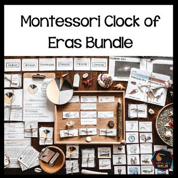
Montessori Clock of Eras Support material bundle
Montessori Clock of Eras Pack for understanding the geological time scale. This bundle includes resources for face to face teaching and digital items that can be used with google slidesHARD COPY RESOURCES:Clock of Eras Paragraphs Included:** 4 pages with descriptions of each eraMontessori Clock of Eras: 3 part cardsIncluded:** 7 sets of cards which isolate each Era plus control cards to match clock to name.Montessori Clock of Eras: Features of each eraMontessori activity to complement the clock
Subjects:
Grades:
3rd - 5th
Types:
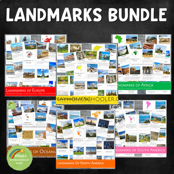
Landmarks Around the World Bundle Pack
This is a MEGA Montessori Bundle Pack, a big collection of landmarks around the world, which contains the following learning materials:✴ Landmarks of Australia/Oceania✴ Landmarks of Africa✴ Landmarks of Asia✴ Landmarks of Europe✴ Landmarks of North America✴ Landmarks of South America Be sure to check the individual files if you are just looking for one specific continent. We always use our printables at home in our homeschool journey. To see how it works, you are more than welcome to follow
Grades:
PreK - 6th
Types:
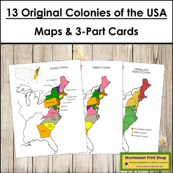
13 Original Colonies of the United States Maps, 3-Part Cards & Information
13 Original Colonies of the United States Maps & Information -Includes the following maps of the 13 original colonies of the USA as the states are divided today. The color maps are colored using the traditional Montessori map colors.Includes:1 black and white blank map1 black and white labeled map1 colored blank map1 colored and labeled map3 regions of the 13 colonies (includes maps for each of the 3 regions)It also includes the following maps of the 13 original colonies of the USA as the st
Grades:
3rd - 6th
Types:
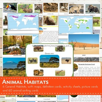
Montessori Inspired Animal World Habitats Learning Pack
I created this file for our geography and animal studies at home. We use this to study the different biomes (habitats) of the world and the animals that thrive on it. This printable is suitable for SORTING ACTIVITIES as well. The pictures I provided are big and clear enough for classroom discussion or for private use.
This file contains the following:
- 6 pictures of habitats (desert, temperate deciduous forest,
grassland, tundra, taiga, rainforest)
- 60 picture cards of animals (10 animals
Subjects:
Grades:
PreK - 6th
Types:
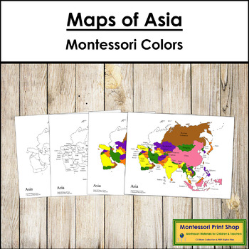
Maps of Asia (Color & Blackline Masters) - Montessori color-code
Maps of Asia (Color & Blackline Masters) - This material includes the following maps of Asia:1 black & white blank map1 black & white labeled map1 colored blank map1 colored and labeled map2 sets of map labels for the large wooden puzzle mapMaps print on 8½ x 11" paper and follow the traditional Montessori map colors.The pin flags that accompany these maps can be found here.The color-coded pin flags that accompany these maps can be found here.You may be interested in the following:As
Subjects:
Grades:
K - 4th
Types:
Also included in: Montessori Maps Of The World Bundle - World Geography
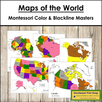
Montessori Maps Of The World Bundle - World Geography
All maps in this World Maps Bundle are color-coded using the traditional Montessori map colors. They are excellent control maps for children using the traditional wooden Montessori maps.Continent maps are in full color and include:blank outline mapcolor maplabeled outline maplabeled color mapCapital city maps are in black & white and include:blank outline map with dotslabeled outline mapMaps included:The WorldNorth AmericaNorth America - capital citiesCanadaCanada - capital citiesUSAUSA - ca
Subjects:
Grades:
K - 5th
Types:
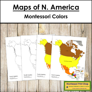
Maps of North America (Color & Blackline Masters) - Montessori color-code
Maps of North America (Color & Blackline Masters) - Includes:1 black & white blank map1 black & white labeled map1 colored blank map1 colored and labeled map2 sets of map labels for the large wooden puzzle mapMaps print on 8½ x 11" paper and follow the traditional Montessori map colors.The pin flags that accompany these maps can be found here.The color-coded pin flags that accompany these maps can be found here.You may be interested in the following:North American Capital Cities MapN
Subjects:
Grades:
K - 4th
Types:
Also included in: Montessori Maps Of The World Bundle - World Geography
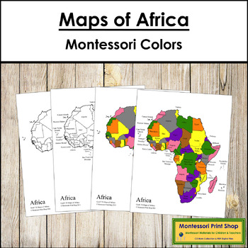
Maps of Africa (Color & Blackline Masters) - Montessori color-code
Maps of Africa (Color & Blackline Masters) - Includes the following maps of Africa:1 black & white blank map1 black & white labeled map1 colored blank map1 colored and labeled map2 sets of map labels for the large wooden puzzle mapMaps print on 8½ x 11" paper and follow the traditional Montessori map colors.The pin flags that accompany these maps can be found here.The color-coded pin flags that accompany these maps can be found here.You may be interested in the following:African Capi
Subjects:
Grades:
1st - 4th
Types:
Also included in: Montessori Maps Of The World Bundle - World Geography
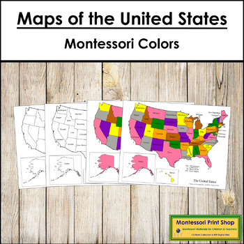
Maps of the United States of America - Montessori color-code
Maps of the United States of America - Includes the following maps of the United States:1 black & white blank map1 black & white labeled map1 colored blank map1 colored and labeled mapset of map labels for the large wooden puzzle mapMaps print on 8½ x 11″ paper and follow the traditional Montessori map colors.The pin flags that accompany these maps can be found here.The color-coded pin flags that accompany these maps can be found here.You may be interested in USA Capital Cities Control M
Subjects:
Grades:
1st - 4th
Types:
Also included in: Montessori Maps Of The World Bundle - World Geography
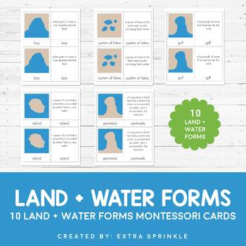
Land and Water Forms Montessori Cards
Check out my other MONTESSORI CARDSDear Educator,Thank you for purchasing the Land and Water Forms Montessori Cards. This set of nomenclature cards is an engaging way to teach your children about the various land and water forms.Included in this packet you will find 10 land and water forms represented:- bay- cape- gulf- peninsula- strait- isthmus- systems of lakes- archipelago- lake- islandFor each type or land and water form, there are TWO types of Montessori nomenclature cards. One card featur
Subjects:
Grades:
2nd - 6th
Types:
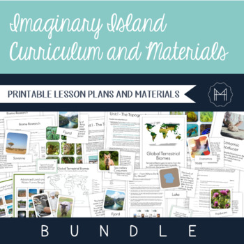
Imaginary Island Curriculum and Materials Bundle!
The beauty of Montessori lessons can be seen in how seamlessly they build on one another, guiding the child to true comprehension. Though this is generally highlighted in the Montessori math and language curricula, a beautiful sequence can be seen as the child makes their way through the cultural curriculum as well. Preparation for the Imaginary Island Study begins in the Children’s House. It is here that they are introduced to basic land and water forms, the complexity of which extends as they
Subjects:
Grades:
3rd - 7th
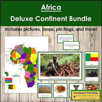
Africa Deluxe Continent Bundle (Color Borders) - Montessori Geography
Africa Deluxe Continent Bundle - This bundle includes all the maps, flags, and photographic card sets (181 pictures) for your African continent study. The children will love learning about Africa as they look through these beautiful photographic cards and use all the maps. All cards have a green border to match the traditional Montessori map colors.Includes:continent cardsanimalscultureflags (color & blackline masters)foodlandmarksmusical instrumentsmap & map labels (pin flags)flags (pin
Subjects:
Grades:
K - 4th
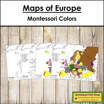
Maps of Europe (Color & Blackline Masters) - Montessori color-code
Maps of Europe (Color & Blackline Masters) - Includes the following maps of Europe:1 black & white blank map1 black & white labeled map1 colored blank map1 colored and labeled map2 sets of map labels for the large wooden puzzle mapMaps print on 8½ x 11″ paper and follow the traditional Montessori map colors.The pin flags that accompany these maps can be found here.The color-coded pin flags that accompany these maps can be found here.You may be interested in the following:European Cap
Subjects:
Grades:
K - 4th
Types:
Also included in: Montessori Maps Of The World Bundle - World Geography
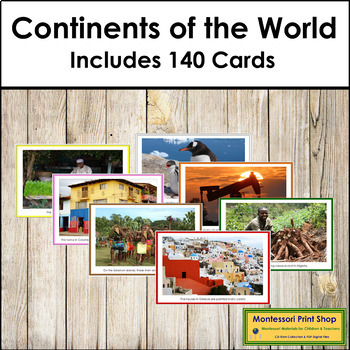
Continent Cards of the World Bundle (color borders)
Continent Cards of the World Bundle (color borders) -This bundle includes 7 sets of cards for your study of the continents (one for each continent). Photographs introduce the people, their life, and images of each continent.Includes:140 picture cards with short captionsCards are approx. 5" x 7½". Each card has a color border corresponding to the continent color on the traditional Montessori map of the world. This set is also available without color borders.
Subjects:
Grades:
K - 4th
Types:
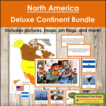
North America Deluxe Continent Bundle (Color Borders) - Montessori Geography
North America Deluxe Continent Bundle (color borders) - This bundle includes all maps, flags, and photographic card sets for your North American continent study. The children will love learning about North America (including Central America) as they look through these beautiful photographic cards and use all the maps. Contains 167 picture cards, maps, pin flags, and more. All cards have an orange border.Includes:continent cardsanimalscultureflags (color & blackline masters)foodlandmarksmusic
Subjects:
Grades:
K - 4th
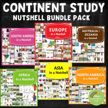
Continent Study Nutshell Geography Series Bundle
It contains all the learning materials in my Nutshell series.NORTH AMERICA IN A NUTSHELL (2022 UPDATED!)⭐ Montessori North America Continent Maps in blue and white background⭐ North American country locator maps and in the blackline format⭐ Countries Fact Cards for North America and in blank format⭐ 24 Country Flags of North America3 Part Cards FormatBlackline Masters⭐ Parts of American Alligator Nomenclature Cards with activity sheets⭐ 10 North America Plants in 3 Part Cards formatMap Locations
Subjects:
Grades:
K - 6th
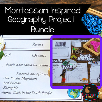
Geography Projects Bundle
Elementary Geography Projects and research tasks. This bundle of Geography tasks are the perfect supplement to Social Studies programs to help extend cultural and physical knowledge of countries and continents.These activities and task cards will extend your students knowledge and allow opportunities for students to integrate their knowledge and connect between curriculum areas. This bundle includes-21 task cards with projects for students to do related to Geography Curriculum-50+ pages of Conti
Subjects:
Grades:
3rd - 6th
Types:
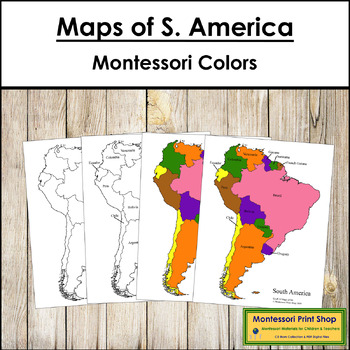
Maps of South America (Color & Blackline Masters) - Montessori color-code
Maps of South America (Color & Blackline Masters) - Includes the following maps of South America:1 black & white blank map1 black & white labeled map1 colored blank map1 colored and labeled map2 sets of map labels for the large wooden puzzle mapThe pin flags that accompany these maps can be found here.The color-coded pin flags that accompany these maps can be found here.Maps print on 8½ x 11" paper and follow the traditional Montessori map colors.You may be interested in the followin
Subjects:
Grades:
1st - 4th
Types:
Also included in: Montessori Maps Of The World Bundle - World Geography
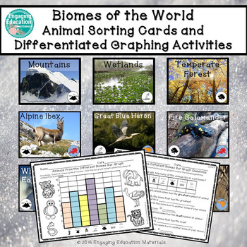
Biomes of the World Animal Sorting Cards and Graphing Activities
These engaging, hands-on activities incorporate a cross-curricular approach to learning. Students sort 56 animal cards under the following biomes of the world heading cards: Desert, Mountains, Rainforest, Wetlands, Temperate Forest, Grasslands, and Polar Regions. There is a total of 8 animal cards for each biome category. Students use the picture clues, as well as the biome and continent icons presented on each animal card, to determine which biome the animals belong to. The continent icon
Subjects:
Grades:
1st - 4th
Types:
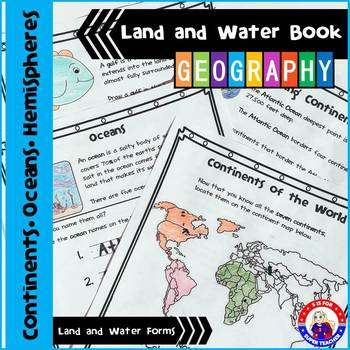
Geography - Land and Water Book - NO PREP
I LOVE this packet, you can either use the activity pages individually or as a book for your geography unit (cover included). In my class, we use this packet to learn more about geography and to practice research skills. The students use an atlas,' the globe, and the internet to help them discover the answers! On each page, there is a definition and an activity to support it!
You can watch a short video at this Link:
https://www.youtube.com/watch?v=iBt_mHMaBUs
Included:
1. Continents of the
Grades:
K - 4th
Types:
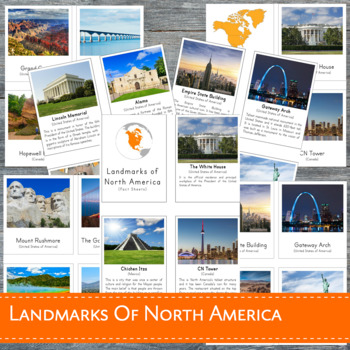
Montessori Landmarks of North America 3 Part Cards
This learning material features 23 high-quality REAL images of known landmarks in North America in 3-part cards format. This file is in a .zip form and contains 2 PDF files: (1) Landmarks of North America with BORDER (2) Landmarks of North America without border. Each file includes:- 23 control cards (picture and label)- 23 picture cards- 23 labels- title cards- 23 fact cards- added pin flagsDOES NOT INCLUDE A NORTH AMERICA MAPTHIS FILE IS PART OF A BIGGER BUNDLE, which includes all LANDMARKS i
Subjects:
Grades:
PreK - 6th
Types:
Also included in: Landmarks Around the World Bundle Pack
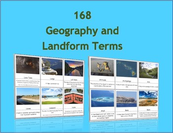
168 Geography and Landform Terms Flash Cards / 3 Part Montessori Cards
These cards align with most state standards and Classical Conversations Challenge A program. Additionally, these cards include terms specifically related to Hawaii's geography features such as windward, lava tube, etc. (Please see list below for a full list of terms.)The cards contained in this packet can be used as traditional flashcards or 3 Part Cards. The 3-Part Cards are Montessori inspired. Rote memorization can be difficult for children with dyslexia. The purpose of these cards is to as
Subjects:
Grades:
3rd - 12th
Also included in: Geography Terms Classical Conversations Aligned Bundle
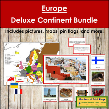
Europe Deluxe Continent Bundle (Color Borders) - Montessori Geography
Europe Deluxe Continent Bundle (color borders) - This bundle includes the maps, flags, and photographic card sets for your European continent study. The children will love learning about Europe as they look through these beautiful photographic cards and use all the maps. Contains 166 picture cards, maps, pin flags, and more. All cards have a red border.Includes:continent cardsanimalscultureflags (color & blackline masters)foodlandmarksmusical instrumentsmap & map labels (pin flags)flags
Subjects:
Grades:
K - 4th
Showing 1-24 of 1,162 results

