1,481 results
Elementary geography printable microsofts
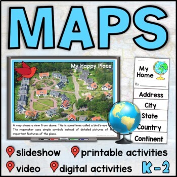
Map Skills Unit with Slideshow– Me on the Map – Maps and Globes - with Digital
This map skills unit for K-2 has all you need to teach your students about maps and globes. With an informational map skills PowerPoint slideshow (also included in video form), vocabulary resources, printable activities and books, and digital activities for Seesaw and Google Slides, this set will get your little geographers making, reading, and talking all about maps! Perfect to use alongside the read-aloud Me on the Map, this maps unit includes an easy-to-assemble “My Home” booklet with version
Subjects:
Grades:
K - 1st
Trip to Mexico Power Point and Activities Pack | Cinco De Mayo Activities
Have a great time learning about Mexico with this fun Power Point and Activities Pack. Both PowerPoint and Google Slides versions are included. It's the perfect activity during Cinco De Mayo, the last week of school, or for some Friday fun! Your class will be introduced to the geography, language, culture, and food in Mexico. The PowerPoint is packed with colorful, real photos. And a variety of activities are included to help your students reflect on what they've learned. Be sure to read the tip
Subjects:
Grades:
K - 6th

Latitude & Longitude Worksheet for Latitude & Longitude Practice with PowerPoint
This interactive Social Studies lesson engages your students in note-taking of important concepts and lets them use their creativity to show what they have learned!▁▁▁▁▁▁▁▁▁▁▁▁▁▁▁▁▁▁▁▁▁▁▁▁▁▁▁▁▁▁▁▁▁▁▁▁▁▁WHAT IS INCLUDED IN THIS RESOURCE?⇨ 10-page PowerPoint Presentation: Show a vibrant Powerpoint to your students to introduce concepts like longitude, latitude, grid map, coordinates, Prime Meridian, International Dateline, and Equator. ⇨ Accompanying Worksheets: As you engage them in this powerp
Grades:
2nd - 5th
"Trip to Hawaii" Power Point & Activities Pack!
This makes for such a fantastic end of year activity! You'll have a great time learning about Hawaii with this fun Power Point and Activities Packet with your students. Read about how I take my class on this exciting adventure below....Check out other products like this!Trip to Mexico BundleTrip to Australia BundleTrip to South AmericaFREE World Travel Student PassportIncluded in this pack... (check out the preview file for a sneak peek!)-47 slide power point on Hawaii where you learn about -
Subjects:
Grades:
K - 6th
Foundation HASS Bundle | Australian Curriculum | Geography & History
This bundle includes all of your Foundation HASS planning for the entire year! These four units explore personal histories and family, personal celebrations, identifying and caring for special places, geographical skills and more! Featuring detailed lesson plans, PowerPoint slides, activity sheets and assessment; it has everything you need!What's included?My Personal & Family History My Personal & Family History PowerPoint 85 + slides.Vocabulary warm-up slidesActivity slides linked to ea
Grades:
K
"Trip to South America" Power Point & Activities Pack!
Have a great time learning about South America with this fun Power Point and Activities Packet. Read about how I take my class on this exciting adventure below....✨Check out other products like this!Trip to Mexico BundleTrip to Hawaii BundleTrip to Australia BundleFREE World Travel Student PassportIncluded in this pack: -55 slide power point on South America where you learn about -the geography -the language -fun places to visit -the culture -the food -the animals14 Pages of Activiti
Subjects:
Grades:
1st - 6th
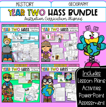
Year Two HASS Bundle | Australian Curriculum | History & Geography
This bundle includes all of your Year Two HASS planning for the entire year! These four units explore technology over time, important places, geographical skills and more! Featuring detailed lesson plans, PowerPoint slides, activity sheets and optional assessment; it has everything you need!What's included?Technology Over TimeTechnology Over Time PowerPoint 120 + slides.Vocabulary warm-up slidesActivity slides linked to each lesson plan. 10 x Detailed Lesson Plans: Includes learning intentions.D
Grades:
1st - 3rd
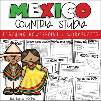
All About Mexico - Country Study
Your students will love learning all about Mexico with this fun country study! Included is a Powerpoint slideshow (.pptx) to teach your class all about Mexico, the capital city, flag, food, language, famous landmarks, the Day of the Dead and the Mayan Civilization! Student activity worksheets are also included based on the facts in the Powerpoint (all differentiated on two levels to support the different abilities in your class), plus a Mexico word search, postcard activity and favorite facts ac
Subjects:
Grades:
1st - 3rd
Also included in: Country Study Bundle
"Trip to Australia" Power Point & Activities Pack!
Have a great time learning about Australia with this fun Power Point and Activities Packet! Read about how I take my class on this exciting adventure below.Check out other resources like this!Trip To Asia BundleTrip to Mexico BundleTrip to Hawaii BundleTrip to South America BundleFREE World Travel Student Passport✨Save $$ with the Continents and Countries Bundle! Get 8 different "Trip to" resources to use throughout the year, and save 30%!Included in this pack... 50 slide PowerPoint or PDF on Au
Subjects:
Grades:
1st - 6th
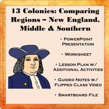
13 Colonies: Comparing Regions - New England, Middle, & Southern Colonies
13 Colonies: Comparing the Regions – New England, Middle & Southern ColoniesThis lesson teaches how the three regions of the 13 Colonies differed from one another: New England, the Middle Colonies, and the Southern Colonies. Students will learn how the climate and geography of the three colonial regions impacted the economic as well as the social lives of colonists in the three regions of the 13 Colonies. Students will learn how the New England colonists had to look to different types of rev
Subjects:
Grades:
5th - 11th
Also included in: Early US History Bundle: 1492 - Civil War
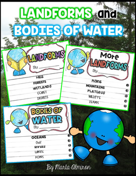
LANDFORMS and BODIES OF WATER {Flipbooks and Presentations}
This is a complete unit to cover Landforms and Bodies of Water.Includes:✔ 2 interactive flipbooks covering the following Landforms: hills, forest, wetlands, coast, deserts, plains, mountains, plateau, valley, and islands.✔ 1 interactive flipbook covering the following Bodies of Water: oceans, gulf, river, lake, and pond.✔ Instructions to assemble flipbooks.✔ Variety of worksheets that can also work as assessments.✔ Presentations with definitions and photographs of all the landforms and bodies of
Subjects:
Grades:
K - 2nd
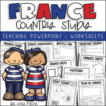
All About France - Country Study
Your students will love learning all about France with this fun country study! Included is an all about France Powerpoint presentation (.pptx) to teach your class all about France, the capital city, flag, food, language, famous landmarks, Bastille Day and the Tour de France! Student activity worksheets are also included based on the facts in the Powerpoint (all differentiated on two levels to support the different abilities in your class), plus a France word search, postcard activity and favorit
Subjects:
Grades:
1st - 3rd
Also included in: Country Study Bundle
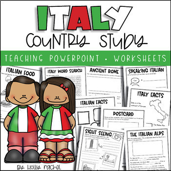
All About Italy - Country Study
Your students will love learning all about Italy with this fun country study! Included is an all about Italy Powerpoint presentation (.pptx) to teach your class all about Italy, the capital city, flag, food, language, famous landmarks, Ancient Rome and the Italian Alps! Student activity worksheets are also included based on the facts in the Powerpoint (all differentiated on two levels to support the different abilities in your class), plus an Italy word search, postcard activity and favorite fac
Subjects:
Grades:
1st - 3rd
Also included in: Country Study Bundle
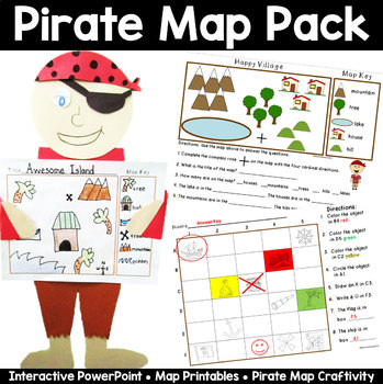
Map Pack: Pirate Theme- Perfect for Talk Like a Pirate Day
Ahoy Mateys! Ye students will shout "Shiver Me Timbers" as they're learning all about basic map skills with this piratey map pack that includes an interactive PowerPoint lesson, practice sheets, and an awesome make your own map craftivity, pirate style!This 33 page packet includes the following:Interactive and fun PowerPoint lesson that introduces the parts of a map- title, map key, symbols, and compass rose, and how to read a map with a grid. A Make Your Own Compass for each student. Two Basic
Grades:
K - 2nd
Also included in: Talk Like a Pirate Day Activities Bundle
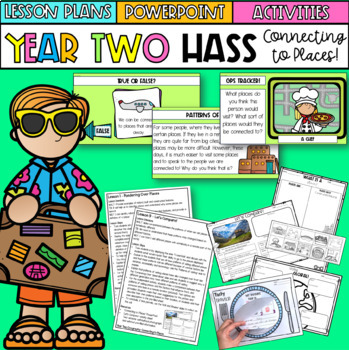
Year Two HASS 'Connecting To Places' | Australian Curriculum | Geography
This unit includes everything you need to teach a 'Connecting To Places' unit for Year Two HASS for the entire term! Paired with my 'Our Wonderful World' unit, all of your Geography content is covered. This particular unit explores how we are connected to particular places for different reasons. Students investigate aspects of places, including their features, name and significance. They explore how their connections to places can be influenced by various factors and begin to understand their p
Subjects:
Grades:
1st - 3rd
Also included in: Year Two HASS Bundle | Australian Curriculum | History & Geography
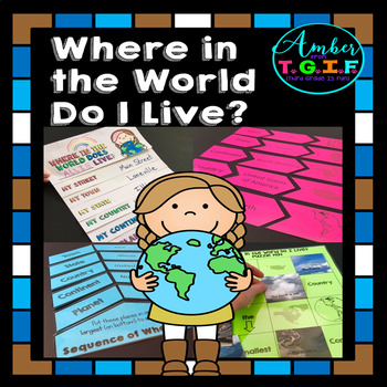
Me on the Map activities | Where Do I Live
I have always used a Me on the Map flipbook to help my students understand the concept of “Where do I live?” I felt they needed more practice to really get a great grasp of the concept of “Where in the world do I live?” so these fun centers were also created. Bonus – The “state” and “town” sections are EDITABLE to type in your own state and town names. Here is what is included:* “Where in the World Do I Live (Me on the Map) flipbook (blank versions and with clipart of planet, continent, count
Grades:
2nd - 4th
Types:
Also included in: Map Skills for 2nd, 3rd, and 4th Grades Bundle | Print and Digital
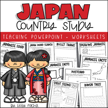
All About Japan - Country Study
Your students will love learning all about Japan with this fun country study! Included is an all about Japan Powerpoint presentation (.pptx) to teach your class all about Japan, the capital city, flag, food, language, famous landmarks, bullet trains and bonsai trees! Student activity worksheets are also included based on the facts in the Powerpoint (all differentiated on two levels to support the different abilities in your class), plus a Japan word search, postcard activity and favorite facts a
Subjects:
Grades:
1st - 3rd
Also included in: Country Study Bundle
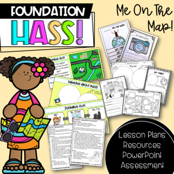
Foundation HASS 'Me on the Map' | Australian Curriculum | Geography
This unit includes everything you need to teach a 'Me on the Map' unit for Foundation & Pre-Primary HASS for the entire term! Paired with my 'Places We Belong' unit, all of your Geography content is covered. This particular unit revisits special places, through exploring local places and places around Australia, before investigating maps and where students are located in terms of street, city, state/territory and country. Important: As this is an Australian resource, the majority of lessons
Subjects:
Grades:
PreK - 1st
Also included in: Foundation HASS Bundle | Australian Curriculum | Geography & History
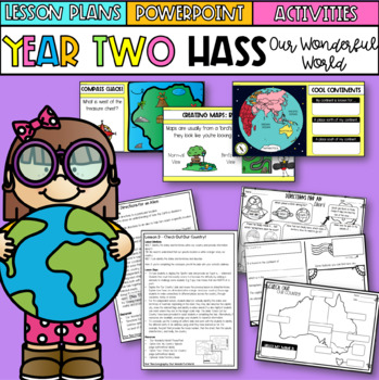
Year Two HASS 'Our Wonderful World' | Australian Curriculum | Geography
This unit includes everything you need to teach an 'Our Wonderful World' unit for Year Two HASS for the entire term! Paired with my 'Connecting to Places unit, all of your Geography content is covered. This particular unit explores how our location is part of a larger location, through investigating maps and places on a local, national and global scale.Want to grab this resource in a money saving bundle? Click here for my Year Two HASS bundle!What's included?Our Wonderful WorldOur Wonderful Wor
Subjects:
Grades:
1st - 3rd
Also included in: Year Two HASS Bundle | Australian Curriculum | History & Geography
A Trip To Asia Power Point & Activities Pack!- Asia Continent Study
Have a great time learning about a few of the countries in Asia with this fun Power Point and Activities Packet. Read in detail about how I take my class on this exciting adventure below....Grab this freebie to go with it! :)World Travel Student PassportIncluded in this pack:-75 slide power point on Asia where you learn about: -the geography -the language -fun places to visit -the food -the animals - this power point visits Japan, China, Russia, and Thailand specifically.Activity Boo
Subjects:
Grades:
1st - 5th
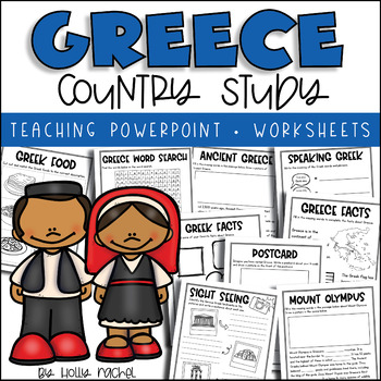
All About Greece - Country Study
Your students will love learning all about Greece with this fun country study! Included is an all about Greece Powerpoint presentation (.pptx) to teach your class all about Greece, the capital city, flag, food, language, famous landmarks, Ancient Greece and Mount Olympus! Student activity worksheets are also included based on the facts in the Powerpoint (all differentiated on two levels to support the different abilities in your class), plus a Greece word search, postcard activity and favorite f
Grades:
1st - 3rd
Also included in: Country Study Bundle
Ancient History Interactive Notebook Mega Bundle
This bundle includes all the Ancient History Interactive Notebooks currently available in The Teacher's Prep store!
ANSWER KEYS are included in each notebook!
**An editable vocabulary page has been added to this resource. It's in a PowerPoint file. Simply add in your own vocabulary words, print, and go!**
The bundle includes a wide variety of interactive notebook graphic organizers for each civilization in the bundle. This allows teachers to customize the activities for their own classrooms
Subjects:
Grades:
5th - 8th
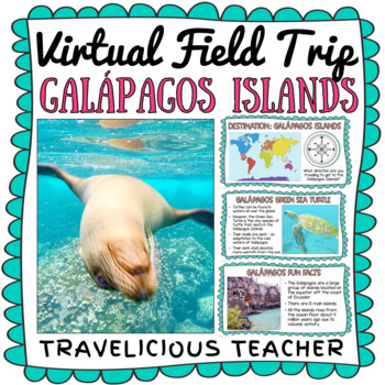
Galápagos Islands Virtual Field Trip
The Galápagos Islands of Ecuador are home to some of the most unique animals in the WORLD! Take your students on an engaging virtual field trip to these beautiful islands. Learn all about Charles Darwin, the islands, and the many animals that live there.INCLUDED IN THE EXPERIENCE:Photographs from the Galápagos IslandsDiscuss the cardinal directionsGalápagos Fun FactsGreen Sea TurtlesGiant TortoisesSea LionsMarine IguanasVideo about Charles DarwinVideos of each animal in their habitatTHIS RESOURC
Subjects:
Grades:
1st - 5th
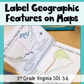
3rd Grade Geography - Label Continent Maps with Geographic Features - SOL 3.6
Need maps that focus on third grade Virginia standards? Look no further! These printable and digital maps focus exclusively on the geographic features third graders in Virginia need to know in North America, South America, Europe, Asia, and Africa. Use these maps for instruction, whole group practice, student notes, or assessment. Keep reading to get all the details!Printable Maps: Students will follow the directions on each page to add geographic features to the maps. For example, "Draw a blue
Subjects:
Grades:
3rd
Also included in: Geographic Features BUNDLE - 3rd Grade Geography Unit - VA SOL 3.6
Showing 1-24 of 1,481 results


