12 results
8th grade geography Common Core 5.G.A.2 resources
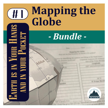
Mapping the Globe: Bundle
This bundle contains a PDF which includes an inspirational classroom poster, detailed lesson plan, student worksheet, teacher answer key, and teacher template for this step of Mapping the Globe.PLUS An editable Google Doc for students to fill in.AND Piper's Folding Globe Student TemplateYou can choose to print this file as a student handout (mainly the first page) or choose to assign it digitally for students to fill in electronically and place digital pictures of their mapped globe within the
Subjects:
Grades:
5th - 12th
Types:
CCSS:
NGSS:
HS-ESS2-1
, 5-ESS2-1
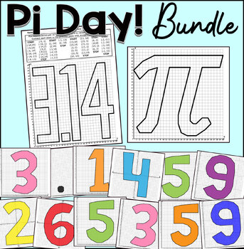
Pi Day Coordinate Graphing Mystery Pictures | Classroom Collaborative Poster
Practice plotting ordered pairs with this Pi Day coordinate graphing mystery pictures! Students enjoy completing and coloring these fun pictures.Choose from either the first quadrant (positive whole numbers) or the four quadrants (positive and negative whole numbers) worksheet.This coordinate graphing bundle includes the following mystery graphs:Pi Symbole3.140-9 DigitsThis product includes:Coordinates List.Answer Key With Lines.Graph PaperThis activity is great for math centers, fast finishers,
Subjects:
Grades:
2nd - 8th
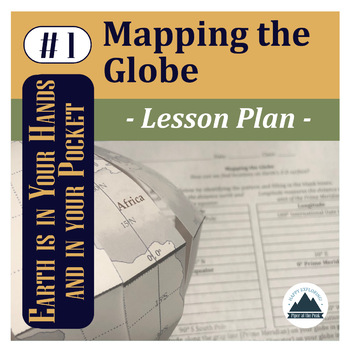
Mapping the Globe: Lesson Plan
This file contains a PDF which includes an inspirational classroom poster, detailed lesson plan with pictures, student worksheet, teacher answer key, and answer template for Mapping the Globe.*While you can use this lesson with other classroom globes or even flat maps, you may be interested in the Student Template: Piper's Folding Globe so students can add to this globe with other Mapping the... lessons throughout the semester while keeping it flat and safe in their binders between lessons.*The
Subjects:
Grades:
5th - 12th
NGSS:
HS-ESS2-1
, 5-ESS2-1
Also included in: Mapping the Globe: Bundle
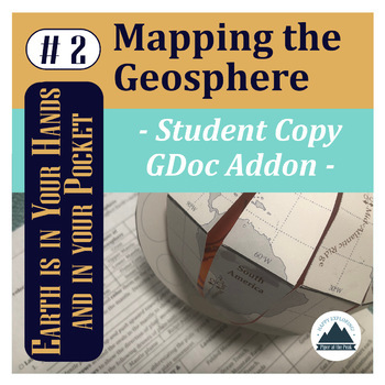
Mapping the Geosphere: Student Copy
This file contains an editable Google Doc for students to fill in. It will guide them through their their second step in labeling their foldable globe- with the layers of the Earth and plate boundary types that create landforms around the world.For more detailed instructions on how to complete this step, check out Mapping the Geosphere: Lesson Plan (detailed teacher directions, teacher template, answer key, and inspirational classroom poster) or the Mapping the Geosphere: Bundle (lesson plan an
Subjects:
Grades:
5th - 12th
Types:
NGSS:
HS-ESS2-3
, HS-ESS2-1
, MS-ESS2-2
, HS-ESS1-5
, 5-ESS2-1
Also included in: Mapping the Geosphere: Bundle
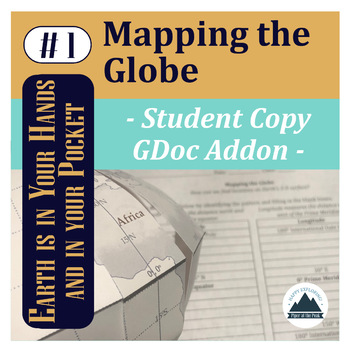
Mapping the Globe: Student Copy
This file contains an editable Google Doc for students to fill in. It will guide them through their their first step in labeling their foldable globe- with latitude and longitude that form the basis of our global coordinate system and continents.*While you can use this lesson with other classroom globes or even flat maps, you may be interested in the Student Template: Piper's Folding Globe so students can add to this globe with other Mapping the... lessons throughout the semester while keeping
Subjects:
Grades:
5th - 12th
Types:
NGSS:
HS-ESS2-1
, 5-ESS2-1
Also included in: Mapping the Globe: Bundle
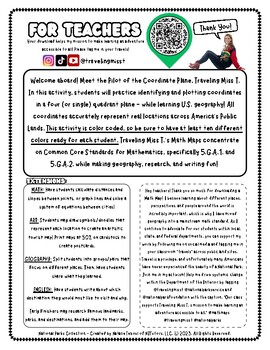
Explore Glacier National Park with Traveling Miss T.
In this activity, students will practice identifying and plotting points in a coordinate plane - while learning geography! All coordinates accurately represent real locations around the world. All Math Maps come with additional extensions in math, art, geography, and writing. Don't forget to tag Miss T. in your adventures @travelingmisst #travelingmisst #mathmapsFor hundreds of Math Maps © visit my website www.travelingmisst.com
Subjects:
Grades:
4th - 8th
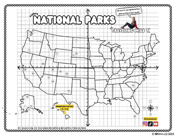
Explore National Parks with Traveling Miss T.
Hi teacher friends! My name is Natalie Teboul and I am the creator of Traveling Miss T.'s Math Maps ©. I work with local, state, and federal agencies to bring our public lands to students in classrooms for free with my innovative Math Maps. For hundreds of different Math Maps, check out my website at www.travelingmisst.com.I'm on TPT to ask all teachers to rally behind me and help me create systemic change! Please download this free map of our National Parks, have your students practice their co
Subjects:
Grades:
5th - 9th
Types:
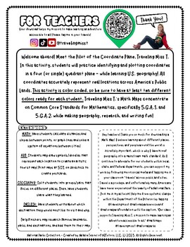
Explore Denali National Park with Traveling Miss T.
In this activity, students will practice identifying and plotting points in a coordinate plane - while learning geography! All coordinates accurately represent real locations around the world. All Math Maps come with additional extensions in math, art, geography, and writing. Don't forget to tag Miss T. in your adventures @travelingmisst #travelingmisst #mathmapsFor hundreds of Math Maps © visit my website www.travelingmisst.com
Subjects:
Grades:
5th - 8th
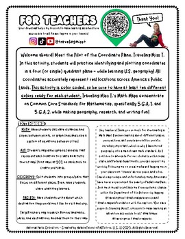
Explore Joshua Tree with Traveling Miss T.
In this activity, students will practice identifying and plotting points in a coordinate plane - while learning geography! All coordinates accurately represent real locations around the world. All Math Maps come with additional extensions in math, art, geography, and writing. Don't forget to tag Miss T. in your adventures @travelingmisst #travelingmisst #mathmapsFor hundreds of Math Maps © visit my website www.travelingmisst.com
Subjects:
Grades:
4th - 8th
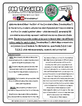
Explore Yellowstone with Traveling Miss T.
In this activity, students will practice identifying and plotting points in a coordinate plane - while learning geography! All coordinates accurately represent real locations around the world. All Math Maps come with additional extensions in math, art, geography, and writing. Don't forget to tag Miss T. in your adventures @travelingmisst #travelingmisst #mathmapsFor hundreds of Math Maps © visit my website www.travelingmisst.com
Subjects:
Grades:
5th - 8th
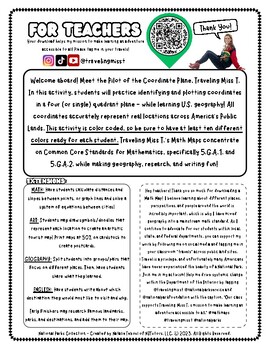
Explore Grand Teton with Traveling Miss T.
In this activity, students will practice identifying and plotting points in a coordinate plane - while learning geography! All coordinates accurately represent real locations around the world. All Math Maps come with additional extensions in math, art, geography, and writing. Don't forget to tag Miss T. in your adventures @travelingmisst #travelingmisst #mathmapsFor hundreds of Math Maps © visit my website www.travelingmisst.com
Subjects:
Grades:
4th - 8th
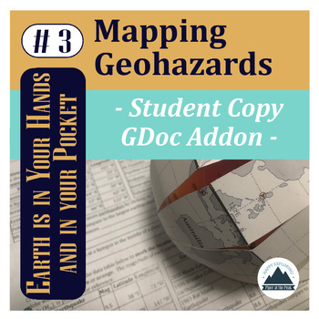
Mapping Geohazards: Student Copy
This file contains an editable Google Doc for students to fill in. It will guide them through their their third step in labeling their foldable globe- with locations of volcanoes and earthquakes around the world. It will also connect them to real-time databases to compare how their mapped content compares and analyze patterns.For more detailed instructions on how to complete this step, check out Mapping Geohazards: Lesson Plan (detailed teacher directions, teacher template, answer key, and ins
Subjects:
Grades:
5th - 12th
Types:
NGSS:
HS-ESS2-1
, HS-ESS3-1
Also included in: Mapping Basics Bundle
Showing 1-12 of 12 results


