9 results
8th grade earth sciences Common Core 5.G.A.2 resources
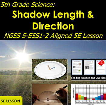
5th Grade Science: Shadow Length and Direction NGSS 5-ESS1-2 Aligned Lesson
5th Grade Science: Shadow Length and Direction NGSS 5-ESS1-2 Aligned LessonYou don't have to go outside to teach about shadows. With PowerPoint presentations, a video, hands-on lab exercises, and an explanatory reading passage, students will discover how shadows change in direction and size during the day in their classroom.This Project provides two instructional PowerPoint presentations to set up and perform this experiment. Teachers will only need to duplicate forms and supply scissors, glu
Subjects:
Grades:
4th - 8th
NGSS:
5-ESS1-2
Also included in: NGSS Fifth Grade Science Curriculum Bundle | Phenomena-Based Lessons!
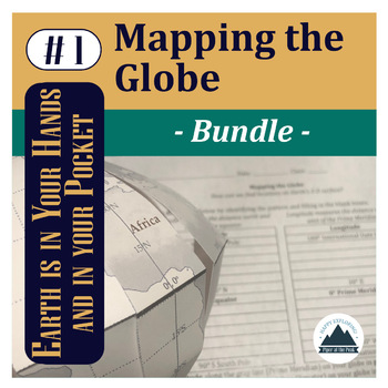
Mapping the Globe: Bundle
This bundle contains a PDF which includes an inspirational classroom poster, detailed lesson plan, student worksheet, teacher answer key, and teacher template for this step of Mapping the Globe.PLUS An editable Google Doc for students to fill in.AND Piper's Folding Globe Student TemplateYou can choose to print this file as a student handout (mainly the first page) or choose to assign it digitally for students to fill in electronically and place digital pictures of their mapped globe within the
Subjects:
Grades:
5th - 12th
Types:
CCSS:
NGSS:
HS-ESS2-1
, 5-ESS2-1
Active Learning Tutorials for Astronomy & Space Science - 60 activities included
These 60 easy-to-use, print-ready, 2-page-long, conceptual astronomy mini-tutorials for students in grades 5-10 comprehensively cover all the topics across the universe of astronomy. Each mini-lesson takes only 4 to 8 minutes to complete. Great for students who are emerging readers, these lessons are highly graphical. Designed specifically for teachers who have limited background knowledge in astronomy, these astronomy tutorial sheets guide students through everything they need to know from firs
Subjects:
Grades:
4th - 11th
Types:
CCSS:
NGSS:
MS-ESS1-4
, MS-ESS1-2
, MS-ESS1-3
, MS-ESS1-1
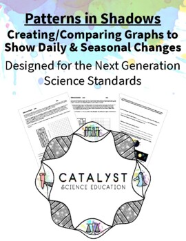
Patterns in Shadows - Creating/Comparing Graphs to Show Daily & Seasonal Changes
As the Earth rotates, it creates a daily pattern of shadows that students can observe and measure through hands-on activities. But the Earth moves in other ways, including revolution. This activity allows students to explore both ideas: that shadows change daily and shadows change seasonally. Students create graphs, then compare those graphs in order to make sense of Earth’s movements. Finally, students use this information to predict how long it takes for Earth to revolve around the Sun one tim
Subjects:
Grades:
5th - 8th
Types:
NGSS:
5-ESS1-2
, MS-ESS1-1
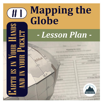
Mapping the Globe: Lesson Plan
This file contains a PDF which includes an inspirational classroom poster, detailed lesson plan with pictures, student worksheet, teacher answer key, and answer template for Mapping the Globe.*While you can use this lesson with other classroom globes or even flat maps, you may be interested in the Student Template: Piper's Folding Globe so students can add to this globe with other Mapping the... lessons throughout the semester while keeping it flat and safe in their binders between lessons.*The
Subjects:
Grades:
5th - 12th
NGSS:
HS-ESS2-1
, 5-ESS2-1
Also included in: Mapping the Globe: Bundle
Patterns in Daylight Hours - Does DST Cause the Amount of Daylight to Change?
As the Earth rotates, it creates a daily pattern of shadows that students can observe and measure through hands-on activities. As the Earth revolves, it creates a seasonal pattern in the length of shadows that students can track over time. But Earth’s revolution also creates a pattern of changing daylight hours. Students may know from personal experience that the amount of daylight hours also changes. If you live in a place that observes Daylight Saving Time, students may falsely think that by c
Subjects:
Grades:
5th - 8th
Types:
NGSS:
5-ESS1-2
, MS-ESS1-1
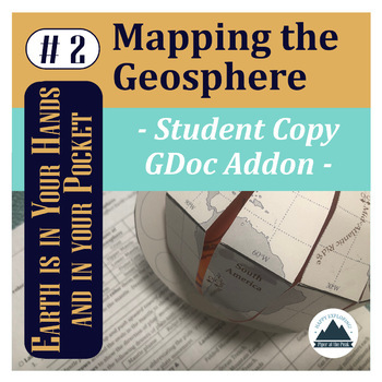
Mapping the Geosphere: Student Copy
This file contains an editable Google Doc for students to fill in. It will guide them through their their second step in labeling their foldable globe- with the layers of the Earth and plate boundary types that create landforms around the world.For more detailed instructions on how to complete this step, check out Mapping the Geosphere: Lesson Plan (detailed teacher directions, teacher template, answer key, and inspirational classroom poster) or the Mapping the Geosphere: Bundle (lesson plan an
Subjects:
Grades:
5th - 12th
Types:
NGSS:
HS-ESS2-3
, HS-ESS2-1
, MS-ESS2-2
, HS-ESS1-5
, 5-ESS2-1
Also included in: Mapping the Geosphere: Bundle
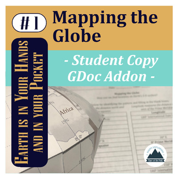
Mapping the Globe: Student Copy
This file contains an editable Google Doc for students to fill in. It will guide them through their their first step in labeling their foldable globe- with latitude and longitude that form the basis of our global coordinate system and continents.*While you can use this lesson with other classroom globes or even flat maps, you may be interested in the Student Template: Piper's Folding Globe so students can add to this globe with other Mapping the... lessons throughout the semester while keeping
Subjects:
Grades:
5th - 12th
Types:
NGSS:
HS-ESS2-1
, 5-ESS2-1
Also included in: Mapping the Globe: Bundle
Mapping Geohazards: Student Copy
This file contains an editable Google Doc for students to fill in. It will guide them through their their third step in labeling their foldable globe- with locations of volcanoes and earthquakes around the world. It will also connect them to real-time databases to compare how their mapped content compares and analyze patterns.For more detailed instructions on how to complete this step, check out Mapping Geohazards: Lesson Plan (detailed teacher directions, teacher template, answer key, and ins
Subjects:
Grades:
5th - 12th
Types:
NGSS:
HS-ESS2-1
, HS-ESS3-1
Also included in: Mapping Basics Bundle
Showing 1-9 of 9 results

