1,506 results
Geography independent works on sale
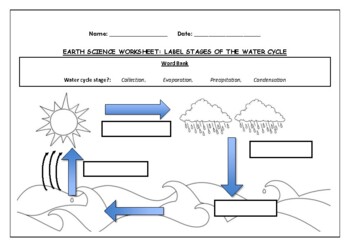
Earth Science worksheet: Label stages of the water cycle
Earth Science worksheet: Label stages of the water cycle2 VERSIONS OF WORKSHEET (Worksheet with a word bank & Worksheet with no word bank)Students have to label the stages of water cycle by looking at the diagram (Evaporation, Collection, Precipitation and Condensation)Students can color in the pictures they are doneWorksheet aimed at higher kindergarten/lower primary levelAnswer Key includedBoth PDF and Editable Word Versions included within the ZIP file
Subjects:
Grades:
K - 6th
Types:
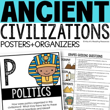
Ancient Civilizations GRAPES Posters Ancient Greece Ancient Rome Ancient China
Help your students learn and organize info about ancient civilizations with these G.R.A.P.E.S. posters, guiding questions, and graphic organizers! The GRAPES Ancient Civilizations Poster and Graphic Organizer Set is an easy acronym to organize information for the basic traits of ancient civilizations. G.R.A.P.E.S. is an acronym for:G- GeographyR- ReligionA- AchievementsP- PoliticsE- EconomicsS- Social StructureGRAPES is an effective way to learn and organize information about different civilizat
Grades:
6th - 8th
Mapping Skills with Google Earth™ Gr. 6-8
Help your middle school students move on to a more complex understanding of map reading. Our resource allows students to further develop their ability to read and understand maps. About this Resource: Practice what you've learned about coordinates by finding the matching countries on Google Earth™. Test your comprehension of a precipitation map by answering questions related to a map of North America. Explore the past with Google Earth™, and see how the population of certain places have changed
Grades:
6th - 8th
Types:
Also included in: Mapping Skills with Google Earth BIG BOOK - BUNDLE
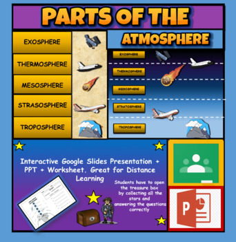
Layers Of The Atmosphere: Interactive Google Slides + PPT Version + Worksheet
Layers Of The Atmosphere: Interactive Google Slides + PPT + Worksheet (Distance Learning)Interactive presentation & quiz on Layers of the atmosphere. Please view the powerpoint previewINTERACTIVE GOOGLE SLIDES/POWER POINT PRESENTATION on layers of the atmosphere. It can be used for distance learning and google classroom or within the classroom.Once downloaded: Please view the GOOGLE SLIDES/POWERPOINT IN 'PRESENT ▶️' modeWorksheet also included in ZIP file 'Parts of the atmosphere' .These are
Subjects:
Grades:
3rd - 8th
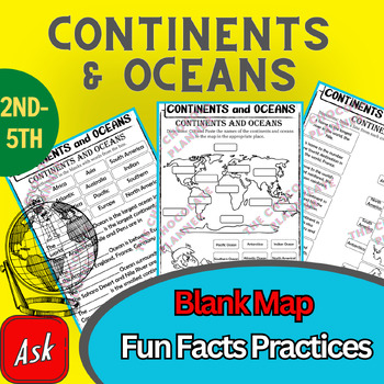
Continents And Oceans | Maps & Globes 7 Continets & Oceans | Facts Activities
Learning about continents and oceans on a map is a great way to engage students and help them remember all seven continents and major oceans in geography. This resource provides tons of practice on maps to help your kids identify the continents and oceans, as well as learn fun new information about each continent and ocean.The facts about continents and oceans are designed in different interactive formats to help your kids engage and have fun while completing them.As there are many questions reg
Subjects:
Grades:
2nd - 5th
Types:
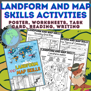
Landform & Map Skills Activity (Poster, Worksheets, Task card, Reading, Writing
Let's spice up your landform and map skills lessons and make learning super fun for your second, third, and fourth-grade students. This Landform & Map Skills Activity (Poster, Worksheets, Task card, Reading, Writing resource covers cool topics like maps, globes, continents, oceans, landforms, suburban, urban, rural areas, directions, and more!The best part? You can use these map skills and landform activities during whole group instruction, independent work, or center time. It's all about fl
Grades:
3rd - 5th
Types:
Israel-Palestine Conflict in Ten Minutes Video Worksheet
This video worksheet allows students learn about the origins and the continued conflict between Israel and Palestine. The video clip is only ten minutes long, but it is packed full of information that will keep your students engaged.This video worksheet works great as a “Do Now Activity” or as a complement to any lecture or lesson plan on current events, terrorism, or the Middle East. The worksheet helps students understand the current conflict in the Middle East. The video is great for visual l
Grades:
7th - 12th
Types:
Inglaterra, lugar de momentos increíbles | Bundle
⭐️ Inglaterra, lugar de momentos increíbles(Presentación en PowerPoint, hojas de tareas, flip book y prueba de Inglaterra)Este paquete recoge todo la información requerida por esta unidad.⭐️ ⭐️ ⭐️ Puedes ahorrar más de un 20% si compras el bundle.⭐️ Incluye:Ubicación geográficaEl gobierno de InglaterraFamilia realCapital de InglaterraSímbolos NacionalesPoblaciónIdiomaReligiónClimaFlora y faunaMúsicaAnimalesReyes de InglaterraCostumbres y tradicionesComida típicaSitios turísticosDeporte nacional
Subjects:
Grades:
3rd
BUNDLE: South America Unit Studies Resources | South America Unit Activities
Explore the continent of South America with your class with this bundle of fabulous resources! Learn about the plants, animals, countries, landmarks, landforms, and maps of this continent. Enjoy!Check out other Continent Bundles:South America Unit Study Resource BundleNorth America Unit Study Resources BundleAsia Unit Study Resource BundleEurope Unit Study Resource BundleAfrica Unit Study Resource BundleAntarctica Unit Study Resource BundleAustralia Unit Study Resources BundleYou Might Also Enjo
Subjects:
Grades:
4th - 6th
NGSS:
4-ESS2-2
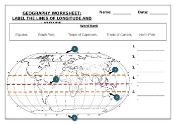
Geography worksheet: Label the lines of longitude and latitude
Geography worksheet: Label the lines of longitude and latitudeStudents have to label the lines of latitude and longitude with the correct names (Equator, South Pole, Tropic of Capricorn, Tropic of Cancer, North Pole)Worksheet aimed at primary level/ high school levelStudent can color in the world map when they are finishedAnswer key included on second page.
Subjects:
Grades:
2nd - 7th
Types:
Mapping the Dust Bowl and the Great Depression
This great mapping activity allows students to map the Dust Bowl, TVA, Hoover Dam and the 50 largest American cities in 1930. Just download the following two USA maps.Please download the modern USA map PDF athttp://bit.ly/3scOWC0 The modern USA Physical feature map PDF can be downloaded athttp://bit.ly/35qMjm8I suggest using an 11x17 piece of paper for the map but an 8x11 piece of paper will work. You can decide what USA map PDF will work best for your students.Depending on the age level of you
Grades:
4th - 12th
Types:
Las sorpresas de Panamá | Bundle
⭐️ Sorpresas de Panamá(Presentación en PowerPoint, hojas de tareas, flip book y prueba de Panamá)Este paquete recoge todo la información requerida por esta unidad.⭐️ ⭐️ ⭐️ Puedes ahorrar más de un 20% si compras el bundle.•Descubrimiento•Ubicación geográfica•Población•Idioma•Capital•Símbolos nacionales•Símbolos naturales•Religión•Clima•Gentilicios•Comida típica•Vestimenta tradicional•Costumbres y tradiciones•Deportes•Sitios turísticos•Música•Y másSígueme en: InstagramFacebookTambién sígueme en m
Subjects:
Grades:
2nd
HUGE BUNDLE: All About Animals | Set #1 | Animal Science Units | Zoology
Do you love to teach about animals? Here are some amazing resources for your animal science plans. Real photos, non-fiction articles, crafts, worksheets, and writing templates to round out your animal units. This will help you teach about physical characteristics, habitats, and behaviors of these animals. Your students will also have to opportunity to write about, watch videos about, and complete some crafts about these animals. These packages are geared towards pre-K through 2nd grade and has a
Subjects:
Grades:
PreK - 1st
Types:
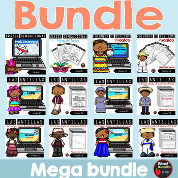
Los países de segundo grado | Bundle
⭐️ Los países de segundo grado | Bundle(Presentaciones en PowerPoint, hojas de tareas, flip books y pruebas)Este paquete recoge todo la información requerida en las siete unidades.⭐️ ⭐️ ⭐️ Puedes ahorrar más de un 20% si compras el bundle.Este recurso incluye:•La información importante sobre los siguientes países:2.1 Brasil, sensacional2.2 Colombia es realismo mágico2.3 Las Antillas lo tienen todo. ¡Experiméntalas!Cuba, Haití, Jamaica, República Dominicana y Puerto Rico2.4 Las sorpresas de Panam
Subjects:
Grades:
2nd
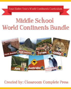
Middle School World Continents Bundle Gr. 5-8
This Middle School World Continents Bundle for grades 5-8 is your ENTIRE YEAR'S WORLD CONTINENTS CURRICULUM in one bundle. Filled with EXTENSIVE reading passages, ENGAGING activities, and FULL COLOR maps, and COMPREHENSION questions that cover your State Standards, and written to Bloom's Taxonomy. The activities in this bundle can be used for whole-group, small group, or individual work. NO PREP necessary, just print!This BUNDLE includes 420 pages and will provide you with an ENTIRE YEAR of Wor
Grades:
5th - 8th
Types:
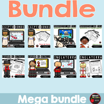
Los países de tercer grado | Bundle
⭐️ Los países de tercer grado | Bundle(Presentaciones en PowerPoint, hojas de tareas, flip books y pruebas)Este paquete recoge todo la información requerida en las siete unidades.⭐️ ⭐️ ⭐️ Puedes ahorrar más de un 20% si compras el bundle.Este recurso incluye:•La información importante sobre los siguientes países:3.1 Egipto, donde todo comienza3.2 Madagascar: una isla auténtica; un mundo aparte3.3 España al detalle3.4 Inglaterra, hogar de momentos increíbles3.5 China como nunca antes3.6 India inc
Subjects:
Grades:
3rd
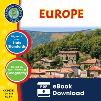
Europe Gr. 5-8
Journey to the ancient centers of culture and trade with a trip to Europe. About this Resource: Understand the variety of ecosystems that inhabit the continent with a climate map. Gain a sense of direction by identifying the European cities that are found in the western and eastern hemispheres. Do some research into the famed Thames river and find out how long it is, which countries it passes through, and into which large body of water it flows into. Learn about the accident at Chernobyl and wha
Grades:
5th - 8th
Types:
Also included in: Middle School World Continents Bundle Gr. 5-8
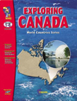
Exploring Canada Bundle! Teach Canadian History and Geography
100+ Cross-Curricular Activities & Information Cards, teach Canada's history, provinces and territories, symbols and famous places. The primary section is divided into three sections. Each section begins with a story that will enable your students to complete the worksheets for their grade level. Topics include research, creative writing, and mathematics for primary students.The junior section covers a wide range of topics such as the history and geography of Canada, Canadian government, and
Subjects:
Grades:
1st - 6th
Types:
Mapping Skills with Google Earth: Latitude, Longitude and Time Zones Gr. 3-5
This is the chapter slice "Latitude, Longitude and Time Zones" from the full lesson plan "Mapping Skills with Google Earth"About the FULL RESOURCE:Students will learn in-depth how to read and create maps with our engaging resource designed for students in grades three to five. Students will expand their knowledge of the elements on a map by exploring the lines of latitude, longitude and time zones. Then, students will learn about geographical and cultural features by exploring topographic and ch
Subjects:
Grades:
3rd - 5th
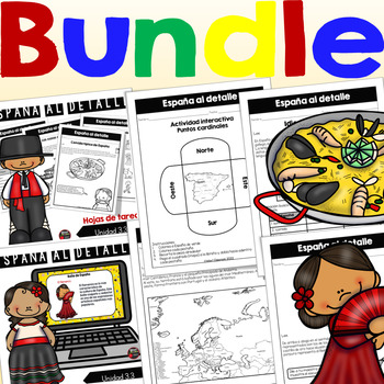
España al detalle | Bundle
⭐️ España al detalle (Presentación en PowerPoint, hojas de tareas, flip book y prueba de España)Este paquete recoge todo la información requerida por esta unidad. ⭐️ ⭐️ ⭐️ Puedes ahorrar más de un 20% si compras el bundle.⭐️ Incluye:Ubicación geográficaEventos históricos que nos unen a EspañaEl legado de España en Puerto RicoEl gobierno de EspañaCapital de EspañaSímbolos NacionalesPoblaciónProvinciasIdiomaReligiónClimaFiestas tradicionales¿Cómo son los habitantes?FaunaMúsicaAnimalesPresidenteRey
Subjects:
Grades:
3rd
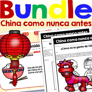
China como nunca antes | Bundle
⭐️ China como nunca antes(Presentación en PowerPoint, hojas de tareas, flip book y prueba de China)Este paquete recoge todo la información requerida por esta unidad.⭐️ ⭐️ ⭐️ Puedes ahorrar más de un 20% si compras el bundle.⭐️ Incluye:•Ubicación geográfica•El gobierno•El presidente•Los símbolos naturales•Rasgos físicos de los chinos•Cómo es su gente•Respeto a los mayores en China•El sistema educativo en China•La vestimenta tradicional en China•Población•Gentilicios•División territorial•Idioma•Ca
Subjects:
Grades:
3rd
Mapping Skills with Google Earth: How to Read a Map Gr. PK-2
This is the chapter slice "How to Read a Map" from the full lesson plan "Mapping Skills with Google Earth"About the FULL RESOURCE:Teach your students the basics of map reading with our engaging resource designed for students in grades prekindergarten to two. Start with the elements found on a map, such as symbols, legends and the compass rose. Then, have your students apply what they’ve learned by mapping their classroom and route to school. Move on to the Great Lakes of North America and the se
Subjects:
Grades:
PreK - 2nd
India increíble | Bundle
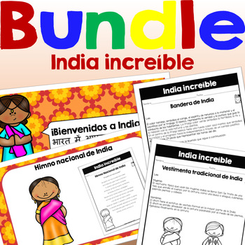
⭐️ India increíble(Presentación en PowerPoint, hojas de tareas, flip book y prueba de India)Este paquete recoge todo la información requerida por esta unidad.⭐️ ⭐️ ⭐️ Puedes ahorrar más de un 20% si compras el bundle.⭐️ Incluye:•Ubicación geográfica•El gobierno•El presidente•Los símbolos naturales•La vestimenta tradicional en India•Población•Gentilicios•División territorial•Idioma•Capital•Religiones•Clima•Símbolos naturales•Comida típica•Costumbres y tradiciones•Fiestas•Sitios turísticos•Deporte
Subjects:
Grades:
3rd
Egipto, donde todo comienza | Hojas de tareas
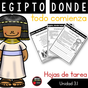
⭐️Hojas de tarea - Egipto, donde todo comienza✏️Este recurso incluye las siguientes actividades:•Cómo es la mujer•Cómo es el hombre•Vestimenta de las mujeres y hombres•Símbolos nacionales•Ubicación geográfica•Costumbres y tradiciones•Gentilicio•Idioma y religión•Flora y fauna•Comida típica•Deportes•Playas destacadas•Lugares turísticos•Antigüedades egipcias✏️Técnicas de assessmentMapa de conceptosTirilla cómicaLista focalizadaSopa de letrasDiagrama de VennCierto y falsoTraducir palabras a árabeEs
Subjects:
Grades:
3rd
Also included in: Egipto, donde todo comienza | Bundle
Showing 1-24 of 1,506 results


