852 results
Geography activities on sale
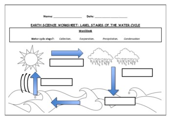
Earth Science worksheet: Label stages of the water cycle
Earth Science worksheet: Label stages of the water cycle2 VERSIONS OF WORKSHEET (Worksheet with a word bank & Worksheet with no word bank)Students have to label the stages of water cycle by looking at the diagram (Evaporation, Collection, Precipitation and Condensation)Students can color in the pictures they are doneWorksheet aimed at higher kindergarten/lower primary levelAnswer Key includedBoth PDF and Editable Word Versions included within the ZIP file
Subjects:
Grades:
K - 6th
Types:
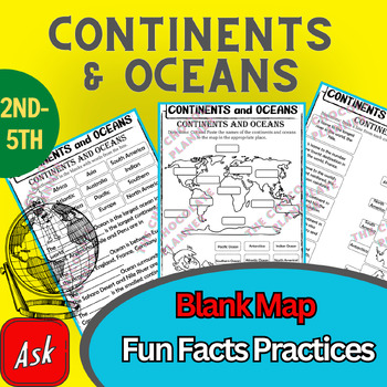
Continents And Oceans | Maps & Globes 7 Continets & Oceans | Facts Activities
Learning about continents and oceans on a map is a great way to engage students and help them remember all seven continents and major oceans in geography. This resource provides tons of practice on maps to help your kids identify the continents and oceans, as well as learn fun new information about each continent and ocean.The facts about continents and oceans are designed in different interactive formats to help your kids engage and have fun while completing them.As there are many questions reg
Subjects:
Grades:
2nd - 5th
Types:
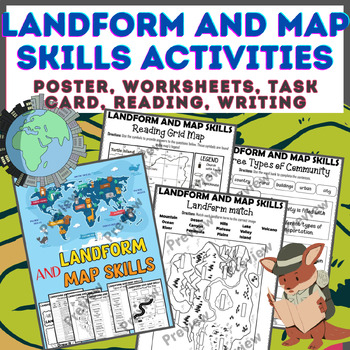
Landform & Map Skills Activity (Poster, Worksheets, Task card, Reading, Writing
Let's spice up your landform and map skills lessons and make learning super fun for your second, third, and fourth-grade students. This Landform & Map Skills Activity (Poster, Worksheets, Task card, Reading, Writing resource covers cool topics like maps, globes, continents, oceans, landforms, suburban, urban, rural areas, directions, and more!The best part? You can use these map skills and landform activities during whole group instruction, independent work, or center time. It's all about fl
Grades:
3rd - 5th
Types:
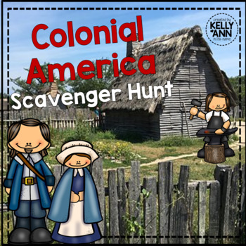
Colonial America Activity for 13 Colonies; 13 Colonies Activities
13 Colonies {New England, Middle, Southern} Scavenger Hunt Activity: A content-rich and fun way to engage students and introduce your unit! ♥You have to see the preview! OVER 600 sold and LOVED!♥This is part of my Colonies BUNDLE {3 Activities!} Let intermediate-middle grade students get up and MOVE while you introduce them to Colonial America!! In this activity, they will complete a scavenger hunt to find important information about the 13 original colonies, the New England, Middle, and Souther
Grades:
4th - 7th
Types:
Also included in: 13 Colonies Activity BUNDLE for Colonial America
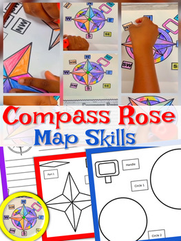
Compass Rose | Craft and Writing | Compass Rose Craft | Map Skills
With this activity, students get to create their own Compass Rose! Students will cut and paste the cardinal directions and intermediate directions. The map skills include north, south, east, west, north east, south west, south west, north west. Students use a compass rose to help describe locations of places on a world map. I use this activity with my 2nd graders each year when teaching map skills.Included: Compass Rose Craft (Easy to assemble)Compass Rose Writing PaperSimilar Resources: Map Ski
Subjects:
Grades:
PreK - 5th
Types:
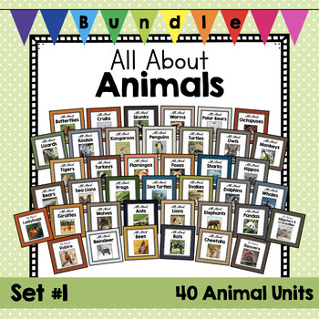
HUGE BUNDLE: All About Animals | Set #1 | Animal Science Units | Zoology
Do you love to teach about animals? Here are some amazing resources for your animal science plans. Real photos, non-fiction articles, crafts, worksheets, and writing templates to round out your animal units. This will help you teach about physical characteristics, habitats, and behaviors of these animals. Your students will also have to opportunity to write about, watch videos about, and complete some crafts about these animals. These packages are geared towards pre-K through 2nd grade and has a
Subjects:
Grades:
PreK - 1st
Types:
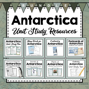
BUNDLE: Antarctica Unit Study Resources | Antarctica Unit Activities
Love learning about Antarctica? These resources will round out your Antarctica Unit Study. Using map work, non-fiction articles about explorers and penguins, persuasive writing templates, plants and animals that live in Antarctica, postcards from notable landmarks and landforms, and a brochure that outlines some important facts about Antarctica. This set is just bulging with helpful, informative resources for a unit study on Antarctica. Don't worry- All these resources have both metric and imper
Subjects:
Grades:
3rd - 5th
Types:
NGSS:
4-ESS2-2
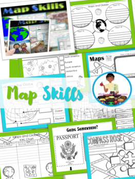
Map Skills Unit | Maps and Globes Activities | Types of Maps
Maps and Globes: If you are studying maps and globes, or maybe you just need a review, then these activities will fit right into your lessons.These activities can be implemented in whole group during a map skills study. Answer Key : IncludedSocial Studies Standards: SS.1.G.1.2; SS.1.G.1.4; SS.1.G.1.5; SS.1.G.1.6-Map & Globe Fact Web-Map & globe overview-What is a map? What is a globe?-Maps & Globes Reading Comprehension-Maps and Globes KWL-Labeling the globe (Cut & Paste)-Maps &a
Subjects:
Grades:
K - 2nd
Types:
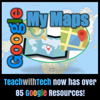
Google My Maps Tutorial Activity
With My Maps, you can:• Create a map• Draw lines, shapes, or placemarks on the map• Import data including addresses and place names• Organize your map with layers to hide or show different kinds of content• Style your content with different colors, placemark icons, and line widthsThis lesson includes screen shots and instruction bubbles to show teachers and students how to use Google My Maps. This resource also contains an activity where students will be able to practice using My Maps to plot lo
Subjects:
Grades:
5th - 10th
Types:
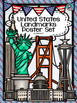
United States Landmarks Facts & Poster Set
If you are looking to improve your students skills in Geography here is the resource you need. I had so much fun researching these Landmarks and sparkle my skills also with the new facts on the most famous landmarks of the United States. Lots of information, but cool things you can use in class. Here is a set of Posters with their Fact Sheet. You can print it on card stock with double sided with the facts or separated to create your own activities for your students. The will have fun with ge
Grades:
PreK - 12th, Higher Education, Adult Education, Staff
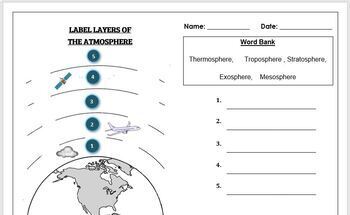
Earth Science Worksheet: Label the layers of the Atmosphere
Earth Science Worksheet: Label the layers of the atmosphereStudents have to label the layers of the atmosphere by looking at the numbers Students can color in the worksheet once they are doneWorksheet aimed at primary level/ high school levelAnswer key included on page 2
Subjects:
Grades:
K - 8th
Types:
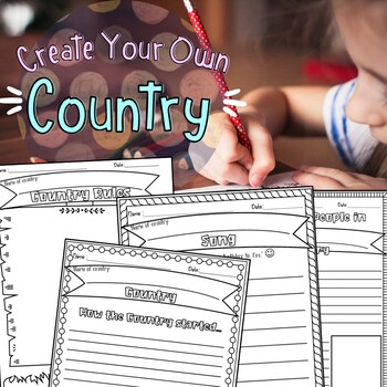
Create Your Own Country Project
Create Your Own Country Project is an exciting, fun, and creative way to get the kiddos involved in art, geography, writing, and story telling at the same time. This project can be used for young children to write, color, and imagine or for older children to be as detailed and creative as they would like. Perfect activity that can be turned into a short one day thing or an elaborate week long project which allows you to adjust. I've included a rubric which will grade the student's presentation.
Subjects:
Grades:
2nd - 3rd
Types:
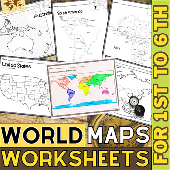
World Map with Countries | Continents and Oceans Blank Map | 1st to 12th Grade
These printable maps will be useful whether you are studying geography, world history, countries around the world, or you are just trying to show your kids the route you are taking on your next vacation! For kids learning about states, we've included a printable map of the world, as well as maps of North and South America, Europe, Asia, Australia, Africa, and Antarctica. Furthermore, the world map printable set comprises labeled and blank options for printing. To print the printable map PDF file
Grades:
K - 12th
Types:
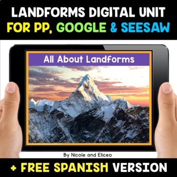
Landform Digital Activities for Google and Seesaw + FREE Spanish
Engage your students with these interactive landform activities. This digital landform unit includes 12 illustrated vocabulary terms with kid-friendly definitions, 4 informational nonfiction texts and a variety of interactive activities. It is available in PowerPoint, Google Slides and in Seesaw. It has been preloaded into Google Drive for teachers who use Google Apps or Google Classroom. It has also been preloaded into Seesaw as an interactive activity. You can use it on any device with these s
Subjects:
Grades:
K - 2nd
Also included in: Social Studies Activities for Google and Seesaw Bundle + FREE Spanish
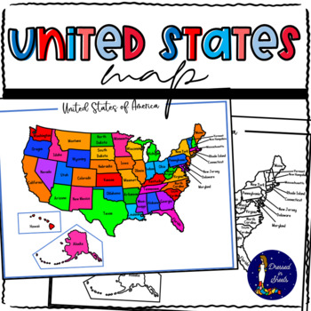
Learning and Memorizing the United States of America
Learning and Memorizing the United States of AmericaThis bundle will have everything you need to introduce the 50 states of America to students. They will be able to name each state, locate it on a map, know its abbreviation, its capital, and know what their flag looks like. This BUNDLE can also be used to make research projects regarding each individual state allowing the students to go further in knowledge regarding state flower, bird, and major industries.Check each one out and see how your s
Subjects:
Grades:
2nd - 8th
Types:
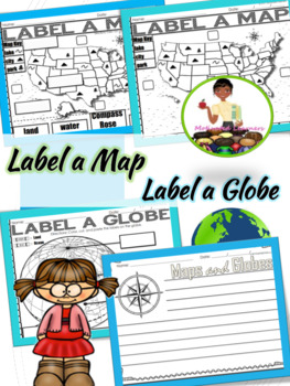
Label A Map | Parts of a Map | Map Skills
Geography for kids Quick and simple way to assess what students know about maps and globes. Includes:Label a map (cut and paste)Label a globe (cut and paste optional)Writing ComponentSimilar Resources:Map Skills: Maps and Globes Map Activities Geography, Oceans, ContinentsCompass Rose CraftMe on the Map (Tab Booklet)Social Studies Assessments 1-2 GradeLet's Stay Connected:Facebook:Motivated LearnersPinterest:Motivated Learnersmaps/globe/label/social studiesCustomer Tips: How to get TPT credit t
Subjects:
Grades:
K - 3rd
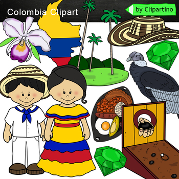
Colombia Clip Art /Symbols of Colombia Clip Art commercial use
Colombia Clipart 10 color PNG&JPG+10 black white PNG&JPGSize one image about 8 inch by 4 inchFor personal and commercial use.You'll like it!All countries of the worldDownload the archive with the license and logo by the linkhttps://www.teacherspayteachers.com/Product/License-Credit-logo-by-Clipartino-3785741Keywords: clipart, sale, bundle, bw, coloring, outline, countries, symbols, America, Latin America clip art, latin map, geography, around the world, Colombia
Grades:
Not Grade Specific
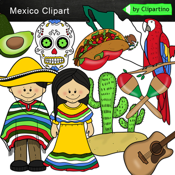
Mexico Clip Art /Mexico symbols Clip Art mini Bundle
Mexico Clipart 10 color PNG&JPG+10 black white PNG&JPGSize one image about 8 inch by 4 inchFor personal and commercial use.You'll like it!All countries of the worldDownload the archive with the license and logo by the linkhttps://www.teacherspayteachers.com/Product/License-Credit-logo-by-Clipartino-3785741Keywords: clipart, sale, bundle, bw, coloring, outline, countries, symbols, America, Latin America clip art, latin map, geography, around the world, Mexico
Grades:
Not Grade Specific
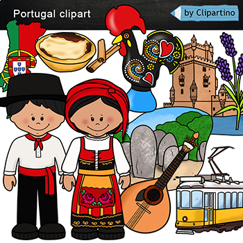
Portugal Clip art
Portugal Clip art 10 color PNG & JPG+10 black white (outline) PNG & JPGSize one image about 8 inch by 4 inchFor personal and commercial use.You'll like it!All countries of the worldDownload the archive with the license and logo by the linkhttps://www.teacherspayteachers.com/Product/License-Credit-logo-by-Clipartino-3785741Keywords: Europe, Asia, clipart, clip art, sale, bundle, bw, coloring, outline, countries, symbols, map, geography, around the world, landmark, animals, national dress
Grades:
Not Grade Specific
Also included in: Countries Clip Art Bundle- PART 9 /Portugal /Israel /Norway /Vietnam
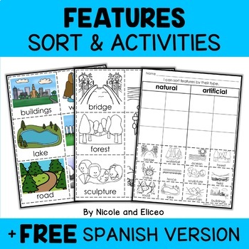
Physical Features Sort Activities + FREE Spanish
Boost engagement with this fun, interactive resource about physical and man-made features. It includes vocabulary cards, individual and group sorting activities, graphic organizers, a coloring sheet, a word building activity, a drawing sheet and more! It works great for boosting academic vocabulary while learning and reviewing the content. This resource was created by Nikki and Nacho - previously known as Nicole and Eliceo.TEACHER-FRlENDLY FEATURESThis resource has been teacher-tested and approv
Subjects:
Grades:
PreK - 1st
Types:
Also included in: Social Studies Sort Activities Bundle + FREE Spanish
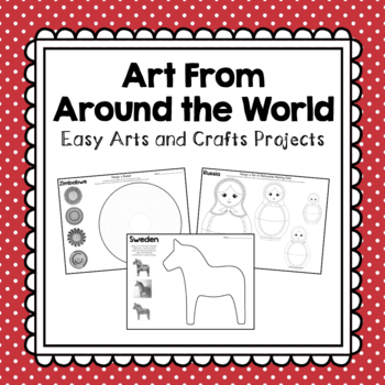
Arts and Crafts From Around the World
Add some fun and creativity to your classroom by exploring the world through art! Each projects pulls from the culture, history, holidays, or traditions of each country. Projects included are from the following countries: Uganda, South Africa, Zimbabwe, Egypt, Ethiopia, Antarctica, India, China, Israel, Japan, Russia, Australia, New Zealand, United Kingdom, Italy, France, Greece, Sweden, Panama, Costa Rica, Canada, Mexico, The United States, Brazil, Venezuela, Argentina, Chile, and Peru.Enjoy!Ch
Grades:
K - 3rd
Types:
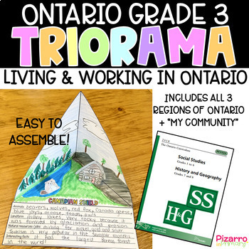
Living and Working in Ontario Project | Grade 3 Ontario Social Studies Project
Are you looking for a fun and engaging culminating task for the Social Studies unit of Living and Working in Ontario? This "triorama" will bring out the creativity in all of your students. Choose from four templates and print a copy for each of your students. Fold, cut, glue and voila - you have a triangle diorama - a TRIorama! Students love making "pop-up" props to add to each landform region. What's included:4 different triorama templates of each land form region (Hudson Bay Lowlands, Candian
Grades:
2nd - 4th
Types:
Grade 3 Social Studies - Living and Working in Ontario
Living and Working in Ontario This thorough and detailed package includes everything a Grade 3 teacher needs when teaching the Living and Working in Ontario unit. This package focuses on the three landform regions of Ontario: Great Lakes - St. Lawrence Lowlands, Canadian Shield and Hudson Bay Lowlands. This package is well priced and your students will love the activities included (as mine always do). Enjoy :) Includes:Detailed ReadingsReading Comprehension QuestionsPrintable WorksheetsAssessmen
Grades:
3rd, Staff
Types:
Also included in: Grade 3 Social Studies Bundle
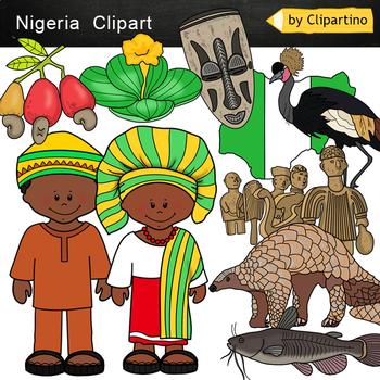
Nigeria Clip Art
Nigeria Clipart 10 color PNG&JPG+10 black white (outline) PNG&JPGSize one image about 8 inch by 4 inchFor personal and commercial use.You'll like it!All countries of the worldDownload the archive with the license and logo by the linkhttps://www.teacherspayteachers.com/Product/License-Credit-logo-by-Clipartino-3785741Keywords: Africa, clipart, sale, bundle, bw, coloring, outline, countries, symbols, Africa clip art, map, geography, around the world, landmark, african animals, safary, dese
Grades:
Not Grade Specific
Also included in: Africa #1 Countries Clip Art Bundle - PART 5
Showing 1-24 of 852 results


