939 results
Geography printables on sale
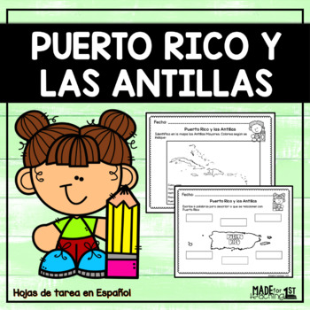
Puerto Rico y las Antillas - Spanish Worksheets
PUERTO RICO Y LAS ANTILLAS | Spanish WorksheetsEste recurso ha sido creado para trabajar el tema de Puerto Rico y las Antillas. Se incluyen hijas de tarea sobre:1. Hoja con palabras de vocabulario su definición. 2. Tarea para localizar a Puerto Rico en el mapa del mundo.3. Torbellino de ideas sobre Puerto Rico.4. Identificar en el mapa las Antillas Mayores.5. Escribir las Antillas Mayores.6. Identificar en el mapa de PR los puntos cardinales.7. Parea palabra con definición. 8. Completa las oraci
Subjects:
Grades:
PreK - 3rd
Types:
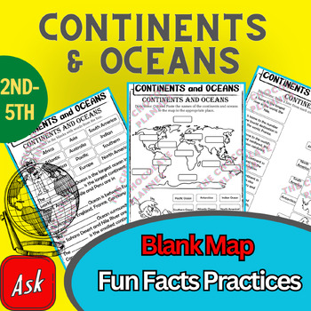
Continents And Oceans | Maps & Globes 7 Continets & Oceans | Facts Activities
Learning about continents and oceans on a map is a great way to engage students and help them remember all seven continents and major oceans in geography. This resource provides tons of practice on maps to help your kids identify the continents and oceans, as well as learn fun new information about each continent and ocean.The facts about continents and oceans are designed in different interactive formats to help your kids engage and have fun while completing them.As there are many questions reg
Subjects:
Grades:
2nd - 5th
Types:
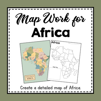
Africa Unit Study | Africa Map Work | Hands On Map Creation Activity
These map work activities and worksheets will help you teach about countries, land features, and how to make and use a map of Africa. Help your students create a beautifully detailed map to keep. Help them memorize and identify some of the African countries and landmarks.What You Get:Political Map of AfricaHalf-sheet Quick Facts about AfricaTeach Discussion Guide to use with Quick Facts About AfricaLabel Countries in Africa worksheet and Answer KeyBlank Map of African Continent Template1 page ma
Subjects:
Grades:
3rd - 5th
CCSS:
NGSS:
4-ESS2-2
Also included in: Continent Unit Studies From Around the World
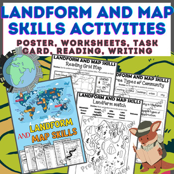
Landform & Map Skills Activity (Poster, Worksheets, Task card, Reading, Writing
Let's spice up your landform and map skills lessons and make learning super fun for your second, third, and fourth-grade students. This Landform & Map Skills Activity (Poster, Worksheets, Task card, Reading, Writing resource covers cool topics like maps, globes, continents, oceans, landforms, suburban, urban, rural areas, directions, and more!The best part? You can use these map skills and landform activities during whole group instruction, independent work, or center time. It's all about fl
Grades:
3rd - 5th
Types:
Colonial America Activity for 13 Colonies; 13 Colonies Activities
13 Colonies {New England, Middle, Southern} Scavenger Hunt Activity: A content-rich and fun way to engage students and introduce your unit! ♥You have to see the preview! OVER 600 sold and LOVED!♥This is part of my Colonies BUNDLE {3 Activities!} Let intermediate-middle grade students get up and MOVE while you introduce them to Colonial America!! In this activity, they will complete a scavenger hunt to find important information about the 13 original colonies, the New England, Middle, and Souther
Grades:
4th - 7th
Types:
Also included in: 13 Colonies Activity BUNDLE for Colonial America
Map Skills - Performance Tasks
Maps performance tasks! Here are two performance tasks that I created and used with my first grade students when we completed our unit. We actually did a practice run creating a map of our classroom early in the unit so they had experience doing something very similar to this. Updated with new BW graphics and fonts. Students get to name their own farm and playground to create the maps. They really did a great job with these and most were easily able to show Proficiency. For each map, I gave t
Subjects:
Grades:
1st - 2nd
Types:
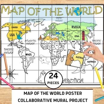
World Map Collaborative Poster Mural Project - Geography Unit , Classroom Decor
⭐️⭐️World Map Mural Collaborative Project Poster⭐️⭐️Transform your classroom with the Collaborative World Map Mural, a captivating and educational poster set. Consisting of 24 6x7 inch square pieces, students can contribute to this engaging bulletin board project. The mural promotes teamwork, critical thinking, and geographical awareness as students research and add drawings, facts, and experiences to represent different regions, countries, and landmarks. This visually stunning display fosters a
Grades:
1st - 4th
Also included in: 21 Collaboration Posters Mural Project - Classroom Decor ,Craft, BUNDLE
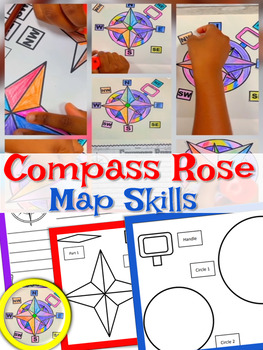
Compass Rose | Craft and Writing | Compass Rose Craft | Map Skills
With this activity, students get to create their own Compass Rose! Students will cut and paste the cardinal directions and intermediate directions. The map skills include north, south, east, west, north east, south west, south west, north west. Students use a compass rose to help describe locations of places on a world map. I use this activity with my 2nd graders each year when teaching map skills.Included: Compass Rose Craft (Easy to assemble)Compass Rose Writing PaperSimilar Resources: Map Ski
Subjects:
Grades:
PreK - 5th
Types:
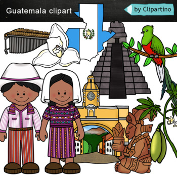
Guatemala clip art Commercial use
Guatemala clipart 10 color PNG&JPG+10 black white (outline) PNG&JPGSize one image about 8 inch by 4 inchFor personal and commercial use.You'll like it!All countries of the worldDownload the archive with the license and logo by the linkhttps://www.teacherspayteachers.com/Product/License-Credit-logo-by-Clipartino-3785741Keywords: spanish colonies, spanish colonization, clipart, sale, bundle, bw, coloring, outline, countries, symbols, map, geography, around the world, landmark, animals, nat
Subjects:
Grades:
Not Grade Specific
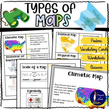
Types of Maps Worksheets with BOOM Cards | Distance Learning
This resource covers six kind of maps:Political mapsPhysical mapsTopographic mapsClimatic mapsEconomic / Resource mapsRoad mapsNot only does it explain to students what each map means but also explains what scales and map symbols are used for.There is a quiz, cut and paste activities, fill in the blanks, map symbols activity, make your own map and key project, draw that map activity, and more!There is plenty of projects to create if you let your creativity come afloat!For example poster projects
Grades:
3rd - 6th
Types:
CCSS:
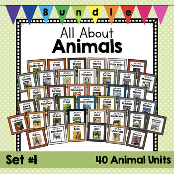
HUGE BUNDLE: All About Animals | Set #1 | Animal Science Units | Zoology
Do you love to teach about animals? Here are some amazing resources for your animal science plans. Real photos, non-fiction articles, crafts, worksheets, and writing templates to round out your animal units. This will help you teach about physical characteristics, habitats, and behaviors of these animals. Your students will also have to opportunity to write about, watch videos about, and complete some crafts about these animals. These packages are geared towards pre-K through 2nd grade and has a
Subjects:
Grades:
PreK - 1st
Types:
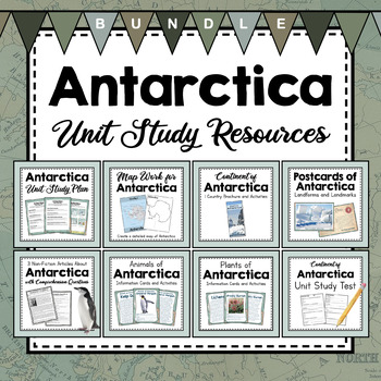
BUNDLE: Antarctica Unit Study Resources | Antarctica Unit Activities
Love learning about Antarctica? These resources will round out your Antarctica Unit Study. Using map work, non-fiction articles about explorers and penguins, persuasive writing templates, plants and animals that live in Antarctica, postcards from notable landmarks and landforms, and a brochure that outlines some important facts about Antarctica. This set is just bulging with helpful, informative resources for a unit study on Antarctica. Don't worry- All these resources have both metric and imper
Subjects:
Grades:
3rd - 5th
Types:
NGSS:
4-ESS2-2
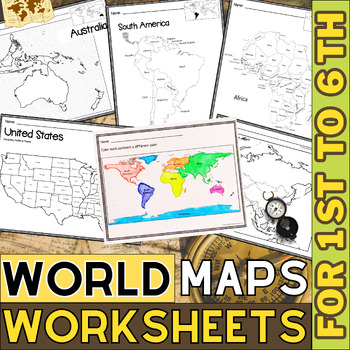
World Map with Countries | Continents and Oceans Blank Map | 1st to 12th Grade
These printable maps will be useful whether you are studying geography, world history, countries around the world, or you are just trying to show your kids the route you are taking on your next vacation! For kids learning about states, we've included a printable map of the world, as well as maps of North and South America, Europe, Asia, Australia, Africa, and Antarctica. Furthermore, the world map printable set comprises labeled and blank options for printing. To print the printable map PDF file
Grades:
K - 12th
Types:
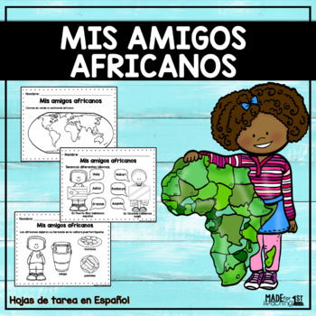
Mis amigos africanos | Spanish Worksheets
Mis amigos africanos | Spanish WorksheetsEste recurso en PDF ha sido creado para trabajar la unidad 1.1 "Mis amigos africanos" del curso Adquisición a la Lengua del Departamento de Educación de Puerto Rico.El mismo incluye hoja de tareas ideales para trabajar el tema de África y la herencia africana en Puerto Rico.¿Qué incluye?Tarea colorear Aa de ÁfricaDatos sobre ÁfricaColorear continente africanoMapas para colorear o rellenar Localizar puntos cardinalesDiferencias entre Puerto Rico y ÁfricaAn
Subjects:
Grades:
1st - 3rd
Types:
Also included in: Mis amigos africanos | Spanish Bundle
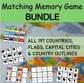
MATCHING GAME BUNDLE: The flags, capital cities and countries of the WORLD
Matching Memory Game BUNDLE: 197 Flags, Capital Cities and Country Outlines.Have fun learning about the world's 197 countries with this all-inclusive memory game BUNDLE. In this activity, students will match up the names of all the world's countries with their respective flags, capital cities and/or country outlines.This 6-in-1 printable MATCHING GAME is a FUN way for students of all ages to learn about the all countries of the world from 6 different continents. The memory game works well for bo
Subjects:
Grades:
2nd - 5th
Types:
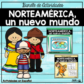
Norteamérica | Bundle de Actividades
Norteamérica, un nuevo mundo| Bundle de ActividadesEste bundle incluye una presentación en PowerPoint y las hojas de tarea para trabajar el tema "Norteamérica, un nuevo mundo" de la unidad 1.7 de la clase de Adquisición de la Lengua para primer grado del Departamento de Educación de Puerto Rico.Este recurso ha sido creado para trabajar solamente la parte de Norteamérica, basado en la tabla sugerida por continentes del Departamento de Educación de PR. No incluye actividades o temas de lectoescrit
Subjects:
Grades:
1st - 3rd
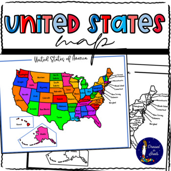
Learning and Memorizing the United States of America
Learning and Memorizing the United States of AmericaThis bundle will have everything you need to introduce the 50 states of America to students. They will be able to name each state, locate it on a map, know its abbreviation, its capital, and know what their flag looks like. This BUNDLE can also be used to make research projects regarding each individual state allowing the students to go further in knowledge regarding state flower, bird, and major industries.Check each one out and see how your s
Subjects:
Grades:
2nd - 8th
Types:
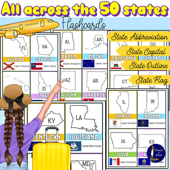
All Across the 50 States Flashcards with Capitals and Abbreviations
All Across the 50 States Flashcards with Capitals and AbbreviationsFun and informative flashcards for ALL 50 states. Each flashcard includes:Name of the stateOutline of stateState abbreviationState capitalState flagStudents will feel their practice more engaging and fun with these flashcards as they try to memorize and review state capitals, abbreviations, and flags.With the use of the index finger students can cover the name of each state capital as they quiz their peers on each state capital.A
Grades:
2nd - 11th
Types:
Winter Activities
Winter Activities - Map SkillsHere are 2 performance tasks that I created and used with my first grade students this year when we completed our Map Skills Unit. We actually did a practice run creating a map of our classroom early in the unit so they had experience doing something very similar to this.Students get to name their own Winterland and Holiday Town to create the maps. They really did a great job with these and most were easily able to show Proficiency. For each map, I gave the optio
Subjects:
Grades:
1st - 3rd
Types:
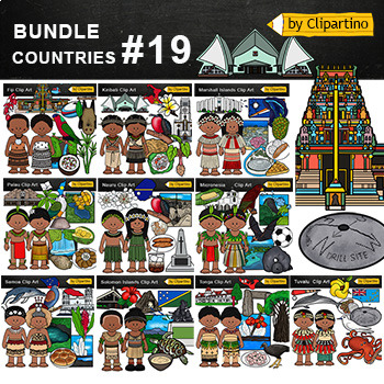
Oceania/ Polynesia/ Micronesia/ Pacific Island Countries Clip Art Bundle - 19
Oceania Polynesia Micronesia Island Countries Clipart Bundle - PART 19Tonga * Fiji * Kiribati * Marshall islands * Micronesia * Nauru * Palau * Samoa * Solomon islands * TuvaluYou'll like it!All countries of the worldSize one image about 8 inch by 4 inchFor personal and commercial use. Download the archive with the license and logo by the linkhttps://www.teacherspayteachers.com/Product/License-Credit-logo-by-Clipartino-3785741 .MY E-MAIL clipartino@gmail.comKeywords: clipart, sale, bundle, bw, c
Grades:
Not Grade Specific
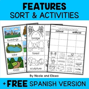
Physical Features Sort Activities + FREE Spanish
Boost engagement with this fun, interactive resource about physical and man-made features. It includes vocabulary cards, individual and group sorting activities, graphic organizers, a coloring sheet, a word building activity, a drawing sheet and more! It works great for boosting academic vocabulary while learning and reviewing the content. This resource was created by Nikki and Nacho - previously known as Nicole and Eliceo.TEACHER-FRlENDLY FEATURESThis resource has been teacher-tested and approv
Subjects:
Grades:
PreK - 1st
Types:
Also included in: Social Studies Sort Activities Bundle + FREE Spanish
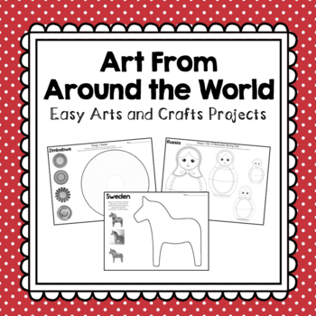
Arts and Crafts From Around the World
Add some fun and creativity to your classroom by exploring the world through art! Each projects pulls from the culture, history, holidays, or traditions of each country. Projects included are from the following countries: Uganda, South Africa, Zimbabwe, Egypt, Ethiopia, Antarctica, India, China, Israel, Japan, Russia, Australia, New Zealand, United Kingdom, Italy, France, Greece, Sweden, Panama, Costa Rica, Canada, Mexico, The United States, Brazil, Venezuela, Argentina, Chile, and Peru.Enjoy!Ch
Grades:
K - 3rd
Types:
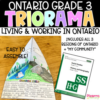
Living and Working in Ontario Project | Grade 3 Ontario Social Studies Project
Are you looking for a fun and engaging culminating task for the Social Studies unit of Living and Working in Ontario? This "triorama" will bring out the creativity in all of your students. Choose from four templates and print a copy for each of your students. Fold, cut, glue and voila - you have a triangle diorama - a TRIorama! Students love making "pop-up" props to add to each landform region. What's included:4 different triorama templates of each land form region (Hudson Bay Lowlands, Candian
Grades:
2nd - 4th
Types:
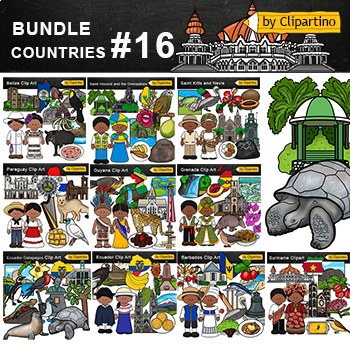
Latin America Countries Clip Art Bundle Commercial use- PART 16
Latin America Countries Clip Art Bundle - PART 16;Barbados * Belize * Ecuador* Galapagos* Grenada * Guyana* Paraguay* Saint Kitts and Nevis * Saint Vincent and the Grenadines * Suriname.Size one image about 8 inch by 4 inchFor personal and commercial use. Download the archive with the license and logo by the linkhttps://www.teacherspayteachers.com/Product/License-Credit-logo-by-Clipartino-3785741 .You'll like it!All countries of the worldFor all inquiries my mail clipartino@gmail.comKeywor
Grades:
Not Grade Specific
Showing 1-24 of 939 results

