1,621 results
7th grade geography graphic organizers under $5
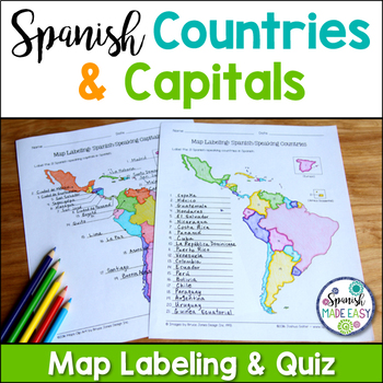
Spanish-Speaking Countries and Capitals Maps and Quiz
This is a map labeling activity and matching quiz over the 21 Spanish-speaking countries and capitals. Students will label and identify the 21 Spanish-speaking countries and capitals in Spanish. This is a great activity when reviewing Spanish-speaking countries and capitals or Spanish geography. Makes a great coloring page. Answer keys are included.
Countries included:
España, México, Costa Rica, El Salvador, Guatemala, Honduras, Nicaragua, Panamá, Cuba, La República Dominicana, Puerto Rico, Ar
Subjects:
Grades:
6th - 12th
Also included in: Spanish Countries and Capitals Geography Bundle
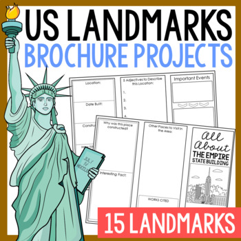
USA LANDMARKS Research Projects | United States Geography Report Activity
This bundle of (15) two-sided tri-fold research brochure templates allows students to dig deeper into facts about famous landmarks in the United States. You'll also find a BLANK template to use with ANY landmark that is not included with this resource. Makes a great addition to your American history and geography unit studies throughout the year. Keep these in your early finisher folder or your sub-folder for no-prep fun.CLICK HERE to save 30% on this resource in the American Landmarks activity
Subjects:
Grades:
3rd - 7th
13 Colonies Regions New England, Middle, & Southern Colony Regions
In this 13 Colonies and Colony Regions activity, students compare the New England, Middle and Southern Colony Regions. Students read the included student-friendly article (either in a group, individually, or as a class), then fill in the details on the included graphic organizer. This serves as a great intro to the 13 Colonies, or as a great way to learn the varying characteristics of the New England, Middle, or Southern colony regions.This resource includes a paper in-class version and a 1:1
Grades:
5th - 8th
Types:
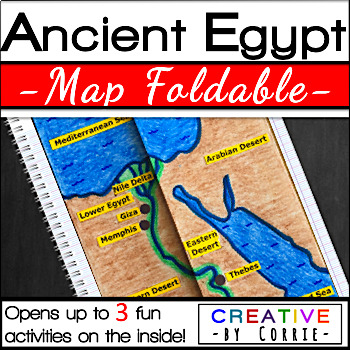
Ancient Egypt Map Foldable for Interactive Notebooks
Spice up your Ancient Egypt geography lesson with this fun map foldable activity! This foldable folds on two lines so that the sides meet in the middle to form a map of Ancient Egypt. The foldable then opens up to 3 activities which will sharpen your students’ knowledge about the geography of Ancient Egypt. The activities on the inside are focused on three topics:Natural barriers that protected Ancient EgyptWays the people of Ancient Egypt used the Nile RiverFacts about the Nile River What’s i
Subjects:
Grades:
3rd - 9th
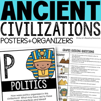
Ancient Civilizations GRAPES Posters Ancient Greece Ancient Rome Ancient China
Help your students learn and organize info about ancient civilizations with these G.R.A.P.E.S. posters, guiding questions, and graphic organizers! The GRAPES Ancient Civilizations Poster and Graphic Organizer Set is an easy acronym to organize information for the basic traits of ancient civilizations. G.R.A.P.E.S. is an acronym for:G- GeographyR- ReligionA- AchievementsP- PoliticsE- EconomicsS- Social StructureGRAPES is an effective way to learn and organize information about different civilizat
Grades:
6th - 8th
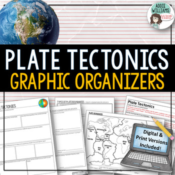
Plate Tectonics / Boundaries Graphic Organizers - PRINT & DIGITAL
Teaching about plate boundaries and plate tectonics? -These graphic organizers are a great way for students to review different plate boundaries, learn about the Theory of Plate tectonics and organize their notes /ideas. Excellent for review or for group work. Includes 3 graphic organizers to mix and match, a Review/Challenge Activity Summary Activity, Mapping Worksheet, and Extension / Lesson Ideas. Includes answer keys for the graphic organizers.This resource also includes a link to a digita
Subjects:
Grades:
7th - 10th, Adult Education
Types:
Also included in: Plate Tectonics / Earthquakes / Volcanoes Organizers | PRINT & DIGITAL
5 Themes of Geography Google Slides and Note Taking Guide
The 5 Themes of Geography Google Slides lesson is a great way to introduce students to the Five Themes of Geography: Location, Region, Human Interaction with the Environment, Movement and Place. The Google Slides purchase also comes with a student note taking guide/graphic organizer (for print and digital learning) There is also a completed note-taking guide for teachers to use as a key, or to provide for their EL or IEP students. The following topics are covered:Why the 5 themes are importantH
Grades:
7th - 10th
Types:
Analyzing and Comparing Different Types of Maps
Different Types of Maps The main goal of this lesson is for students to identify, analyze, and make connections between different types of mapsAlthough not necessary, having computers or Ipads available for students will allow them better view each map in full color. If this is not possible, the maps can still be projected onto a screen. A Powerpoint with each map is provided for this17 Slide PowerPoint comes with:Do NowInformational ChartClass NotesAssessment QuestionsActivity InstructionsConc
Grades:
5th - 10th
Also included in: Geography Unit Bundle
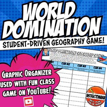
World Domination! Middle School US & World Physical Geography Worksheet Game
This fun, completely student-driven world physical geography game is no-prep and can be played in every history unit! This geography worksheet is for the United States (US) History, World History, and Ancient History physical geography games via Instructomanias YouTube channel posted at:View video playlist!Just copy and paste the link above to find completely student-driven physical geography games for the following regions:⭐1. The United States⭐2. World Continents and Oceans⭐3. Japan⭐4. China⭐5
Grades:
4th - 9th
Types:
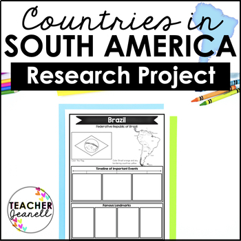
Country Research Project Posters - South America
The South America Research Project is the perfect tool for teachers looking for an engaging way to help their students learn about countries and territories in South America. With this unique project, teachers can allow students to explore a South American country or territory of their choice in-depth, gaining a greater understanding and appreciation of its geography, population, government type, current leaders, currency, and much more.The research process has been simplified with comprehensive
Grades:
3rd - 8th

Mulan Movie Guide Questions with KEY
Allow your students to watch Disney's Mulan while experiencing culture and answering meaningful questions that all pertain to accurate cultural depictions. Through these questions, students are engaged in retaining factual information as well as opinion and critical thinking based questions. Students will be asked questions on topics such as: The nomadic group of conquers in the movie--the Huns (or Mongols) The Great Wall of ChinaConfucianism & filial piety (respect and honor to parents and
Subjects:
Grades:
5th - 11th
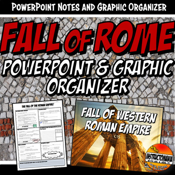
Fall of Rome PowerPoint and Graphic Organizer Bundle
This bundle includes a graphic organizer and 15-slide PowerPoint for the reasons of the Fall of The Roman Empire. The PowerPoint and Graphic Organizer discuss the fall of the Roman Empire, including 10 possible reasons with interesting facts on each slide. This presentation has fantastic graphics with maps of the empire, the split and the barbarian invasions. It also includes a great gladiator YouTube link.➖➖➖➖➖➖➖➖➖➖➖➖➖➖➖➖➖➖➖➖➖➖➖➖➖➖➖➖➖➖➖ ⭐ BE SURE TO FOLLOW US ON:TPT to receive notifications of
Subjects:
Grades:
5th - 9th
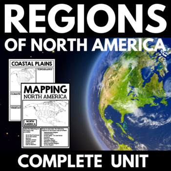
Regions of North America - Canadian History Research Project - Canada Geography
This Regions of North America unit is perfect for your upcoming geography or social studies unit. Have students practice mapping skills while completing a research project on the regions of North America. Includes a North America mapping activity, salt dough map project, and regions of North America research project.This package contains the following:Geography and Regions of North America Mapping Assignment: Students label the included map with the states, provinces, bodies of water, and regi
Grades:
4th - 8th
Southern Africa Google Slides World Geography Lesson
Updated:May 2023Google Slides35 Slides: Fully EditableSOUTHERN Africa Geography Google Slides lesson is a great way to teach students about the physical geography, economy, culture, standard of living, and more of the following SOUTHERN African countries: Angola, Zambia, Malawi, Mozambique, Namibia, Botswana, Zimbabwe, South Africa, Lesotho, EswatiniNote Taking GuideThe Google Slides purchase also includes EDITABLE student note-taking guide/graphic organizers (for print and digital notetaking).
Grades:
7th - 10th
Also included in: Sub-Saharan Africa Unit Bundle
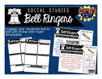
Bell Ringers for Social Studies
Engage your students bell to bell with these bell ringer templates specifically designed for your secondary social studies classroom!
Why use bell ringers?
• They provide a consistent routine as students
enter the classroom.
• They engage students in content from bell to bell.
• They allow students think time and opportunities to apply
new vocabulary and social studies skills.
• Non-Academic questions help build relationships and allow
students to share goals and their personal strengths.
• Allo
Grades:
5th - 12th
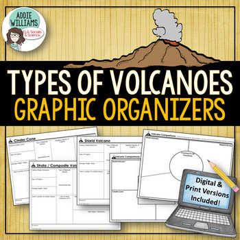
Types of Volcanoes - Graphic Organizers - Digital & Print Versions
Volcanoes - Easy to use graphic organizers that students fill out about each of the four main types of volcanoes - Cinder Cone, Shield Volcano, Strata / Composite Volcano, and a Lava Dome Volcano. A great way for students to organize their notes and ideas. The graphic organizers can be used for library research, notes during class or notes during a video. It allows students to add diagrams and easily access the information. Answer keys included!Also include two graphic organizers for studen
Subjects:
Grades:
7th - 10th
Types:
Also included in: Plate Tectonics / Earthquakes / Volcanoes Organizers | PRINT & DIGITAL
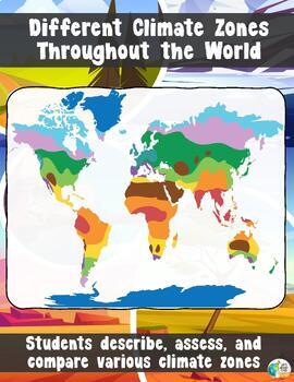
Climate Zones Throughout the World
Different Climate Zones Throughout the WorldThe main goal of this lesson is for students to describe, assess, and compare the characteristics of different climates zones throughout the worldThis lesson is a more detailed version of another climate zone lesson in my store. This lesson will go through 10 Climate types. If you want a simplified version that goes through 4/5 different climate zones – CLICK HERE!Want a webquest similar to this lesson? Click Here!You get a 21 slide PowerPoint with:A
Grades:
5th - 10th
Also included in: Geography Unit Bundle
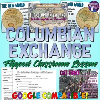
Columbian Exchange and its Impact Flipped Classroom Lesson
This fantastic Columbian Exchange resource includes a PowerPoint, Google Slides, guided notes worksheet, and flipped classroom video and is perfect for your Age of Exploration Unit! The lesson covers all of the following aspects of the Columbian ExchangeCause and Effect of the Columbian ExchangeThe New World vs the Old WorldEuropean colonizationThe impact on diets, economics, culture, and indigenous groupsPeninsulares, Mestizos, and the class systemThe Triangle of TradeThe Middle Passage and Tra
Subjects:
Grades:
7th - 10th
Also included in: World History PowerPoint Bundle Part 2: Classical Asia - Enlightenment
Equatorial (Central) Africa Google Slides World Geography Lesson
Updated:May 2023Google Slides30 Slides: Fully EditableEQUATORIAL Africa Geography Google Slides lesson is a great way to teach students about the physical geography, economy, culture, standard of living, and more of the following EQUATORIAL African countries: Cameroon, Central African Republic, Democratic Republic of the Congo, Equatorial Guinea, Gabon, Nigeria, Republic of Congo and São Tomé and Príncipe.Note Taking GuideThe Google Slides purchase also includes EDITABLE student note-taking guid
Grades:
7th - 10th
Also included in: Sub-Saharan Africa Unit Bundle
South Asia: Google Slides and Note Taking Guide
Updated:April 2023Google Slides38 Slides: Fully EditableSouth Asia's Geography Google Slides lesson is a great way to teach students about the physical geography, economy, culture, standard of living, and more of the following South Asian countries: Pakistan, India, Bhutan, Bangladesh, Nepal, and Sri Lanka.Note Taking GuideThe Google Slides purchase also includes an EDITABLE student note-taking guide/graphic organizers (for print and digital notetaking). There is also a completed note-taking gui
Grades:
7th - 10th
Types:
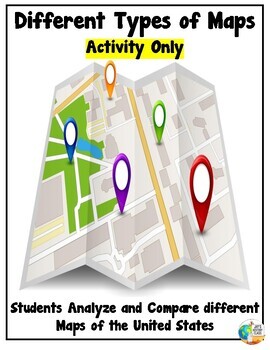
Analyzing and Comparing Different Types of Maps - Map Activity
Different Types of Maps – Activity Instructions:The main goal of this lesson is for students to identify, analyze, and make connections between different types of mapsAlthough not necessary, having computers or Ipads available for students will allow them better view each map in full color. If this is not possible, the maps can still be projected onto a screen.Want a version of this lesson that has an engaging PowerPoint? Click Here!Three Different Activity Options are included. Providing stu
Grades:
6th - 10th
East Africa Google Slides and Note Taking Guide for World Geography
Updated:April 2023Google Slides30 Slides: Fully EditableEAST Africa Geography Google Slides lesson is a great way to teach students about the physical geography, economy, culture, standard of living, and more of the following EAST African countries: Eritrea, Djibouti, Ethiopia, Somalia, Uganda, Rwanda, Burundi, Kenya, Tanzania, Seychelles, Comoros, MadagascarNote Taking GuideThe Google Slides purchase also includes EDITABLE student note-taking guide/graphic organizers (for print and digital note
Grades:
7th - 10th
Types:
Also included in: Sub-Saharan Africa Unit Bundle
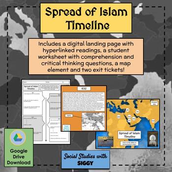
Spread of Islam Timeline Activity
Students will learn about the spread of Islam in both a chronological and geographical approach. Using a “landing page,” students will click on various important dates throughout the creation of Islam and the Islamic Empire, each with a reading. Not only will students answer comprehension questions about each reading, they will also answer critical thinking questions related to “thinking like a historian” skills and complete a map, helping to create dynamic context for this lesson. Also included
Subjects:
Grades:
7th - 10th
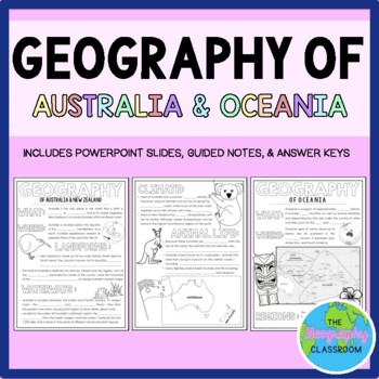
Geography of Australia & Oceania Guided Notes
This set includes resources to teach about the geography of Australia, New Zealand, and the rest of Oceania. Topics included are location, climate, waterways, landforms, and much more. This set includes:- 4 page guided notes handout - Teacher answer key- 19 page editable PowerPoint slides for teachers to use to teach the geography of Australia, New Zealand, and the rest of Oceania to students as they fill out their guided notes.***If you enjoy this product, please leave a review & you can ea
Grades:
6th - 10th
Also included in: Australia & Oceania BUNDLE
Showing 1-24 of 1,621 results


