146 results
Kindergarten geography graphic organizers under $5
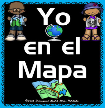
Los Mapas "Yo en el Mapa " Habilidades usando mapas Where We Life
Los Mapas " Yo en el Mapa " Habilidades usando mapas
(Map Skills - Me on the Map / Where We Life - Donde vivimos)
Mini Unit
Por favor asegurece de leer la descripcion y ver el documento previo para asegurar que este producto cubre sus necesidades.
Con este producto los estudiantes aprendedran sobre la historia de los, los elementos basicos y podran hacer mapas.
Contenido de este documento:
Lecturita de la historia de los mapas.
Librito sobre los mapas.
KWL
9 Gráficos de datos
Cuestionario
Subjects:
Grades:
PreK - 2nd
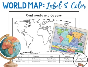
World Map: Continents and Oceans (Color and Label Blank Map)
Here is a simple blank map for students to label and color the 7 continents and 5 oceans of the world! *Idea: Have students use various shades of blues/purples for the oceans!There are 3 versions included. Please see the preview photos. Thank you!Laurin@TheRestfulHomeschool
Grades:
PreK - 6th
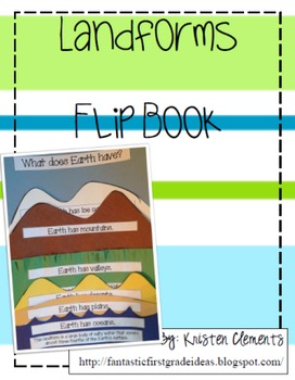
Landform Flip Book Activity
A flip book to display various landforms found on our continent. Comes with descriptions and labels for each landform. Great wrap up visual for any landform unit. Easy- print, cut, staple and glue!
Subjects:
Grades:
K - 5th
Types:
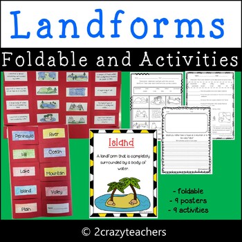
Landforms Foldable and Activities
Help teach, reinforce, and educate your students on the different types of landforms and bodies of water with this cute foldable and activities.This set includes:* Landform Title Cards* Landform Picture Cards* Landform Description Cards* Mountain Poster* Plain Poster* Valley Poster* Island Poster* Peninsula Poster* Ocean Poster* River Poster* Lake Poster* Hill Poster* Create and Illustrate Your Own Landform Booklet* 4 Would you Rather Writing Prompts (primary & regular lined)* Landform Match
Subjects:
Grades:
K - 5th
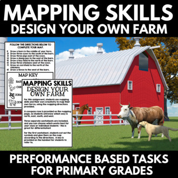
Mapping Skills and Activities - Geography - Map Design - Map Activity
Mapping Skills: Performance Based Tasks - Design Your Own Farm! For this fun geography activity, students use mapping skills and their own creativity to map their own farms, using the mapping directions provided. Perfect for your upcoming mapping unit or geography unit, these mapping activities would also make great additions to a geography interactive notebook.⭐A compass rose is provided on the mapping page, so students will know which way is north, east, south, and west.⭐Three separate workshe
Grades:
PreK - 1st
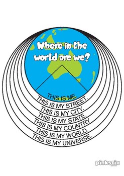
My Place in the World Flip-book
This is an activity workbook that helps students to identify their place not only in their town, but in the world. This flip-book could be used in ANY country, however, it includes replacement templated pages for; - My country page - A map of Australia- My State page - Maps of the Australian States.Once the book is constructed there will be 8 pages as follows:This is my universeThis is my worldThis is my countryThis is my stateThis is my city/townThis is my streetThis is meCover PageThis activi
Subjects:
Grades:
K - 4th
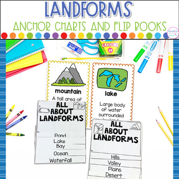
Landforms Anchor Charts and Flip Books Kindergarten Science Activities
Landforms, Anchor Charts, Flip Books Make learning about landforms hands-on and engaging! Combine science, social studies and writing this hands-on resource. These charts and flip books will help students learn, understand, and practice using the vocabulary used when talking about landforms. What's Included: ★16 half page posters- Each poster has a picture and definition ★Land and Water landform flip books (single and double sided) ★Directions for printing and assembling flip books Landforms
Grades:
K - 2nd
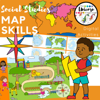
1st Grade Map Skills Digital Activities for Google Slides / Google Classroom
This resource includes 14 Google Slides for students to show what they know about compass rose cardinal and intermediate directions, following directions, continents, oceans, and landforms. These were designed for kindergarten and first grade students. All 14 of the slides have moveable pieces which allow students to move either the picture or a word to the correct place on the slide.I have recorded directions for each slide so that students know what to do. Students may click the audio button f
Subjects:
Grades:
K - 2nd
Also included in: 1st Grade GA Social Studies MEGA BUNDLE
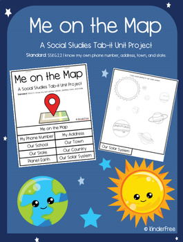
Me on the Map (Social Studies Tab-it Project) SS.K.G.2.2
This is a unit project on the standard: SS.K.G.2.2 I know my own phone number, address, town, and state.It covers knowing your phone number, address, school, town, state, country, planet, and solar system. It is a great tab-it project to slowly complete over time. Each page builds on the other until you put it all together to make a flip open tab. The titles of each page are listed and easily visible on each tab. The following pages are included in this project:The coverpage (that names the proj
Subjects:
Grades:
PreK - 5th
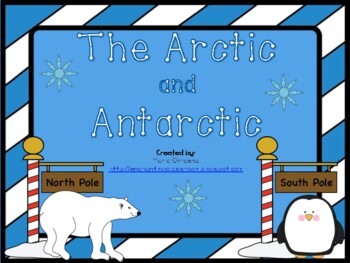
The Arctic and Antarctic
Cute mini lesson about the Arctic and Antarctic!This lesson includes:* 1 poster about the Arctic* 1 poster about the Antarctic* 7 vocabulary cards (igloo, Equator, glacier, iceberg, ice sheets, North Pole, and South Pole)* 1 cut and paste Venn Diagram activity (animals of the Arctic and Antarctic)* 1 writing activity (similarities and differences of the North Pole and South Pole) * 1 cut and paste activity (label the parts of Earth) * 1 research activity for an animal found in the Arctic * 1 res
Subjects:
Grades:
K - 2nd
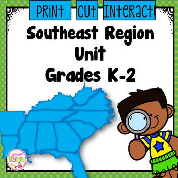
U.S. Southeast Region Unit
*Updated May 2019!* This comprehensive, interactive unit covers everything you need to teach your k-2 students about the region of the Southeast. These sets have also been used across the country for differentiation in the classroom. Students will hop their way across the Southeast and learn all about the states, their climate, natural resources and landforms. There are also 2 differentiated assessments! When you finish the unit, the students also have pages to help them plan a report! Topics
Subjects:
Grades:
K - 2nd
Also included in: U.S. Regions K-2 Bundle

U.S. Western Region Unit
*Updated May 2019!* This comprehensive, interactive unit covers everything you need to teach your k-2 students about the Western region. These sets have also been used across the country for differentiation in the classroom. Students will hop their way across the West and learn all about the states, their climate, natural resources and landforms. There are also 2 differentiated assessments! When you finish the unit, the students also have pages to help them plan a report! Topics include: -Stat
Subjects:
Grades:
K - 2nd
Also included in: U.S. Regions K-2 Bundle

Landforms - The Amazing World of Landforms! Grade K-4
The Amazing World of Landforms!Study the world around us with fun and meaningful activities! Learn all about the different types of landforms with these engaging activities!Grades K - 4! All in one packet - several activities are leveled so all learners can use it! This packet includes:* detailed teacher directions for all of the activities* anchor charts for 18 different types of landforms* landform flashcards * landform booklet to write facts - one book has information already written i
Subjects:
Grades:
K - 4th
Also included in: Landforms! Buy the BUNDLE and SAVE!
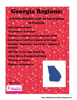
Georgia Regions : A 1st and 2nd Grade Social Studies Unit
This Social Studies unit covers the five regions of Georgia. It includes vocabulary activities, reading comprehension, assessments, graphic organizers, writing prompts, and matching assessments.
Grades:
K - 3rd
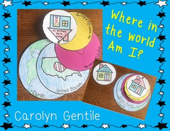
Where in the World am I?
Where in the World Am I?A fun variation of this craft.I made it easy to use with pictures of the world, country and the student’s house. They can color the house the color of their own home. They just need to color, add the name of their state and town, cut it out, and put it together with a brad. There is a choice of a boy or a girl.Enjoy!Carolyn Gentile
Subjects:
Grades:
K - 4th
Types:
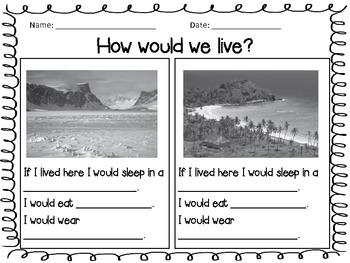
How Do We Live Unit - Compare Contrast Cultures - Social Studies
This unit is a Social Studies unit that I use with my Kindergarten class, however it can easily be used with first or second grade. Included are cross curricular activities to use with writing. Included are:
- venn diagram comparing and contrasting how we live here to other cultures
- writing prompt form for students to write about where they could live if they choose
- pictures of different parts of the world and prompts that allow students to write about how people would live there.
Subjects:
Grades:
PreK - 2nd
U.S. Northeast Unit
*Updated May 2019!* This comprehensive, interactive unit covers everything you need to teach your k-2 students about the Northeastern region of the U.S. These sets have also been used across the country for differentiation in the classroom. Students will hop their way across the Northeast and learn all about the states, their climate, natural resources and landforms. There are also 2 differentiated assessments! When you finish the unit, the students also have pages to help them plan a report!
Subjects:
Grades:
K - 2nd
Also included in: U.S. Regions K-2 Bundle
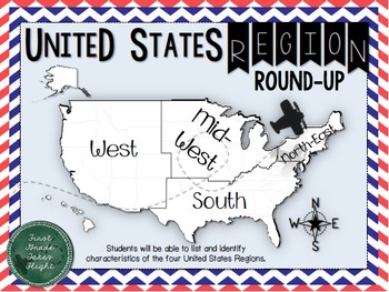
United States Regions Round Up Graphic Organizers {Differentiated - Geography}
Students will be able to list and identify characteristics of the four United States Regions (West, Mid-West, South and North-East).
In this product you will find four note taking formats that will help your students understand the characteristics of the four United States regions. This packet includes the key words; vegetation, climate, animals, compass, region, natural feature, and human-made feature. Explore at your own enjoyment with your class and fill in these sheets along the way as you
Grades:
K - 3rd
Canadian Province Maps & Canada Map - 100% Editable
This resource is 100% EDITABLE using Microsoft PowerPoint. You can add, subtract, or modify any of the content to suit the needs of your students. Great for differentiation!Make mapping engaging and memorable with these Canadian Provincial Maps.Provincial and Country maps can help students visualize the location of cities, lakes, rivers, hills, and valleys. Students also learn about the correct shape, size and location of the provinces. This resource packages includes all Canadian provinces and
Subjects:
Grades:
PreK - 7th

U.S. Midwestern Region Unit
*Updated May 2019!* This comprehensive, interactive unit covers everything you need to teach your k-2 students about the region of the Midwest. These sets have also been used across the country for differentiation in the classroom. Students will hop their way across the Midwest and learn all about the states, their climate, natural resources and landforms. There are also 2 differentiated assessments! When you finish the unit, the students also have pages to help them plan a report! Topics incl
Subjects:
Grades:
K - 2nd
Also included in: U.S. Regions K-2 Bundle
Geography (HASS) Special Places and Features with Amelia Ellicott’s Garden book.
This resource packet uses the text Amelia Ellicott’s Garden to explore special places and their features:What are places like?What makes a place special?How can we look after the places we live in?Natural, constructed and managed features of places.How places change over time.Identifying reasons why places may be important to others. This packet includes ready to go geography activities for a variety of levels from Kindergarten to Year 2 so you can use one wonderful storybook across many classe
Grades:
K - 3rd
Also included in: Amelia Ellicott’s Garden: Literacy & Geography (HASS) Activities.

Texas State Symbols Interactive Foldable Booklets - EBOOK
As you learn about the State Symbols of Texas, you will create a fun booklet to use in your Interactive Notebook or Lapbook. This ebook includes 2 booklets. One has the symbols in color, and the other has them in black & white. These booklets include state map, flag, flower, bird, mammal/insect/fish, and a blank page for you to add more. Collect our booklets for every state! This ebook format includes a downloadable PDF file. It is designed to be used on any Windows or Apple computer system.
Subjects:
Grades:
K - 8th
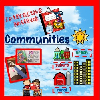
Communities (urban, rural, and suburban) - Interactive notebook
Students love hands-on learning. This interactive notebook will have them engaged and can be used as a reference tool. Parents and students are able to use this resource as a study guide. Students are to color the pictures and bubble words, cut on the dotted lines, and then paste. This resource includes color and black/white options. We also included a magazine picture sort. Your students will not only enjoy these activities but have a better understanding of the communities we live, work, and
Grades:
K - 3rd
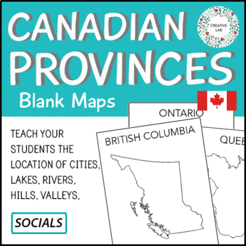
Canadian Province Maps & Canada Map
If you would like to purchase the 100% EDITABLE version of this product, click here! Great for differentiation!Make mapping engaging and memorable with these Canadian Provincial Maps.Provincial and Country maps can help students visualize the location of cities, lakes, rivers, hills, and valleys. Students also learn about the correct shape, size and location of the provinces. This resource packages includes all Canadian provinces and also a map of Canada.This Project Package Includes:- Cover Pag
Subjects:
Grades:
PreK - 7th
Showing 1-24 of 146 results


