74 results
5th grade geography resources for Easel Assessments
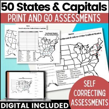
50 States and Capitals Map Activities Print & Digital Resource
Help your students learn and remember the 50 United States and Capitals. This product breaks the 50 states into five regions to make learning easier to manage and teach. United States maps are included with printable assessments, self correcting digital assessment and digital practice worksheets.Update! Easel Digital Version is Included (updated 7/2022)Self Correcting Assessments and Easy to Assign!Save $$$ when you buy as a bundle:The United States and Capitals Geography Review Activities and A
Grades:
3rd - 5th
Types:
Also included in: 50 States and Capitals Bundle Map Print & Digital Resource 50% OFF
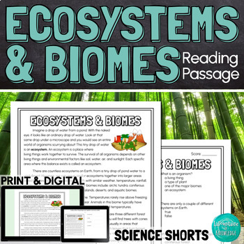
Ecosystems and Biomes Reading Comprehension Passage PRINT and DIGITAL
This easy to read, one page passage defines ecosystems and biomes and explains the difference between the two terms. It describes 7 of Earth's major biomes: arctic tundra coniferous forestsdeciduous forestsrainforestsgrasslandsdesertsaquatic biomesThis download includes a one page passage with color and black line versions of the illustration, 10 multiple choice reading comprehension questions, an answer key, and 2 self-scoring digital versions - EASEL and Google Forms. Color and black line illu
Subjects:
Grades:
4th - 7th
Types:
NGSS:
MS-LS3-1
Also included in: Ashton's Custom Science Shorts Reading Comprehension Bundle
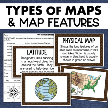
Types of Maps Map Features Skills Geography Posters Social Studies Assessment
Students will learn about different types of maps and common map features with this social studies resource. It includes 17 visuals/posters plus a worksheet/assessment.MAPS POSTERSThese can be kept together as a single page or cut apart into separate cards for display or a matching activity. The top of each card has the title and definition, and the bottom has a full-color illustration. WORKSHEETThis activity requires students to match the types of maps to their purpose, know the function of var
Subjects:
Grades:
3rd - 6th
Types:
Also included in: Geography Landforms & Bodies of Water Types of Maps Map Elements Posters
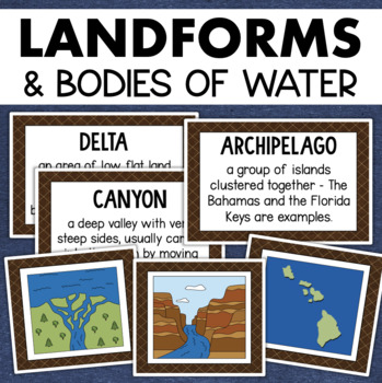
Landforms and Bodies of Water Posters Geography Skills Vocabulary Worksheet
Give your landforms and bodies of water unit a visual boost with this set of illustrated examples! Students will get to SEE what each landform or water body looks like and better understand their features.WHAT YOU WILL GETThis resource contains 24 visuals plus a digital assessment. Each page includes an illustration of the landform or body of water along with the title and definition. Includes:archipelagobaybeachbuttecanalcanyoncavecliffdeltaduneglacierhillislandisthmuslakemesamountainoceanpenin
Grades:
4th - 7th
Also included in: Geography Landforms & Bodies of Water Types of Maps Map Elements Posters
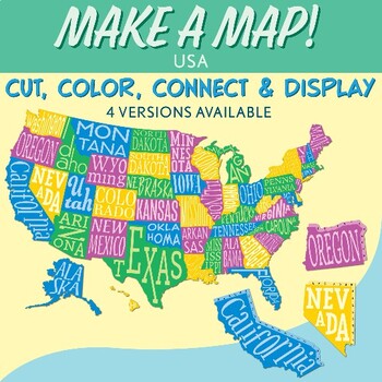
Interactive Bulletin Board United States Map Activity
Transform your classroom into a vibrant learning space with this Interactive Bulletin Board United States Map Activity. This engaging project invites students to actively participate in constructing a colossal wall map of the USA, fostering a collaborative and hands-on approach to learning United States geography. Assign each student a state and watch as the United States comes together, state by state, on your bulletin board! The finished map is an impressive 73 inches in length and 55 inches i
Grades:
4th - 7th
Also included in: USA Geography MEGA Bundle
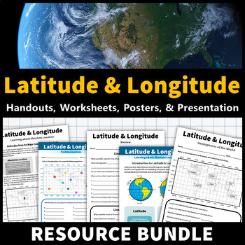
Latitude and Longitude Activities | Map Skills Worksheets Posters Presentation
Learning about latitude and longitude is fun and easy with this resource bundle! This ready-to-use no prep value bundle teaches students about latitude and longitude, the hemispheres of the world, major lines of latitude and longitude (Equator, Prime Meridian, Tropic of Cancer and Capricorn, Arctic and Antarctic Circle), and finding locations using geographic coordinates! This bundle includes: Four handouts introducing latitude and longitude, the world's hemispheres, absolute and relative locati
Grades:
5th - 9th
Types:
CCSS:
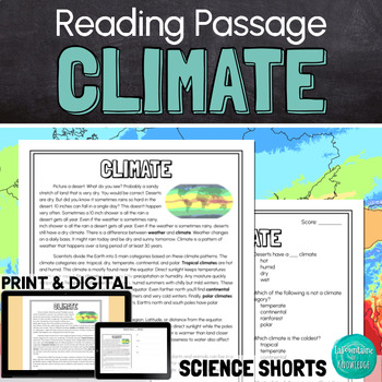
Climate Reading Comprehension Passage PRINT and DIGITAL
This easy to read, one page passage about climate explains:the difference between climate and weatherEarth is divided into 5 main climate categories: tropical, dry, temperate, continental, and polarclimate is affected by latitude, elevation, landforms, ocean wind and currents, and closeness to waterclimate determines which plant and animal species can survive in a regionclimate can change over long periods of time (like during ice ages) and human activities can affect climate change The passage
Subjects:
Grades:
3rd - 6th
Types:
NGSS:
MS-LS2-5
, MS-LS2-4
, MS-ESS3-5
, 3-ESS2-2
, MS-ESS2-6
...
Also included in: Ashton's Custom Science Shorts Reading Comprehension Bundle
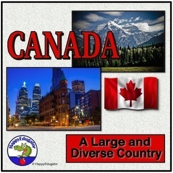
Canada PowerPoint - Overview of the Country's Geography, History, and Economy
Canada PowerPoint. Information on Canada's geography, environmental issues, trade, Canadian Shield, Government, Provinces, Territories, and History. Includes slides on: Canada Day (celebrated on July 1), Acid rain in the Great Lakes region, trade, natural resources, federation under a constitutional monarchy, provinces, history -John Cabot, Samuel de Champlain, the French and Indian War, Canada's Independence, Quebec Politics. Lots of information to use to supplement your unit on the study of t
Grades:
4th - 7th
CCSS:
Also included in: Geography PowerPoint Bundle with Christmas and New Year Around the World
Natural Resources Reading Comprehension Passage PRINT and DIGITAL
This easy to read, one page passage about natural resources explains:natural resources are found in nature but can be used to make synthetic resourcesexamples of natural resourcesthe difference between renewable and nonrenewable resourcesnatural resources are not evenly distributed on Earth because of factors like climate, geologic processes, and the location of ancient lifethe uneven distribution of resources has led to conflict and warThe passage includes 10 multiple choice reading comprehensi
Subjects:
Grades:
4th - 7th
Types:
NGSS:
MS-ESS3-1
, MS-ESS3-4
, MS-PS1-3
Landforms Reading Comprehension Passage PRINT and DIGITAL
This easy to read, one page passage all about landforms is perfect for science. The passage explains that landforms are features that shape Earth. It includes examples of landforms such as: mountains valleysriverslakescanyonsplateaushillsislandstrenchesIt also describes how landforms are created through: weathering and erosiontectonic plate movementasteroids forming craters This download includes a one page passage, 10 multiple choice reading comprehension questions, an answer key, and 2 self-sc
Subjects:
Grades:
3rd - 6th
Types:
NGSS:
4-ESS2-2
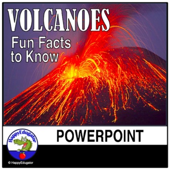
Volcanoes PowerPoint - All About Volcanos Writing Activity and Easel Assessment
Students will enjoy learning about volcanoes with this 30-slide animated PowerPoint. Informative text on volcano types and shapes, how and what is an eruption, how eruptions are measured, the difference between lava and magma, fun facts, famous volcanos, types of igneous rocks, and a vocabulary terms to know reference sheet. Includes photos of volcanos like Mt. Rainier and Mt. Kilauea, which help students understand the difference between a stratovolcano and a shield volcano. Includes a video l
Subjects:
Grades:
3rd - 6th
Aquatic Biome Reading Comprehension Passage PRINT and DIGITAL
This easy to read, one page passage about the aquatic, or water, biome: Describes 2 types of aquatic biomes: marine and freshwaterExplains that oceans, coral reefs, and estuaries are all part of the saltwater marine biomeExplains that lakes, ponds, rivers, streams, and wetlands are all part of the freshwater biomeExplores the difference between lentic freshwater and lotic freshwaterLists some plant and animal species found in both marine and freshwater aquatic biomes This passage is written in e
Subjects:
Grades:
4th - 7th
Types:
NGSS:
3-LS4-3
, 3-ESS2-2
Also included in: Ashton's Custom Science Shorts Reading Comprehension Bundle
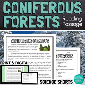
Coniferous Forests Taiga Biome Reading Comprehension Passage PRINT and DIGITAL
This easy to read, one page passage all about the coniferous forest biome (also called taiga):Defines coniferous trees as trees with needles and cones that stay green all year (evergreen trees)Explains where coniferous forests can be found and what the climate is like in this cold, dry biomeLists some types of coniferous trees found in these forests including: pine trees, fir trees, spruce trees, and cedar treesLists some animal species that live in coniferous forests and explores some of the ad
Subjects:
Grades:
4th - 7th
Types:
NGSS:
3-LS4-3
, 3-ESS2-2
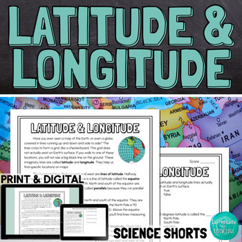
Latitude and Longitude Reading Comprehension Passage PRINT and DIGITAL
This easy to read comprehension passage about lines of latitude and longitude on maps and globes of the Earth explains:latitude and longitude are imaginary lines that help us find exact locations when reading mapslines of latitude run east and west parallel to the equatorlines of longitude run north and south on either side of the prime meridianlatitude and longitude are measured in degrees, minutes, and seconds when used together, latitude and longitude coordinates can help us find exact locati
Subjects:
Grades:
4th - 7th
Types:
NGSS:
MS-ESS2-5
, 4-ESS2-2
Also included in: Keri's Custom Science Shorts Reading Comprehension Bundle
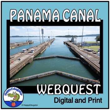
Panama Canal Study Questions Webquest with Digital Easel Activity and Assessment
Explore the Panama Canal with this webquest! Students answer 10 fundamental questions about its location, climate, demographics, and resources. They can complete it as a webquest or conduct independent research. The resource includes an answer key for class discussions. Ideal for homework, homeschool, remote learning, and independent study. 2024 is the hundred and tenth birthday of the Panama Canal. Printable and Digital Resource: Includes an Easel Activity ready for learning with digital tools
Grades:
5th - 8th
Types:
CCSS:
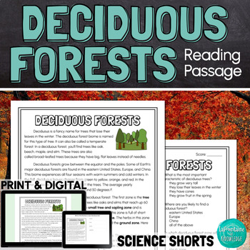
Deciduous Forests Biome Reading Comprehension Passage PRINT and DIGITAL
This one page passage about the deciduous forest biome (also called temperate forests):Defines deciduous trees as trees that lose their leaves in the winter and lists examples of this type of treeExplains where deciduous forests can be found and what the climate is like in this biomeBreaks down deciduous forests into 5 different zones: the tree stratum zone, the small tree and sapling zone, the shrub zone, the herb zone, and the ground zoneLists some animal species that live in deciduous forests
Subjects:
Grades:
4th - 7th
Types:
NGSS:
3-LS4-3
, 3-ESS2-2
Also included in: Ashton's Custom Science Shorts Reading Comprehension Bundle
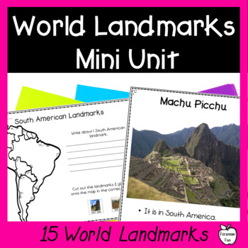
World Landmarks Lessons - 15 Famous Places Geography & Social Studies Unit
This social studies geography mini unit teaches students about 15 famous world landmarks. PDF slideshow lessons teach students the location and fun facts about each landmark. Printable student pages have students cut and paste the landmarks onto the correct location on maps and write what they learned about the landmarks. Class posters provide great visuals during your unit. A landmarks matching puzzle is great for review, a center, or for early finishers. Color and black and white versions are
Grades:
2nd - 5th
Types:
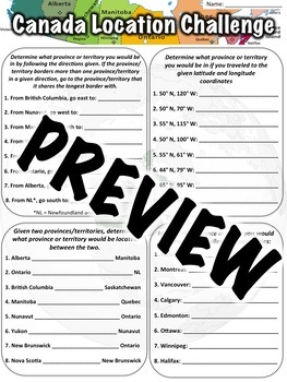
Canada Location Worksheet
This Canada location worksheet has 32 total questions. A PDF worksheet, answer key, link to download the worksheet in Google Slides, and link to download a Google Form are all included.The worksheet is divided in to four sections of eight questions each:In the first section, students are given a country, told to go a certain direction, and asked to identify in which country they would then be located. In the next section, students are given a set of latitude and longitude coordinates and ask
Subjects:
Grades:
5th - 7th
Types:
CCSS:
Also included in: Location Worksheet Bundle
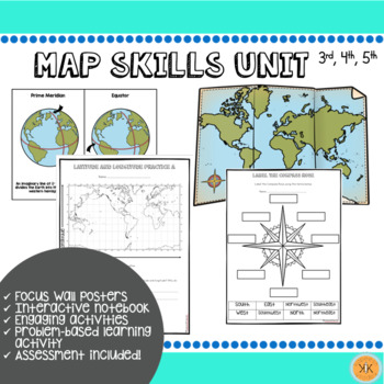
Mapping Skills Unit
Looking for an ENTIRE mapping unit! This product may be just what you need in your classroom! Recommended for grades, 3, 4, and 5 but may also be adapted for use in grade 2.This low-prep *zip file* unit has all you need to teach mapping skills to your students and includes:Day-by-day suggested objectives and activities for no-prep lesson planning!Color mapping skill posters for focus wall"Me on the Map" activity with two optionsInteractive notebook componentsDifferentiated mapping activitiesEnga
Grades:
2nd - 5th
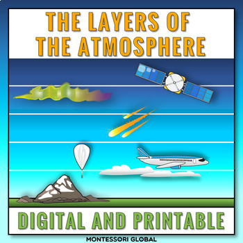
The Layers of the Earth's Atmosphere
The layers of Earth's atmosphere are introduced in printable and digital formats. The layers of Earth's atmosphere Montessori nomenclature cards include definition cards. This product includes a layer of the atmosphere online activity in Boom™ Learning and in TPT Easel. Included:1. Printable layers of Earth’s atmosphere Montessori nomenclature cards 2. Printable layers of Earth’s atmosphere definition cards3. Printable layers of Earth’s atmosphere booklet templates for students4. Self-checking l
Subjects:
Grades:
5th
Types:
NGSS:
5-ESS2-1
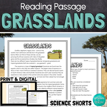
Grasslands Biome Reading Comprehension Passage PRINT and DIGITAL
This easy to read, one page passage about the grasslands biome:describes two types of grasslands: tropical grasslands (savannas) and temperate grasslands (prairies, pampas, and steppes) and explores the differences between themdescribes grasslands as biomes covered in mostly grass with a few shrubs and small treesexplains that grasslands get more rain than deserts but less than forestslists some animal species living in both types of grasslandsThis passage is written in easy to read language you
Subjects:
Grades:
4th - 7th
Types:
NGSS:
3-LS4-3
, 3-ESS2-2
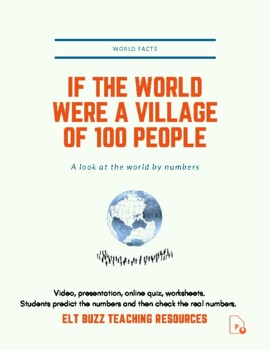
If The World Were A Village Of 100 People. Global Issues. PPTx. Quiz.
Students watch a classic video or view the pptx highlighting statistics about the world we live in. (Not the David Smith 25min DVD which is copyrighted). 1. Students discuss in groups and fill in, guessing what the statistics are for the world. Explain the concept of "If the world were a village of 100 people". 2. Students fill in pie charts with their own categories and guesses. Share thoughts. 3. Students watch the video. Click play. They record the correct answers and check their guesses. If
Subjects:
Grades:
5th - 12th, Higher Education, Adult Education
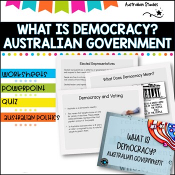
Australian Democracy and levels of government.
What is democracy?AimI can describe the main features of a democracy and discuss the rights and responsibilities of citizens in AustraliaLearning IntentionsTo learn about the different levels of government used to maked decisions and laws in AustraliaWhat is the system of Government in AUSTRALIA?Basic rightsWho rules Australia?What does democracy mean?Democracy and votingYoung people and democracyMain political partiesVotingElected representativesLevels of GovernmentLaw and orderWhat is included
Grades:
4th - 6th, Staff
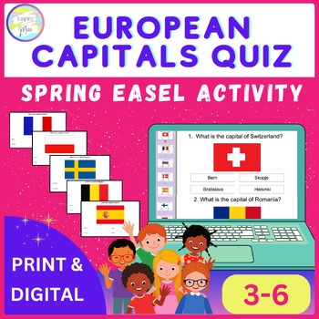
European Capitals Quiz | Spring Easel Activity
Whether used as a standalone activity, a supplement to classroom instruction, or as part of a distance learning curriculum, the European Capitals Quiz Easel Activity offers unparalleled versatility and educational value.Help your students discover Europe's capital cities using this fun and engaging tool, encouraging them to understand and respect different cultures around the world.The countries included in this quiz are: - Switzerland- Romania- Slovenia- Denmark- Spain- Finland- Hungary- Czech
Grades:
4th - 7th
Types:
Showing 1-24 of 74 results


