50 results
End of Year geography internet activity activboard activities
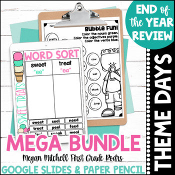
END OF THE YEAR THEME DAY DIGITAL & PAPER MEGA BUNDLE
This MEGA bundle is a combination of my paper pencil and my Digital Google Slides End of the year activities. I look forward to this every year and so do my students. We have a blast and review all the skills we have worked on all year long. Your students can complete beach day, popcorn day, circus day, bubble day, camping day, and ice cream day all while learning through the end of the year. Each day is offered on Google Slides and Print. There are writing, math, and phonics activities included
Subjects:
Grades:
K - 2nd
Types:
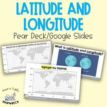
Latitude and Longitude Map Geography Skills Google Slides Pear Deck
Improve your students' map skills with these interactive and engaging Pear Deck slides! Teach your students how to identify lines of latitude and longitude, the Equator, and the Prime Meridian with ease. These slides are a great addition to your geography lesson plans, and can be used as a formative assessment or review activity. The slides come with a brief video tutorial to explain these concepts, followed by an activity where students will pin and label locations on a map using either Google
Grades:
6th - 8th
Types:
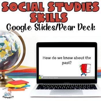
Middle School Geography Timeline Map Skills Interactive Google Slides Pear Deck
Introduce your students to essential social studies skills with this interactive and engaging Pear Deck lesson on Geography, Timelines, and Primary and Secondary Sources! This Google Slides presentation includes mixed-level questions to guide instruction, and students will practice important ELA skills such as identifying and applying domain-specific vocabulary, composing clear written responses, and other writing and reading comprehension skills. This lesson is perfect for whole group instructi
Grades:
6th - 8th
Types:
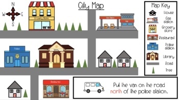
Map Skills & Cardinal Directions Google Slides
These slide are packed full of interactive map activities. It includes the following slides.1 Definitions page1 Fill in the compass rose4 Holiday follow the cardinal directions4 use cardinal directions on a map4 map key questions3 map questions3 Fairytale use the arrows to find the wayThese slides meet many of the geography standards for elementary students.
Subjects:
Grades:
PreK - 2nd
Types:
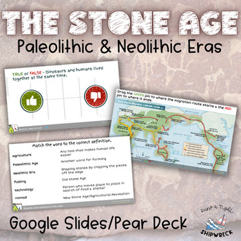
Stone Age Paleolithic Era and Neolithic Era Interactive Google Slides Pear Deck
Dive into the fascinating world of the Stone Age with these interactive Pear Deck slides! Explore the evolution of human civilization through topics such as hunter-gatherer societies, early human migration, technological advancements, and the transition to agriculture. Delve into the lifestyles, tools, and innovations that defined the Paleolithic and Neolithic eras. Engage students in active learning as they participate in discussions, analyze primary sources, and explore the significance of ar
Subjects:
Grades:
6th - 8th
Types:
Also included in: Early Humans Stone Age BUNDLE Pear Decks, Google Docs, and more!
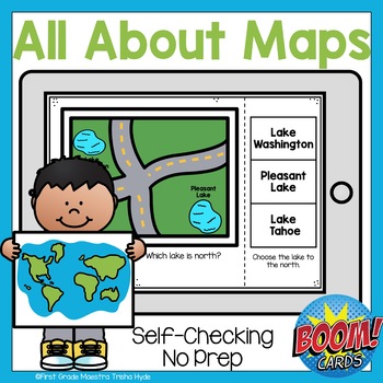
Boom Cards All About Maps
Do you want to make learning to read and use a map fun? Are you looking for purposeful, digital, NO PREP, paperless practice for reading maps? This product is for you! This Boom Cards™ deck provides students practice with identifying symbols on a map, using directions to identify location, and building a map.There are 25 cards that are not randomized. There is audio to support new readers. This game is great for fast finishers, RTI, enrichment, Digital Learning, Distance Learning and even home
Subjects:
Grades:
1st - 2nd
Types:
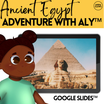
Ancient Egypt | History Virtual Field Trip | Fourth Grade | Google Slides
This Ancient Egypt adventure does more than just a worksheet, incorporating elements of reading comprehension, history, and geography with interactive elements. These 35 Google Slides™ take learners on an adventure of exploration in Ancient Egypt with Aly. They'll learn about the pyramids, hieroglyphics, and the importance of the river Nile.IF YOU ENJOY THIS PRODUCT, TAKE A LOOK AT THE REST OF THE SERIES HEREIncluded within this download:35 Page Google Slide Activity➯ Follow me to be the first t
Grades:
2nd - 5th
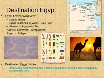
Egyptian Pyramids Powerpoint and Assignment
I created a Powerpoint for theEgyptian Pyramids. This item was originally created for a 6th grade class, but it could be used with students that range from 4th grade to 8th grade depending on academic levels. The Powerpoint includes many different pictures and videos that go along with each slide. The lesson took my students about 60 minutes to complete everything and talk about all of the slides in detail. The lesson also corresponds with the NYS standards and Common Core for grade 6 Social Stu
Grades:
4th - 8th
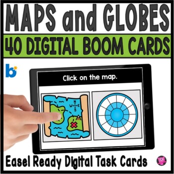
Maps and Globes Kindergarten and 1st Grade Digital Social Studies Centers
Add exciting DIGITAL activities to your map skills units with these maps and globes task cards and Boom Cards! This is a set of 40 map skills and globes task cards to give kindergarten, 1st grade, and SPED students practice with different types of maps, land, water, map symbols, globes, map keys, compass rose, buildings and more. These NO PREP map and globe digital activities will go with ANY geography/social studies units and are perfect for beginning primary grade students!You will be able to
Grades:
PreK - 1st
CCSS:
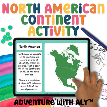
North America Geography Activity World Geography 3rd Grade Geography Project
This North American continent activity takes students on a journey to explore the continent's places, people, and animals. Students will learn about maps, demographics, key geographical features, climate, biomes, ocean currents, and much more!What is included:45-page digital Google Slides activityScreenreader friendly versionBoth written and instant correct ‘click the right answer’ questions.4-minute mini-lesson video4-page written activityAnswer sheetWhy Choose Adventure with Aly?Aligned with C
Grades:
2nd - 5th
NGSS:
3-LS2-1
, 3-LS4-3
, 3-ESS2-2
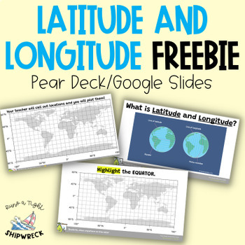
FREEBIE Latitude and Longitude Map Geography Skills Google Slides Pear Deck
Looking to teach your students the basics of latitude and longitude? Look no further than these interactive Pear Deck slides! This engaging lesson will teach students how to identify lines of latitude and longitude, as well as the Equator and Prime Meridian. With activities that challenge students to determine the definitions of Longitude and Latitude, and opportunities to create and call out a list of locations on a world map using Google Earth or an atlas (not included), this lesson is designe
Grades:
5th - 9th
Types:
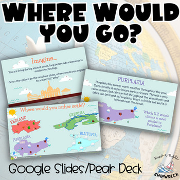
Introduction to Geography “Where Would You Go?” Pear Deck Google Slides
Introduce your students to geography with these engaging Pear Deck slides! This resource will teach students how geography is related to history, civics, economics, sociology, and more. Students will practice identifying and applying domain-specific vocabulary, composing clear written responses, and developing other important writing and reading comprehension skills.After watching a National Geographic video about the importance of geography, students will be given four fictitious regions with d
Grades:
6th - 8th
Types:
CCSS:
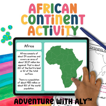
Africa Geography Activity World Geography Curriculum 3rd Grade Geography Project
This African continent activity takes students on a journey to explore the continent's places, people, and animals. Students will learn about maps, demographics, key geographical features, climate, biomes, ocean currents, and much more!What is included:45-page digital Google Slides activityScreenreader friendly versionBoth written and instant correct ‘click the right answer’ questions.4-minute mini-lesson video4-page written activityAnswer sheetWhy Choose Adventure with Aly?Aligned with Curricul
Subjects:
Grades:
2nd - 5th
NGSS:
3-LS2-1
, 3-LS4-3
, 3-ESS2-2
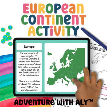
Europe Geography Activity World Geography Curriculum 3rd Grade Geography Project
This European continent activity takes students on a journey to explore the continent's places, people, and animals. Students will learn about maps, demographics, key geographical features, climate, biomes, ocean currents, and much more!What is included:45-page digital Google Slides activityScreenreader friendly versionBoth written and instant correct ‘click the right answer’ questions.4-minute mini-lesson video4-page written activityAnswer sheetWhy Choose Adventure with Aly?Aligned with Curricu
Grades:
3rd - 5th
NGSS:
3-LS2-1
, 3-LS4-3
, 3-ESS2-2

New Deal Discoveries
Goal: Students are to discover New Deal Projects using the Living New Deal website!Students will be assigned locations that they must discover and learn more about. They will update a classroom spreadsheet, along with a guiding questions worksheet!Included:- Spreadsheet- Guiding Questions worksheet- Website link- Slides for review/introducing New Deal organizations
Grades:
9th - 12th

Plan a Family Vacation--$5,000 Budget
Students will have fun with this real life budgeting lesson as they plan their very own family vacation. Students must budget for the family members that live in their household, and must stay with a $5,000 limit. There is a Presentation to discuss all the rules and an excel sheet to help with their totals. As they plan their trip students can create a PowerPoint or a Google Slide that documents their itinerary. The presentation needs to include all expenses and their total cost of the trip
Subjects:
Grades:
4th - 12th
Types:
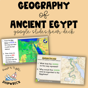
Geography of Ancient Egypt Interactive Google Slides Pear Deck
With this interactive Pear Deck lesson, students will explore the geography of Ancient Egypt and develop their Social Studies and ELA skills! Through various interactive activities, students can practice map analysis, cause and effect, and constructing a brief response citing text evidence. The final slide even allows students to "sail" down the Nile River! This versatile lesson is perfect for standardized test prep, sub plans, whole group instruction, or student-paced mode. The options for impl
Grades:
6th - 8th
Types:
CCSS:
Also included in: Ancient Egypt BUNDLE Pear Decks, Google Docs, and more!
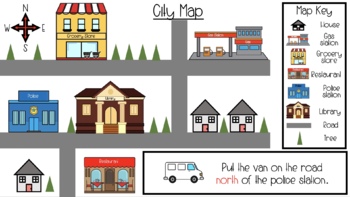
Map Skills & Cardinal Directions Seesaw Slides
These slide are packed full of interactive map activities. It includes the following slides.1 Definitions page1 Fill in the compass rose4 Holiday follow the cardinal directions4 use cardinal directions on a map4 map key questions3 map questions3 Fairytale use the arrows to find the wayThese slides meet many of the geography standards for elementary students.
Subjects:
Grades:
PreK - 2nd
Types:
Middle School Geography, Timeline, Map Skills Google Slides Pear Deck FREEBIE
Looking to teach your students the fundamentals of historical and archaeological thinking? Look no further! Our comprehensive lesson plan covers key Geography Skills and Timeline Skills while introducing students to a variety of sources through interactive Pear Deck slides. With mixed-level questions to guide instruction, this lesson is designed to challenge and engage students at every level. Plus, students will have the opportunity to practice important ELA skills such as identifying domain-sp
Grades:
6th - 8th
Types:
Exploring Google Maps
Everyone uses Google Maps - they’ve just about replaced folding paper maps from the gas station or TripTiks from Triple A - so students should be familiar with them too. And young students (4th-6th) grade love finding there way around on Google Maps, whether they’re looking for famous landmarks, a route to the local zoo, or their own house. This unit includes step-by-step instructions, with screen shots, for guiding students on an exploration of Google Maps. It will guide you through routin
Subjects:
Grades:
4th - 6th
Types:
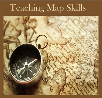
Teaching Map Skills
Teaching Map Skills is geared to 3rd and 4th grade students and covers:
identification of continents and oceans
use of a compass rose
reading a legend or key
study of longitude and latitude
types of maps
reading a map
Maps and quizzes with answer keys are provided for each of these subjects. For example the compass rose and legend sections include
two maps of the U.S. with simple cardinal points
a map of Ohio with intermediate cardinal points
a more complicated map of Maine with intermediate
Subjects:
Grades:
3rd - 4th
Types:
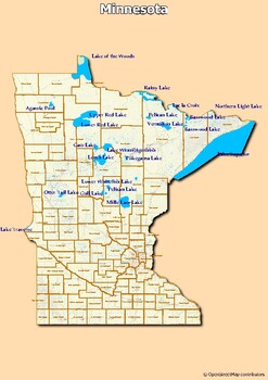
Map of major rivers and map of major lakes in the state of Minnesota, USA
Map of major rivers and map of major lakes in the state of Minnesota, USAThis material gives you two specific maps, one for rivers and one for lakes, which provide an engaging way to learn about geography.Rivers Map: This map shows the major rivers in Minnesota. Using a blank map, students can fill in the names of rivers on the blank map, developing their geography and mapping skills.Lakes Map: Discover the largest lakes in the state of Minnesota. Using this white map, students will be able to i
Grades:
4th - 12th, Higher Education, Adult Education
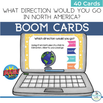
North America Geography Map Activity BOOM Cards
Students learn directions and locations of capital cities and their states, territories, or provinces with this engaging BOOM Card activity. What direction would you travel if you were going from Edmonton, Alberta to Juneau, Alaska? Find out by playing with the 40 cards in this BOOM deck which include:CanadaMexicoUSABOOM cards are engaging, self-paced, self-grading, and super-fun! Students get immediate feedback and you see their results. This is a great tool to help you differentiate by stu
Subjects:
Grades:
5th - 8th
CCSS:
Also included in: Geography Map Skills Activity BOOM Cards BUNDLE
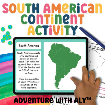
South America Geography Activity World Geography 3rd Grade Geography Project
This South American continent activity takes students on a journey to explore the continent's places, people, and animals. Students will learn about maps, demographics, key geographical features, climate, biomes, ocean currents, and much more!What is included:45-page digital Google Slides activityScreenreader friendly versionBoth written and instant correct ‘click the right answer’ questions.4-minute mini-lesson video4-page written activityAnswer sheetWhy Choose Adventure with Aly?Aligned with C
Grades:
2nd - 5th
NGSS:
3-LS2-1
, 3-LS4-3
, 3-ESS2-2
Showing 1-24 of 50 results


