21,864 results
8th grade geography activities under $5
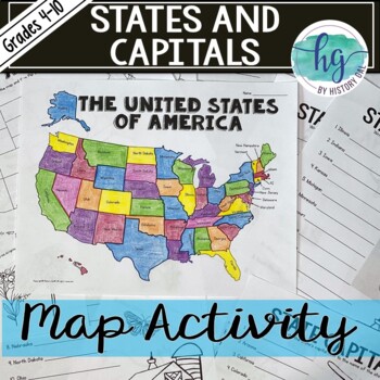
50 States and Capitals Map Activity with printable worksheets & digital map game
Do your students need to know the state capitals and the location of each state on a map? This engaging map set for the 50 states and their capitals will guide your students through labeling a blank map and learning the capitals. Print and digital options plus access to online self-checking map and flashcards let you easily customize the lesson to best fit the needs of your students. Students will label a blank map of the United States with the names of the 50 states and then record the capital
Subjects:
Grades:
4th - 10th
Types:
Also included in: American History Map Activities Bundle for U.S. History Units & Lessons
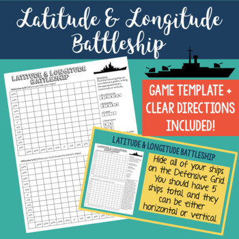
Latitude and Longitude Battleship Game - Map Skills - Fun Geography Activities
Help your students practice their latitude and longitude skills in a fun and engaging way using this no-prep latitude and longitude battleship game! The directions are included right on the template, so this is a no prep activity that comes ready to play. I've also provided PowerPoint directions so you can show students how to play as a class. Students will become well-practiced with using a grid and making sure they always give latitude coordinates first. I've used this every year and my studen
Grades:
4th - 8th
Types:
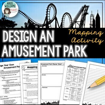
Map Skills Mapping - Design Your Own Amusement Park
Review the basics of mapping with this fun and engaging activity! Using map skills learned in class, students must design a map of their own amusement park and include mapping elements such as scale, a legend, symbols, and more! They must also write about and explain their "best" or most amazing ride. This activity has always been one of my students' favorite projects! It's a fun and unique way to wrap up a mapping unit or a fun project for social studies!I encourage the students to pick a them
Subjects:
Grades:
6th - 9th
Types:
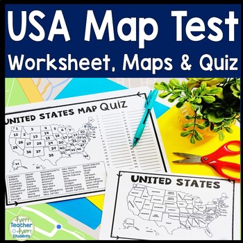
United States Map Quiz & Worksheet, USA Map Test w/ Practice Sheet, US Map Quiz
United States Map Test: Easy-to-read US Map Quiz and Practice Sheet will help students learn to correctly identify and locate all 50 states. This product also includes a labeled USA Map in full & half-page design and blank USA map for practice. Learning how to correctly identify all 50 states on a map of the United States is a critical skill for students of all ages.US Map Quiz (US Map Test) is ready to print-and-go to test knowledge of the USA Map and 50 states. This map of the United State
Grades:
2nd - 8th
Types:
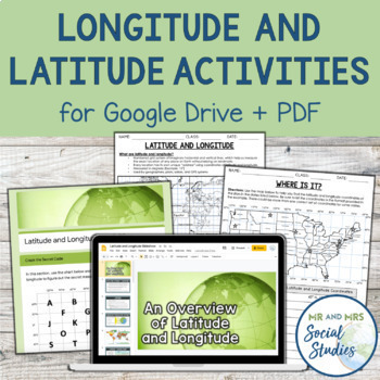
Latitude and Longitude Fun Activities and Practice Worksheet | Google Slideshow
If you are looking for a creative and no-prep resource to teach about latitude and longitude, look no further! This printable and digital activity includes an editable Google Slideshow to teach your students about latitude and longitude, and three different practice activities, giving your students the chance to decode secret messages, figure out mystery locations on a world map, and determine the coordinates of various US states.This resource goes beyond traditional longitude and latitude works
Grades:
5th - 8th
Types:
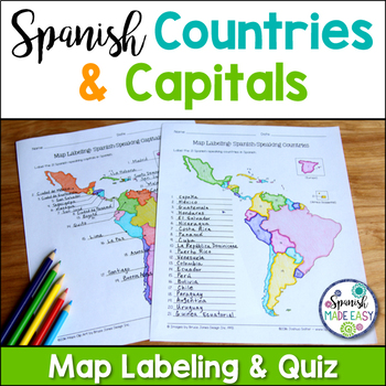
Spanish-Speaking Countries and Capitals Maps and Quiz
This is a map labeling activity and matching quiz over the 21 Spanish-speaking countries and capitals. Students will label and identify the 21 Spanish-speaking countries and capitals in Spanish. This is a great activity when reviewing Spanish-speaking countries and capitals or Spanish geography. Makes a great coloring page. Answer keys are included.
Countries included:
España, México, Costa Rica, El Salvador, Guatemala, Honduras, Nicaragua, Panamá, Cuba, La República Dominicana, Puerto Rico, Ar
Subjects:
Grades:
6th - 12th
Also included in: Spanish Countries and Capitals Geography Bundle
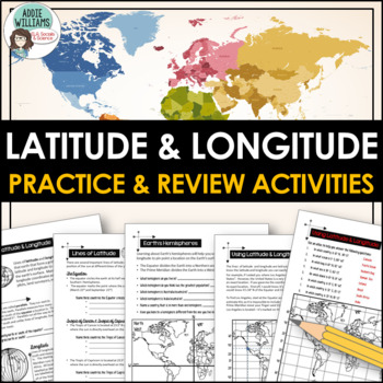
Latitude and Longitude Worksheet Activities for Practice and Review
Do your students struggle with latitude and longitude? Use this resource to help your students learn the fundamentals of latitude and longitude and apply their knowledge to simple maps.This resource includes reference/note sheets on latitude and longitude, the important lines of latitude (Equator, Tropics, Arctic / Antarctic Circle), and longitude (Prime Meridian, Date Line), and how to find a location on Earth using coordinates. This package also includes five worksheets for students to apply
Subjects:
Grades:
6th - 8th
Types:
Also included in: Latitude and Longitude Bundle - Activities, Task Cards, & Posters
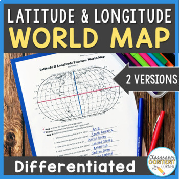
Latitude and Longitude Worksheet | Differentiated Activity | World Map
Do your students find latitude and longitude confusing? This resource will help make teaching this tricky skill a piece of cake! And, this resource comes with two differentiated versions to meet your students needs. Worksheet A has no labels, so students can practice identifying continents, oceans, and 2 (easily identifiable) countries as they follow the Latitude and Longitude coordinates! Worksheet B is similar, and perfect for ELL's or struggling learners! The map on this version is labeled, s
Subjects:
Grades:
4th - 8th
Types:
Also included in: Latitude and Longitude ACTIVITY BUNDLE!
Histagories Trivia for Social Studies, US, and World History Activity
In this history review and conversation game, students are engaged with 8 short lists of information where they work with partners (or individually) to try to come up with answers based on the letter for the round. Included is a letter-choosing paper (students flip a coin and see where it lands!) plus 8 different lists geared toward History, Geography, Geology, and Social Studies themes! A condensed worksheet is also included to save space.Enjoy this fun way to spend the first few (or last few
Subjects:
Grades:
5th - 8th
Types:
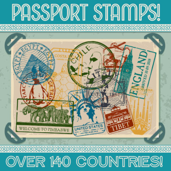
Passport Stamp Bundle - OVER 140 COUNTRIES!
Thanks for checking out my store!This updated product now contains stamps from over 140 countries!!! Let your students cut out their own and glue it into their passport, or print the stamps on sticker paper and hand them out as rewards for reaching certain goals. Whatever your methodology may be, I’m positive your kids will love it! Altogether this product contains over 300 PNG files, one color and one black & white for each country. This product comes with a LIFETIME update guarantee. As I
Subjects:
Grades:
1st - 9th
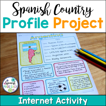
Spanish Country Profile Project
This is a country profile project over the 21 Spanish-speaking countries. Students will research important geographical and cultural facts about each country. This activity includes a blank country profile template, a template for each country, a list of Spanish-speaking countries, and a grading rubric in both English and Spanish. Research topics include: Countries flag, map, capital, language(s), population, area, currency, climate, interesting facts, tourism and attractions, cuisine, sports, a
Subjects:
Grades:
2nd - 12th
Types:
Also included in: Spanish Countries and Capitals Geography Bundle
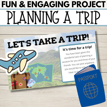
Fun End of Year Activity - Travel Project - Plan a Trip!
This is the perfect project to do this year - especially before a break or just for fun! In this project, students will apply personal finance skills to plan a 3-day trip for themselves and a few friends. They must create a budget and plan three days' worth of food and activities. It is a whole lot of fun and they can have so much ownership and creativity. It works great to display Math, ELA, and Social Studies skills. They will have to research customs, and locations and add, multiply, and divi
Subjects:
Grades:
4th - 10th
Types:
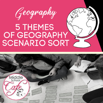
5 Themes of Geography Scenario Sort Cards
Looking for a way to help students understand the 5 Themes of Geography beyond the definition? Help students understand the 5 Themes with this sort that utilized real-world scenarios. Students from upper elementary to middle school will benefit from this activity. Included in this product:⇒ 10 Themes of Geography header cards (5 in each set)⇒ 38 scenarios for students to sort (19 in each set)⇒ Suggested uses for this product⇒ Answer keyRelated Products⭐ Why Study Geography?⭐ World Geography Wa
Subjects:
Grades:
5th - 8th
Types:
Also included in: 5 Themes of Geography Activities
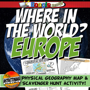
Where in the World Scavenger Hunt & Map Activity Set Physical Geography Europe
This geography activity is completely student-driven, fun, and interactive. It can be done with any textbook map or atlas with European physical geography. First, students create a physical map of Europe, labeling key features. Then, students play the Where in the World Scavenger Hunt printable clue game. Students guess the features by reading four description clues for differing geographical features of Europe. It comes with a key!What's Included:⭐ Physical map activity⭐ Scavenger Hunt Activity
Grades:
4th - 8th
Types:
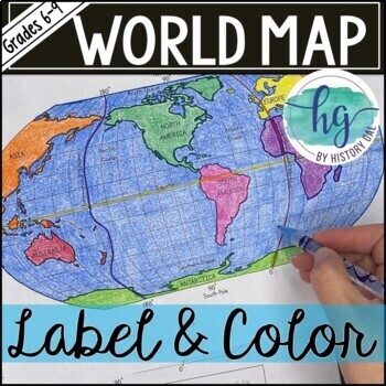
World Map Activity (Print and Digital)
Students will label 17 items on the world map including the continents, oceans, equator, prime meridian, international date line, North Pole and South Pole. Alternatively, students can just color on the coloring page version. What's included with the Printed Versions:*Blank World Map for students to label and color (1 page, uneditable pdf)*World Map Coloring Page (1 page, uneditable pdf)*Map Key (1 page, uneditable pdf)*Animated PowerPoint and Google Slides shows each location and is perfect fo
Subjects:
Grades:
6th - 10th
Types:
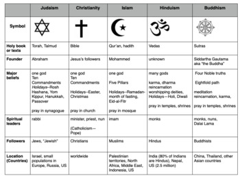
Compare World Religions Chart --Judaism, Christianity, Islam, Hinduism, Buddhism
This is a chart I use with my students to compare five major world religions-- Judaism, Christianity, Islam, Hinduism and Buddhism. It is meant to have the students learn the basics and be able to know the major aspects of all the religions. I included a blank copy and a completed version. In my social studies textbooks, there is quite a bit of info about each of these religions. This can also be done this as a group jigsaw activity. Feel free to edit it to suits your needs. Let me know if
Subjects:
Grades:
5th - 10th
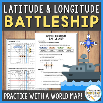
Latitude and Longitude Battleship Game | Geography Activity
This game is a fun twist on the traditional game of battleship! Students will practice following Latitude and Longitude coordinates to sink their partner's ships. This product uses a world map to help reinforce essential geography skills. This game is a great addition to a geography/map-skills unit. It can be used to check student progress or as a fun, culminating activity! This product includes: 4 pre-plotted gameboardsBlank gameboards for students to plot their own shipsDetailed instructionsS
Subjects:
Grades:
5th - 8th
Types:
Also included in: Latitude and Longitude ACTIVITY BUNDLE!
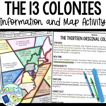
13 Colonies | Differentiated Passage and Coloring Activity for Social Studies
This differentiated resource is perfect to have on hand for your Social Studies classroom as students practice finding text evidence with information about the 13 Colonies. Get this resource and more in my Social Studies BundleTwo versions are included to differentiate for your students:Version 1 Identify the year colonies were founded/founders. They do not have to know the location of the coloniesVersion 2 The map portion is blank- they will need to know the location of the colonies as well as
Grades:
4th - 8th
Types:
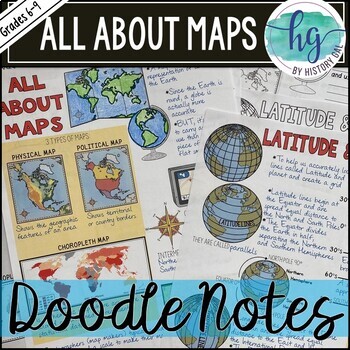
All About Maps Doodle Notes and Digital Guided Notes
This doodle notes set covers basic information about maps. It includes cardinal and intermediate directions, compass rose, scale, 3 types of maps (Physical, Political, and Choropleth), cartographer, map vs. globe, Latitude, Longitude, Equator (0 degrees), North Pole (90 degrees N), South Pole (90 degrees S), Northern Hemisphere, Southern Hemisphere, Prime Meridian (0 degrees), International Date Line (180 degrees), Eastern Hemisphere, Western Hemisphere. What's included with the printed Doodle N
Subjects:
Grades:
6th - 9th
Types:
Latitude and Longitude Worksheet | 3 Activities for Latitude Longitude
In this latitude and longitude student activity lesson, students are taught how the geographic coordinates of longitude and latitude are used and found. Students complete THREE different activities to build their skills with understanding latitude and longitude. First, students complete a short introductory reading with a short activity focused on the purpose and basics of latitude and longitude. Next, students complete a "Which City Is Located Here" activity, where they are given geographic c
Grades:
5th - 8th
Types:

Geography of Mesopotamia Map Activity l Physical World Worksheet Scavenger Hunt
Where in the World Geography Scavenger Hunt Activity with worksheet.The physical map of ancient Mesopotamia, where students complete a scavenger hunt. Highly rated and reviewed! Explore the captivating geography of Ancient Mesopotamia through this engaging and student-driven activity that combines fun with interactive learning. Your students will embark on a journey of discovery as they uncover the essential geographical elements of this ancient civilization. Here's how the adventure unfolds:Map
Grades:
4th - 8th
Types:
CCSS:
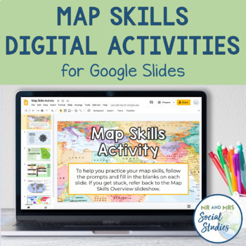
Map Skills Digital Activity and Overview Slideshow | Map Skills Middle School
If you are looking for map skills activities that you can use digitally, you are in the right place! This resource includes both a Map Skills Slideshow with information about different components of maps and a no-prep Map Skills Activity for Google Slides. All of the information is presented in an organized, colorful, and easy-to-understand way for your students.This Map Skills Google Classroom resource includes the following:Teacher Guide (PDF)Map Skills Overview Slideshow (Google Slideshow wit
Grades:
5th - 8th
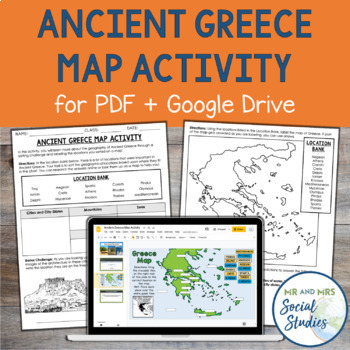
Ancient Greece Map Activity for PDF and Google Drive | Geography Activity
This printable and digital Ancient Greece Map Activity goes beyond a traditional mapping activity and involves inquiry and higher-order thinking! In this engaging geography activity, students are given a list of 15 different geographical locations from Ancient Greece, and they must first sort them into different categories. These categories include city-states, islands, mountains, and more. After students have sorted the locations, they will place them on a map, either by labeling them on the pa
Subjects:
Grades:
5th - 8th
Types:
CCSS:
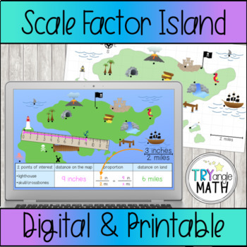
Proportions and Scale Factor Treasure Map Digital Activity
Practice using proportions to find the distance represented on a map with this fun treasure map! Measure or count the distance between 2 points of interest on the map. Be careful, some points are halfway between two numbers! Then, write a proportion and solve to find the distance on "real land."Includes 6 versions:The Google Slides digital version has a ruler to measure in inches. The rulers are already at the correct angle so students just need to click and drag to measure. Includes 15 ques
Subjects:
Grades:
6th - 8th
Types:
Also included in: Proportions Digital Activity Bundle
Showing 1-24 of 21,864 results


