379 results
Not grade specific geography graphic organizers
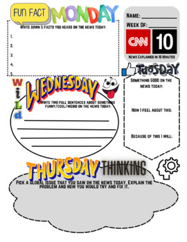
CNN 10 Weekly Warm Up - English and Spanish Version Included
If you watch CNN 10 (student news), but you're tired of students not paying attention, sleeping, or playing during the show...this is the product for you! It is 100% print and go, and easy to grade for completion! Students must complete an activity each day - examples: Fun Fact Monday, Thumbs Up Tuesday, and Freestyle Friday. They must also use their map skills daily on a blank world map. This is an easy to use daily warm up that the kids will love!**THIS IS UPDATED FOR THE NEW ANCHOR** **INCLUD
Grades:
Not Grade Specific
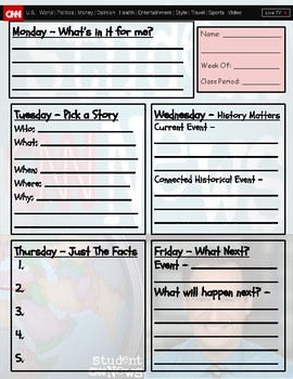
CNN10 Graphic Organizer
Current events based graphic organizers to students to complete during a week of the news.
Grades:
Not Grade Specific
Types:
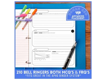
Daily Bellringer | 210 Question Slides | AP Human Geography | Year-Long Resource
Set yourself up for success with this year long resource. Included is a slide deck with 210 FRQ and MCQ bellringers. Questions have been sourced from past APHG exams. Each bellringer includes a slide with the answer options. Slide Deck - 419 SlidesEach slide is labeled with a question number. Slides can be moved around to suit your needs. Questions are loosely grouped based on units. Each unit has a minimum of 25 bellringers, with some having more, depending on the source availability. There are
Subjects:
Grades:
Not Grade Specific
Also included in: Everything AP Human Geography Bundle
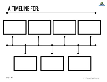
Blank Timeline Template
This is a blank generic timeline that students can fill in.
Grades:
Not Grade Specific
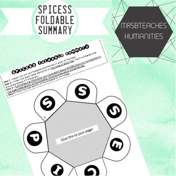
Australian Curriculum - SPICESS Geography concepts foldable
The concepts of Space, Place, Interconnection, Change, Environment, Sustainability and Scale (SPICESS) are fundamental concepts for geography students today. This resource links directly to the Geographical knowledge and understanding strand of the Australian Curriculum. This foldable will help your students have a tangible graphic organiser that will help them remember the acronym and how to apply it in their geographical studies.
Australian Curriculum content descriptor:
Year 7:(ACHGS047)
Ye
Subjects:
Grades:
Not Grade Specific
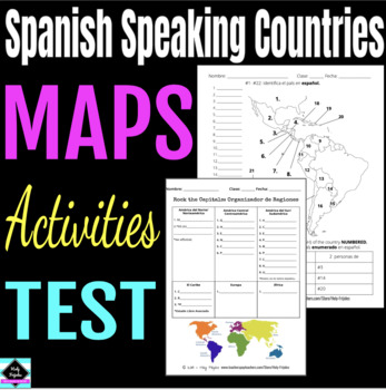
Maps: Spanish Speaking Countries and Regions
Great for any Spanish learners studying where in the world Spanish is spoken. Included:Rock the Capitals graphic organizer (by region)* 1 page: Identify and color the region - North, Central, South America, Caribbean, Europe, Africa* 3 pages of maps to label the Spanish Speaking Countries (with word banks) - Norteamerica, Centroamerica, & el Caribe - Sudamerica - Africa & Europa * 1 page geography/nationality assessment* link to slides (with more stuff like Quizlet Li
Subjects:
Grades:
Not Grade Specific
Also included in: Spanish Speaking Countries Bundle
South American Countries Geography Knowledge Organizers Bundle!
These clear, detailed and visually-appealing resources offer a complete reference point for students revising knowledge relating to South American countries.Included are knowledge organisers on the following countries:ArgentinaBoliviaBrazilChileColombiaEcuadorGuyanaEcuadorGuyanaParaguayPeruSurinameUruguayVenezuelaEach organizer contains comprehensive sections on:Overview and Maps;Physical Geography;Human Geography;Comparison with the United Kingdom;Country Timeline;Key Vocabulary.They are design
Grades:
Not Grade Specific
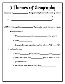
5 Themes of Geography Outline Notes Fill-in
As students learn about the 5 Themes of Geography, they can learn to take outline notes with this fill in the blank worksheet. The key for the outline notes is included.
Grades:
Not Grade Specific
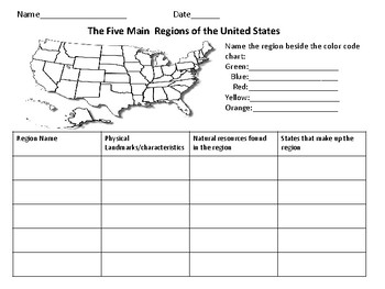
The Five Regions of The United States
This page includes a map of the U.S. in which students color-code the different regions of the U.S. There is also a chart in which students can take notes about the landforms/ characteristics of each region as well as other important information.
Grades:
Not Grade Specific
Theme Park Design Project
Create your own amusement park! This project combines writing, geography skills, and art to help students visualize their own theme park.
This project can be used on its own or as a fun activity at the end of a unit. We incorporated this into our James and the Giant Peach novel study as a fun way to finish the unit during state tests. My students designed rides based on key moments in the novel and created their park theme based on the an aspect of the novel.
Project includes:
• Graphic organ
Subjects:
Grades:
Not Grade Specific
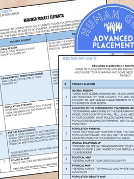
Build Your Own Country | Advanced Placement Human Geography | Cumulative Project
Allow your students to put all their AP Human Geography knowledge together to create their own country. This is a great activity to have students engage with after the AP Exam. This resource includes three sections, with individual rubrics, as well as, superlative awards to present to your nation builders, voted on by their classmates. The project allows students to demonstrate their knowledge by choosing from 50 course elements to include in their country. The intention of this project is for s
Grades:
Not Grade Specific
Also included in: Everything AP Human Geography Bundle
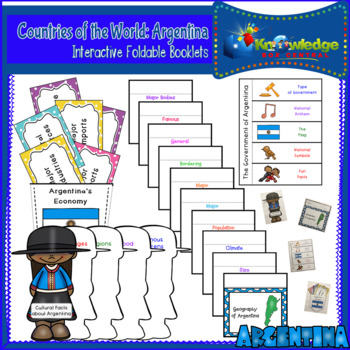
Countries of the World: Argentina Interactive Foldable Booklets - FREE
Explore Argentina as you create these interactive foldables for your Interactive Notebook or Lapbook.These 4 foldables cover:*The geography of the Argentina*Economic facts about Argentina*The government of Argentina*Cultural facts about ArgentinaThis ebook is a downloadable PDF file. Just follow the instructions, cut, fold, glue, and create!Don’t miss our other Countries of the World Interactive Foldable booklets!Countries of the World: Argentina Interactive Foldable Booklets – EBOOKCountries of
Subjects:
Grades:
Not Grade Specific
Also included in: Countries of the World Interactive Foldable Booklets BUNDLE - EBOOK
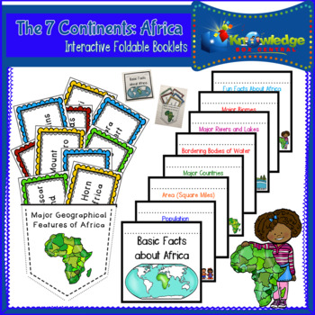
The 7 Continents: Africa Interactive Foldable Booklets - EBOOK
Explore the continent of Africa as you create these interactive foldables for your Interactive Notebook or Lapbook.These 2 foldables cover:*Basic facts about the continent of Africa.*Major geographical features of Africa.This ebook is a downloadable PDF file. Just follow the instructions, cut, fold, glue, and create! For a FREE example of an Interactive Foldable Booklet, please download this one at no charge:Countries of the World: Argentina Interactive Foldable Booklets – EBOOK Take a look at a
Subjects:
Grades:
Not Grade Specific
Also included in: The 7 Continents Interactive Foldable Booklets BUNDLE - EBOOK
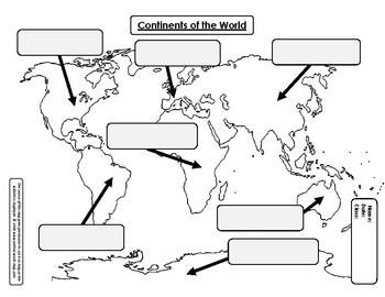
Continents of the World - Labeling Map & Story
Help your students learn the names and locations of the 7 continents. This product contains a blank map with boxes to label the continents. It also contains a little story to help your students remember the names of each continent, as well as an order to label them in.
Subjects:
Grades:
Not Grade Specific
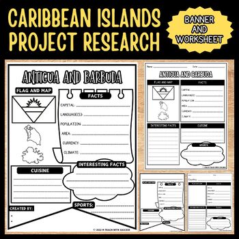
Caribbean Islands Project Research | Caribbean Islands Banners Research Activity
These Caribbean Islands Project Research Templates and Banners are helpful tools that guide users through the research process. They encourage comprehensive investigation, covering essential topics such as geography, flags, cuisine, and more. This activity also includes a blank Island Project Research template and blank Island Project Research banner.Islands included:Antigua and Barbuda, The Bahamas, Barbados, Cuba, Dominica, Dominican Republic, Grenada, Haiti, Jamaica, Saint Kitts and Nevis, Sa
Subjects:
Grades:
Not Grade Specific
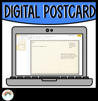
Digital Postcard Template
✏️ Student's may collaborate or work independently to create a digital postcard using this template for Google Slides. Suitable for distance learning or printable. What's included? Postcard front and back cover Google Slides page.You may also be interested in:Are We There Yet? Alison Lester Activities | Book Companion | Teacher ResourceMagic Beach Book Companion | Worksheets & ActivitiesA Letter To Your Teacher On The First & Last Day Of School BundleI hope you enjoy this great bundle in
Grades:
Not Grade Specific
Types:
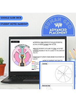
Urban City Models Lesson | Student Notes & Slide Deck | AP Human Geography | 6.5
Use this ready-to-print activity for your 6.5 lesson in AP Human Geography. This resource includes an 11 page slide deck and a 4 page student handout. Each slide includes a colorful city model and supporting notes. The student handout includes blank models ready to be colored and labeled by your students, with space for student notes. Included City Models Review Bid Rent Theory Concentric Zone Model Sector Model Multiple Nuclei Model Galactic City Model Latin City Model Sub Saharan African City
Subjects:
Grades:
Not Grade Specific
Also included in: Everything AP Human Geography Bundle
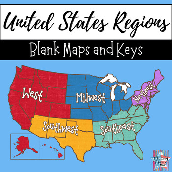
United States 5 Regions Blank Map and Key, Geography, Print and Go, Maps
This United States 5 Regions Map Activity is a great tool to use when introducing your geography unit. Students can either follow along with the teacher as you color the map, while discussing the different regions, or they can use a textbook/internet to research the regions on their own/in groups. Included you will find a blank map (I recommend making copies on white cardstock so the map is more durable and will last through your unit) as well as a colored map as a reference tool for you. Pleas
Grades:
Not Grade Specific
Countries of the World Interactive Foldable Booklets BUNDLE - EBOOK
Have fun studying about some of the major countries of the world! These are designed to be used with any textbook or curriculum. Glue into your Interactive Notebook or Lapbook. As your student learns about each country, he will create 4 interactive foldable booklets for each of the 32 ebooks with a total of 128 interactive foldable booklets (4 for each country)! You will receive 4 interactive foldable booklets on each of the countries listed below. For EACH country, you will receive booklets th
Subjects:
Grades:
Not Grade Specific
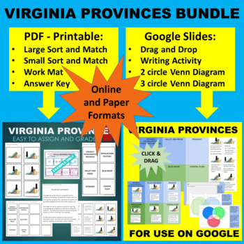
Virginia's 5 Regions - Sort & Match Activity - Google & Paper Combo Bundle
FOLLOW ME SO YOU CAN CHECK OUT MY OTHER FREE PRODUCTS AS THEY ARE RELEASED!!! This BUNDLE contains both the Sort and Match Activity as a PDF Printable file and the GOOGLE Slides Activity as described below: PDF: This no-prep activity involves matching the following 5 Virginia Provinces (Appalachian Plateau, Valley and Ridge, Blue Ridge, Piedmont, Coastal Plain/ Tidewater) to descriptions and images. These provinces are also known as geologic, geographic or physiographic regions. It can b
Grades:
Not Grade Specific

MAP PRIMARY SOURCE ANALYSIS GRAPHIC ORGANIZER
Primary Source Analysis (Graphic Organizer) for MAP primary sources-- Follows National Archives model for primary source analysis for grades 9-12
Grades:
Not Grade Specific
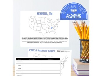
Urban Food Deserts Gallery Walk | AP Human Geography | Unit 5
What’s Included -•Gallery Walk focused on top 10 urban food deserts in the USA •Notes Sheet •Reflective follow up activity •Supporting FRQThis is a great activity to teach students about food deserts in the US. Students will be practicing their reading comprehension and critical thinking skills as they search for the commonalities of urban food deserts. Students will identify the causes and consequences of food deserts by looking at the ten worst food deserts in the US. This activity can take 1-
Subjects:
Grades:
Not Grade Specific
Also included in: Everything AP Human Geography Bundle
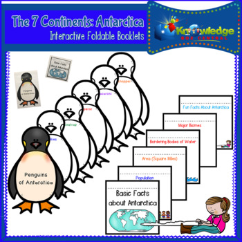
The 7 Continents: Antarctica Interactive Foldable Booklets - EBOOK
Explore the continent of Antartica as you create these interactive foldables for your Interactive Notebook or Lapbook.These 2 foldables cover:*Basic facts about the continent of Antarctica.*Various penguin species of Antarctica.This ebook is a downloadable PDF file. Just follow the instructions, cut, fold, glue, and create! For a FREE example of an Interactive Foldable Booklet, please download this one at no charge:Countries of the World: Argentina Interactive Foldable Booklets – EBOOK Take a lo
Subjects:
Grades:
Not Grade Specific
Also included in: The 7 Continents Interactive Foldable Booklets BUNDLE - EBOOK
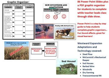
U.S. History - Westward Expansion - Adaptations and Technology by Pioneers
This two day lesson includes a graphic organizer in PDF form for students to complete while the teacher guides the class through an 86 slide Power Point. The slide show includes guides to help students complete the graphic organizer, fun sound effects, primary source photos, and is an excellent resource for visual learners!
Topics included are:
Steel Plow
McCormick's Mechanical Reaper
Sod Houses
Transcontinental Railroad
Pioneer Life and Adaptations
Dry Farming
Windmills
Barbed Wire
Grades:
Not Grade Specific
Showing 1-24 of 379 results


