12,255 results
7th grade geography homework by TpT sellers for TpT sellers
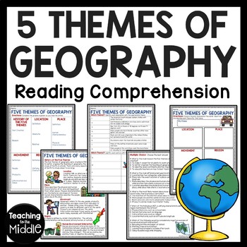
Five Themes of Geography Reading Comprehension Worksheet and Activities
Several Social Studies' Pacing Guides call for review or teaching of the Five Themes of Geography. I found that even though my students had seen this information in the past, they were still confused about some of the differences. This product gives students an informational passage (800-900 Lexile Level) on the history of the themes and a brief description of each. A graphic organizer is provided for students to complete while reading the passage. This can be done as whole group instruction,
Subjects:
Grades:
4th - 7th
Types:
Also included in: Social Studies MEGA Reading Comprehension Bundle For Buyer
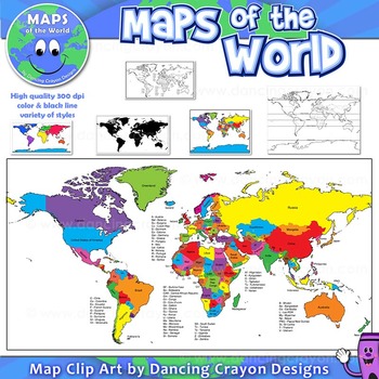
Maps of the World: Clip Art World Maps
Maps of the World: Clip Art World Maps
High quality color and black and white maps of the world.
This clipart map set contains the following commercial use graphics:
- Color maps of the world
- Black and white line art maps of the world
- Maps of the world with lines of latitude and without lines of latitude
- Maps of the world with larger countries labelled (color and black and white)
- Silhouette maps of the world
- A map of the world showing seven continents in color and black and white:
Grades:
3rd - 12th, Higher Education, Adult Education, Staff
Also included in: Maps of the World Clip Art - MEGA-BUNDLE
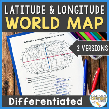
Latitude and Longitude Worksheet | Differentiated Activity | World Map
Do your students find latitude and longitude confusing? This resource will help make teaching this tricky skill a piece of cake! And, this resource comes with two differentiated versions to meet your students needs. Worksheet A has no labels, so students can practice identifying continents, oceans, and 2 (easily identifiable) countries as they follow the Latitude and Longitude coordinates! Worksheet B is similar, and perfect for ELL's or struggling learners! The map on this version is labeled, s
Subjects:
Grades:
4th - 8th
Types:
Also included in: Latitude and Longitude ACTIVITY BUNDLE!
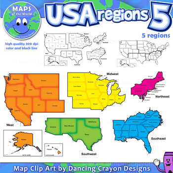
Regions of the USA: Five Regions - Map Clip Art
Regions of the USA: Five Regions - Map Clip Art
.............................................................................................
Please check the regions in this set before purchase. We offer a choice of THREE different US Region Map Sets:
USA divided into FOUR regions / NINE divisions (as set out by the United States Census Bureau)
USA divided into FOUR regions / TEN divisions (as taught in some states)
Please read on for more information about THIS region set:
............
Grades:
3rd - 12th, Staff
Also included in: Maps of the World Clip Art - MEGA-BUNDLE
Maps of the World Clip Art - MEGA-BUNDLE
Maps of the World - MEGA-BUNDLEMEGA VALUE: Comprehensive collection of clip art maps and countries of the world - 380 images!COMPREHENSIVE:Hundreds of graphics spanning numerous countries and regions of the world. See below for the list of countries included. CONVENIENT and PRACTICAL:All the maps and world graphics you need for making teaching resources, worksheets, school projects, and more - all at your fingertips when you need them. Both color and black and white resources for all your dif
Grades:
3rd - 12th, Staff
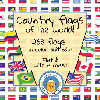
Country flags of the world: 263 Country flags - clip art bundle (1052 clips!)
Country flags of the world: 263 Country flags. HUGE clip art BUNDLE!
This clip art contains 263 flags, in 2 forms (flat and with mast) in color and black & white line art.
Contains all the flags of the countries of the world : 195 Countries.
Look at the complete list of flags by downloading the preview
A total of 1052 clips!
Included:
263 color flag (flat) clip art flag set- PNG format
263 B&W flag (flat) clip art set- PNG format
263 color flag (with mast) clip art set- PNG format
Grades:
PreK - 12th, Higher Education, Adult Education
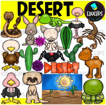
Desert Clip Art Set {Educlips Clipart}
A collection of desert and desert animal images. The graphics in this pack are: black widow spider, cactus plants, camel, desert background, desert rose, eagle, tortoise, fennec fox, gekko, jackrabbit, meerkat, ostrich, rattlesnake, scorpion, vulture, word art.38 images (19 in color and the same 19 in B&W)Images saved at 300dpi in PNG files.For personal and commercial use..Download preview for TOU.©Educlips LLC 2014Follow Educlips on FacebookFollow Educlips on InstagramKeywords: desert, biom
Grades:
PreK - 12th, Staff
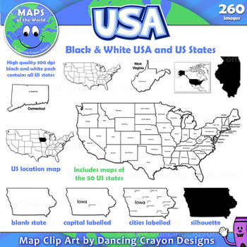
Maps of the USA and US States: Black and White Bundle
A practical set containing our black and white USA maps and US States maps.
260 images of the USA and individual US states in black and white line art. Perfect for creating worksheets and printables.
If you are looking for both color and black and white please see our USA maps bundle:
Click here for USA Map Bundle.
This clipart map set contains the following commercial use graphics:
- Black and white line art maps of all 50 US states in the following styles:
- Blank
- capi
Grades:
3rd - 12th, Staff
DBQ Bundle of SIX Ancient History Document Based Questions
*BEST SELLER BUNDLE*This is a set of six Ancient History DBQs that are also offered separately for $4.00 each. Buy the set and save versus purchasing them individually. These DBQs address the Common Core State Standards. They have a page outlining the English Language Arts/History/Social Studies grades 6-8, 9-10, and 11-12 CCSS that they address. The Document Based Questions (DBQs) were created for 6th Grade World History. It could also be used in 9th grade Global Studies/World History. This
Grades:
5th - 10th
Continents of the World Reading Comprehension Worksheet Bundle
This bundle has informational worksheets on each continent. There are two articles for each continent: the geography and the people. I've included a color and b/w version, as well as a key for each product. INCLUDES:People of Antarctica Geography of AntarcticaPeople of AustraliaGeography of AustraliaPeople of EuropeGeography of EuropePeople of AsiaGeography of AsiaPeople of South AmericaGeography of South AmericaPeople of North AmericaGeography of North AmericaPeople of AfricaGeography of Afri
Subjects:
Grades:
5th - 7th
Types:
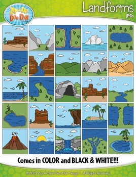
Landforms Clipart {Zip-A-Dee-Doo-Dah Designs}
Enhance your geography or science resources with these Landform clip art graphics. The images would look great on posters around your classroom. You could also use them to create task cards or a matching activity. Students would enjoy coloring the black and white versions as well!
The set includes a total of 50 images (25 Color and 25 B&W). Please see all preview images and list below for all graphics included in this set. The images are high resolution (300 DPI) which means high quality pr
Grades:
PreK - 8th
US STATES & CAPITALS BUNDLE - 3 Word Search & Crossword Worksheet Activities
Review the names and capitals of all fifty states with these no-fuss puzzle worksheets. Always handy to have around, they make great handouts for early finishers or anytime you need a little quiet time. Most kids (and adults) love a good puzzle. They make great no prep activities for early finishers, bell ringers, morning work, handouts, homework, lesson plan supplements, sponge activities, introductions to new topics, and sub files.BONUS RESOURCE: US Cities Word SearchThe puzzles are fairly ch
Subjects:
Grades:
4th - 7th
Types:
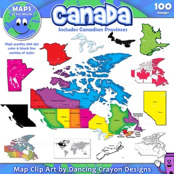
Canada: Clip Art Maps of Canada
Canada: Clip Art Maps
Map Collection: Canada
This is a large clip art set containing maps of Canada along with individual map clip art of each individual Canadian province.
This clipart map set contains the following commercial use graphics:
- Color maps of Canada and each Canadian province
- Labelled maps and blank maps (Provinces labelled with capital cities.)
- Black and white line art maps of Canada and each Canadian province
- Silhouette of the country of Canada and each Can
Grades:
3rd - 12th, Staff
Also included in: Maps of the World Clip Art - MEGA-BUNDLE
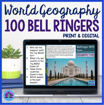
100 Geography Bell Ringers World Geography Bellwork
Are you looking for a way to get students engaged and focused right when they come into class each day? These 100 World Geography Bellringers will reinforce map skills, introduce geographic locations, and review various countries landforms. The questions are also designed to provoke student thought and encourage class discussions.This resource includes 100 Google Slides, directions for implementation, and two worksheet options for students to utilize. There is a print and digital option and the
Grades:
7th - 10th
Types:
Also included in: World Geography Worksheets Activities Bundle
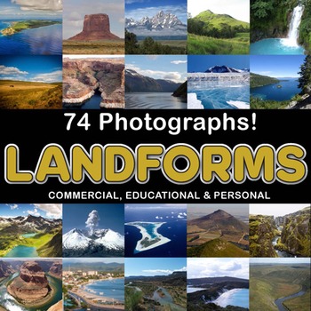
Photos Photographs LANDFORMS clip art
Photographs - Landforms. For sale are 74 beautiful, full color, high quality 300 dpi photographs for commercial, personal and educational use. No credit required to use these images, but it is always appreciated if you do! Why use clip art when you can use images of real objects? Every single image is available for you to use commercially in every one of your products. Buy with confidence! The thumbnail images are watermarked /cropped in the preview / thumbnails but the purchased photographs wil
Subjects:
Grades:
PreK - 12th, Higher Education, Adult Education
Also included in: Complete Photo Bundle
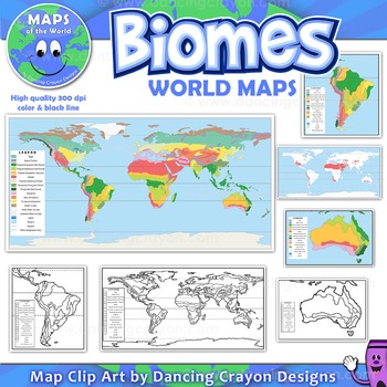
Biomes - Maps of the World and Continents Clip Art
Biomes World MapsHigh quality color and black and white maps of biome regions of the world. This clipart map set contains the following commercial use graphics:- Color maps of the world biome areas- Black and white line art maps of the world biome areas to color (with blank legend / key to also color)- Maps with and without the equator and geographic lines- Maps of continents showing biome regions- Maps of the world showing individual biome regions (for example: maps showing where the worlds tem
Grades:
3rd - 12th, Higher Education, Adult Education, Staff
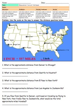
Map Scale (Measuring and Drawing)
There documents require students to use their understanding of map scales to measure distances on a map and to add destinations on a map.
There are 3 documents that use map scale understanding to measure distances across the United States.
2 documents require students to construct their own map using their knowledge of map scales.
Generally I will teach the core knowledge of the benchmark then use one page as classwork, one page as homework, and one page for an assessment.
Subjects:
Grades:
3rd - 8th
Types:
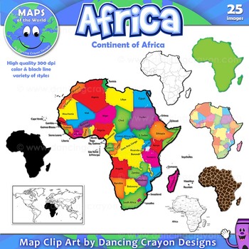
Maps of Africa: Clip Art Map Set
Maps of Africa: Clip Art Map Set
Map Collection: Africa
A colorful clip art set of maps of the African continent.
This clipart map set contains the following commercial use graphics:
- Color maps of Africa (continent)
- Black and white line art maps of Africa (continent)
- Labelled maps and blank maps
- Silhouette of the continent of Africa
- Map of the world with Africa highlighted
- Africa shapes in a variety of styles including giraffe, zebra, and tiger prints.
See pre
Grades:
3rd - 12th, Staff
Also included in: Maps of the World Clip Art - MEGA-BUNDLE
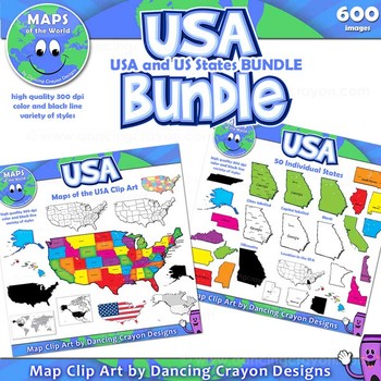
Maps of the USA and US States - Clip Art BUNDLE
A huge collection of clip art maps of the USA and the 50 US states! 600 images!This set combines our maps of the USA with our maps of US states clip art sets in a money-saving value pack.Includes a variety of styles of maps from bright and colorful to black and white line art. Both labelled and blank. Perfect for creating projects and worksheets.This clipart map set contains the following commercial use graphics:- Black and white line art maps of the United States of America- Colorful c
Grades:
3rd - 12th, Staff
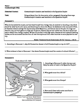
Byzantine Empire - Constantinople Mini DBQ
Resource includes four primary and secondary sources about the role of Constantinople in the Byzantine Empire. The emphasis is on how Constantinople's location made a strategic military and economic asset to the Byzantine Empire. Include a page for brainstorming, outlining, and sentence starters for writing. This resource was originally taught to a 9th grade world history course, and is great for students who are just starting to write DBQs.
Subjects:
Grades:
7th - 10th
Types:
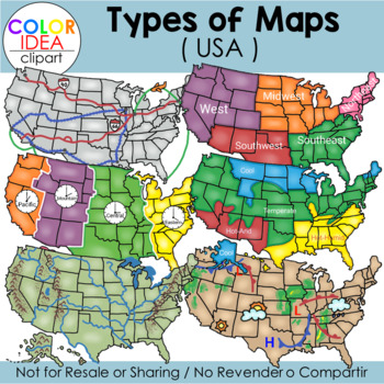
Types of Maps - USA
This set contains 39 images, wich includes 18 color images and 21 black line versions as shown on preview pages. Images saved at 300 dpi in png files.Included in this set:-Political map-Physical map-Landform map-Historical map (USA territorial acquisitions)-Weather map-Climate zone map-Time zone map-Regions map-Transportation map-USA contour map (2 colors)-Compass rose (2 styles)-3 different examples of maps scales-Elevation model-Contour elevationPLEASE NOTE: These are not exact maps, are gr
Grades:
PreK - 12th, Staff
Also included in: USA Maps - BUNDLE
Panama Canal Reading Comprehension Worksheet Central America
This passage briefly describes the Panama Canal. 14 questions (identify and multiple choice) assess students' understanding. I've included a color and black and white version, as well as the key. Includes:Article 14 questions (identify and multiple choice)Color and BW VersionsKey*I do my best to make sure I do not have typos, but occasionally they slip through. PLEASE message me and I will correct it quickly to ensure my product meets your expectations. Thanks!!*If you don't already, Follow Me
Subjects:
Grades:
5th - 7th
Types:
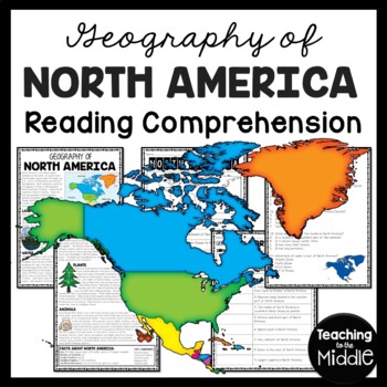
Geography of North America Reading Comprehension Worksheet Continent Studies
This passage briefly describes the geography of North America. Students label a map and answer 14 questions (identify and multiple choice) to assess their understanding. I've included a color and black and white version, as well as the key. Includes:Article Map14 questions (identify and multiple choice)Color and BW VersionsKeyPart of my CONTINENTS OF THE WORLD BUNDLE*I do my best to make sure I do not have typos, but occasionally they slip through. PLEASE message me and I will correct it quick
Subjects:
Grades:
5th - 7th
Types:
Also included in: Continents of the World Reading Comprehension Worksheet Bundle
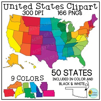
United States Map Clipart | States and Capitals | US Regions
Make creating state reports or activities that help students memorize the states and capitals easy with this set of brightly colored United States clipart! You get a total of 166 state shapes and maps of the U.S. The images can be used in so many ways! Create flashcards, map quizzes, states and capital worksheets. Use to create digital resources such as Boom Cards or Google Slide state reports. Perfect for social studies classrooms or for teaching US geography. All images come in 300 DPI PNG f
Grades:
3rd - 8th, Higher Education
Showing 1-24 of 12,255 results


