203 results
Elementary geography outlines under $5
Bubonic Plague The Black Death PowerPoint Slides Outline Notes & YouTube Videos
This was recently re-mastered to be AWESOME! This PowerPoint has some fantastic visuals of the black death/bubonic plague. It also shows the spread of the disease throughout Medieval/Feudal Europe with a great map. There are several key questions that encourage discussion. This PowerPoint is sure to grab your student's attention!The last slide has 2 YouTube links from the History Channel, including a fun song that my class thought was hilarious.We also have an Oh Rats! Black Death storyboard pos
Grades:
5th - 9th
SOLAR & LUNAR ECLIPSE 2024 ACTIVITY KINDERGARTEN HATS CRAFT SUN MOON EARTH CROWN
SOLAR AND LUNAR ECLIPSE CRAFTS: HAT CRAFTS OF THE SUN, EARTH AND MOON IN COLOR AND BLACK AND WHITEAre you looking for fun eclipse activities to engage young learners and help them better understand what goes on during an eclipse? This crafts pack is a must have! It contains three hat templates of the sun, Earth and moon, both in color and bw. These hats/ headbands could also be used throughout the rest of the year for other science lessons!Kids will love making and wearing these hats for ecli
Subjects:
Grades:
PreK - 2nd
Types:
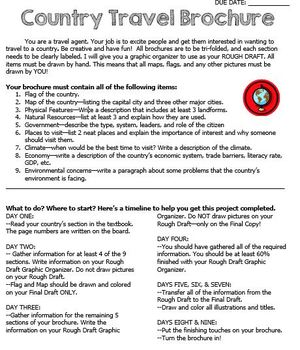
Country Travel Brochure Project
This is a fun project activity where students create a travel brochure for a chosen (or teacher-assigned) country. This project works well because the students know exactly what information that they need and where to put it on the brochure. It makes researching so much easier for everyone! There are directions, a brainstorm sheet, and a rough draft graphic organizer. I like the students to complete the final draft on large white construction paper, but the rough draft graphic organizer could be
Grades:
4th - 12th
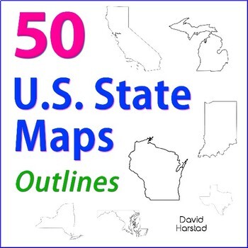
GEOGRAPHY | 50 U.S. State Maps Outlines (K-12)
GEOGRAPHY | 50 U.S. State Maps Outlines (K-12). Map outlines for all American occasions: history, physical, political, or specialty. Ideal for reports, labeling, or patriotic projects. Unfortunately, maps will not create a scaled puzzle. Preview same as Download.About the collection:Files are 8.5" x 11" in PDF & PNG. Product purchase is for organizational services. Maps are compiled from various free online sources and clarity is not always consistent. Please view Preview to see if maps mee
Grades:
K - 12th
Types:
Also included in: Top 20 Best Sellers
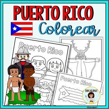
Puerto Rico
This is a .pdf file with 12 coloring pages. It include all pages shown on the preview. The images are:1. Puerto Rico cover coloring page2. Flag - La bandera3. Map - el mapa de Puerto Rico4. Flag in map form - bandera con la forma del mapa5. Race - nuestra raza6. Old San Juan "La garita"7. National flower "La maga" - Flor "La maga"8. Music instruments - instrumentos musicales9. National dance "La plena" dancers10. National dance " La bomba" dancers11. "Vejigante"12. "Vejigante" mask - máscara ve
Subjects:
Grades:
PreK - 12th
Also included in: Puerto Rico Coloring Bundle
VETERANS DAY CRAFT CROWN ACTIVITY HAT TEMPLATE CRAFTIVITY KINDERGARTEN HEADBAND
VETERANS DAY CRAFT FOR KINDERGARTEN, 1ST GRADE AND MORE (NOVEMBER CRAFT ACTIVITY)Are you looking for fun 'Veterans Day' activities? You've come to the right place! Kids will love making and wearing this hat on 'Veterans Day'! This resource contains a cute hat template, both in color and bw. Simply choose the most adequate template for your class (color/ bw), print and go! Children can look at the colored template to color their own hat. After the kids have colored their hat, cut out and sta
Subjects:
Grades:
PreK - 3rd
Types:
Also included in: JUNE CRAFT KINDERGARTEN CROWN HAT ACTIVITY COLORING PAGE HEADBAND ART
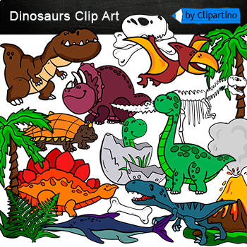
Dinosaurs Clip Art Commercial use
Cute Dinosaur Clip Art Commercial use/ Dino Clipart includes: fern * dino egg* volcano* Bones with skull Dinosaur* bone *dinosaur skeleton* ankylosaurus* apatosaurus* ichthyosaurus* pterodactyl* stegosaurus* triceratops* tyrannosaur* tyrannosaurus rex *tyrannosaurus rex.Download preview with free clipart inside license included!All18 png files transparent background+jpgand 17 png black-white coloring outlines files+jpgFor personal and small commercial use!!!! See more animals clipartDinosaurs of
Grades:
PreK - 12th, Higher Education, Adult Education, Staff
California Regions Research, Writing, Activity Pack
I like to have fun teaching my students about our state regions. We live in California, but this pack could work for other states as well.
What's included in this product:
*Region Questions (2 pages): Students can research the different regions and record information about the climate, seasons, animals, plants, adaptations, famous landmarks, cities, and latitude/longitude.
*Regions Mini Book (5 half pages and one fill in): Students can record 5 fun facts about the regions.
*Region Postcard
Subjects:
Grades:
3rd - 5th
Types:
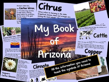
Arizona Information Guide
Need help teaching the symbols of Arizona? Here is all the information you need.Guide includes information on the state flag, tree, flower, bird and the 5 C's of Arizona (cattle, citrus, climate, copper and cotton).Don't forget to download the student booklet! Check out my store, Making Mountains Out of Molehills.
Subjects:
Grades:
K - 2nd
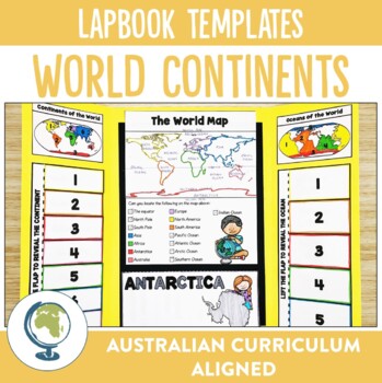
Continents of the World Lapbook Templates
What fun and innovative way are you exploring the Continents of the World this year? Why not try these lapbooks? They make a cute and engaging addition to any unit studying our worlds continents, as well as providing comprehension and note-taking practise for your students.Through these lapbooks students will explore:☆ Identification of the 7 continents of the world, ☆ Identification of the 5 oceans of the world, ☆ Mapping Skills, ☆ Individual continent research If you liked the look of this res
Subjects:
Grades:
2nd - 4th
Types:
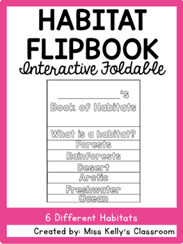
Habitat Flipbook
This habitat flipbook includes 8 pages. Each page has parts where students will fill in different information about what a habitat is as well as 6 example habitats. Each habitat page also includes a picture of the habitat for students to color. The booklet was made to accompany the BrainPOP Jr. habitat videos. The pages included are:
Title Page
What is a habitat?
Forest
Rainforest
Desert
Arctic
Freshwater
Ocean
To put the flipbook together cut along the dotted gray lines. Align the pages shor
Subjects:
Grades:
1st - 2nd
Types:
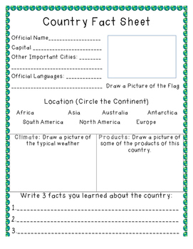
Country Fact Sheet
A fact sheet that can be used as students research countries of the world. Includes space for students to write the official name, capital, important cities, official languages, flag, climate, products, and three facts.
Subjects:
Grades:
1st - 7th
Types:
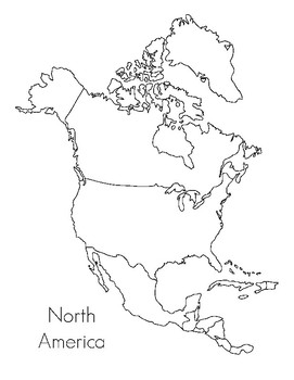
North America Map- Montessori
This is a map that goes along with the Montessori maps for North America. It can be used as a coloring sheet or for the child to write the country names in and be part of a child made atlas. Can be used just by itself if you do not have the Montessori Maps.
Subjects:
Grades:
PreK - K
Types:
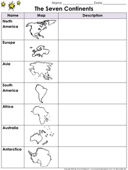
Continents Graphic Organizer: The Seven Continents - King Virtue's Classroom
Continents Graphic Organizer: The Seven Continents - North America, South America, Europe, Asia, Africa, Australia, and Antarctica - King Virtue's Classroom
Starting your Map Skills unit? Help your students get off to a great start with this simple The Seven Continents (North America, South America, Europe, Asia, Africa, Australia, and Antarctica) graphic organizer.
Looking to engage your students? Start off with a research project on the continents. Allow students to use various reference re
Subjects:
Grades:
2nd - 8th
Also included in: Social Studies MegaBundle - King Virtue's Classroom
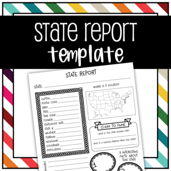
United States State Report Graphic Organizer Template
Use this graphic organizer to research a state.Record your chosen states population, location, landmarks, interesting facts, tree, flower, bird, terrain, historical events, and more in an organized way.
Subjects:
Grades:
1st - 5th
Geography | 110 Maps | USA & World Outlines (K-12)
Geography | 110 Maps | USA & World Outlines (K-12).Travel the world from the luxury of a school desk and be the envy of Columbus himself. Maps for all social studies occasions: USA, world, ancient cultures, history, physical, political, and specialty.• Maps 8.5x11" in PDF & PNG. (Resize PNG images or outline in Sharpie for any blur issues.) Maps sold "as is".• Career-long maps travel nicely bewteen grade levels.• Outline format allows for teaching geography your way.This listing is part
Grades:
K - 12th
Types:
Also included in: ELA Bundle (4-6th)
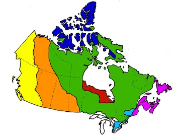
Canada's Physical Regions (maps)
This is one of few digital map resources out there for Canada's Physical Regions. This PDF is a collection of 9 maps, including:
- map of all 7 physical regions (individually coloured)
- 7 maps, 1 for each region (region is coloured; remainder is blank)
- blank map of all 7 regions (no colour)
Grades:
4th - 6th
Types:
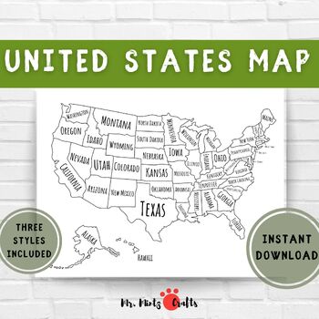
United States Map Coloring Page Printable | US Map for Coloring for Kids
Looking for an engaging and educational tool for your child? Look no further than this exciting outline map of the United States! Designed to make learning about the geography of the US a fun experience, this map can be used by children of all ages to explore and learn about the different states. Let your child use their imagination to color and label each state, providing them with an interactive and hands-on learning experience.But that's not all! This map can be used in a variety of education
Subjects:
Grades:
PreK - 2nd
Canada Geography, History, Projects - 40 Canada Map Outlines (K-12)
Canada Geography, History, Projects | 40 Canada Map Outlines (K-12). More exciting than Tim Hortons' soup of the day. Map outlines for all Canadian occasions: statistics, physical, political, and provinces. Ideal for reports, labeling, or patriotic projects. Teach geography your way! About the collection: Maps 8.5" x 11" in pdf & png. Resize png images or outline in Sharpie for any blur issues. Maps sold "as is". Product purchase is for organizational services and maps are compiled in go
Grades:
K - 12th
Types:
Australia: 32 Australia Maps & Outlines
Australia: 32 Australia Maps & Outlines (K-12). More exciting than surviving a night hike through the Coober Pedy opal fields, these map outlines are suitable for Australian curriculum: history, reports, labeling, or patriotic projects. About the collection: Maps are 8.5 x 11" in pdf & png. Resize images or outline in Sharpie for any issues. Maps sold "as is". Product purchase is for organizational services and compiled in good faith from sources presented as free for public use, CC0,
Grades:
K - 12th
Types:
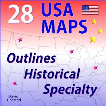
GEOGRAPHY | 28 USA Maps - Regions of the United States
GEOGRAPHY | 28 USA Maps - Regions of the United States. Now gas station attendants can ask you for directions. Maps for all social studies occasions: USA, history, physical, political, and specialty. Teach geography your way! Preview same as Download. About the collection:Maps 8.5 x 11" in PDF & PNG. Maps are compiled in good faith from various free sources. Please preview to see if maps meet your quality standards. Resize PNG images or outline in Sharpie for any clarity issues. Maps sold "
Grades:
K - 12th
Types:
Also included in: Geography Bundle
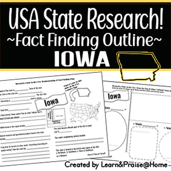
IOWA State Research Report: Brainstorm & Fact Page Outline | SOCIAL STUDIES
Do you need a way to help your students wrap up their study of the USA state of Iowa? This brainstorming and fact finding page will help guide students to fun facts about many of the "official state items" & basic facts of this state (state bird, year of statehood, marking the location on the USA map provided, & more)! Plus, they will have the chance to show off their drawing skills on the second page that allows them to draw in the state flag along with 3 "official state items" of the
Grades:
3rd - 5th
Types:
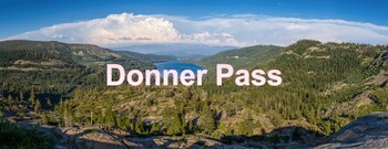
Donner Pass & Facing Winter Challenges
Part of my "Where Nature Gets in the Way" unit.Includes a pdf of the slides for the entire Donner Pass lesson, a guided notes sheet (with key), and a worksheet with questions to have students thinking at a higher depth of knowledge (also with key).Text is most suited to a Geography class, however, it also can fit lessons in U.S. History quite easily.
Subjects:
Grades:
5th - 11th
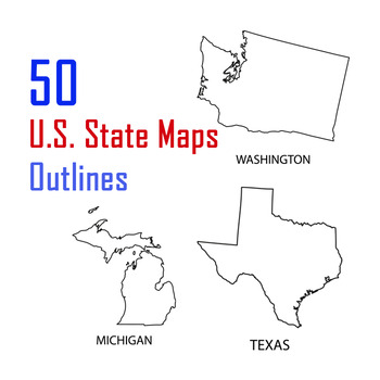
US State of America Maps Tracing Names, Geography, 50 U.S. State Maps Outlines
US State of America Maps Tracing Names, Geography, 50 U.S. State Maps OutlinesUnited States Maps Clipart Set - 50 pieces of clip art in a pack or bundle for your worksheets or educational resources. All images or pictures are high resolution so you can have large illustrations of them and they'll still be clean and beautiful.Images are in PNG format with a transparent background (there aren't white areas around the outside edge - check the second preview thumbnail to see what parts are transpare
Grades:
K - 12th
Types:
Showing 1-24 of 203 results


