390 results
High school geography homeschool curriculum pdfs
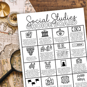
Social Studies Choice Board: Project-Based Independent Learning
Keep their brains active and get them engaged in their learning with this project-based Social Studies choice board! These projects will activate prior knowledge and motivate students to seek out new skills they have not yet mastered.This choice board includes sixteen project choices that involve multiple real-life social studies applications, including:physical geographyculturehistory current eventsgovernment and politicslandmarkssymbologyeconomicsIt's up to you to decide how to use this choice
Subjects:
Grades:
6th - 10th
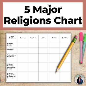
World Religions Chart for 5 Major Religions and Cultural Geography
This world religions chart helps teach students about the 5 major religions that are popular around the world. Students complete this chart & write descriptions of each of the 5 Major Religions (Islam, Buddhism, Christianity, Hinduism, Judaism). This is great for helping all students access grade level content!There are many options for how to use this chart. You can assign students to complete the chart using notes or the Internet, you can complete the chart as a whole class notes activity,
Subjects:
Grades:
8th - 11th
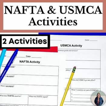
Scaffolded NAFTA and USMCA Activities for Social Studies
Students will learn about the purpose of NAFTA (North American Free Trade Agreement) and USMCA (United States-Mexico-Canada Agreement). This scaffolded activity simplifies USMCA's and NAFTA's purpose and policies and helps all students access grade level content! This resource has been updated to include an activity for USMCA, the United States-Mexico-Canada Agreement, which replaced NAFTA in 2020. Evaluate the United States' economic policy with these USMCA and NAFTA activities. TEACHERS LIKE Y
Grades:
7th - 10th
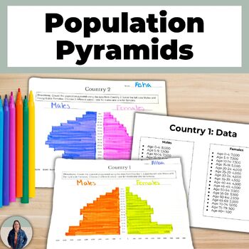
Create a Population Pyramid Project for Geography Population Growth and Decline
Are you looking for practice creating population pyramids? Then this is for you! These scaffolded population pyramids are great for helping all students access grade level content! Students are given two countries' population data to make a population pyramid. They will also create their own population for a country and can create a population pyramid using their data or switch with a peer and complete each others.This is a no-prep project! Just print and go! Students will make 3 population pyra
Grades:
8th - 11th
Asia Unit Bundle (Geography) South Asia, East Asia, Southeast Asia
Asia Geography Unit Bundle: This bundle includes PowerPoints, Virtual Field Trips, Video Guides, Graphic Organizers, a Technology Based Activity, Charts, a Unit Study Guide, a Unit Test, detailed Cornell Notes, and more. Unit Plan / Overview Included!This Bundle is the basis for my unit lessons covering Asia. All Bundles from High Altitude History save you an additional 30% off the retail price.These notes and activities are also sold in separate bundles. Check them out below!South Asia, East As
Subjects:
Grades:
9th - 12th
CCSS:
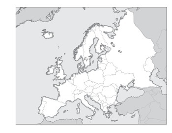
Physical Geography of Europe Worksheet - Map Labeling
Students are asked to label a variety of physical features on a blank map of Europe. Included:
Alpine Mountain System
Iberian, Scandinavian, and Balkan Peninsulas
Seas and Oceans
Rhine and Danube Rivers
Northern European Plain
and many more
Grades:
3rd - 12th
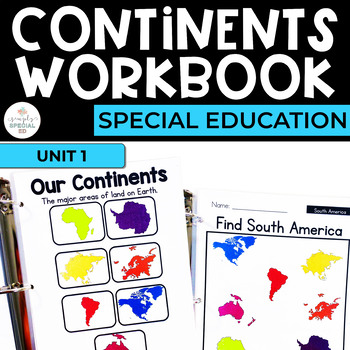
Continents: Geography Workbook for Special Ed
Simple Social Studies: Continent Workbook for Special Education Use this workbook in your classroom to reinforce basic Geography skills and provide table top learning opportunities. Use these in a laminated binder with a dry erase or as print and go worksheets to encourage identification of pictures and words and build independence. This unit focuses on identifying continent words and matching word to picture. INCLUDES 40+ WORKSHEETS: + Circle the word+ Trace the word+ Write the word+ Matching p
Grades:
5th - 12th
Also included in: Geography Workbooks Bundle for Special Ed
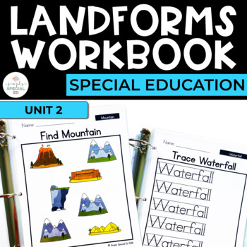
Landforms: Geography Workbook for Special Ed
Simple Social Studies: Landform Workbook for Special Education Includes 20 landforms! Use this workbook in your classroom to reinforce basic Geography skills and provide table top learning opportunities. Use these in a laminated binder with a dry erase or as print and go worksheets to encourage identification of pictures and words and build independence. This unit focuses on identifying landform words and matching word to picture.INCLUDES 130+ WORKSHEETS: + Circle the word+ Trace the word+ Write
Subjects:
Grades:
5th - 12th
Also included in: Geography Workbooks Bundle for Special Ed
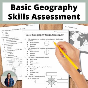
Basic Geography Skills Assessment on Map Skills and Continents and Oceans
This adapted assessment is on basic geography skills, such as labeling a compass rose, continents, and oceans. The geography assessment is 20 questions and can be used to demonstrate student knowledge. This has been adapted to better support English language learners and special education students in social studies classes.This is great for helping all students access grade level content! You can use this as a pre- and post- assessment to demonstrate student growth. An answer key is provided. In
Grades:
8th - 11th
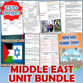
Middle East Unit Bundle (Geography)
Middle East Geography Unit Bundle / North Africa, Southwest Asia, and Central Asia Unit Bundle. This bundle includes detailed Cornell Style Lecture Notes, Graphic Organizers, Charts, PowerPoints, Diagrams, Virtual Field Trips, a Writing Assessment, a Research Based Activity, a Unit Study Guide, a Unit Test, and more. Unit Plan / Overview Included!This Bundle is the basis for my unit lessons covering the Middle East. All Bundles from High Altitude History save you an additional 30% off the reta
Grades:
7th - 12th

World Adventures: Brazil
The Brazil Unit Study is a comprehensive lesson for the classroom or homeschool. With over 120 pages of information about Brazil, topics covered include: Map it!, Speak it! (which includes sound bites), Culture, Sports, Food, and Science and Nature. Included in the Brazil Unit Study are: lots of information organized by topic, detailed teaching notes, lots of vibrant photos, games, and hands-on activities. Kids will immerse themselves in the Brazilian culture. The lessons culminate in a perso
Grades:
1st - 9th
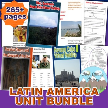
Latin America Unit Bundle (Geography)
Geography: Latin America Unit Bundle: This bundle includes detailed Cornell Style Lecture Notes, Activities, Graphic Organizers, Charts, Diagrams, Virtual Field Trips, a Writing Assessment, a Research Based Activity, a Unit Study Guide, a Unit Exam Study Guide, a Unit Test, and more. Unit Plan / Overview Included!This Bundle highlights my lessons, activities, lectures, and assessments covering Latin America. All Bundles from High Altitude History save you an additional 30% off the retail price.
Grades:
7th - 12th
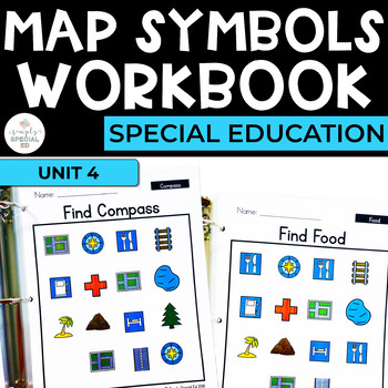
Maps: Geography Workbook for Special Ed
Simple Social Studies: Map Symbols Workbook for Special Education Includes 14 map symbols! Use this workbook in your classroom to reinforce basic Geography skills and provide table top learning opportunities. Use these in a laminated binder with a dry erase or as print and go worksheets to encourage identification of pictures and words and build independence.This unit focuses on identifying map symbols and matching word to picture.INCLUDES 130 WORKSHEETS:+ Circle the word+ Trace the word+ Write
Subjects:
Grades:
5th - 12th
Also included in: Geography Workbooks Bundle for Special Ed
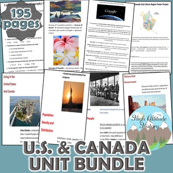
United States & Canada Unit Bundle (Geography)
United States and Canada Geography Unit Bundle: This bundle includes detailed Cornell Style Lectures, Activities, a Technology Based Project, a Research Based Activity, a Unit Study Guide, a Unit Test, and more. Unit Plan / Overview Included!This Bundle is the basis for my unit lessons covering the United States and Canada. All Bundles from High Altitude History save you an additional 30% off the retail price.These notes are also sold in a separate bundle. Check them out below!U.S. & Canad
Grades:
7th - 12th
CCSS:
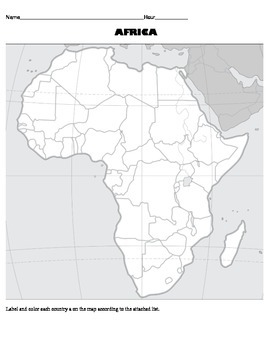
Africa Map Activity Worksheet - Political Geography of Africa
This is a blank political map labeling activity for students to complete using an atlas. There is also an attached list of countries with guidelines for which colors to use when labeling/coloring the countries.
Subjects:
Grades:
3rd - 12th
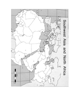
Map Worksheet North Africa - Southwest Asia - Physical Geography of Middle East
This is a physical map labeling activity for North Africa, Southwest Asia, and Central Asia. Students will locate major bodies of water, mountain ranges, and other physical features of the region.
Subjects:
Grades:
4th - 12th
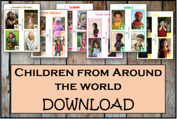
Children From Around The World - Montessori
As children work with these cards, they'll discover fascinating details about the lives and histories of people around the world. These Montessori-inspired children around the world cards will be a good fit to any classroom.This Montessori material is a part of peace education. The material consists of series of cards showing children of different nations, nationalities and races around the world. Each card contains a small map of the continent. There are 54 cards in the Download.
Subjects:
Grades:
PreK - 12th, Higher Education, Adult Education, Staff
Africa Unit Bundle (Geography)
Africa (Geography) Unit Bundle. This Unit Includes Detailed Cornell Notes, Video Guides, PowerPoints, Charts, Virtual Field Trips, Graphic Organizers, Charts, Diagrams, a Unit Study Guide, and a Unit Test. Unit Plan / Overview Included!This Bundle is the basis for my unit lessons covering Africa. All Bundles from High Altitude History save you an additional 30% off the retail price.These notes are also sold in a separate bundle. Check it out below!Africa Cornell Notes Bundle
Grades:
7th - 12th
CCSS:
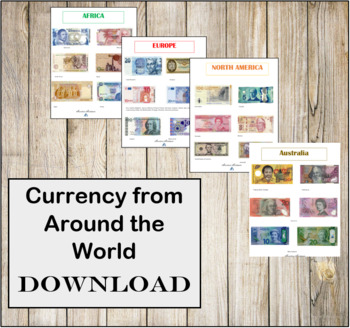
Currency from Around the World- Instant Download- Montessori
CURRENCY FROM AROUND THE WORLD INSTANT DOWNLOAD.There are 6 individual high resolution photos of different banknotes for countries around the world! This is a great addition to any Continent bag or Continent box. These photos are in regulations with the Department of Treasury for printing.
Subjects:
Grades:
PreK - 12th, Higher Education, Adult Education, Staff
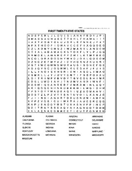
Fifty States Word Search
United States word search. Fifty states broken down in two puzzles.
Subjects:
Grades:
4th - 12th, Higher Education
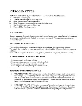
Nitrogen Cycle, Nutrition in Animals and Ecology
This is a teaching lesson note that is highly self explanatory to students and will be useful in teaching Nitrogen cycle, Nutrition in Animals and Ecology with contents of local biomes in found in Nigeria a country in West Africa.
Subjects:
Grades:
10th
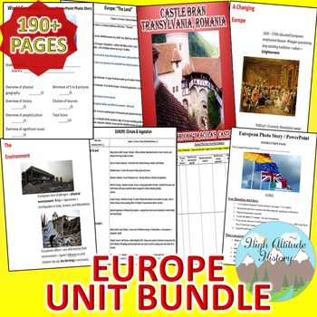
Europe Unit Bundle (Geography)
Geography: Europe & Culture Unit Bundle: This bundle includes Activities, a Writing Assessment, a Research Based Activity, a Virtual Field Trip, a Photo Project, Charts, Graphic Organizers, a Unit Study Guide, a Unit Exam Study Guide, a Unit Test, and more! Unit Plan / Overview Included!This Bundle is the basis for my unit lessons covering Europe. All Bundles from High Altitude History save you an additional 30% off the retail price.These notes and activities are also sold in separate bu
Grades:
7th - 12th
CCSS:
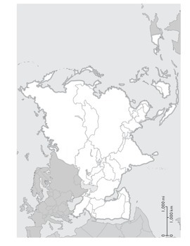
Physical Geography of Asia Worksheet : Map Labeling Activity
This is a two page map labeling activity for Asia. Students are asked to label different bodies of water, rivers, mountains, deserts, and other landforms. They are also asked to define terms like archipelago, rain shadow, and peninsula. It would most likely take one class period to complete.
Grades:
4th - 9th
The Age of Pirates
Ahoy! Embark on a fascinating historical study of the Golden Age of Piracy in this brand new mammoth unit (over 100 pages!).We’ve all seen pirates in works of fiction and pop culture but what was the age of pirates really like? You’ll dig into it all in this study geared for ages 10-15 (I’m using it with my 16 year old too!). Some of the topics you’ll explore are: Privateering vs Piracy Geography of Piracy Day in the Life of a PiratePirates and Democracy Notorious Pirates of the Golden Age Navig
Grades:
5th - 10th
Showing 1-24 of 390 results


