19 results
Free geography resources for Microsoft Publisher
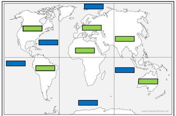
Continents and Oceans match up jigsaw
This resource is comprised of a blank world map divided into 6 sections for you to cut into 6 jigsaw pieces. The idea was that the children could first see if they could correctly assemble the world map first without any guidance.There are then labels for the children to correctly match up the oceans (blue labels) and continents (green labels).
Subjects:
Grades:
1st - 4th
Types:
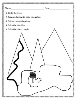
Landforms Identification Assessment
This is an editable document using Microsoft Publisher. It assesses the students ability to identify a river, a valley, a mountain, a lake, and an island.
Subjects:
Grades:
K - 2nd
Types:

Where in the world are we located?
This is a student booklet that teaches them exactly where they live. It starts by locating contintents, then country, region, state, state region, county, and city or town. You can change the local pages to meet your own needs.
Subjects:
Grades:
2nd - 5th
Types:
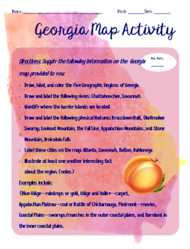
Georgia Geography Map Activity (SS8G1)
Map activity for Georgia Studies students. Includes major cities, rivers, regions of Georgia, and major geographical features as required by the GSE standards. Activity can be modified for any other state/region of study.
Grades:
8th
Types:

Map Template
This is a blank grid map that can be used for creating your own map. This would work well for a map of your town or community. Grades k-3 can use this simple map template.
Subjects:
Grades:
K - 3rd

Plan A Vacation in Indiana
This project can be adapted to meet the social studies standards of other states, but is created for the state of Indiana. Students choose a vacation destination as well as two historical stops in Indiana. They plan their trip using many resources including brochures, mapquest, their text book, and more! This project incorporates social studies, health, math, reading, and writing standards! The final product will be a scrapbook created by each student that hightlights the important parts of In
Subjects:
Grades:
3rd - 5th
Types:
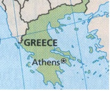
Rome, Egypt, and China Rhyme
This is a sample of a lesson anticipatory set. It incorporates the language arts and still leaves room for the teacher to take the lesson whichever way they would like it go. A short rhyme helps students locate Greece on a map. This focus is a result of VA SOL grade 2-3, Geography.
Subjects:
Grades:
2nd - 3rd
Types:
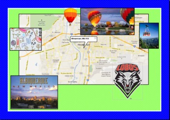
Map My World
This computer technology project is great for Powerpoint, Publisher, or KidPix. It is a good way to introduce Social Studies while teaching students how to insert clip art, insert text box, word art, etc. I read Me on the Map with my students prior to doing this in the computer lab.
Subjects:
Grades:
1st - 3rd
Make a Treasure Map
Teaching your students about maps? Allow them to create their own treasure maps! Space for a key is provided.
Subjects:
Grades:
K - 2nd
Types:
Beginning of the year Passport
This is a get to know the student activity that I have used with my 5th grade students. I have uploaded a publisher file to that you can edit for your own needs. I hope you enjoy!
Subjects:
Grades:
3rd - 12th
Types:
Directional (N, S, E, W) Cards
North, South, East, West directional cards to hang in your classroom.
Subjects:
Grades:
PreK - 12th
Types:

Weather cards
Different size weather cards for rainbow, sun, rain, wind, snow, thunderstorm.
Subjects:
Grades:
PreK - 3rd
Types:
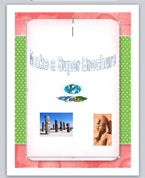
A super brochure (in Publisher)
As part of the grade 3 language curriculum, students will learn how to write/create an effective brochure. Can be adapted/modified for different grades. This could be used as part a geography, Science or Social Studies unit.
Assessment: written- ideas/research, oral- presentation.
Enjoy!
Grades:
3rd - 6th
Types:

Australian Map Labels Geography HASS Vocabulary FREE
Some very simple vocabulary labels I created for use in Australian Geography lessons. Match the city to the state, or you could print two copies and use them them in a memory game.
Grades:
K - 6th
Types:
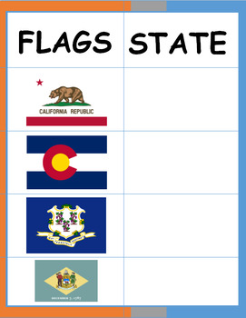
States of the USA (Flags) Activity Sheet
This activity will help you to memorize the flags of each state of USA (Flashcards of flags coming soon).
Subjects:
Grades:
5th
Types:

India labelling and shading worksheet
Help your children label some geographical features of India, and it's surroundings.
Subjects:
Grades:
Not Grade Specific
Types:

Locating and naming famous volcanoes
This was used with a year 3 class, we were locating and naming the famous volcanoes in the world. It has been differentiated 3 ways- highers have to locate and name the volcanoes, middles have to locate and name them from the arrows and lowers have to write in key facts using the factfiles. This can be adapted for different abilities.
Subjects:
Grades:
3rd
Types:


World Religion Facebook Page
Gives students a format to create a facebook for various world religions
Grades:
6th - 12th
Types:
Showing 1-19 of 19 results


