11,000+ results
Kindergarten geography resources for Gifted and Talented under $5
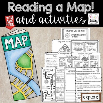
Map Skills- Reading a Map and Activities
✅⭐️Are you studying maps in your primary classroom? If so, then you will love this all inclusive NO PREP set! Not only does it go over cardinal directions and how to read a map, it also reviews parts of a map such as the map key, title, and compass rose. It is a perfect lesson to include in your social studies geography unit!⭐Please know that this resource is a PDF. It is great for distance learning if you are sending home packets or are able to transfer it to Google Slides™ to use in Google Cla
Subjects:
Grades:
K - 5th
Types:
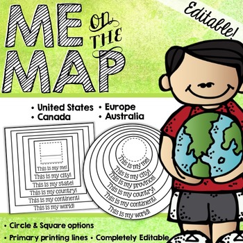
Me on the Map Circle Book {EDITABLE!}
This EDITABLE Me on the Map book is a great way for your students to understand about their place in the world!___________________________________________________________________________Included are both PRINTABLE and EDITABLE forms. THE EDITABLE VERSION OF THIS PRODUCT IS A POWERPOINT DOCUMNENT. YOU MUST HAVE POWERPOINT IN ORDER TO EDIT THIS PRODUCT.___________________________________________________________________________THIS PRODUCT INCLUDES: - Circle Books with blank spaces- Circle Books wi
Subjects:
Grades:
K - 4th
Types:
MAPS - How to Use a Map - Mapping Unit for Kindergarten and First Grade
Teach your students all about maps with this adorable, hands-on unit. We learn about using directional words with a compass rose, how to use map grids (find square A2, C3, etc.) how to make your own map, where we live on the map, how to find specific places on town maps and more! THESE MAP ACTIVITIES ARE INCLUDED IN MY ALL ABOUT EARTH UNITPlease do not purchase this listing if you already own Unit 8 All About Earth.--------------------------------------------------------------------------------
Grades:
K - 2nd
Types:
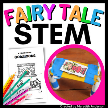
Goldilocks STEM Activity - Goldilocks and the Three Bears STEM Design a Bed
Goldilocks and the Three Bears STEM: Design a New Bed for Goldilocks! What do you get when you combine fairy tales and STEM? A fun, hands-on STEM tale! This fairy tale with a twist guides students through the engineering design process to create a new bed for Goldilocks. The storybook can be read aloud together. Students will complete it as they work through the STEM activity.⚙️ The STEM Activity ⚙️Your students will help Baby Bear build Goldilocks a new bed of her own! In this story, there is a
Grades:
K - 3rd
Types:
NGSS:
K-2-ETS1-2
, K-2-ETS1-1
, 3-PS2-1
, 3-5-ETS1-3
, 3-5-ETS1-1
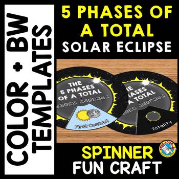
5 PHASES OF A TOTAL SOLAR ECLIPSE 2024 ACTIVITY CRAFT SPINNER SCIENCE PRINTABLE
TOTAL SOLAR ECLIPSE 2024 CRAFTS WHEEL PRINTABLE ACTIVITY (THE 5 PHASES OF A TOTAL SOLAR ECLIPSE SPINNER CRAFTIVITY)Are you looking for fun Total Eclipse activities? Kids will love making and spinning this eclipse crafts wheel/ spinner. This craft wheel is a fun way for kids to learn about the 5 phases of a total solar eclipse: First Contact, Second Contact, Totality, Third Contact and Fourth Contact. I have provided 2 versions of the wheel: color and black and white version. Each wheel con
Subjects:
Grades:
PreK - 6th
Types:
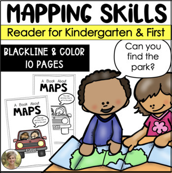
Mapping Skills Reader for Kindergarten and First Grade Social Studies
Teaching mapping skills to your students? Need to help them understand key vocabulary: map, symbols, key, cardinal directions and compass rose? Grab this reader perfect to generate talks and discussions about what maps are and how they help provide information!Includes both a blacking version for your students to color and take home! Plus a color version to project and read whole group!Information included in the reader:maps are flatmaps tell information compass rose tells north, south, east and
Subjects:
Grades:
K - 1st
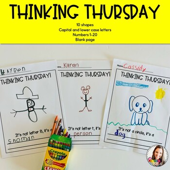
Thinking Thursday
Are you looking for a fun way to get your children thinking outside the box? Try a Thinking Thursday. You can do these whole group, independent practice, or even as morning work. This is a great way to get your kids using their imagination!*Capital and lower-case letters*Numbers 1-20 in 2 different fonts*20 shapes*a blank set with no Thinking Thursday at the top so you can use any day of the week *a set with just lines so students can write their own sentences *1 page to use to create your ownPl
Grades:
PreK - 3rd
Types:
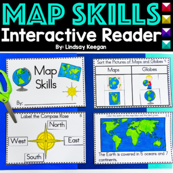
Map Skills Interactive Reader for Maps, Globes, Directions and more
These map skills worksheets are so much fun for young learners. Use this interactive mini-reader to help reinforce your student's understanding of maps, globes, cardinal directions, land, water and more!This map skills book can be used across several lessons and is perfect for whole group, small group or center activities.Each page has information about map skills and tasks for students to complete to help them show their understanding of the topic.Map Skills included in this interactive reader
Grades:
K - 2nd
Types:
Also included in: Interactive Books Bundle Readers for Math, Science and Social Studies
Map Skills - Me on the Map
Map Skills: Me on the map - Hi teachers! Are you beginning to teach your kiddos map skills? Well this unit might be just what you need. There are tons of activities included just take a look below:Vocabulary PostersMaps of the World: Identify ContinentsMaps of the Word: Identify OceansMaps of the World: Identify the Continent you live onDescribe a MapGlobe: Identify Poles, Equator, Continents, OceansDescribe a GlobeCompare and Contrast Globes and MapsSort Maps and GlobesIdentify Neighboring C
Subjects:
Grades:
K - 2nd
Types:
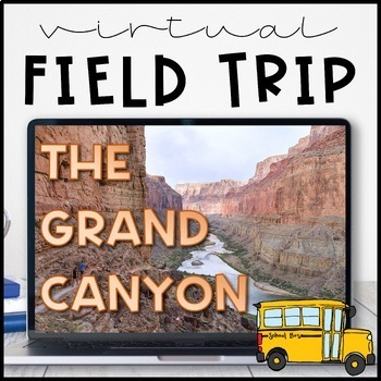
Virtual Field Trip to the Grand Canyon for Geology Science
Virtual Field Trip to the Grand Canyon!Not able to take any trips this fall? Go there virtually! Engaging, no matter the format of instruction, your students will be hooked! Use them as a preview to any science unit OR have the class work towards the reward of 'Field Trip Friday'! NO PREP WORK FOR YOU! Trip is designed for grade K - 5, I included multiple options for certain slides, easy to differentiate, just delete any slides that don't fit your grade level!W H A T ' S I N C L U D E D ?⭐️ Teac
Subjects:
Grades:
K - 5th
Types:
NGSS:
4-ESS1-1
, 3-ESS2-1
, 2-ESS1-1
, 4-ESS2-1
Also included in: THE COMPLETE COLLECTION! Every product in my TPT store - growing bundle!
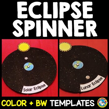
SOLAR AND LUNAR ECLIPSE CRAFTS WHEEL ACTIVITY SPINNER PRINTABLE SCIENCE
SOLAR AND LUNAR ECLIPSE CRAFT ACTIVITY SPINNER SCIENCE PRINTABLE (Perfect for the upcoming annular eclipse on October 14 and the following lunar eclipse)Are you looking for fun solar and lunar eclipse activities? Kids will love making and spinning this eclipse crafts wheel/ spinner. This eclipse wheel is a fun way for kids to visualize the position of the moon in relation to the sun and Earth during solar and lunar eclipses.I have provided 3 versions of the eclipse wheel: color, black and white
Subjects:
Grades:
PreK - 6th
Types:
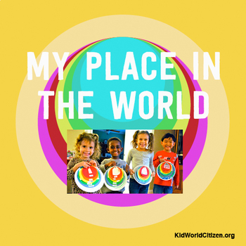
My Place in the World Project: "Me on the Map" Geography for Kids
This hands-on geography project "My Place in the World" has kids create a visual representation of how we fit into the world. Teachers often use it with the kids' geography book "Me on the Map," by Joan Sweeney. Ideal for integrated Social Studies, ELA, Geography, Literacy, and Map Skills.Using a series of nesting circles to show the relative sizes of different geographic places, this simple but effective geography lesson helps kids sort out their relation to one another. This activity includes
Grades:
K - 5th
Also included in: Geography for Kids Bundle: Three Essential Hands-on Activities
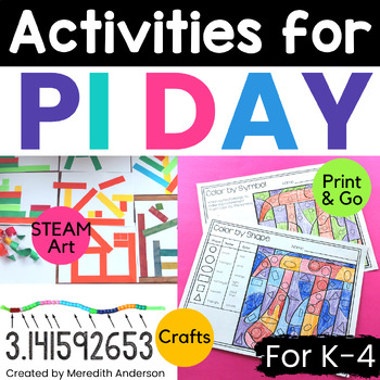
Pi Day Activities ⭕ Circle Math and Art Fun for Elementary ⭕
*BEST SELLER!* Pi Day Activities for elementary? Yes! Even elementary students can understand pi on a basic level and have fun exploring circles! Pi day is March 14th (3/14)! It is such a fun holiday to celebrate math and of course, CIRCLES. Get your MATH on (and art, too) with a variety of worksheets and activities that include circles and pi. Looking for Pi Day activities for upper grades? Head over to Pi Day Pack!✅ What You'll Get ✅What is Pi? Explains pi in a kid-friendly way!Hands-On Pi Exp
Grades:
K - 4th
Types:
Also included in: PI DAY Activities BUNDLE ⭕ Math Fun & More for Pi Day March 14th! ⭕
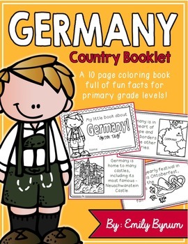
Germany Booklet (a country study!)
This "All About Germany" booklet can be used for a very basic country study in lower elementary grades! Each page contains a basic fact and related illustration. All graphics are in an outline format so that it's ready to be colored like a mini-coloring book.
This coloring booklet gives all the general/basic information about Germany, including:
-geography (in Europe and borders nine other countries)
-German flag
-capital city of Berlin
-popular German foods
-most famous German castle (Neusch
Subjects:
Grades:
K - 3rd
Types:
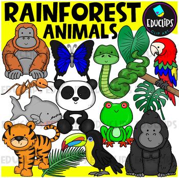
Rainforest Animals Clip Art Set {Educlips Clipart}
This is a set of animals of the rainforest.Images included in this set are:anacondaantgorillabutterflyorangutanpandaparrottoucanpiranhatigerred eyed tree frograinforest leaves32 images (16 in color and the same 16 in B&W)This set has been fully updated.Both the 2014 and 2024 versions have been included in this download.This set contains all of the images shown on the product cover image plus black and white versions of all of the images you can see. No other images are included. Images saved
Subjects:
Grades:
PreK - 2nd
Geography & Map Skills - Reading a Map & Globe Activities & Worksheets
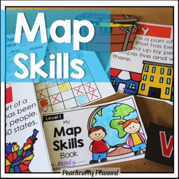
Make teaching mapping skills fun with this map skills mini unit! It covers geography and map navigation basics, including foundational vocabulary; using a compass rose, map key, and simple grid to navigate and read maps and globes; locating continents, oceans, poles, and the equator; and more.Here's what's included:Map Skills Anchor Charts and Vocabulary Cards (map, globe, equator, prime meridian, North Pole, South Pole, latitude, longitude, coordinate, compass rose, key, scale, physical feature
Grades:
K - 3rd
Types:
Zoo Animal Research (K-1)
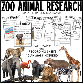
Zoo animals are always a favorite for our younger students and this pack will help your students learn fun and important facts about the most famous zoo animals!Want the BUNDLE for all EIGHT animal habitats? Grab it by clicking below:Animal Research BUNDLEThis FUN pack includes TEN different zoo animals:- elephant- giraffe- monkey- gorilla- lion- cheetah- alligator- hippo- cheetah- flamingoEach animal has their own page with picture and title, box for student illustration, and animal habitat, d
Subjects:
Grades:
K - 1st
Types:
Brazil Booklet (A Country Study!)
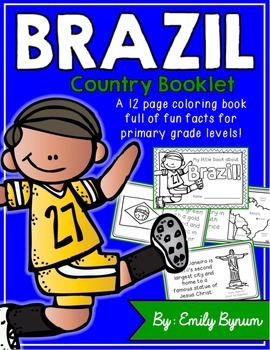
This "All About Brazil" booklet can be used for a very basic country study in lower elementary grades! Each page contains a basic fact and related illustration. All graphics are in an outline format so that it's ready to be colored like a mini-coloring book.
This coloring booklet gives all the general/basic information about Brazil, including:
-geography
-Brazilian flag
-capital city of Brasilia (Cathedral of Brasilia)
-Brazilian foods
-Rio de Janeiro
-Carnival festival
-football (most popular
Grades:
K - 3rd
Types:
Australian Animals Clip Art Set {Educlips Clipart}
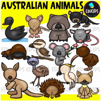
This set contains all of the images shown: animals found in Australia - bandicoot, black swan, cockatoo, dingo, echidna, emu, kangaroo, kiwi, koala, kookaburra, platypus, possum, tasmanian devil, wombat.14 images in color and the same 14 images in B&W.Images saved at 300dpi in PNG files.For personal or commercial use.CLICK HERE for TERMS OF USEThis is a zip file. Before purchasing, please check that you are able to open zip files and ensure that your zip opening software is updated.©Educlips
Subjects:
Grades:
PreK - 6th, Staff
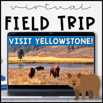
Virtual Field Trip Yellowstone National Park in the Spring
Virtual Field Trip to Yellowstone! Visit America's first national park!NO PREP! Just 'share your screen' and present the slides & videos. ☺Trip is designed for grade K - 5, easy to differentiate based on how many videos you play.GREAT FOR: socially distanced learning, science and social studies supplemental lesson, NO PREP sub plans or as a Fun Friday/Field Trip Friday classroom reward to work towards!!W H A T ' S I N C L U D E D ?⭐️ Teacher directions⭐️ PowerPoint & Google Slides includ
Subjects:
Grades:
K - 5th
Types:
NGSS:
4-LS1-1
, 3-LS4-3
, 2-LS4-1
, 1-LS3-1
Also included in: THE COMPLETE COLLECTION! Every product in my TPT store - growing bundle!
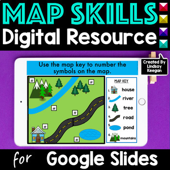
Map Skills Digital Activities for Google Slides
Learning about map skills is super fun when using Google Classroom and Google Slides. In this resource, students have fun identifying, sorting and labeling maps, globes, landforms, bodies of water, cardinal directions and more! These activities can easily be separated and assigned over several lessons.Activities included in these Map Skills Google Slides:- Four slides introducing, sorting, identifying and recognizing uses for maps and globes.- Four slides introducing, sorting, identifying and la
Grades:
K - 2nd
Types:
Also included in: Map Skills Printable and Digital Bundle of Activities
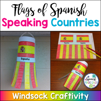
Flags of Spanish-Speaking Countries Windsock Craftivity
This is a coloring activity and windsock craft with the 21 flags of the Spanish-speaking world. Students will follow four simple steps to color, cut and glue these colorful windsock flags. Only five colors are needed: rojo, amarillo, verde, azul cielo, and azul (red, yellow, green, sky blue, and blue). This is a great activity when reviewing Spanish-speaking countries, Hispanic culture, holidays or colors. These windsock templates are available in both color and blackline. Makes a great decorati
Subjects:
Grades:
K - 10th
Also included in: Spanish-Speaking Countries, Capitals, and Nationalities Bundle
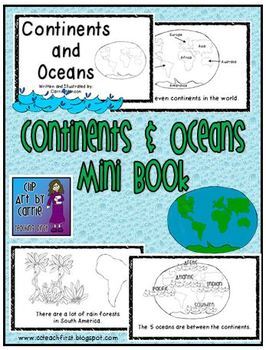
Continents and Oceans Mini Book
This is a first grade friendly emergent reader about the continents and ocean. Students will be able to read one fact about each of the continents and the oceans. Picture clues will help with text.There are 7 continents in the world.North America is made up of mostly 3 big countries.There are a lot of rain forests in South America.There are many small countries in Europe.Asia is the biggest continent.Africa is by Europe and Asia.Australia is called the "Land Down Under".Antarctica is at the So
Subjects:
Grades:
K - 3rd
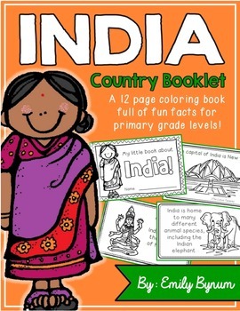
India Booklet (A Country Study!)
This "All About India" booklet can be used for a very basic country study in lower elementary grades! Each page contains a basic fact and related illustration. All graphics are in an outline format so that it's ready to be colored like a mini-coloring book.
This coloring booklet gives all the general/basic information about India, including:
-geography
-Indian flag
-capital city of New Delhi (Lotus Temple)
-Himalayas
-sacred animals (cows)
-monsoons
-cricket (popular sport)
-Taj Mahal
-common
Grades:
K - 3rd
Types:
Showing 1-24 of 11,000+ results

