15,271 results
Not grade specific geography pdfs
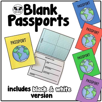
Blank Passport Template
Your students can travel around the world (or the classroom!) with these blank passports. Each passport template prints on one page and is folded to create a booklet with a cover, information page, visa / stamp page, and backing.
♢ Generic, non-country specific
♢ 5 cover colors: yellow, blue, rust, green, purple
♢ Black & white version included
♢ PDF format
You might also like:
Classroom Passport Stamps
Case File Stamps
Thank you for stopping by my store! I appreciate all comments and
Subjects:
Grades:
Not Grade Specific
Types:
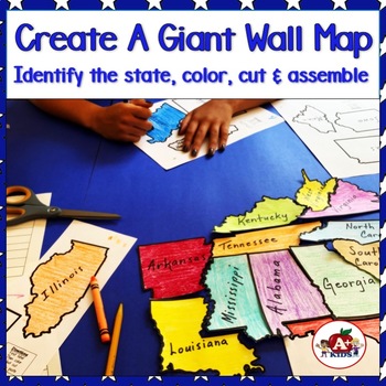
Giant Map of the United States Puzzle After State Testing Activities
Students use this engaging puzzle activity to create a giant United States map. Give your students a fun, engaging hands-on experience to become more familiar with America's 50 states and how they fit together.Students need to identify unlabeled state puzzle pieces by observing their shapes and then arranging them to construct a large US map. An index is provided to limit choices to only a few. The completed map is approximately 28" x 42".**The video (above) was created using the pieces for th
Subjects:
Grades:
Not Grade Specific
Types:
Also included in: The Bundle of America's 50 Great States
La Comida Explore Food in Spanish-Speaking Countries Virtual Field Trip ENGLISH
Need Spanish 1 sub plans or an activity for your Spanish food unit? This virtual field trip is great for your novice and exploratory Spanish classes to explore Spanish culture and food!The readings are in English and explore a variety of countries and foods. Each reading includes the food's name, and some background . The videos linked are a mix of Spanish and English. Great for novices or introducing your students to a variety of foods in the Spanish-speaking world!Please click here to save 20%
Subjects:
Grades:
Not Grade Specific
Types:
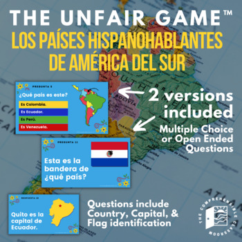
The Unfair Game in Spanish: Spanish Speaking Countries of South America
The game your students will love to hate! This ready-to-play game consists of 25 questions embedded in an interactive Slides presentation featuring questions about the Spanish speaking countries of South America: identifying them by location on the continent, naming their capital city, and identifying their flag.Learn more about The Unfair Game here!TWO versions of the game are provided: one with open-ended questions and one with multiple-choice questions. Use the open-ended questions to review
Subjects:
Grades:
Not Grade Specific
Types:
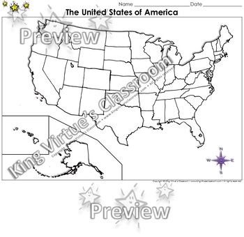
The United States of America Map - Blank - Full Page - King Virtue's Classroom
The United States of America Map - State Lines - Blank - Full Page - King Virtue's ClassroomWorking on your unit on Map Skills? This map is the perfect resource for you! Use it to review The United States of America with your students.This set includes:1 map sheetEnjoy!:)Copyright © King Virtue’s Classroom • www.kingvirtuesclassroom.com • All rights reserved.
Grades:
Not Grade Specific
Types:
Also included in: Social Studies MegaBundle - King Virtue's Classroom
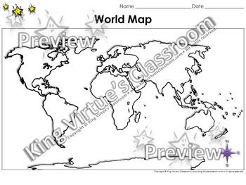
World Map: Continents and Oceans - Blank - Full Page - King Virtue's Classroom
World Map: Continents and Oceans - Blank - Full Page - King Virtue's ClassroomWorking on your unit on Map Skills? This map is the perfect resource for you! Use it to review the 7 continents and 5 oceans with your students.This set includes:1 map sheetEnjoy!:)Copyright © King Virtue’s Classroom • www.kingvirtuesclassroom.com • All rights reserved.
Grades:
Not Grade Specific
Types:
Also included in: Social Studies MegaBundle - King Virtue's Classroom
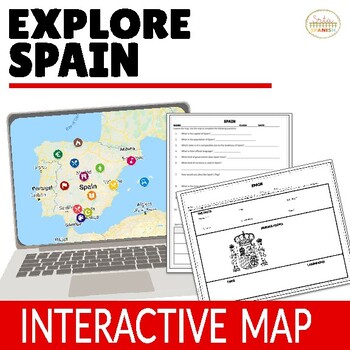
Virtual Field Trip to Spain Spanish Lesson Plans for Spanish Culture in ENGLISH
Let your students explore geography around the world! Content is discovered via an interactive Google Map through images, short readings, and videos! Time saver for you and engaging for students!❁ Click here to save 20% on a bundle of similar resources!! ❁Content, questions, and graphic organizer are in ENGLISH and explore geography and culture to help them learn about the beautiful country of Spain! INCLUDED:Map in EnglishWorksheet and Graphic Organizer in EnglishStudent pages in Google Slide
Subjects:
Grades:
Not Grade Specific
Types:
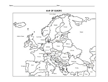
MAP OF EUROPE PRINTABLE COLORING PAGE WITH COUNTRIES
This black and white printable map of Europe includes all 51 countries. Print and Go! Great for reference or to print and color and learn. List of countries included: Albania, Andorra, Armenia, Austria, Azerbaijan, Belarus, Belgium, Bosnia and Herzegovina, Bulgaria, Croatia, Cyprus, Czech Republic, Denmark, Estonia, Finland, France, Georgia, Germany, Greece, Hungary,, Iceland, Ireland, Italy, Kazakhstan, Kosovo, Latvia, Lithuania, Luxembourg, Macedonia, Malta, Moldova, Monaco, Montenegro, Nethe
Subjects:
Grades:
Not Grade Specific
Types:
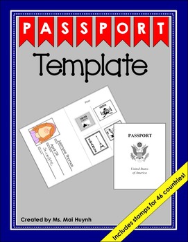
Passport Template
You and your students will love this simple passport template. Students can cut the country's stamp and glue it onto the visa page of their passport after "traveling" to that country. For your convenience, I organized the passport stamps in two different ways. I put all 46 unique stamps on two pages and I also put the stamps of one country on one page for each of the 46 countries. Download the preview to see what each of the passport stamps look like.
I would recommend printing the passport cov
Subjects:
Grades:
Not Grade Specific
Types:
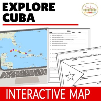
Cuba Virtual Field Trip Digital Map Activities ENGLISH ONLY
Let your students explore geography around the world! Content is discovered via an interactive Google Map through images, short readings, and videos! Time saver for you and engaging for students!Content, questions, and graphic organizer are in ENGLISH and explore geography and culture to help them learn about the beautiful country of CUBA! ❁ Click here to save 20% in a bundle! ❁INCLUDED:Map in EnglishWorksheet and Graphic Organizer in EnglishStudent pages in Google SlidesTeacher's NotesAnswer
Subjects:
Grades:
Not Grade Specific
Types:
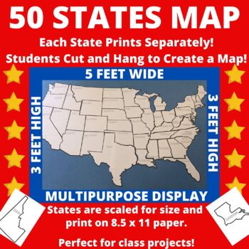
Large Printable United States Wall Map with State Names
Print the 50 states individually and assemble to create a bulletin board sized map of the United States perfect for class projects in a variety of subject areas! Who doesn't need a customizable U.S. map in their classroom?The completed map measures approximately 5 feet by 3 feet and includes blank outlines of the fifty states, each containing only the state name. States are scaled for size so that they can be neatly assembled into a large map.Ideas for Use:*Students researching the 50 states c
Subjects:
Grades:
Not Grade Specific
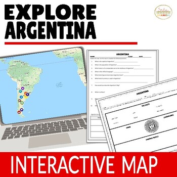
Argentina Virtual Field Trip Digital Map Activities ENGLISH ONLY
Let your students explore geography around the world! Content is discovered via an interactive Google Map through images, short readings, and videos! Time saver for you and engaging for students!❁ Click here to save 20% on a bundle of similar resources!! ❁Content, questions, and graphic organizer are in ENGLISH and explore geography and culture to help them learn about the beautiful country of Argentina! Students read, watch, and explore using the Google Map, then record information on the gr
Subjects:
Grades:
Not Grade Specific
Types:
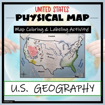
US Physical Map Activity- Label and Color US Physical Features!
This US Geography Map Activity is a MUST for students who are learning about the physical features of the United States! Students will identify, label, and color important geographic elements throughout the country. Directions for labeling and coloring is provided. A completed and colored map is provided for reference, but this map can be completed using a textbook or online resource as well. This is a creative and engaging way of supplementing lessons on geography, topography, and the history
Grades:
Not Grade Specific
Types:
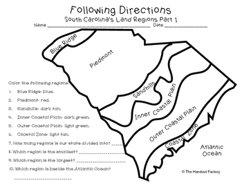
South Carolina's Land Regions- Following Directions Activities
Do you want your students to practice following directions and learn about South Carolina's land regions at the same time?!?! If so, these maps are for you!
This download includes two maps. On the first map, your students will color each region in a specific color. Your students will also answer a few questions about the map. On the second map, your students will draw certain characteristics inside each region. Example: Draw 3 mountains in the Blue Ridge.
This activity is a part of my So
Subjects:
Grades:
Not Grade Specific
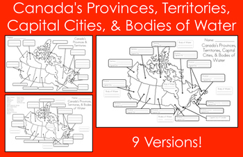
Mapping Canada's Provinces, Territories, Capital Cities, & Bodies of Water
This product includes nine map versions! There are three different types of maps, and each type has three different levels of difficulty designed to meet the needs of all your students!Map #1 - Students must label all of the provinces and territories of Canada.Version 1 - Fill in the blanksVersion 2 - First letter clue givenVersion 3 - Trace over the lettersMap #2 - Students must label all of the provinces, territories, and five bodies of water of Canada. *Word bank provided*Version 1 - Fill in
Subjects:
Grades:
Not Grade Specific
Types:
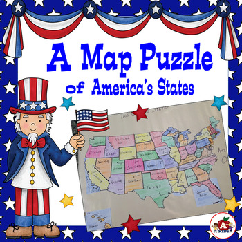
Map of the United States Puzzle After State Testing Activities
Your class can use these puzzle pieces to create a map of the United States. Give your students a hands-on experience to become more familiar with the geography of the United States. Objectives:-Develop a spatial awareness of the 50 states of America on a US map. -Identify individual states based on their shape.-Construct a map of the United States using student-labeled puzzle pieces.Students need to identify unlabeled state puzzle pieces by observing their shapes and then place them into the co
Subjects:
Grades:
Not Grade Specific
Types:
Also included in: The Bundle of America's 50 Great States
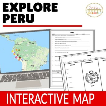
Culture Lesson for Peru Virtual Field Trip Digital Map Activities ENGLISH ONLY
Let your students explore geography around the world! Content is discovered via an interactive Google Map through images, short readings, and videos! Time saver for you and engaging for students!Content, questions, and graphic organizer are in ENGLISH and explore geography and culture to help them learn about the beautiful country of PERU! ❁ Click here to save 20% in a bundle! ❁INCLUDED:Map in EnglishWorksheet and Graphic Organizer in EnglishStudent pages in Google SlidesTeacher's NotesAnswer
Subjects:
Grades:
Not Grade Specific
Types:
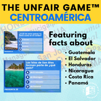
The Unfair Game in Spanish: Centroamérica Facts en español
The game your students will love to hate! This ready-to-play game consists of 25 questions embedded in an interactive Slides presentation featuring questions about the Spanish speaking countries of Central America (Guatemala, El Salvador, Honduras, Nicaragua, Costa Rica, and Panamá). All questions are written in Spanish using simple language so that even beginning language learners can play and learn!This game is designed to be played even if students have never learned the facts that the questi
Subjects:
Grades:
Not Grade Specific
Types:
Also included in: Central America Resources | Bundle
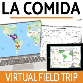
La Comida Food in Spanish Speaking Countries Virtual Field Trip SPANISH
Let your students explore food and culture around the world! Content is discovered via an online interactive Google Map through images, readings, and videos! Time saver for you and engaging for students!The readings are in Spanish and explore a variety of countries and foods. Each reading includes the food's name, and some background . The videos linked are a mix of Spanish and English. Great for novices or introducing your students to a variety of foods in the Spanish-speaking world!Please clic
Subjects:
Grades:
Not Grade Specific
Types:
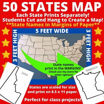
Large Printable Blank United States Wall Map Without State Names
Print the 50 states individually and assemble to create a bulletin board sized map of the United States perfect for class projects in a variety of subject areas! Who doesn't need a customizable U.S. map in their classroom?The completed map measures approximately 5 feet by 3 feet and includes blank outlines of the fifty states. Note that state names are NOT included within the state borders of this version. State names are included in the margins of the paper. Once states are cut, the state n
Subjects:
Grades:
Not Grade Specific
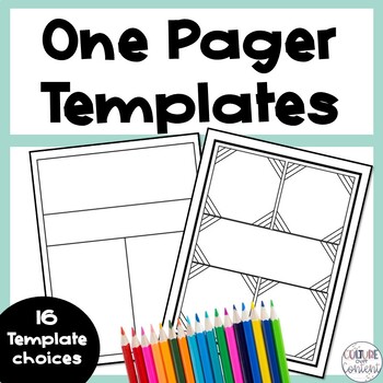
One Pager Templates
Give your students to opportunity to respond to what they have learned in a creative way with one pagers! This product includes 16 one pager templates that are perfect for students who haven't never completed a one pager before, or students who are unsure how to create their own one pager layout. Here's what you'll get:16 one pager templatesGreat to use for:♦ In-unit activity♦ Formative assessment♦ Summative assessment ___________________________________Copyright © Culture Over Content.Permissi
Grades:
Not Grade Specific
Types:
Also included in: Classroom Culture Toolkit
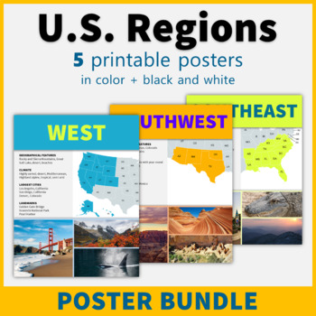
5 Regions of the United States Posters US Regions Geography Classroom Decor
This printable poster bundle of 5 posters in black and white makes it easy to learn about the regions of the United States! These posters are perfect classroom decor for social studies, American history, and geography classes!This bundle includes the following five region posters: NortheastSoutheast Midwest Southwest West Each poster includes a map and representative images, and features information about geographical features, climate, the largest cities in the region, and famous landmarks. The
Grades:
Not Grade Specific
Also included in: American History Posters Classroom Decor Value Bundle
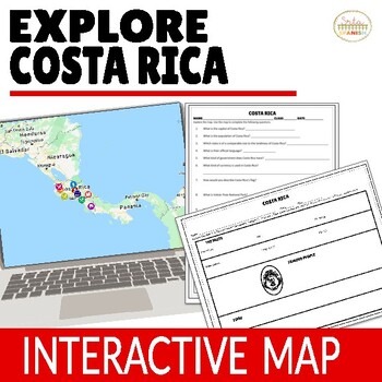
Costa Rica Virtual Field Trip Digital Map Activities ENGLISH ONLY
Let your students explore geography around the world! Content is discovered via an interactive Google Map through images, short readings, and videos! Time saver for you and engaging for students!❁ Click here to save 20% on a bundle of similar resources!! ❁Content, questions, and graphic organizer are in ENGLISH and explore geography and culture to help them learn about the beautiful country of Costa Rica! INCLUDED:Map in EnglishWorksheet and Graphic Organizer in EnglishStudent pages in Google
Subjects:
Grades:
Not Grade Specific
Types:
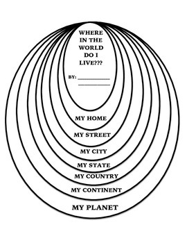
Where in the World Do I Live Flip Book
This is a flip book that helps students learn where they live- large scale to small scale. To assemble, print all pages, cut out each oval, layer, (largest oval on the bottom), staple or hole punch with a ribbon. On the "my street" oval students write their street name on a street sign. Make sure to add ST. AVE. or LN. On the "my home" oval, have students draw their house or apartment. FYI: I added an extra state piece for those not lucky enough to live in Texas. I made my own clipart for this
Subjects:
Grades:
Not Grade Specific
Types:
Showing 1-24 of 15,271 results


