3,737 results
12th grade geography homework
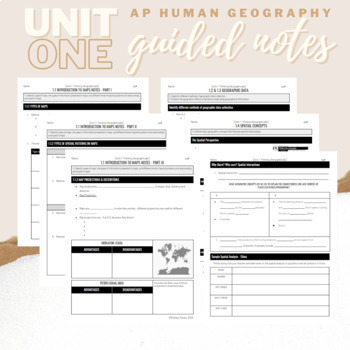
Unit 1: Student Guided Notes - AP Human Geography
Notes pages for each CED topic for Unit One. Use the guided notes to scaffold your Human Geography lectures or use the notes with my accompanying lecture videos on Youtube! You can find one or more lectures that correlate directly with EACH CED Topic for AP Human Geography Unit 1 here. Students can use as a study guide, you can assign for homework, or use with a self-guided lecture! You can assign this to be completed digitally for distance learning or print and have students complete hardcopy.
Subjects:
Grades:
9th - 12th
Types:
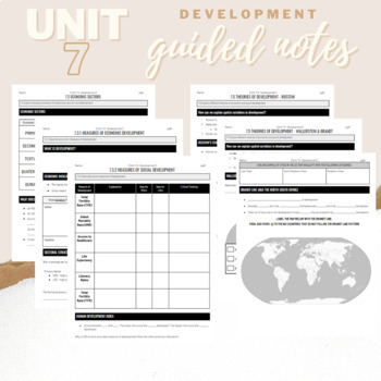
Unit 7: Development Student Guided Notes - AP Human Geography
Notes pages for CED Topics 7.2, 7.3, and 7.5 which are traditionally taught in Unit 7. I teach these topics as a mini-unit called Development directly after Unit 1. Use the guided notes to scaffold your Human Geography lectures or use the notes with my accompanying lecture slideshows. You can access the accompanying slideshows HERE. Students can use as a study guide, you can assign for homework, or use with a self-guided lecture! You can assign this to be completed digitally for distance learni
Subjects:
Grades:
9th - 12th
Types:
Central America and the Caribbean Mapping Activity
This product is a mapping activity on the region of Central America and the Caribbean. Students will label and color 26 different countries and territories as well as draw and label major physical features. When students have completed the map they will then answer 10 questions based on their map.This product also contains a blackline political maps of the region. I typically make the map a 11x17 making it easier for students to label countries and physical features.This is a rigorous map projec
Grades:
6th - 12th
Types:
Also included in: Geography Mapping Activities BUNDLE
Down to Earth with Zac Efron (BUNDLE of All 8 Episodes)
The docuseries, Down to Earth with Zac Efron, follows Efron and Darin Olien around the world as they examine eco-friendly and sustainable ways to live and help our Earth. Olien, a wellness expert, also focuses on ways we can improve our own health. This bundle includes all eight episodes from the series, but you are welcome to only purchase one or a few of the episodes if you are not interested in the bundle. You may see a preview for each lesson by clicking on the individual previews above.Th
Subjects:
Grades:
7th - 12th
Types:
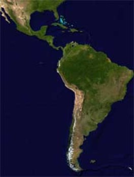
Latin America Mapping Activity
This product is a mapping activity on the region of Latin America. Students will label and color 24 different Latin American Nations as well as draw and label major physical features. When students have completed the map they will then answer 9 questions based on their map.This product also contains a blackline political map of Latin America. I typically make the map a 11x17 making it easier for students to label countries and physical features.This is a rigorous map project that makes the stude
Grades:
6th - 12th
Types:
Also included in: Geography Mapping Activities BUNDLE
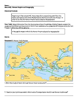
Roman Empire - Ancient Rome Geography Mini DBQ
Resource includes four primary and secondary sources about the role of geography in the Roman Empire. The emphasis is on how Rome adapted to its geography to become an economic and military powerhouse. Includes a resource for outlining and sentence starters for writing. This resource was originally taught to a 9th grade world history course, and is great for students who are just starting to write DBQs.
Subjects:
Grades:
6th - 12th
Types:
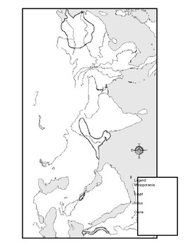
Ancient River Valley Civilizations Mapping Activity Worksheet
This mapping activity is on the Ancient River Valley Civilizations. Ancient River Valley Civilizations Mapping Activity includes explicit instructions on how to complete the map as well as questions based on the map along with knowledge based questions Ancient River Valley Civilizations.Students will label and color different aspects of Ancient River Valley Civilizations such as; cities, seas, important physical features and shade the area for each of the four main River Civilizations. This map
Subjects:
Grades:
6th - 12th
Types:
Also included in: Historical Mapping Activities BUNDLE
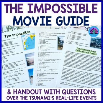
The Impossible Movie Guide Worksheet and Handout
This worksheet is an excellent resource to utilize when showing the powerful film The Impossible. It includes 20 multiple choice questions that go in order of the film, 14 multiple choice questions over a reading passage that discusses the tsunami and the family the film is based on, and 5 discussion/analysis short answer questions. Answer key included. Related Products☀ History Movie Big Bundle☀ U.S. History Movie Bundle - Perfect for a History Through Film Course☀ World Geography Movie Bundle☀
Grades:
7th - 12th
Types:
Also included in: World Geography Movie Bundle
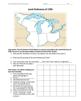
Land & Northwest Ordinances of 1785-87 / "Make Your Own Township" Simulation
This is a fantastic PDF handout to use for teaching the Land Ordinance of 1785 and the Northwest Ordinance of 1787. Students will answer fundamental questions on each act. They will then divide up the Northwest Territory into townships. They will name a township of their own, add dimensions, divide up the land into individual plots, and add homes, crop fields, churches, businesses, and a public school. On the back, students will answer more fundamental questions before creating their own "state
Grades:
5th - 12th
Types:
Also included in: 1st Semester: American Colonies to the War of 1812 Bundle
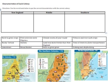
Compare&Contrast 13 Colonies (New England, Southern, & Middle) Pamphlet Project
This is an amazing lesson/project to help students differentiate between the 3 groups of colonies--New England, Middle, and Southern. Student's final project will be a pamphlet where each fold explains a different group of colonies.
Included in this lesson:
1) Do now--naming the 13 colonies on a map, latitude and longitude fill in the blank, and a determining century question.
2) Graphic organizer where students have to put 12 different characteristics into the correct box (New England, South
Grades:
6th - 12th
Types:
CCSS:
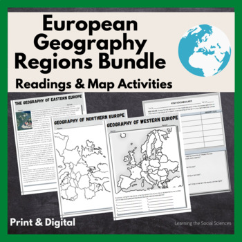
European Regional Geography Bundle Readings & Map Activities: Print & Digital
The readings explain the major geographical and cultural items of Northern, Eastern, Southern, and Western Europe.Each region comes with two map activities, one where they simply list the countries that are numbered on a map (used during distance learning) and another one where they color and label everything.The link to Google Versions is in the key section on the Microsoft Doc & PDF version.Multiple Editable Formats: I have it in multiple formats so you can utilize a version that works for
Grades:
7th - 12th
Types:
North Africa, Southwest Asia & Central Asia Mapping Activity
This product is a mapping activity on the regions of North Africa, Southwest Asia & Central Asia. Students will label and color 26 different nations as well as draw and label major physical features. When students have completed the map they will then answer 10 questions based on their map.This product also contains a blackline political map of of the region. I typically make the map a 11x17 making it easier for students to label countries and physical features.This is a rigorous map project
Grades:
6th - 12th
Types:
Also included in: Geography Mapping Activities BUNDLE
United States Mapping Activity
This product is a mapping activity over the United States of America. Students will label the 50 states as well as draw and label major physical features. When students have completed the map they will then answer 6 questions based on their map.This product also contains a blackline political map of the United States of America. I typically make the map 11x17 making it easier for students to label and draw the physical features.This is a rigorous map project that makes the students learn the 50
Grades:
6th - 12th
Types:
Also included in: Geography Mapping Activities BUNDLE
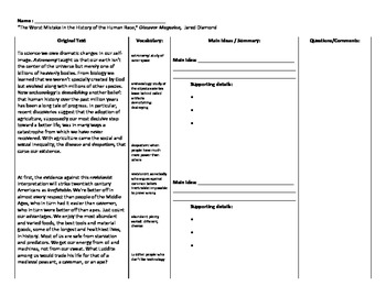
Neolithic Revolution - Worst Mistake in Human History - Reading Comprehension
Resource includes excerpts from an article by Jared Diamond titled "The Worst Mistake in Human History." In the article, Diamond argues that the discovery of agriculture was actually a mistake the worsened the human condition. He points out that agriculture led to social class, wars, gender inequality, etc. The resource defines difficult words for struggling readers, and has a column for students to summarize main ideas and a final column for them to annotate and write questions/comments. Th
Subjects:
Grades:
9th - 12th
Types:
Down to Earth with Zac Efron (Episode 3: Costa Rica)
The docuseries, Down to Earth with Zac Efron, follows Efron and Darin Olien around the world as they examine eco-friendly and sustainable ways to live and help our Earth. Olien, a wellness expert, also focuses on ways we can improve our own health. Episode 3 takes place in Costa Rica and examines sustainable living, their way of approaching education, and an animal rehabilitation clinic. One sees how they live out their unofficial motto of “Pura Vida’! This series would be beneficial in a Geo
Subjects:
Grades:
7th - 12th
Types:
Also included in: Down to Earth with Zac Efron (BUNDLE of All 8 Episodes)
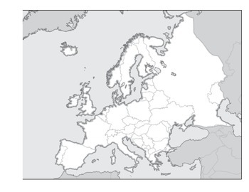
Physical Geography of Europe Worksheet - Map Labeling
Students are asked to label a variety of physical features on a blank map of Europe. Included:
Alpine Mountain System
Iberian, Scandinavian, and Balkan Peninsulas
Seas and Oceans
Rhine and Danube Rivers
Northern European Plain
and many more
Grades:
3rd - 12th
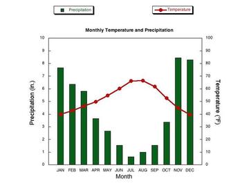
Climographs Lesson and Activity
This product teaches students how to read and analyze climographs. Then this product has students create their own climograph from the data provided. Finally, students analyze three climographs to answer questions. This is a create lesson that can be taught in one period and/or used for homework.Check out the preview to see this excellent product.Thanks for stopping by!You may also be interested in these lessons:Population Pyramids Lesson and ActivityDemographic Transition Model (DTM) Lesson
Grades:
6th - 12th
Types:
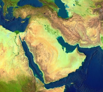
Middle East Region Mapping Activity
This product is a mapping activity on the region often referred to as the Middle East. Students will label and color 25 different Middle Eastern Nations as well as draw and label major physical features. When students have completed the map they will then answer 8 questions based on their map.This product also contains a blackline political maps of the region. I typically make the map a 11x17 making it easier for students to label countries and physical features.This is a rigorous map project th
Grades:
6th - 12th
Types:
Also included in: Geography Mapping Activities BUNDLE
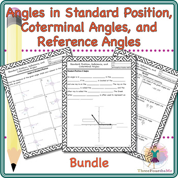
Angles in Standard Position, Coterminal Angles, and Reference Angles Bundle
This product contains scaffolded notes with forty-six practice problems that can be worked as a class, in groups, or individually either in the classroom or as homework. Definitions of standard position, coterminal angles, and reference angles are given with multiple practice problems for each. The homework contains forty-two practice problems that can be worked as a class, in groups, or individually either in the classroom or as homework. Students have the opportunity to work on multiple proble
Subjects:
Grades:
9th - 12th
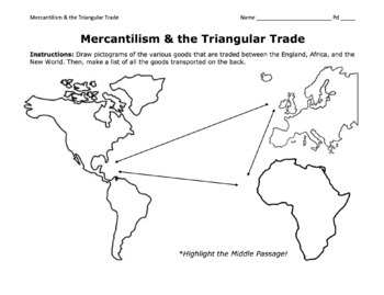
Triangular Trade & Mercantilism Map Activity / Draw Pictograms and Match Goods
This is a fantastic activity for students to learn the ins and outs of the Triangular Trade (including the Middle Passage) and mercantilism. Students will get creative and draw pictograms to represent the various goods transported over the Atlantic. On the back page, students will use a word bank to match these goods to their trade route. At the bottom, they will answer essential questions about mercantilism.©Founding Fathers USA. All rights reserved by Founding Fathers USA. This product is to b
Grades:
5th - 12th
Types:
Also included in: 1st Semester: American Colonies to the War of 1812 Bundle
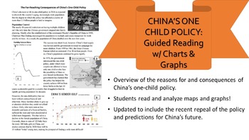
One-Child Policy Reading, Charts, & Questions Distance Learning
China's One-Child Policy and updates! This short reading gives a great overview of the causes and effects of China's one-child policy and the nation's reasons for loosening these restrictions. It covers China's gender imbalance, growing aging population, and shrinking labor force while asking students questions that test their comprehension skills and their ability to read maps and graphs. Useful for an in-class assignment or homework. I combined numerous articles and reduced the lexile level to
Grades:
6th - 12th
Types:
Canada Mapping Activity
This product is a mapping activity over Canada. Students will label and color Canadian provinces and territories as well as draw and label major physical features. When students have completed the map they will then answer 5 questions based on their map.This product also contains a blackline political map of Canada. I typically make the map 11x17 making it easier for students to label and draw physical features.This is a rigorous map project that makes the students learn about Canada and its phy
Grades:
6th - 12th
Types:
Also included in: Geography Mapping Activities BUNDLE
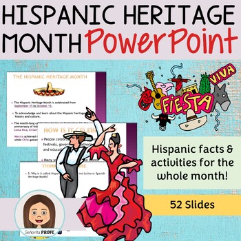
Hispanic Heritage Month PowerPoint
Interactive PowerPoint about the Hispanic Heritage Month.Includes historical facts about Latin America and the origin of the celebration, HW assignments, games and group activities.Click HERE for my curriculum resource guideCan be broken down to introduce different facts, as a warm up or closing throughout the Hispanic Heritage month52 slides totalMore details in previewAppropriate for Middle and High School StudentsCan be used in Social Studies and World Language classYOU MAY ALSO LIKELa Musi
Grades:
7th - 12th, Higher Education, Adult Education
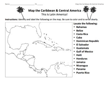
Caribbean & Central America Map / Locate the Latin American Nations
This is a simple map of the Caribbean and Central America. Students will identify the Gulf of Mexico, the Caribbean islands, and Latin American nations. Key included.©Founding Fathers USA. All rights reserved by Founding Fathers USA. This product is to be used by the original downloader only. Additional teachers must purchase their own license or TpT's multiple license option.
Subjects:
Grades:
5th - 12th
Types:
Also included in: 45+ World Maps / Map the Geographical Features of Major Countries
Showing 1-24 of 3,737 results


