1,251 results
Kindergarten St. Patrick's Day geography handouts
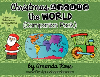
Christmas Around the World Interactive Slideshow or Informational Text
This is a companion pack to my best-selling "Christmas Around the World Scrapbook & Craft Pack".**Updated Sept. 12/16 -- slideshow is now 87 pages with 20 countries, including other winter holidays such as Kwanzaa, Diwali, and Hanukkah.**Updated Dec. 12/16 -- added an editable version of the slideshow pages so you may add your own countries. I will not be adding any more countries to the pack.**Updated Nov. 30/20 -- added a folder with separate PowerPoints for each country, to help with dist
Grades:
K - 3rd
Types:
Also included in: Christmas Around the World Bundle
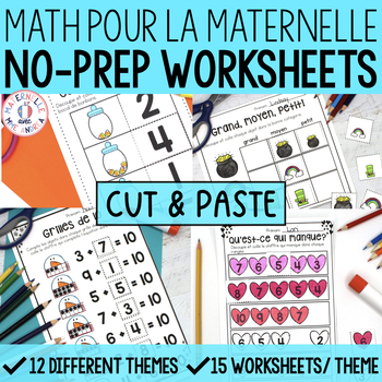
FRENCH Worksheets - Cut & Paste No Prep Math Worksheets BUNDLE - maternelle
Are you in a pinch and need something simple (yet engaging) for your French primary students to do during your math block? Did you just find out that you need to plan for a non French-speaking substitute tomorrow but you have a million other things to do? Or, are you just looking for some independent practice sheets for your students to complete at the end of a hands-on lesson?Whatever your reason for needing some no-prep French math worksheets, I've got your back!This BUNDLE of 12 sets of cut &
Subjects:
Grades:
PreK - 1st
Types:
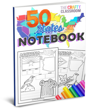
50 State Activity Pages
50 State Activity Pages to help your students learn how to map the location, capital, nickname, state flower, state bird, landmarks, and abbreviations of each state! Designed for multiple ages, K-5, and abilities, your students will write key details about each of the 50 states while exercising important skills such as writing, drawing, researching facts, and mapping each state of the union. These fun-filled, hands-on worksheets include no-prep journal pages and cover multiple subjects such as g
Grades:
K - 5th
Types:
Also included in: U.S.A. Activity Bundle: 50 State Teaching Resources
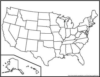
Blank United States Maps (Four map versions with Quiz)
Hi there! This file contains four maps of the United States of America: a blank mapa blank map with stars for the capitalsa blank map with states numbered in order of statehooda larger map (two-page spread) with stars for the capitalsAlso included is a fill-in sheet (quiz) for students to name the numbered states and an answer key. Thank you for shopping with "Learning With Kiwi" and happy learning!
Subjects:
Grades:
K - 8th
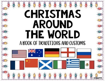
Christmas Around The World Packet {10 Countries + Worksheets}
Learn how these eleven countries around the world celebrate Christmas! The countries that are included in the packet are: Australia, USA, China, England, France, Germany, Greece, Italy, Mexico, Russia, and Scotland. Also included is a blank venn diagram and a writing space to describe their Christmas tradition. There is a writing page for K-2 primary kids and the upper grades.Each page includes the map of the country and the flag. It also includes how to say Merry Christmas in each language as w
Grades:
PreK - 8th
Types:
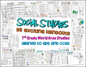
Bundle of 28 Worksheets for 7th Grade Social Studies GPS Georgia
This is a HUGE lot of fun and engaging handouts for students to use in reviewing key information. Included in this package are 28 individual activities, including puzzles, maps, fill-in-the-blank sections, word searches, matching, etc. Most of these items were created to help students review for the end of year test, so they cover a variety of topics and standards.
This is a great way to get your students excited about social studies. I use most of these resources as warm up and closing activi
Grades:
PreK - 12th, Higher Education, Adult Education, Staff
Types:
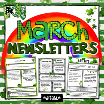
March Newsletter Teacher Templates- Editable
REVISED: February 2019There are 21 premade Newsletter templates! All you have to do is simply type in your information and print! Completely EditableEvery piece of text is 100% EDITABLE! That means you can add or remove text boxes, change the wording or change the fonts to meet your specific classroom needs!Make Communicating With Parents EasierThese editable newsletter templates make communicating with parents faster and easier! You can type out learning goals, upcoming events, ways to help at
Grades:
PreK - 6th, Staff
The Busy Teacher's Best Friend March Edition
Reading
Story Elements
Comparing 2 Fictional Books
Comparing Fiction to Non-Fiction
Problem and Solution
Sequencing Events
Fact/Opinion
Beginning/Middle/End
Listening Center Recording Sheets
Skills
Nouns
Inflectional Endings
Medial Vowel Sounds
Word Endings
Adjectives
Parts of Speech (altogether)
Synonyms/Antonyms
ABC Order
Compound Words
Math
True/False Greater Than or Less Than
True/False Number Sequencing
Expanded Form
Addition to Twenty
Subtraction (Even and Odd)
Adding to Ten
Adding Two D
Subjects:
Grades:
K - 2nd
Types:
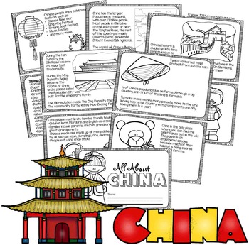
China Facts Book for Kids
Kids will have learning about China as they read and color their very own book. There are 2 book styles: lots on informative text (2nd-6th grade) and simple text with traceable key words (PreK-1st grade).
NO PREP! Just print in black and white, cut in half, and staple. Includes both a boy and girl cover.
Pages Included:
- Map (including population, Yangtze River, Gobi Desert, Mount Everest, and capital Beijing)
- Flag (language and alphabet)
- Great Wall of China
- The
Subjects:
Grades:
PreK - 5th
Types:
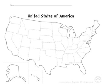
Blank Map Of The USA
This PDF file is a blank map of the USA. Use this to learn states, capitals, cities, landmarks, mountains, rivers, oceans, etc.
Enjoy!
Subjects:
Grades:
PreK - 12th
Types:
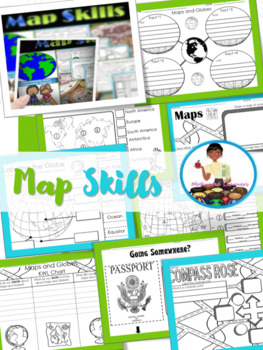
Map Skills Unit | Maps and Globes Activities | Types of Maps
Maps and Globes: If you are studying maps and globes, or maybe you just need a review, then these activities will fit right into your lessons.These activities can be implemented in whole group during a map skills study. Answer Key : IncludedSocial Studies Standards: SS.1.G.1.2; SS.1.G.1.4; SS.1.G.1.5; SS.1.G.1.6-Map & Globe Fact Web-Map & globe overview-What is a map? What is a globe?-Maps & Globes Reading Comprehension-Maps and Globes KWL-Labeling the globe (Cut & Paste)-Maps &a
Subjects:
Grades:
K - 2nd
Types:
Yo en el mapa (Me On The Map SPANISH)
¡Hola!
Here is an unit that is perfect for teaching your kiddos about the world that they live in. It goes with the book "Me on the Map."
What's included on the unit:
-page toppers (girl and boy)
-tabbed book for planet, continents, country, state, city, street, house, and the last page is for them to draw themselves. There's two version of this book, one that has accompanying clip art and one that is blank (clip art is included separately).
-There is also clipart of every state (2 to a page)
Subjects:
Grades:
K - 3rd
Types:
Natural Disaster Activities and Assessments
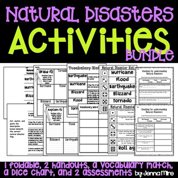
This download includes:-a flip book on 5 natural disaster (hurricane, tornado, blizzard, flood, earthquake)-definitions to cut out and to glue inside the flip book-"Draw it!" hand out-"Explain it!" hand out-Vocabulary match up (words, definitions, and a blank grid for matching)-Vocabulary puzzel match up-Natural disaster vocabulary rolls (One sheet with the word and one sheet with the definition)-Draw the disaster hand out-Tornado in a bottle hand out-Where does this happen? hand out-Assessment:
Grades:
K - 6th
Natural Disasters Fact Sheets
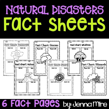
This document is a simple and quick way for your students to take notes on 6 well know natural disasters.Includes:Fact sheets for- Tornadoes, Volcanoes, Storms, Hurricanes, Wildfires, and BlizzardsEach sheet calls for the student to write 4 facts on a natural disaster
Subjects:
Grades:
PreK - 9th
Types:
World map and continents: Vintage style geography poster set (10 maps)
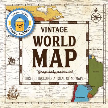
World map and continents: vintage style geography poster setThis world and continents set includes a total of 10 maps:• World• Africa• South America• Central America• North America• Europe (2)• Middle East• Asia• OceaniaMaps capture current geographical and political boundaries (as of May 2019) with vintage-style graphics and script. The world map clearly labels continents and oceans. Continent maps label all countries, oceans and include a color-coded country key.These maps are a great addition
Subjects:
Grades:
PreK - 12th, Higher Education, Adult Education, Staff
Mapping Skills and Activities - Geography - Map Design - Map Activity
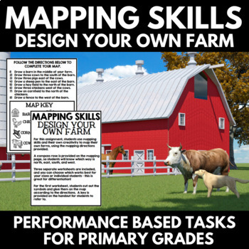
Mapping Skills: Performance Based Tasks - Design Your Own Farm! For this fun geography activity, students use mapping skills and their own creativity to map their own farms, using the mapping directions provided. Perfect for your upcoming mapping unit or geography unit, these mapping activities would also make great additions to a geography interactive notebook.⭐A compass rose is provided on the mapping page, so students will know which way is north, east, south, and west.⭐Three separate workshe
Grades:
PreK - 1st
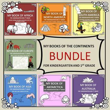
My Books of the Continents Bundle
A bundle which incorporates the books of all 7 continents for kindergarten, 1st grade and 2nd grade. Your students can create an informative 12 page booklet on each of the continents. The non-fiction text is easy to assemble using only 3 back to back sheets (to save paper). Students will enjoy reading about cultures, facts, landmarks and animals of each continent. There are simple tasks for them to complete in each book including coloring maps and flags, drawing and answering simple questions. T
Grades:
K - 2nd
Types:
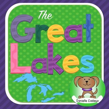
Great Lakes
This packet has been created to help introduce the Great Lakes to Primary StudentsIncluded:1. Label the Great Lakes on a map (Map is full page size with ample writing space for early writers. Color and B&W versions included. No-line version also included)2. “The Great Lakes look like…” This creative activity is for students to look at the shape of the lakes and decide what they think the lakes look like . There are sample pictures included that you may want to use to inspire students. (M
Subjects:
Grades:
PreK - 3rd
Types:

United States Map of Individual States Coloring Book
Coloring book containing individual pages for all 50 states of the United States. Every page has an outline with capitol location indicated, mapped location within the United States, and the state flag of each given state.
Grades:
PreK - 8th
Types:
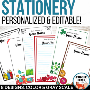
EDITABLE Stationery, Letterheads, Parent Letter Templates, Stationary
Personalized EDITABLE bstationery for every month of the school year! 9 theme bundle in color & gray scale. Fun letterheads and notes for every occasion. Includes Word Docs to create professional looking writing paper, documents, and notes!You receive:Editable Microsoft Word DocumentsColor & gray scale of each themeEach theme includes 4 layoutsLined and unlined versions (unlined complete with text boxes)Full and half page sizes9 themes in this bundle include:☺ Pencil / school theme☺ Hall
Subjects:
Grades:
PreK - 12th, Staff
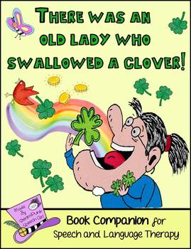
There Was An Old Lady Who Swallowed A Clover!: St. Patrick's Day Book Companion
This time the silly Old Lady is swallowing St. Patrick's Day items: a clover, bird, butterfly, gold coins, a pot, a daisy and a fiddle!This unit is meant to be used with, "There Was An Old Lady Who Swallowed A Clover" by Lucille Colandro. The book is not included, please buy or borrow from your library.What Should I Use This For?I've created this book companion as a fun, St. Patrick's Day themed activity. It involves minimal prep and can address a wide range of speech and language goals.Plea
Grades:
PreK - 3rd
Types:
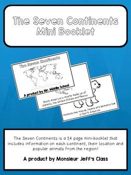
The Seven Continents Mini-Booklet
The Seven Continents is a 24 page mini-booklet for primary grades or English learners.
The booklet includes information on all seven continents offering maps with locations, a fact about each continent and animals from those regions.
Perfect for social studies, language class, primary and junior grades, and English learners.
Booklet is in black and white and made to be coloured by the students. The final page includes a blank map for students to label with their new found knowledge!
Sample
Subjects:
Grades:
PreK - 5th
There Was an Old Lady Who Swallowed a Clover Adapted Book
This adapted book for "There Was an Old Lady Who Swallowed a Clover" is perfect for emergent readers. Based on the book by Lucille Colandro, this adapted book is perfect for speech therapy, helping students with sequencing, early intervention, and more! Perfect for preschool and kindergarten, these use simple repetitive sentences. The simple repetitive nature is easy for emerging readers to follow and with clear text and limited visuals. If you loved this adapted book, be sure to check out this
Grades:
PreK - 1st
Also included in: There Was an Old Lady Adapted Book Bundle
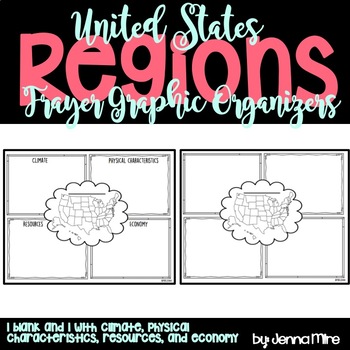
United States Regions Frayer Graphic Organizer
The Frayer Model graphic organizer is a chart with four sections, which can hold facts about each region's climate, physical characteristics, resources, and economy.
In the middle there is a blank line, I had the students write the region we were working with on that line. Then the students colored the region we were working with on the small United States map in the middle.
This document also comes with a blank Frayer model graphic organizer that you can use incase you are covering different
Grades:
PreK - 5th
Showing 1-24 of 1,251 results


