60 results
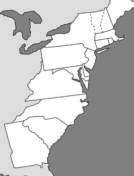
6th grade U.S. History assessment images
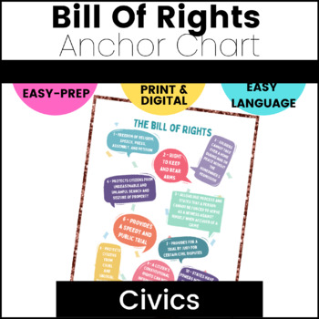
The Bill of Rights Anchor Chart
Have you ever found it difficult to teach the Bill of Rights in a way middle schoolers will understand? Are all the old posters kinda boring? Middle school students are never too old for an Anchor Chart!! Then this is your solution! Using this bright, colorful, and easy to interpret Bill of Rights Anchor Chart, your students will be able to learn the Bill of Rights in a way that speaks to them. Just download, print, and go! Or, use it as a poster in the classroom. Here's what you'll get:A
Subjects:
Grades:
5th - 8th
Types:
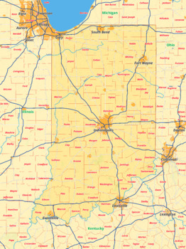
Indiana map with cities township counties rivers roads labeled
Indiana map with cities township counties rivers roads labeledThis download contains files that may be printed and copied or used digitally.___________________________________________________________________World City MapsBooksPinterestInstagramFacebookTikToK
Grades:
5th - 12th, Higher Education
Types:
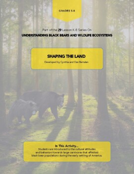
SHAPING THE LAND
In This Activity... Students are introduced to the cultural attitudes and behaviors towards large carnivores that affected black bear populations during the early settling of America. In the John Adams Worksheet, students evaluate historic changes to the American landscape and create a poster-presentation on possible future changes to the environment. Recommend the "Media Bundle" with the Black Bear History video. This package includes: Historical Bear Range maps, John Adams student worksheet, H
Grades:
5th - 8th
Types:
Also included in: SHAPING THE LAND Media Bundle
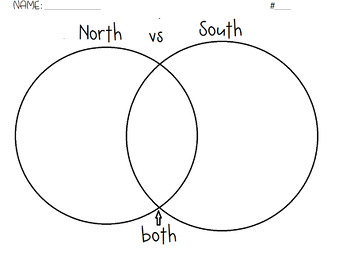
North and South Venn Diagram Civil War
Great to review or assess the Civil War.
Grades:
3rd - 10th
Types:

Comparing Colonial Region Lecture and Quiz Bundle
This bundle includes a set of student notes, a Google Slides with activities and Peardeck questions embedded, and a ten-question multiple-choice quiz.
Subjects:
Grades:
6th - 12th
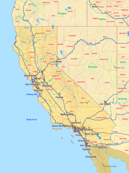
California map with cities township counties rivers roads labeled
California map with cities township counties rivers roads labeledThis download contains files that may be printed and copied or used digitally.___________________________________________________________________World City MapsBooksPinterestInstagramFacebookTikToK
Grades:
5th - 12th, Higher Education
Types:
Complete: North Carolina Counties Regional Map Quizzes (3) & 100 Counties Test
Simple is what I need in my life. Don't you?I wanted to assess my students on memorizing the North Carolina counties. It's an important life skill to know what lies around you. As well, it offers a whole new perspective in studying your state history if you have a greater understanding of your geography.To make it palatable, I wanted to break this task into different parts. First students learn individual regions and then as a state as a whole.However, upon my searches, I couldn't fin
Grades:
4th - 10th
Types:

Florida map with cities township counties rivers roads labeled
Florida map with cities township counties rivers roads labeledThis download contains files that may be printed and copied or used digitally.___________________________________________________________________World City MapsBooksPinterestInstagramFacebookTikToK
Grades:
5th - 12th, Higher Education
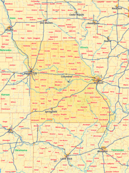
Missouri map with cities township counties rivers roads labeled
Missouri map with cities township counties rivers roads labeledThis download contains files that may be printed and copied or used digitally.___________________________________________________________________World City MapsBooksPinterestInstagramFacebookTikToK
Subjects:
Grades:
5th - 12th, Higher Education

New Mexico map with cities township counties rivers roads labeled
New Mexico map with cities township counties rivers roads labeledThis download contains files that may be printed and copied or used digitally.___________________________________________________________________World City MapsBooksPinterestInstagramFacebookTikToK
Grades:
4th - 11th, Higher Education

Texas map with cities township counties rivers roads labeled
Texas map with cities township counties rivers roads labeledThis download contains files that may be printed and copied or used digitally.___________________________________________________________________World City MapsBooksPinterestInstagramFacebookTikToK
Grades:
5th - 12th, Higher Education
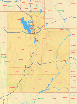
Utah map with cities township counties rivers roads labeled
Utah map with cities township counties rivers roads labeledThis download contains files that may be printed and copied or used digitally.___________________________________________________________________World City MapsBooksPinterestInstagramFacebookTikToK
Grades:
5th - 12th, Higher Education
Types:
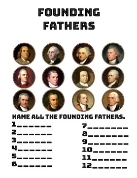

Comparing the American Colonies
A WebQuest/Google Forms Quiz bundle to assess student learning and concept retention.
Subjects:
Grades:
6th - 10th
Types:
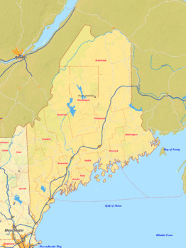
Maine map with cities township counties rivers roads labeled
Maine map with cities township counties rivers roads labeledThis download contains files that may be printed and copied or used digitally.___________________________________________________________________World City MapsBooksPinterestInstagramFacebookTikToK
Grades:
6th - 12th, Higher Education
North Carolina Counties Map Quizzes by Region (and Answer Keys)
Simple is what I need in my life. Don't you?I wanted to assess my students on memorizing the North Carolina counties. It's an important life skill to know what lies around you. As well, it offers a whole new perspective on studying your state's history if you have a greater understanding of your geography.To make it palatable, I wanted to break this task into different parts. First students learn individual regions and then as a state as a whole.However, upon my searches, I couldn't find an
Grades:
4th - 10th
Types:

Manifest Destiny and John O"Sullivan
This lesson will help to clarify and explain the origin of Manifest Destiny and the identity of its originator, John O"Sullivan. Following that introduction, other related events will come into play and hopefully will help students to understand how these and other matters came together to produce a flow of people migrating to the West. So this lesson involves synthesizing several ideas to arrive at an understanding of the dynamics involved in the migration of settlers moving west despit
Grades:
3rd - 6th
Types:
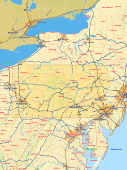
Pennsylvania map with cities township counties rivers roads labeled
Pennsylvania map with cities township counties rivers roads labeledThis download contains files that may be printed and copied or used digitally.___________________________________________________________________World City MapsBooksPinterestInstagramFacebookTikToK
Grades:
5th - 12th, Higher Education
Types:
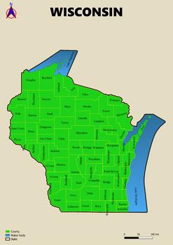
Map of the state of Wisconsin in the USA with regions, counties labeled
Map of the state of Wisconsin in the USA with regions, counties labeledThis download contains files that may be printed and copied or used digitally.___________________________________________________________________World City MapsBooksPinterestInstagramFacebookTikToK
Grades:
3rd - 6th
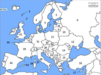
European countries by number
countries numbered to test geographical knowledge
Subjects:
Grades:
6th - 12th
Types:

Wisconsin map with cities township counties rivers roads labeled
Wisconsin map with cities township counties rivers roads labeledThis download contains files that may be printed and copied or used digitally.___________________________________________________________________World City MapsBooksPinterestInstagramFacebookTikToK
Grades:
5th - 12th, Higher Education
Types:
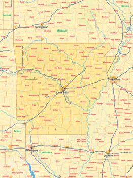
Arkansas map with cities township counties rivers roads labeled
Arkansas map with cities township counties rivers roads labeledThis download contains files that may be printed and copied or used digitally.___________________________________________________________________World City MapsBooksPinterestInstagramFacebookTikToK
Grades:
6th - 11th, Higher Education
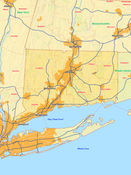
Connecticut map with cities township counties rivers roads labeled
Connecticut map with cities township counties rivers roads labeledThis download contains files that may be printed and copied or used digitally.___________________________________________________________________World City MapsBooksPinterestInstagramFacebookTikToK
Grades:
5th - 12th, Higher Education
Showing 1-24 of 60 results


